Peaks & Highpoints of Virginia
www.surgent.net |
| Flagpole Knob |
• Highpoint: Rockingham County • Slate Springs Mountain • George Washington National Forest |
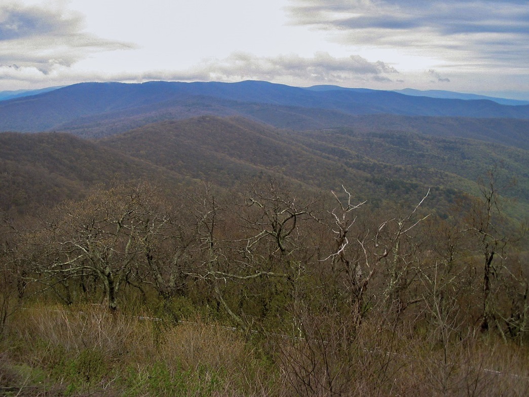 Slate Springs Mountain as seen from Reddish Knob
|
Date: May 11, 2008
• Elevation: 4,360 feet
• Prominence: 640 feet
• Distance: 4 miles
• Time: 90 minutes
• Gain: 500 feet
• Conditions: Cold and extremely windy
Main
•
PB
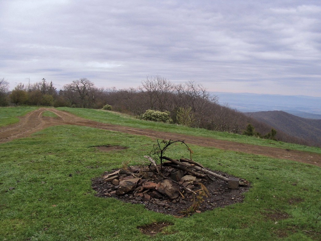
The goal for this morning were two summits nearby one another on or near the Virginia-West Virginia state line: Flagpole Knob (inside Virginia), and Reddish Knob (on the boundary). The highpoint for Rockingham County is named "Flagpole Knob", the highest point of a gently-rounded hump along a ridge called Slate Springs Mountain. The map shows a road leading to the highpoint, although its condition (especially for small rental cars) might be questionable.
Nearby is Reddish Knob, the summit for this immediate section of the Appalachian Mountains. Reddish Knob is about 35 feet higher than Flagpole Knob, but it lies in neighboring Highland County. A paved road leads to that summit, and both peaks can be reached from the same junction of forest roads at Briery Gap.
The rains had been strong in previous days but the weather forecasters were calling for a break in the systems for about a day (mid-day Saturday to mid-day Sunday) so we arranged it so that I could take the car early Sunday morning and visit (hopefully) both peaks. I left before 5 a.m. for the 100-mile journey. I followed Interstate-81 south for 70 miles past Harrisonburg, then took highway VA-257 west through the towns of Bridgewater, Dayton, Ottobine and Briery Batch toward the forested range. The weather was holding steady. There was fog and heavily overcast skies, but no rain.
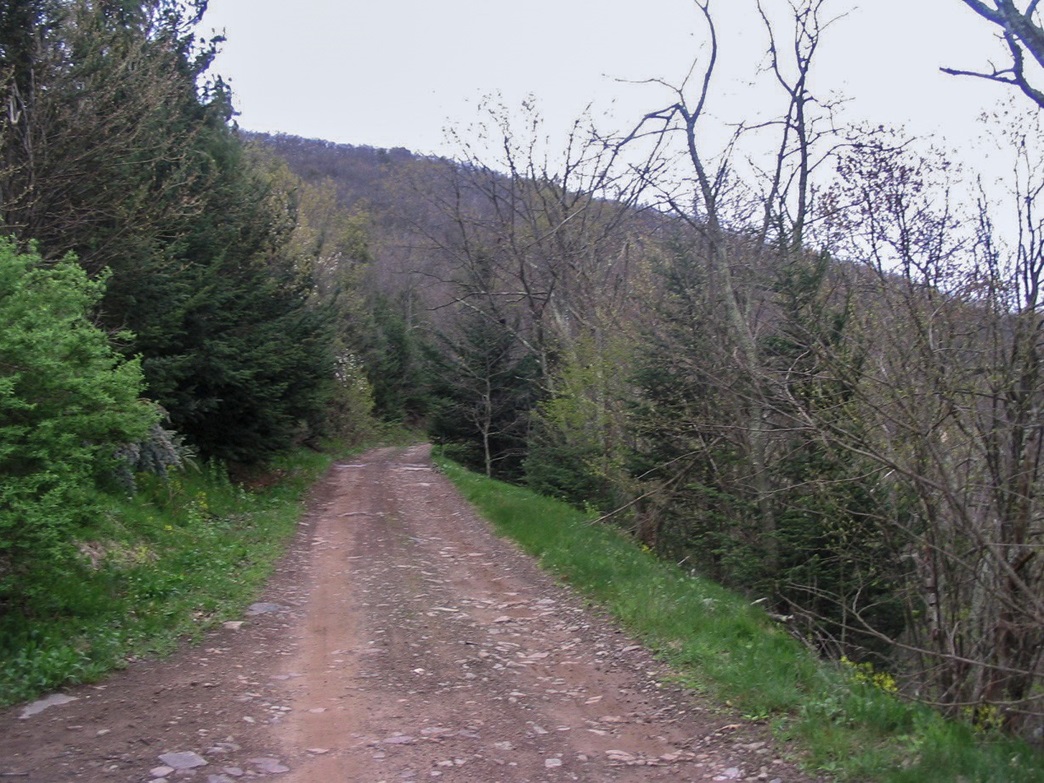
The highway I was on becomes more narrow and rural, and turns into a George Washington National Forest Road, which I followed another 7 miles to the range crest, a pass called Briery Gap on the Virginia-West Virginia boundary. The right (north) gravel and dirt road goes to Flagpole Knob and the left (south) paved road goes to Reddish Knob, while straight ahead leads into West Virginia.
I got out briefly and immediately got knocked back by the cold and the brisk wind blowing ominously and making quite a roar as it blew through the trees. The car's outside temperature gauge read 41 degrees, and I didn't have my jeans with me. I hoped our little Chevy Malibu rental would handle the three miles to the summit, so I gave it a try. I eased the car up about a mile but had to park early, as the roads were too muddy to proceed safely. So I put on my sneakers and started the two-mile hike to the top.
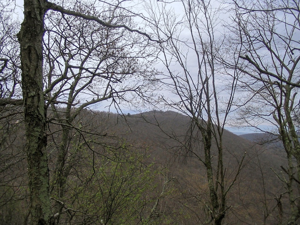
I was cold (I had a good jacket, which helped), but as long as I kept moving, I stayed warm. I followed the road north then east, gaining 500 feet in two miles to the top. I was concerned all hell would break loose with the rain, so I didn t lollygag. I arrived onto the summit hump and snapped a couple quick photos. Without stopping, I started the walk back to the car, jogging some of the route. The whole time, the wind blew steady with gusts about 40 m.p.h., and the sky was a dark gray ... but no rain ... yet. I was back to the car within 90 minutes. I drove back down the road onto the pavement, glad to be off the dirt and muddy road.
Date: May 11, 2008 • Elevation: 4,397 feet • Prominence: 2,003 feet (Lidar) • Distance: drive-up • Time: 20 minutes • Gain: none • Conditions: Crap
PB
Back at Briery Gap, I drove south up the paved road for three miles to the summit of Reddish Knob. The road is steep and narrow but in good condition. It has blind curves and oncoming traffic could pose a problem, but I was confident there wasn t anyone else up here this blustery morning. I arrived on top of Reddish Knob in 10 minutes.
What a disappointment. The top is the parking lot, and there is ugly graffiti everywhere. I got out for a moment to tag what I thought were the highest points and to snap a photo or two, but I did not linger. This was just a peak to check off my list.
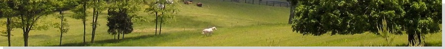
I drove down and continued back into civilization. Incidentally, the Ottobine area is home to traditional Mennonites (I think). As I drove down, they were coming up the road in their horse-drawn buggies, going to church. Some rode bikes, and the men had those cool beards that grow long around the chin but with no moustache. Back on the interstate, the rains came with a vengeance, slamming me all the way back to Millwood. I was back by about 9 a.m., and it rained the whole rest of the day.
|

|