
Peaks & Highpoints of Virginia
www.surgent.net |
|
 Fauquier Highpoint
|
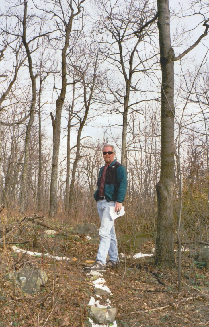
Blue Ridge • Warren Benchmark • Paris Benchmark The highest point of Clarke, Fauquier and Loudoun Counties are located within a few miles of one another along the Blue Ridge, which forms an eastern boundary for Clarke County, and a western boundary for Loudoun and Fauquier Counties. The hiking was short, but the driving took awhile as we had to drive a number of curvy and scenic mountain roads.
Date: November 27, 2003
• Elevation: 1,920 feet
• Prominence: 880 feet
• Distance: 0.3 mile
• Time: 20 minutes
• Gain: 30 feet
• Conditions: Cool and cloudy
Main
•
PB
We left Millwood in the late morning, figuring three hours for this journey. The day was cold and cloudy but calm. From Millwood, we drove US-50 east to near where it tops out at Ashby Gap. Here, we followed Blue Mountain Ridge Road (also known as VA-601) north for 3 miles, bringing us close to two small 1,920-foot contours that straddle the Loudoun-Clarke county line.
A driveway leading to a big home crosses both contours, and we found this driveway, but it was blocked by a big wrought-iron gate and brick fencing. Rather than deal with the gate, we drove an extra 500 feet and parked near a radio tower facility and bushwhacked through the woods to re-gain this driveway.
The first high area was marked by a tree with a big white splotch on it, while the second area was nearer the house itself. We walked to the house and found no one home, although it is clearly inhabited. We tagged rocks around the base of the house and tried to eyeball between the areas with little success (my hunch is the first area is higher). The weather was cool with a brisk wind blowing. We backtracked down VA-601 and back out to US-50.
Date: November 27, 2000
• Elevation: 2,205 feet
• Prominence: 1,265 feet
• Distance: 0.1 mile
• Time: 5 minutes
• Gain: negligible
• Conditions: Cold
PB
From the Loudoun County Highpoint hill, we drove west on US-50 for 3 miles and turned south onto Howellville Road (VA-638), located east of the Shenandoah River. After 6 miles, we drove through the town of Howellville, then stayed left at a junction (still on VA-638) and into the hills. We passed through the community of Blue Mountain, and then emerged onto the crest of the range, a total of 11.2 miles from US-50.
We went right (south) for 0.6 mile and pulled into a small service road on the left, from where it was a short stroll to the high area marking Fauquier County's apex. We found a benchmark (BM Warren) and plastic striping in the area. All this was within a bunch of radio towers. The views weren't very interesting and we only spent a couple minutes here.
Date: November 27, 2000
• Elevation: 1,935 feet
• Prominence: 45 feet
• Distance: 0.2 mile
• Time: 15 minutes
• Gain: 40 feet
• Conditions: Still cold
PB
We backtracked that 0.6 mile, then stayed on the ridge on a rougher dirt road, called Fire Road. The road quality was much poorer, but our Chevy Impala rental handled it well. After 1.4 miles, we came to a track on the right that led to a lookout platform. Near the bend in the access road, we hiked into the woods to place ourselves within a small 1,920-foot contour that juts into Clarke County. It is likely not the county highpoint. We saw deer, and also heard far-off gun shots.
Another 0.2 miles north along the Fire Road brought us to the likeliest highpoint area for Clarke County. This is a distinct hill with a grassy top. The map shows a benchmark "Paris", but all we found was a witness marker in the brush a few feet from the meadow. These three highpoints total took about 2 hours and no more than a few hundred feet of walking.
|


|