The Mountains of Utah
• www.surgent.net
|
| Mine Camp Peak |
• Highpoint: Millard County • Highpoint: Pavant Mountains • Fishlake National Forest |
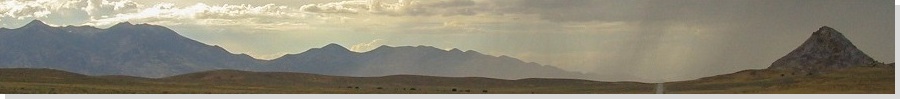
 The peak as seen from US-50
|
Date: June 2, 2002
• Elevation: 10,222 feet
• Prominence: 3,001 feet
• Distance: 1.2 miles
• Time: 1 hour hike, 3 hours drive
• Gain: 600 feet
• Conditions: Rain, mud, some clear skies, smoke from a distant fire
Utah
•
PB
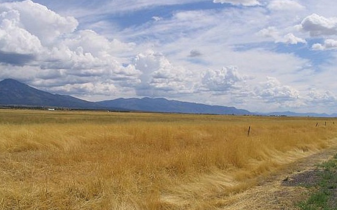
Mine Camp Peak is the range highpoint of the Pavant Mountains in central Utah, and is the highest point of Millard County. For that reason alone I would bother to climb this peak. I was on the end of a multi-day trip through New Mexico, Texas, Oklahoma, Colorado and now Utah. I had climbed Mount Ellen this morning, and had just this one left on my agenda before I headed south to Henderson, Nevada.
I was not interested in the usual hiker's approach, which comes in from the west side. The maps showed a couple road and hike options from the east (from Salina) or the south (from Richfield). Both looked like shorter hikes, assuming I could drive close to the peak.
As I drove west along Interstate-70 and US-50, the weather deteriorated, with long stretches of heavy rain and a low cloud ceiling. Assuming dry conditions, the road approach from Salina should work well. However, when I eased onto this dirt road of the highway, it was wet and muddy. I went in anyway, not expecting any success.
I was able to drive 15 miles into the eastern foothills of the Pavant Range. As I started to gain elevation and encounter steeper grades, the slick mud roads offered little traction. Also, I was now in the clouds, and had about 50 feet of visibility. Finally, I came upon a huge rock lying in the road. It had obviously just fallen from the slope above the road. I immediately backed off and retreated back to US-50.
I tried Plan B, from Richfield. I motored south to the city, pleased to see sunnier skies here. The cloud mass seemed to be moving east, so this bode well. I was seeking the south terminus of the Paiute ATV Trail, and extensive network of narrow roads that span the Pavant Mountains. These roads are open to vehicles too, and from the map, it appeared I might get close to Mine Camp Peak via these roads, although it would be a long drive.
First, I had to find the way in to these roads. It's not signed very well in town, presumably to keep most people away except for those who deliberately want to be here. On Road 300 North in Richfield, I went west under the Interstate and toward a water tank, where the pavement ended. It looked like nothing special, but the road continues up the hills and in time, meets with the Paiute ATV Trail. Mine Camp Peak was nearly 20 miles away.
Here is a summary of what I did, going by mileages: 0.0: Interstate-70 underpass; 0.3: water tank; 1.2: gate; 7.6: junction with ATV trail; 13.7: junction, turned right toward "White Pine Peak"; 15.3: junction, turned left; 17.5: came to a cattle grate, road drops steeply. At this cattle grate, Mine Camp is just across the way, down a saddle and then up to the peak.
The weather had held up. I had mostly sunny conditions as I drove these roads, but they were muddy from the day's rains. There were few ATVers out to annoy me, so I was able to make good time. I had to use 4-wheel drive to ensure decent traction, but there were no steep or eroded sections to stop me. My truck's wheels threw up a lot of mud, covering my truck nearly completely. It looked rad.
After three hours of battling slick roads, fog, falling rocks and mud, I was now close to my objective, and the hike was fast and easy. I dropped about 200 vertical feet to the saddle, then up 400 feet to the summit, in 0.6 mile one way. I was on top in under 30 minutes. The terrain was open, with mint brush on the slopes. I could also smell smoke from a distant burn.
I didn't stay long. I tagged the top rocks then turned around. I was back to the truck in under an hour. I retraced my route back to Richfield, adding more cool mud to my truck. I enjoyed this outing. The hike route, as I mentioned, did not appeal to me, so making this into a "truck-hike" was a nice alternative. The actual walking part was hardly worth mentioning.
|

|