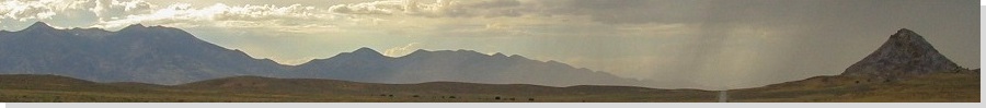
The Mountains of Utah
• www.surgent.net
|
| Andy Nelson Peak & Navajo Cliffs |
• Markagunt Plateau • Highpoint: Kane County • Dixie National Forest |
 Nelson Peak & Navajo Lake
|
Date: September 1, 2001
• Elevation: 10,027 feet (Andy Nelson Peak), 10,080 feet (Navajo Cliffs)
• Prominence: 847 feet (Andy Nelson Peak)
• Distance: 5 miles (sum of both hikes)
• Time: 4 hours
• Gain: 920 feet (Andy Nelson Peak)
• Conditions: Clear
Utah
•
PB (Andy Nelson Peak)
•
PB (CoHP)
I was in southwest Utah over Labor Day weekend, planning to visit three county highpoints. Two would be easy while the third, Delano Peak, would be the big hike for the short trip. From Henderson, Nevada, I drove 200 miles to situate myself in the highlands of southern Utah. First up: the highpoint of Kane County.
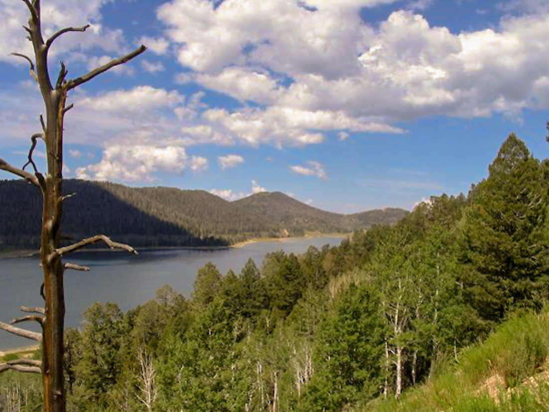
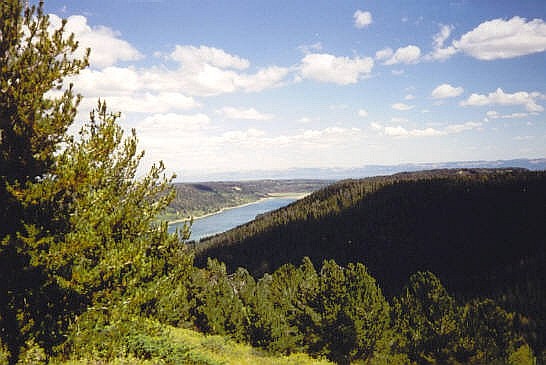
Much of Kane County is beautiful high desert with canyons, mesas and mountains, and is best known as the location of the Grand Staircase National Monument. However, the highest point is not that interesting, a point along cliffs that separate Kane and Iron counties. This point would be sufficient to claim a visit to the Kane County highpoint, but I wanted something more challenging, so I included the county's highest peak, Andy Nelson Peak. Both are near Navajo Lake, a popular boating and fishing location in the west part of the county.
I drove to the end of the Te-Ah Campground, parked and started the hike along the Virgin Rim Trail. The trails are new and well done, popular also with mountain bikers. I went south along the Virgin Rim Trail for 1.5 miles, gaining 400 feet, eventually coming near the saddle separating Navajo Peak and Andy Nelson Peak. When it felt right, I left the trail and charged directly up the steep slopes, gaining another 500 feet in a quarter-mile to top out on Andy Nelson Peak's summit, which was open and treeless. The views were nice, but obscured by the surrounding trees lower down. The better views were on the descent, looking north and east across Navajo Lake and points beyond.
The hike out didn't take long, and the whole journey took two hours, covering four miles. It was only late morning, plenty of time to explore more for the day. Next up, I wanted to visit the official county highpoint, atop the Navajo Cliffs to the north. I drove north along state route UT-14 to the Iron County Line sign, then going west on FR-66 (Deer Valley Road) for two miles to FR-1642. I got in about a half-mile on this bad road before parking.
I walked the remaining three-quarters mile of the road to where it ended in a thicket of low, dense trees. According to the map, I needed to walk a few hundred more feet west to top out on a faint ridge. This I did, doing my best to keep the bearing, but I was forced to dodge brush along the way. I did get to the top of the ridge, not really sure if I was close. Then I found a cairn built by Andy Martin, progenitor of the county-highpoint hobby. If Andy thought this was the highpoint, it must be close, I thought. I wandered some more and kicked, tagged, sat on or sidled next to anything that looked high. At some point I had to call it good, and walked back to the road and to my truck.
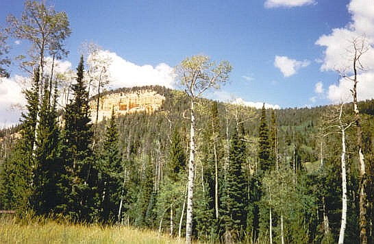
The drive out was uneventful but scenic, and I went another 10 miles up the road to Cedar Breaks National Monument. Cedar Breaks is a set of cliffs with awesome views, similar to the Grand Canyon, though just a fraction of the size. While at Cedar Breaks, I had a good view of my next objective, Brian Head Peak. I would be there shortly.
|
|