The Mountains of Utah
• www.surgent.net
|
| Fishlake Hightop |
• Highpoint: Sevier County • Highpoint: Fish Lake Plateau • Fishlake National Forest |
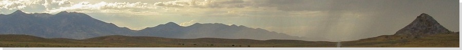
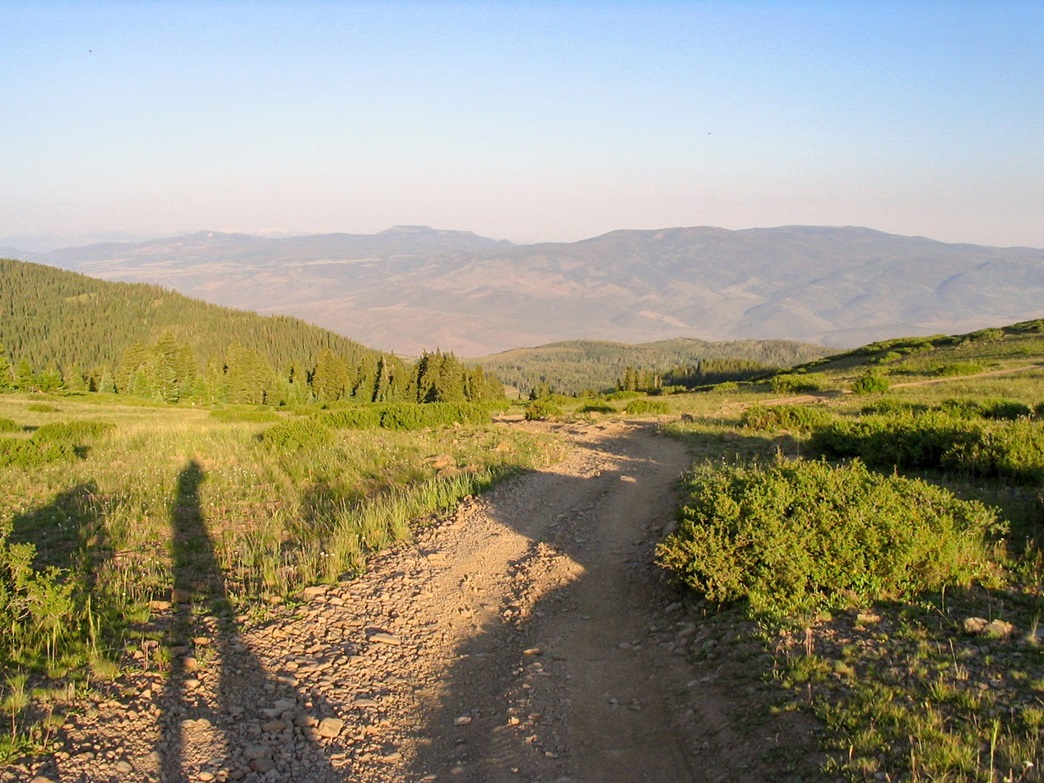
 Fishlake Hightop as seen from Hancock Flat
|
Date: July 16, 2006
• Elevation: 11,633 feet
• Prominence: 4,153 feet
• Distance: 7 miles
• Time: 3 hours
• Gain: 1,200 feet
• Conditions: Awesome
Utah
•
PB
Fishlake Hightop is the highest point in Sevier County, a few miles north of the town of Loa, where I had just been after a successful hike of Bluebell Knoll. I had no more time today to hike, so I used the available daylight finding a place to camp for the night. I found a spot in a grassy clearing off the main mountain road on Fishlake Hightop's southwest slopes. I had the place all by myself.
About 6 p.m., some guy hauling a gigantic trailer rumbled up the road and decided that out of all the other places to choose from for miles around, the spot immediately next to me was where he wanted to camp. So he tries to back the 30-foot trailer into the open area next to me. His wife got out to guide him.
I got out of my truck to watch these two. Not to help, mind you, simply to watch. At one point, he almost backed in his whole apparatus into my truck, missing it by just a few feet. Here, I got animated, you might say. They got a clue and left the area. I had the spot to myself for the night, and slept well under the cool clear skies.
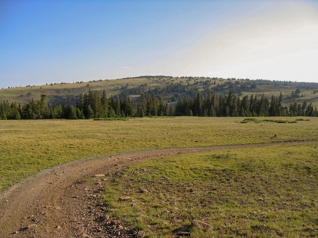
Early the next morning, I got dressed and ate breakfast, then drove up the remaining three miles past Hancock Flat and a few switchbacks to a road junction with the left turn going up the mountain, and straight going to Na Gah Flat. I parked here, at a large clearing that has obviously been used as a campsite before. It was 6 a.m. when I started the hike.
The uphill road (signed to Gashew Spring) goes steeply up the hillside, gaining about 500 feet in half a mile. Parts of it looked good enough to drive, but small segments were torn up, too much for my truck. Once on top the plateau, the summit rose to the north, about three miles away. From here, I had an enjoyable ridge-top hike along the road, with gentle gradients. I enjoyed the early-morning sunlight, clear skies and pleasant temperatures. Not a soul was anywhere. I seemingly had the whole mountain to myself.
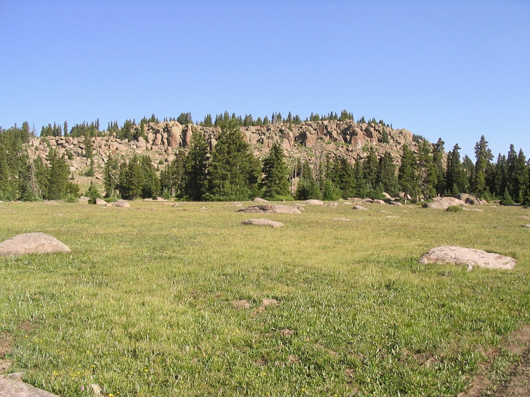
After a brief descent into a saddle, the final mile and a half gains an easy 500 feet and eventually comes astride the summit, which sits atop a long ridge of huge boulders, seemingly placed atop the plateau as its own separate hill. I could not find a trail, but the cross-country seemed simple enough, so at some point I left the road and walked across the grasses and odd rocks to the base of the boulders.
Here, I started looking for a way up, running up dead ends, more often than not getting "brushed out" rather than cliffed out. But gaining the top of the summit ridge wasn't difficult, and once on top, it was just a matter of finding the winning boulder.
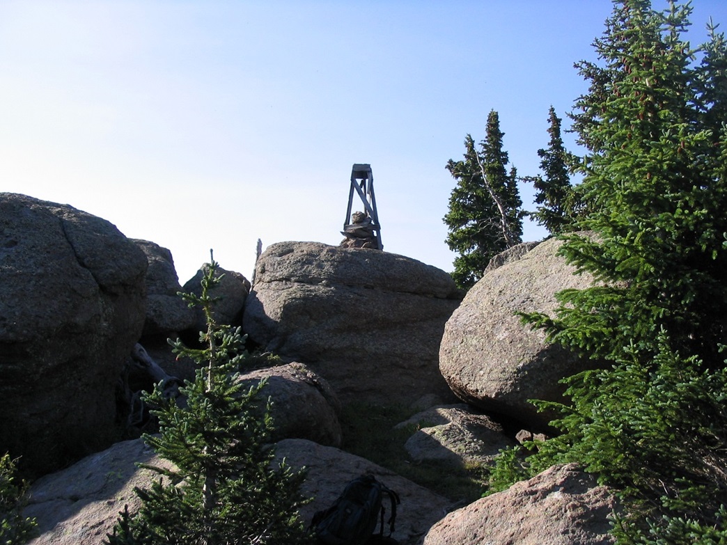
I started clambering up the biggest rocks, only to see larger ones up the way. I'd climb up these, only to see bigger ones just a few feet farther. Finally, I found the highpoint, marked by a large cairn and wooden survey remnants. I gained this boulder and signed in the log, then spent some quiet time enjoying the sights. Yesterday's highpoint, Bluebell Knoll, was "visible" as an indeterminate point on the huge Aquarius Plateau to the southeast. Some peaks (Hilgard one of them) loomed to the immediate northeast, seemingly higher than my position. The map says Fishlake Hightop is higher, though, but not by much.
I began the descent, taking time to work my way off the rocks, then once back on the road, made fast time. Just before the steep descent off the ridge back to my truck, I met with an ATVer, the only other person I saw on the mountain. The descent down the steep section of road was enlivened by amazing mountain and valley views, a melange of long ridges and high 12,000-foot peaks. Mount Nebo stood tall in the far northwestern horizon. I was back to my truck at 9 a.m. Next up: South Tent Mountain.
|

|