The Mountains of Utah
• www.surgent.net
|
| East Mountain |
• Highpoint: Emery County • Wasatch Plateau • Manti-LaSal National Forest |
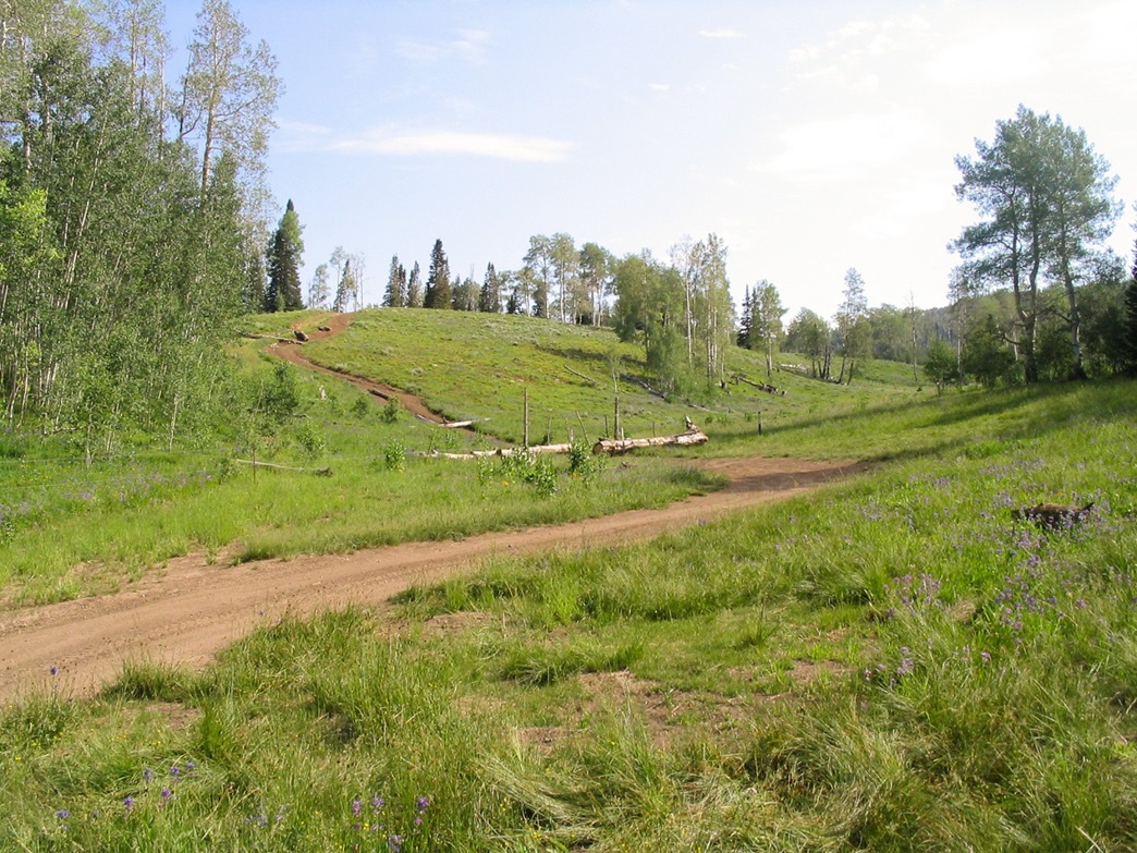 The start of the hike
|
Date: July 17, 2006
• Elevation: 10,743 feet
• Prominence: 1,543 feet
• Distance: 3 miles
• Time: 2.5 hours
• Gain: 1,500 feet
• Conditions: High clouds, heavy pollen
Utah
•
PB
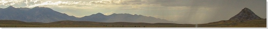
Earlier today, I visited Monument Peak. From there, I proceeded south toward my next objective, East Mountain. I came in from the north and followed a graded hardpack road called Miller Flat Road for 14 miles through high elevation valleys and meadows, and plenty of little lakes and man-made reservoirs. Lots of people camp and fish here.
I came to a junction pointing toward Indian Creek Campground, and went east then north about two miles. I passed a campground on my left and continued up the road. The map and other reports mention the road deteriorates in quality not too long afterwards. Soon, gravel gave way to clay and the usual ruts that are easily etched into the clay. I was able to get past these, and afterwards the road actually improved a little.
The eminent guidebook for Utah's county highpoints, High In Utah suggests to drive this last poor road to a fence and hike directly up the mountain from here. a rough 1,600-foot gain in about a mile through mature forest and dense undergrowth to the top. However, a far better option exists. I was able to drive past the fence to another fence line, with a large downed log laying across it to bar further access. It looks like the log was placed there deliberately.
I parked and started walking up the road, gaining steeply as it bent right and leveled off in grass meadows. The route started gaining steeply again and petered out near a wide spot, where the road ended. I found the trail behind the road and hopped over minor deadfall, and stayed on this trail as it switchbacked once and gained moderately steeply before working its way into a sloping meadow and fiberglass troughs placed there to catch the waters from a seeping spring. I was making good time, but the foliage and grasses were dense, and it was humid, kind of uncomfortable, and very buggy, too. I should have worn pants. My nose wasn't too happy about all the pollen, either. I was slapping, sneezing and scratching as I walked.
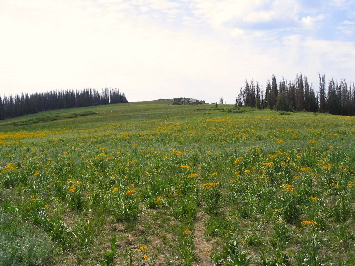
The trail goes straight up the slope into trees after the troughs, and about 200 feet later, splits. This junction is also on the map and easy to find ... once you find it. Erosion and decay has made the trail a little messy and indistinct. The right split bends right, now heading south, and starts up a slope along a forest-meadow margin. This part is a grind, gaining about 700 feet straight up. The wildflowers were gorgeous and everywhere, a sea of yellows and oranges. I figured I sneezed about every 20 seconds, too.
As I progressed up the hill, the trail grew fainter, but by this time the slope had moderated and I could see landmarks up ahead. Finding the summit was very simple. It's a slightly upraised bit of rock and open ground set along East Mountain's west rim. The cliffs were quite impressive, and I could see the roads I had driven coming up.
Although only a half-mile longer than the High in Utah directions, this had the advantage of a trail most of the way up and slightly less gain, plus moderated slopes. The true highpoint seems to be amid a small clump of vegetation about 150 feet southeast of the benchmark, which is easily found on the rocks. I stayed up top a few minutes to rest and take in the views, of the numerous mountains in all directions. It was very lovely.
The hike down went quickly and without event, taking me about 45 minutes as I jog-walked the slopes and trails. This was a nice and quick hike that would have been better with long pants, some deet and a claritin. Even so, I enjoyed it and strongly recommend the trail/road options as opposed to the direct route given in the book.
I spent the rest of the day driving toward Moab, intending to climb Mount Waas. I made it there late in the afternoon and camped at the Miller Basin trailhead, same one I stayed at last year. Whereas last year weather scuttled my bid up Waas, this time I had fine weather, but no luck finding a route up the steep scree from Batchelor Basin. I had to abort my bid, and decided to call it a trip and start heading home. It had been a good three days: five central Utah counties in the books.
|
|