The Mountains of Utah
• www.surgent.net
|
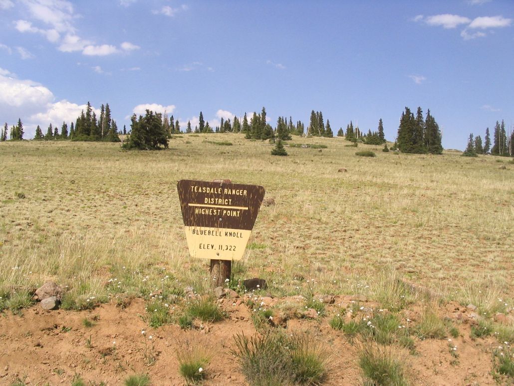
| Bluebell Knoll |
• Boulder Top Mountain • Highpoint: Wayne County • Highpoint: Aquarius Plateau |
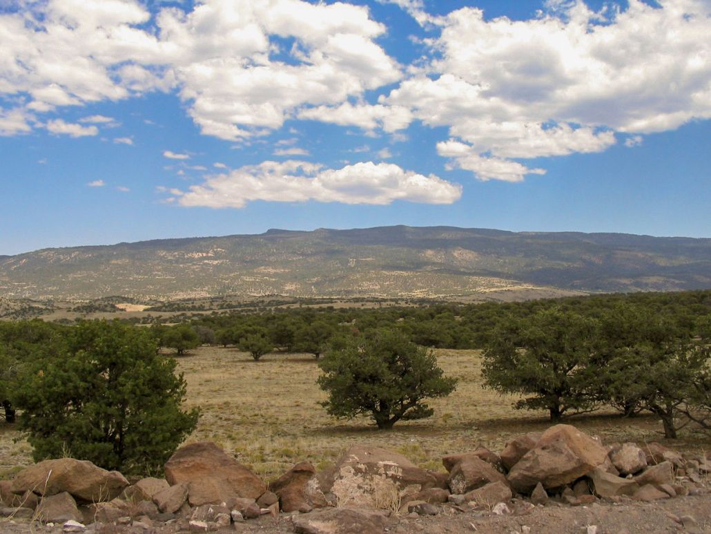 Boulder Top Mountain from the forest road
|
Date: July 15, 2006
• Elevation: 11,328 feet
• Prominence: 2,900 feet
• Distance: 0.5 mile
• Time: 20 minutes hike
• Gain: 150 feet
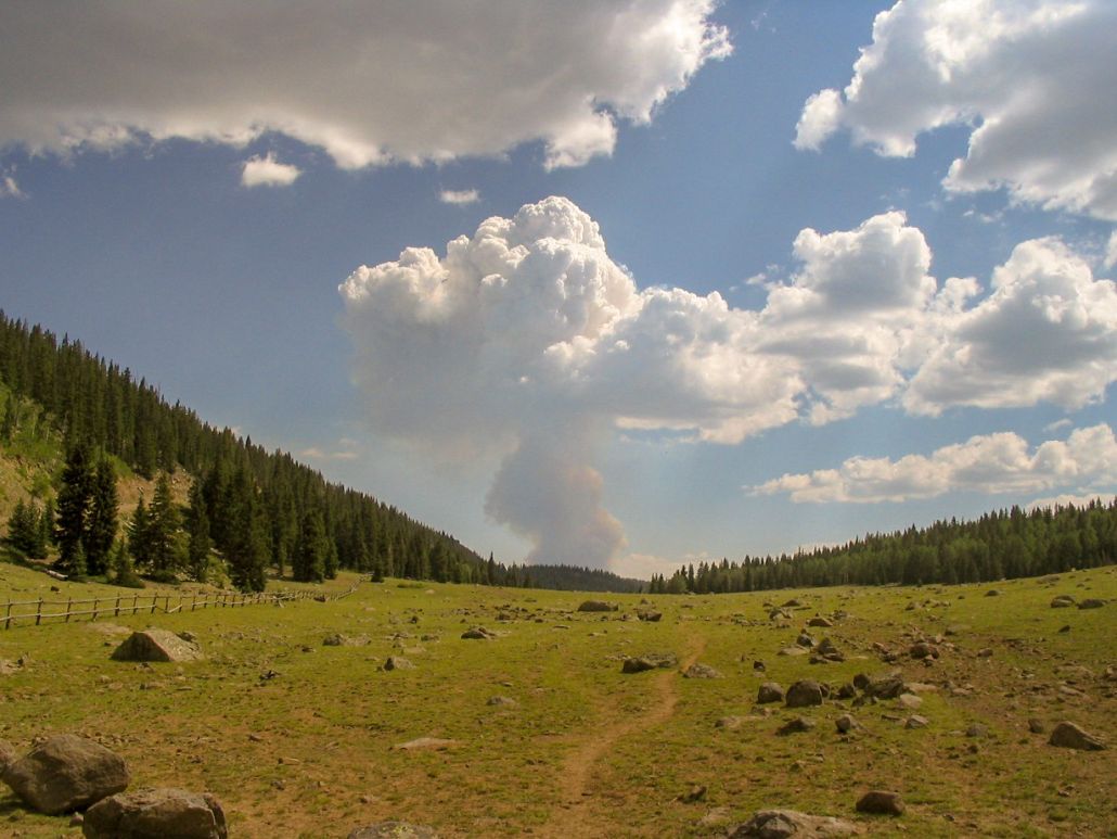
• Conditions: Lovely, but with thunderheads in the distance
Utah
•
PB
Bluebell Knoll is a gentle hill on top of a large plateau called Boulder Top Mountain, in the hinterlands of south-central Utah. It was on my agenda, as the first of a set of county highpoints I planned for a few days. I had a week open to seek out these various peaks, while Beth stayed back at the house in Arizona.
I made the gigantic drive to Boulder Top Mountain in one long push, leaving our house at 4 a.m., in ungodly hot conditions. Our thermometer read 98 degrees, and later, I would learn from βð that the low in Phoenix had been 96, the high 118, setting records for the day, and highest overnight low for all time in Phoenix. I was too happy not to be there.
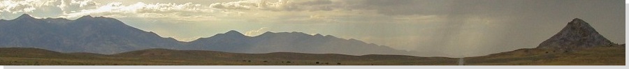
I followed Interstate-17 to Flagstaff, then US-89 to Page, Kanab, Panguitch, Circleville and Koosharem, rolling into the lovely little burg of Loa around 1 p.m.. Wayne County has more scenery per square yard than most places in the world, with Canyonlands and Capitol Reef National Parks within its boundaries, and endless gorgeous high-desert sandstone bluffs and forest everywhere else. Even the ugly parts of Wayne County are stunning. Loa is its county seat.
I drove south out of Loa into the community of Bicknell, then following a series of local paved and BLM dirt roads before meeting up with the Dixie National Forest Road. The roads were gravel and pretty good, except for washboarding. About 20 miles later, the road makes a final steep push up to the plateau's top, then bumps and grinds its way another three miles to Bluebell Knoll. I parked at a junction to the southeast of the knoll.
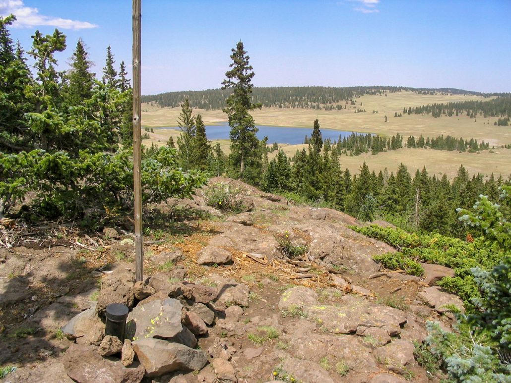
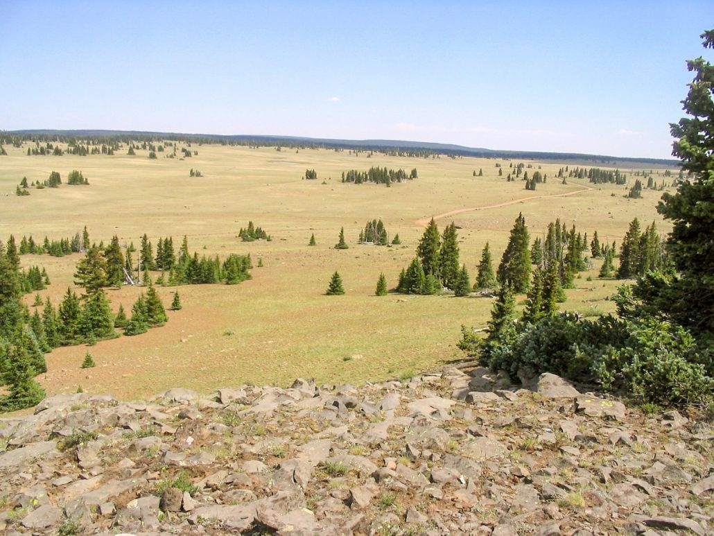
The hike went quickly and easily --- I didn’t even change out of my Teva sandals. In 10 minutes, I walked the quarter-mile and 150 feet of gain to the broad top, where I found a cairn, post and big rock nearby, plus a register. The views were nice, including Raft Lake to the northeast. I spent a few minutes on top, then walked back to my truck, where I brought out the camp chair and had a lunch. I was in no hurry. Soon, though, I got moving.
The drive down went well, and I followed a different road out, directly back to Loa and avoiding Bicknell and some road construction along the way. In Loa, I stopped at the food mart, where my cell phone pooped out on me, and the pay phone was not working either (I wanted to call βð), so the ladies in the market let use the store's phone. That was sweet! So, in return, I'll put in a good word for the Loa Food Mart. Stop in, say hi, and get your supplies there.
|


|