County Highpoints of Texas
www.surgent.net |
|
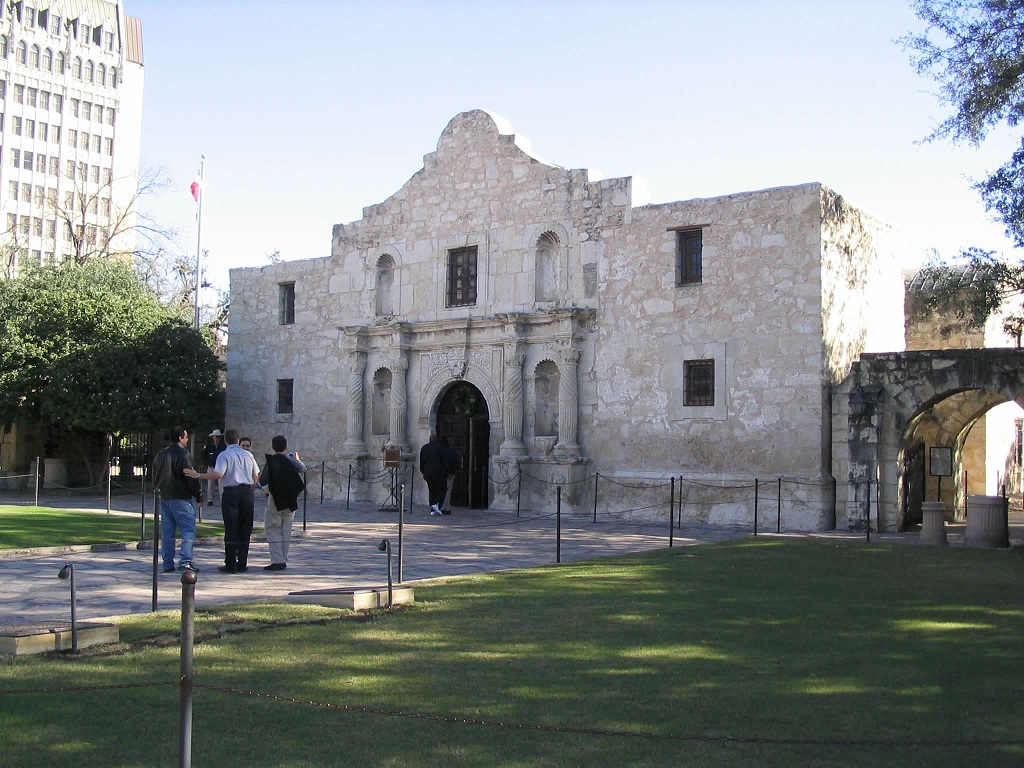
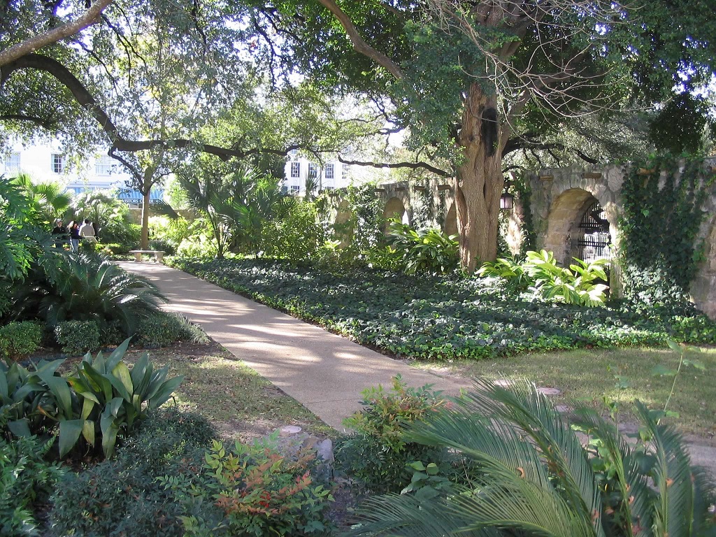
Wharton County HP • Damon Mound We visited these four county highpoints on a vacation to New Orleans over the Christmas Holidays of 2004. The first three are down south near Houston. We visited these on the way to Louisiana. The last one, Cass County, is north by Texarkana and we visited its highpoint on our drive home. We split the drive with nights in Van Horn and San Antonio. I looked at a couple county highpoints around San Antonio but had no luck, but we enjoyed our time in the city, exploring the River Walk and the Alamo.
Date: December 21, 2004 • Elevation: 166 feet • Distance: drive-up • Time: 5 minutes • Gain: none • Conditions: Good
Texas
•
PB
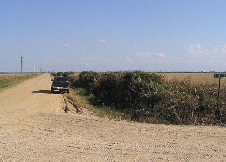
Wharton County's highpoint is located at a T-junction of dirt roads, near the city of Eagle Lake. We went east on Alt-US-90 to the Wharton County Line sign, then right for 2.5 miles to the T-junction. The map shows the region within a 165-foot contour, with the T-junction listed at 166 feet.
The whole area is totally flat, and after a little walking around, we judged that the T-junction had just as good a chance as any other spot as being the highpoint. Yes, it was lame, but it counts, and I felt good about that.
Date: December 21, 2004 • Elevation: 146 feet • Prominence: 80 feet • Distance: 0.1 mile • Time: 30 minutes • Gain: 5 feet • Conditions: Drizzly
PB
We traveled south into Brazoria County. Being so close to the Gulf of Mexico, the elevations here were just in the tens of feet. However, Brazoria County's highpoint is a salt dome called Damon Mound. The hill rises about 70 feet above the flat countryside, covered in homes, fields and brambles.
We followed state route TX-36 into the community of Damon, which sits atop the mound. We decided to tackle this one head-on, by approaching the landowner whose home (trailer) sits closest to the highpoint.
I had to work up more courage than usual as I approached the front door. It wasn't a messy place, but it was kind of run down. A couple dogs frolicked in the yard. I knocked on the door and hoped this would go well.
A young woman answered the door. I stated my name and objective and sought her permission. She said to wait for a moment, and she went back in. I could hear some crashing and banging, and moments later, a gentleman rolled to the door in his wheelchair. I repeated my name and objective, working in the fact that we were visiting family over the Christmas holidays.
We chatted for a few moments. He was naturally skeptical of me at first, but warmed up fast. He was very nice and gave us permission to tromp over on his local hill. He was all smiles and as kind a person as could be.
The actual "hike" took but a few moments, walking from our truck to a small mound behind sheds and other piles of stuff. And that was all was to it. This had gone very well, much moreso than I had expected. It's nice to know there are still a lot of really good people out there. My sincerest thanks to the landowner for allowing us passage. This is why this hobby can be so fun: the highpoints may be nothing much to look at, but the people can be really cool.
From here we continued east into the Houston area. There were no more highpoints for today. The weather had deteriorated into heavy rains that evening and night, setting the stage for tomorrow's batch of highpoints, starting with Hardin County.
Date: December 22, 2004 • Elevation: 170 feet • Distance: negligible • Time: 10 minutes • Gain: negligible • Conditions: Heavy rain and mud
PB
We awoke today to heavy rain, starting our drive from Baytown. The plan was to get ourselves to Lafayette, Louisiana, with a few county (and parish) highpoints along the way to break up the drive. The heavy rain kiboshed a bunch of possibilities immediately since we didn't want to deal with muddy roads. I drove by the Chambers County highpoint, but seeing it was behind big oil refinery fencing, passed on by without stopping.
We continued north and east along highways US-190 and FM-787 to a small town called Marvels, then from there into the thicket forest near the "Big Thicket" retreat and what is supposed to be a town called Fuqua. All we saw was a series of dirt roads bladed into the forest. Presumably, one could buy plots of land and do whatever they wanted to do. Some built nice big homes, some had small trailers towed on, some were just piled high in trash, and some were vacant.
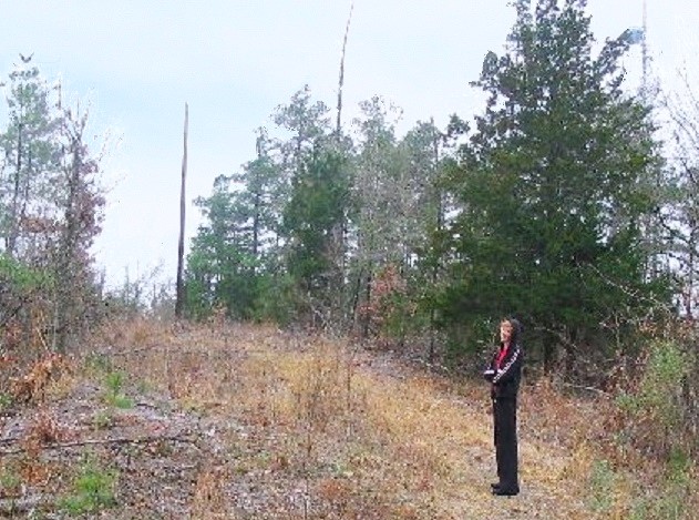
The Hardin County highpoint is just a small bump along the Liberty County line, which runs in a diagonal through the townsite. We followed Bill Jacobs' directions, which were very good, and we found the presumed highpoint location in no time.
The highpoint is a tiny hump of land fronted by two side roads and covered in a thicket of dog-hair trees and vines. The rain started to fall heavier and we made two or three very brief, very wet and scratchy headlong rushes into the trees to get within the highpoint contour. This we felt was sufficient, and the wet weather was not motivating us to stick around longer. Also, the whole area was really creepy and we were just glad to get moving.
We continued from here into Louisiana, where we spent Christmas, got snowed on, visited plantations, petted kitties and had a merry old time. After nearly a week, we re-entered Texas and took care of one more highpoint before the long drive home.
Date: December 29, 2004 • Elevation: 632 feet • Prominence: 307 feet • Distance: 0.3 miles • Time: 30 minutes • Gain: 10 feet • Conditions: Overcast and cold
PB
We started today at Lake Claiborne State Park in Louisiana, where we spent the night camping. The plan today was to pile on a whole bunch of miles westward, with a vague plan to be on the west side of Dallas-Fort Worth by day's end. I hoped to make short detours along the way to bag a few more highpoints.
I looked at two in Lousiana: Bossier and Caddo Parishes, the two most northwestern parishes in the state. I skipped over Bossier Parish due to the high number of hunters we came upon while driving in the area. In Caddo Parish, I hiked toward Myra Mountain but turned around when I came to a residence that I just didn't feel like approaching. Back on the road, we stopped at the Louisiana-Texas-Arkansas state tricorner. We took a few minutes to amuse ourselves by having body parts in three states at once.
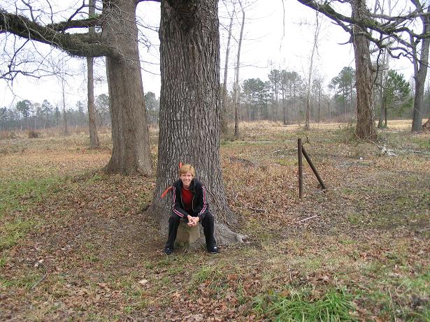
We had good luck with the Cass County highpoint, located on the county's west side in the Cusseta Mountains about 7 miles west of Douglassville. We found the local county roads easy to find but bumpy to follow. The top of the range features communications towers so a decent dirt road goes all the way up.
We drove up, parked and went into the brush and trees to seek out the actual highest point. We found a few candidate areas and called it good after a few minutes. The weather was cool and breezy. The whole journey took about 45 minutes and given what we needed to, we didn't stay long. The rest of the day was spent getting as far west as Mineral Wells, where we stayed the night.
|

|