The County Highpoints of Texas
www.surgent.net |
| Stepp Mountain |
• Highpoint: Mitchell County |
 Stepp Mountain
|
Date: March 19, 2003
• Elevation: 2,574 feet
• Prominence: 109 feet
• Distance: 2 miles
• Time: 1 hour
• Gain: 220 feet
• Conditions: Sunny, high clouds, some wind
Texas
•
PB
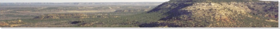
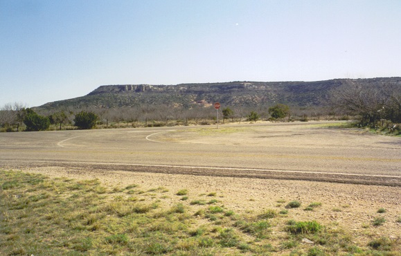
Stepp Mountain is a part of an extensive complex of mesas that extend into neighboring Nolan and Coke Counties south of Colorado City. These are mesas in the truest sense: the tops are flat, and the summits thereon are difficult to locate exactly.
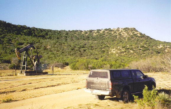
I drove state route TX-208 south to the town of Silver, then a dirt road across the way from FM-1672. I followed this dirt road north a mile, then east a mile, then a road south, all on the McCabe Oil Field. However, the roads were open for travel and there were no prohibitive signs.
At this last road heading south, I came to a crumple gate, signed as "Shenandoah Petroleum Corporation, Walker". I drove south, then parked out of sight near an oil pump in a cleared area. I was north of Stepp Mountain.
I started walking uphill, and quickly, the gradients became steep and rubbly. In a matter of minutes, I was below the caprock that lines the top of the mesa, forming a wall around the entire perimeter. The brush was thick, and I found myself on all fours to get through the thickest sections, all the while eyeballing some way up the caprock.
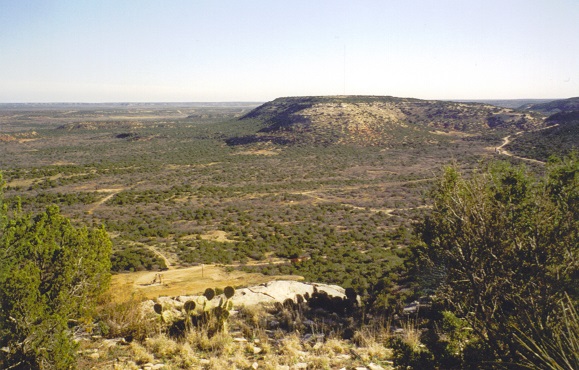
I was able to find cracks and weaknesses in the caprock that allowed for reasonably safe passage to the top. Once on top, I walked south through the flat terrain, the brush and trees limiting views to a few dozen yards at best.
Off in the distance, I saw a post of some sort, so I hiked to it. It was a 4x4 wood slab, held up by guy wiring. Suspecting it was placed here by the surveyors, I searched the area for the benchmark, and after brushing away dirt and leaves off a rock, found the lovely little disk, stamped "Stapp" for some reason.
Is the disk the highest point? I cannot say so definitively, but it was a tangible thing to tag. On the walk out, I meandered and deliberately sought out any heap, mound, hump, hummock or rockpile that might be a contending highpoint. In the process, I felt I gave the area good coverage.
Back to the caprock, I found a way down and into the brushy, steep slopes, then back to my truck. I was gone an hour total. Done with my trip, I began the long drive home. I spent the rest of today driving, getting as far as Lordsburg, New Mexico. A storm was coming in from the west and conditions deteriorated as I drove. I arrived back home the following day.
|
|