The Mountains of West Texas
www.surgent.net |
| Guadalupe Peak |
• Highpoint: State of Texas • Highpoint: Guadalupe Mountains • Highpoint: Culberson County • Highpoint: Guadalupe Mountains National Park |
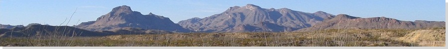
 View of Guadalupe Peak...
|
Date: July 23, 1993
• Elevation: 8,749 feet
• Prominence: 3,029 feet
• Distance: 9 miles
• Time: 5 hours
• Gain: 2,800 feet
• Conditions: Hot but with fantastic scenery
Texas
•
PB
Guadalupe Peak is the highest peak in Texas. It was by happenstance that I climbed it, as I had no inkling of this fact until I actually showed up one July evening in 1993. I was on a driving tour from Arizona that would take me through New Mexico, Texas, Oklahoma, Colorado and back to Arizona.
The ostensible reason for this drive was to revisit the old places where I lived as a small boy, when my dad was in the army and being stationed in a new place every year or so. One such place was Fort Bliss, near El Paso. I don't remember it originally, as I was a little baby back then. But I wanted to go back anyway. In truth, I just like to drive and other than spend a few minutes looking at an old house of which I have no memories, I enjoyed the wandering driving.
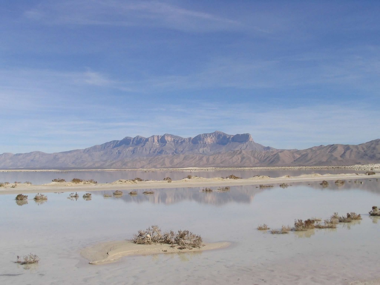
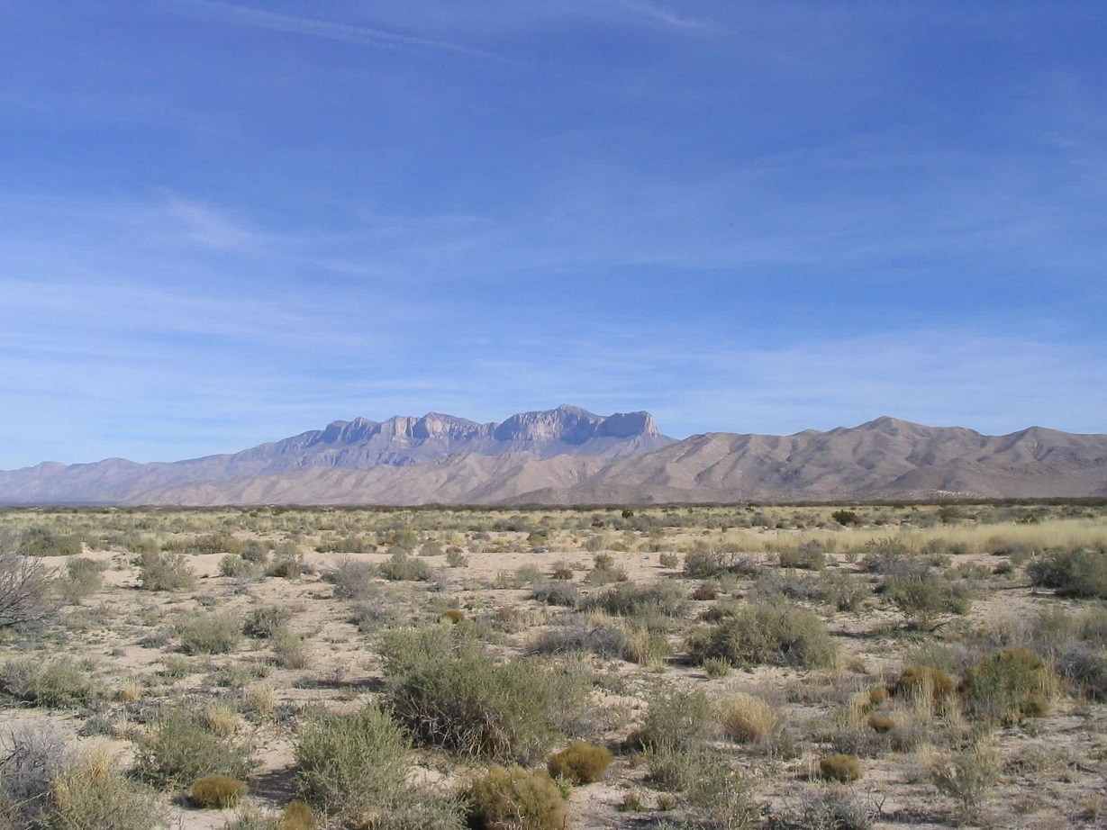
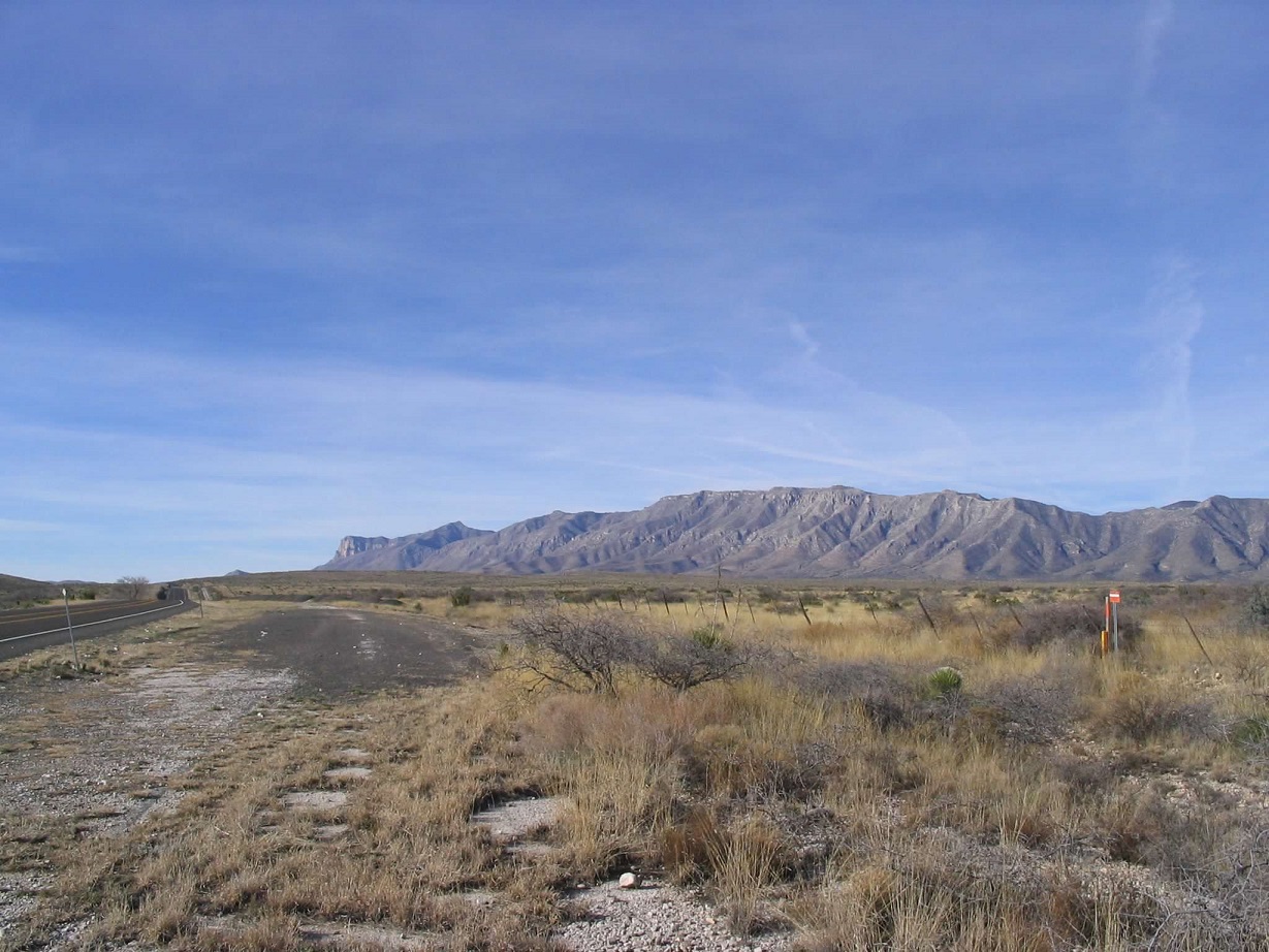
That's what got me to El Paso. Next on the agenda was Fort Sill in Oklahoma, where I was born. So I started heading that way, no real plan in mind. I followed US-180 eastbound toward two National Parks, Guadalupe Mountains and Carlsbad Caverns. Guadalupe Mountains came first, so I pulled in to the campground, scored the last spot and set myself up for the night. Reading a kiosk nearby, I learned that Guadalupe Mountain was the highest peak in Texas. On the spot, I decided to hike the peak, first thing next morning.
The weather here, and all over the Southwest, had been very hot, no surprise given the time of the year. As a result, I began my hike as early as possible, on the trail as the sun was barely breaching the east horizon. At this early hour (before 5 a.m.), the conditions were pleasant, temperatures in the 60s. The sky was clear and there was no breeze. I was the only one hiking, and I made decent time, seeing a number of deer along the way.
I kept to the trail as it gained higher, entering into the heart of the range up a broad drainage, in one place a small bridge was placed spanning a big cleft in the rocks. Past that, the trail becomes more "stair-steppy" as it scales the limestone rock, fractured over the eons into block-shaped slabs. And soon, I was on the summit, its topped marked by a triangular obelisk. I was the first one here today, not having seen a soul all day. It had taken me about two and a half hours. Up this high, conditions were mild and comfortable.
The views were amazing. To the south was the iconic El Capitan promontory, and in all directions was wide-open West Texas desert. I had excellent conditions all the way up, but now, with the sun rising higher, I could sense today would be just as hot as yesterday. I didn't linger long, and started down after about 10 minutes.
The hike down went well. By now, a few more people were hiking upwards. One lovely woman was wearing just the scantest of bikinis, along with her beefy hiking boots. The excellent trail helped expedite travel, and I was back down before 9 a.m. I drove to the Visitor's Center to look at the displays and to cool off. Even at 9 a.m., temperatures were inching close to 90 degrees F. I soon hit the road.
I took backroads through the outpost towns of Orla, Mentone and Kermit, then dodged monster thunderstorms as I headed to Abilene, where I stayed the night in a hotel. The next day, I visited Fort Sill in Oklahoma. The rest of my trip was eventful, with forays into Kansas, Colorado and New Mexico again.
At this point in history, I was vaguely aware of the idea of hiking to the highest points within a state. I had hiked California's Mount Whitney last year, and a few weeks ago had attempted Arizona's Humphreys Peak (I failed due to white out on the top-most ridge). So I had some sense of this hobby, but it was not something I thought about often and had not studied the highest points of other states before this trip. It was only through dumb luck I happened upon Guadalupe Peak, but once I hiked it, I was hooked.
I even scouted the highpoint of Oklahoma, gleaning this information from my Rand McNally Atlas. I drove by, but did not know where to park or where to hike. I would come back a couple years later to hike it, by now hopelessly addicted to this stupid hobby.
|

|