Ohio
www.surgent.net |
| High Hill |
• Highpoint: Muskingum County • Meigs Township • High Hill Community |
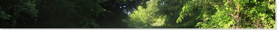
 High Hill from the road
|
Date: June 30, 2020 • Elevation: 1,285 feet • Prominence: 337 feet • Distance: 0.1 mile • Time: 10 minutes • Gain: 40 feet • Conditions: Sunny, clear
Main
•
PB
βð and I were finishing the second day of our cross-country drive. Yesterday, we left Frederick, Maryland and proceeded west on Interstate-70 for a couple hours to Somerset, Pennsylvania, where we stayed the night. Seeing that we were very close to the Flight 93 Memorial, we took a couple hours this morning to visit the site and pay homage to the passengers and crew who took down the highjackers and the plane headed to the White House on September 11, 2001.
We did not drive very far again, stopping for the night in Zanesville, Ohio, about 200 miles from Somerset. For this journey, we agreed to a five hour daily driving limit, which meant a maximum of about 250 miles per day. We had the time to take the journey slowly and saw no point in burdening ourselves with 12-hour daily driving marathons. We were in Zanesville about 4 p.m., the day warm and sunny but calm with low humidity.
I had researched a few county highpoints along Interstate-70 beforehand with two basic rules: they had to be close to the highway and preferably a single area. I had no interest (or time) to tag multiple areas in someone's farm field. High Hill, southeast of Zanesville, fit the bill, being an actual hill with good road access. It was fortuitous we stopped in Zanesville, because otherwise I would not have bothered with this hilltop.
We got ourselves situated in the hotel room and had a dinner. At 7:45 p.m., there was still ample light in the sky, so I asked if I could run out and tag this highpoint, to which βð agreed. From our hotel, I went south on Underwood Road less than a mile to a big church on Marrieta, then left to catch state route OH-146, passing through a low-rent area, then opening up into the rich part of town, with big mansions and grassy horse farms. I drove about ten miles to the town of Chandlersville, turning onto southbound OH-284. About five miles later, I was in the High Hill area. The drive was beautiful, with farms, horse properties, grassy fields, cattle, barns, and woods.
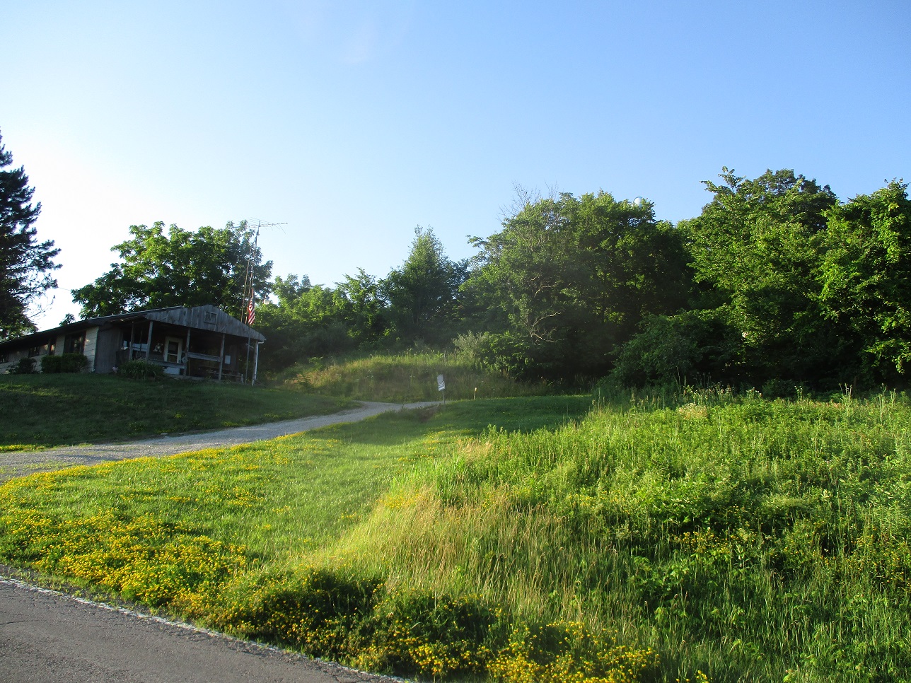
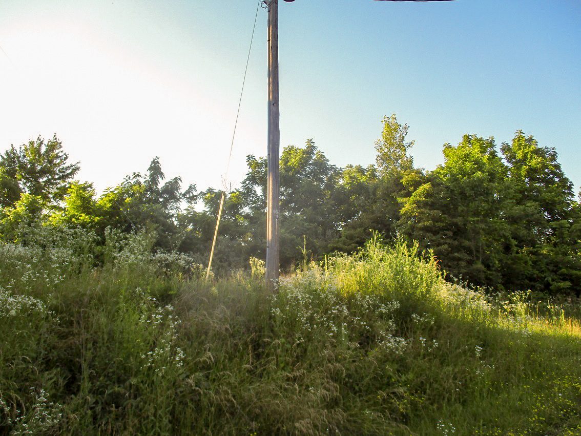
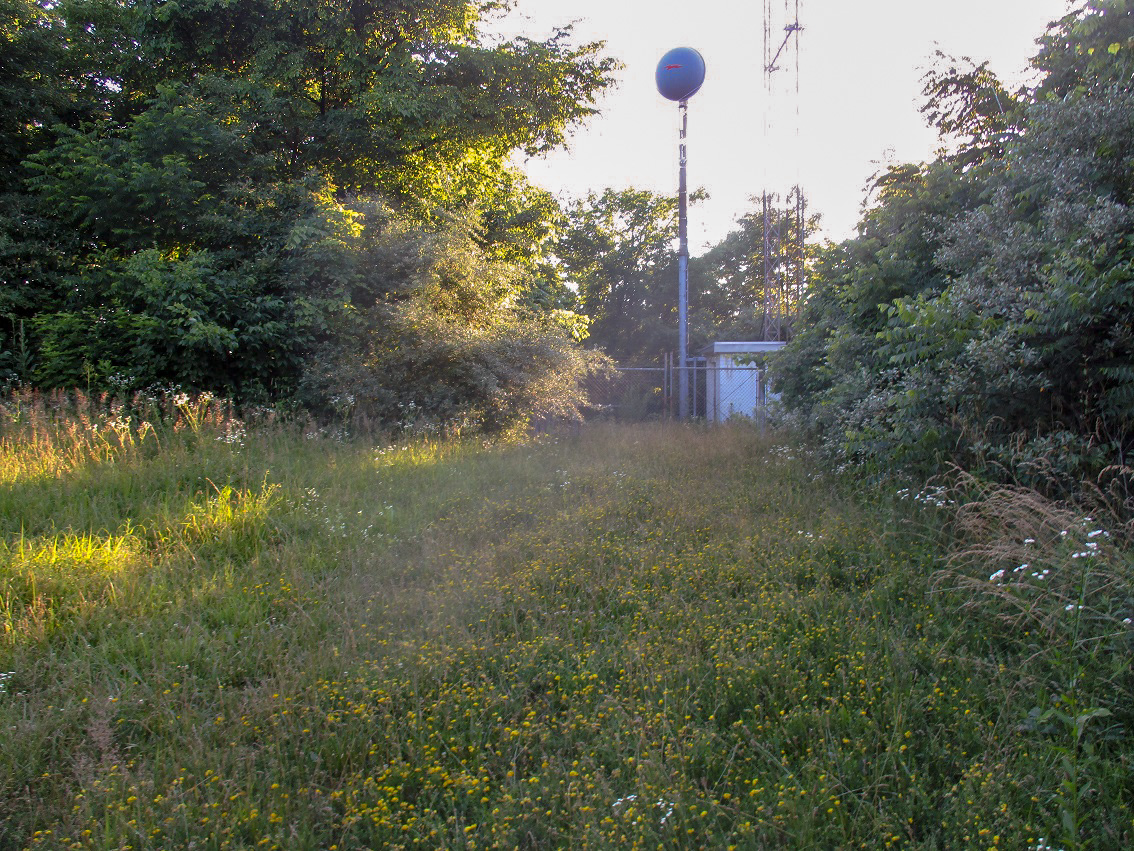
I parked below the gravel road that leads to the top. There is an old home here. It looked unoccupied but kept up, with firewood cut and stacked. But there were no cars or hints anyone was actually here. On the other side of the gravel road is a garage that is one strong storm from collapsing completely. In my sandals, I jogged up the gravel road. It bends left into a grass clearing big enough for a vehicle. The radio towers were at one end, while the highest ground (to me) was at the bend, with a wooden telephone pole atop it. I did not stay long, just tagged a few spots then hustled back down. It was 8:20 p.m., probably the latest I've ever visited a highpoint.
I drove back the same way, arriving back at the hotel a little before 9 p.m., the sun still setting. I would not get dark for another hour. I was happy to have the chance to visit this highpoint. The drive there was pretty and scenic the whole way. Just beware, the roads are narrow and curvy with no guardrails.
The next day, we would drive the rest of Ohio and most of Indiana, passing through Columbus and Indianapolis, ending the day in Terre Haute, Indiana. Along the way, I visited Hoosier Hill, Indiana's state highpoint, my second visit here and first in 22 years.
|


|