The Mountains of New Mexico
www.surgent.net |
| Mount Withington & The Very Large Array |
• San Mateo Mountains • Cibola National Forest • Socorro County |
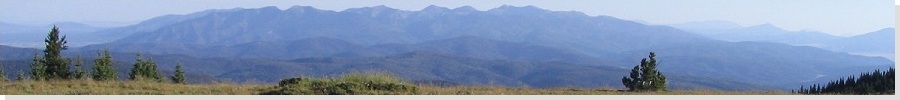
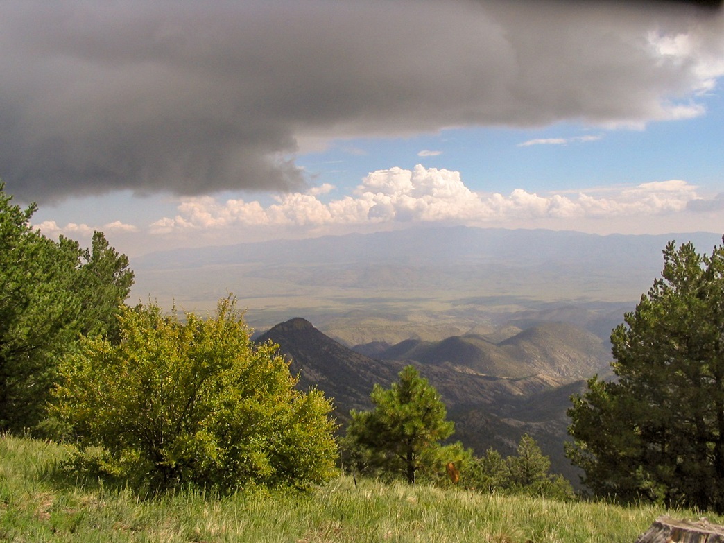
 Distant view of the range
|
Date: September 5, 2005
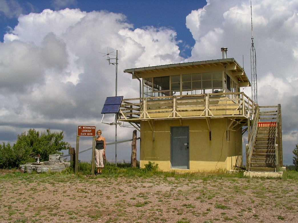
• Elevation: 10,115 feet
• Prominence: 2,315 feet
• Distance: 0.2 mile hike
• Time: 3 hours total, 5 minutes for hike
• Gain: 30 feet (hike)
• Conditions: Storms a-building!
New Mexico
•
PB
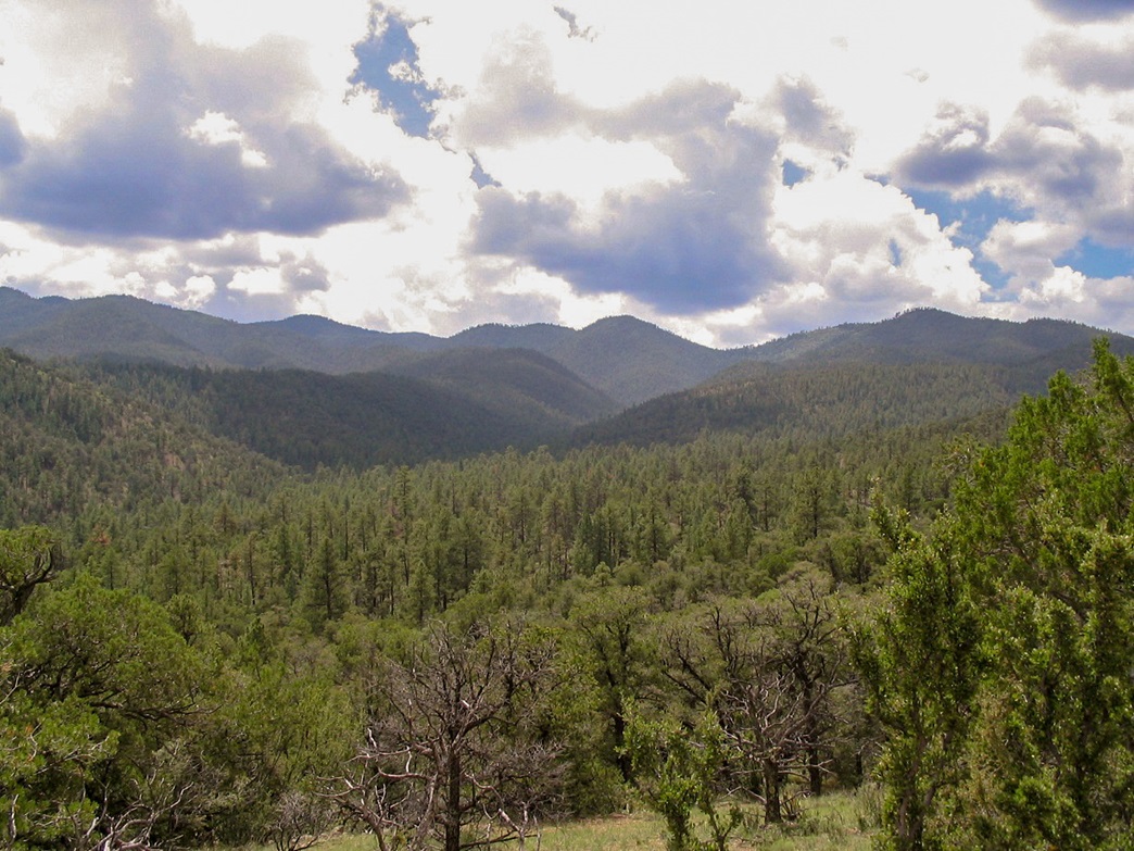
Mount Withington is the highest point of the South San Mateo Mountains of southern Socorro County, not too far from the Very Large Array telescope complex, but far from any towns of any size. The remoteness of this peak means it sees few visitors despite the fact it has good road access to the top, and good hiking trails in the region.
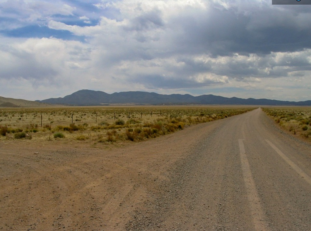
We were passing through from Datil, the plan being to camp in the forest near Mount Withington, and hike it the next morning. However, rains had made the approach roads into the range slick and muddy. We drove a few miles but it was clear we'd get stuck, so we backtracked into Magdalena, got a room, and decided to try again the next day (being today).
We were happy to see the roads had dried enough to allow us passage. But the clouds were building again and looking threatening. We hoped to park early and make a short hike of the peak, but opted to drive all the way to the top due to the potential for storms. Our visit to the summit was short, enough to snap a few photos, but not much else. Then we headed down, and the rain soon followed. Once back onto the flats below the mountains, we pulled onto a side road for an extended stop and picnic. This was the highlight of this "hike".
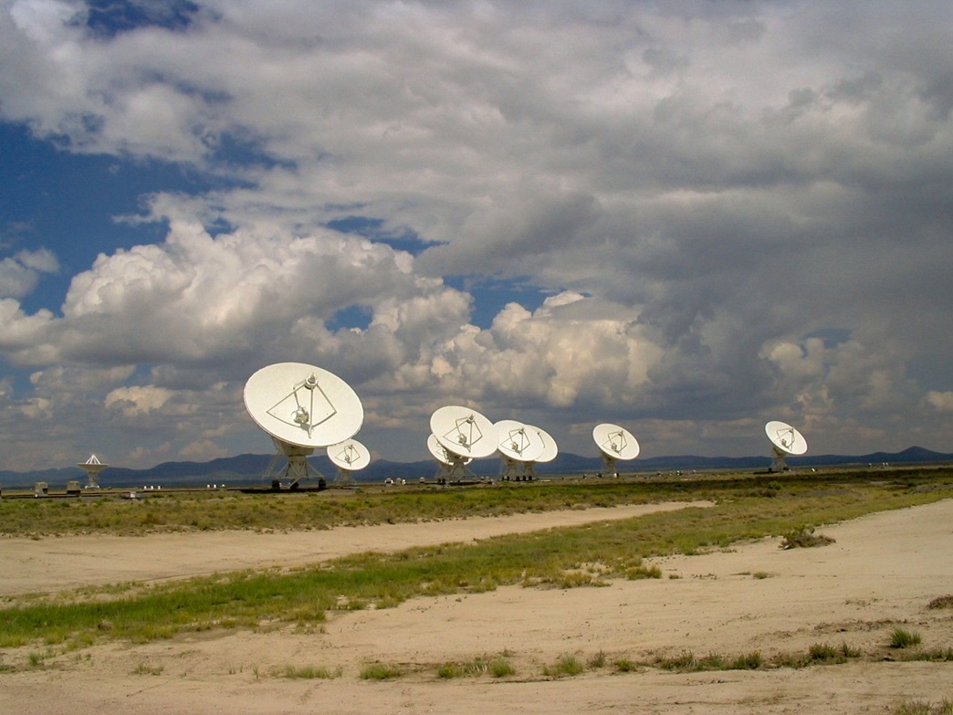
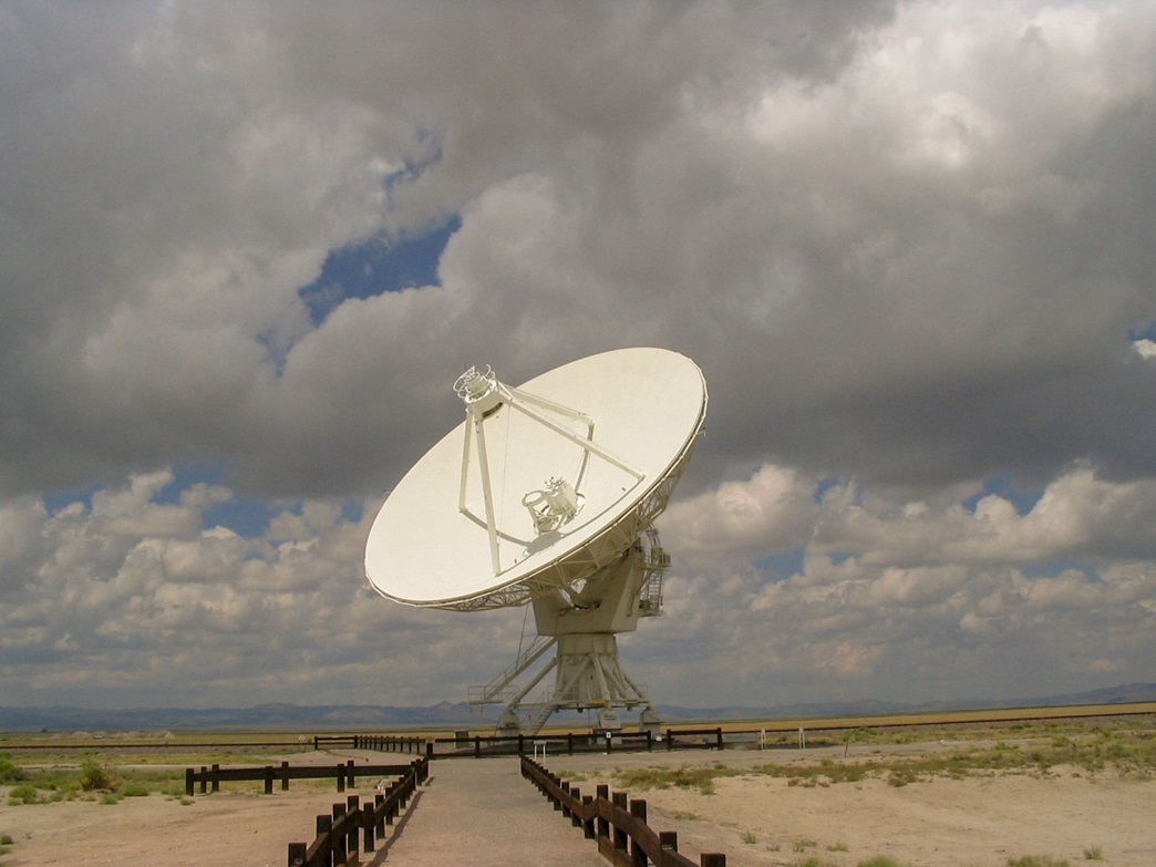
We were close to the Very Large Array, located in the Plain of San Augustin along US-60. The VLA is an array of massive radio telescopes that can be spread around to act as one super-massive telescope, depending on how far out into space they want to study. The public is welcome to walk around, but there is not much here designed for tourists.
We walked to one big telescope to stare at it. The next one was probably a mile away. We were content to look at this particular one, figuring the rest all look similar. There is also a stupendously humongous "hangar" that is big enough to wheel these big scopes into when they need some work. The scale is quite impressive.
We also walked around the main buildings where all the scientists and technicians work. We peeked in and a few were at their desks. There are some signs and dioramas in the area for tourists to read. The VLA has also been in movies, such as 2010 (the sequel to 2001) and Contact.
In May 2006, we came back to Mount Withington, but this time rain wasn't the issue: the lack of it was. The forests were closed due to the extreme fire danger, so all recreational activity was banned. We had no choice but to move on.
|
|