The Mountains of New Mexico
www.surgent.net |
|
Table Mountain • Gage No. 2 Benchmark I was in New Mexico for the week, the last couple of days in Silver City. Today I would be driving back to Bisbee, and wanted a couple hikes to break up the drive. The weather this week was cold and brisk, with three storms passing through all dropping a few inches of snow. A week ago, on my drive in from Bisbee, I hit some snow in Lordsburg. Then there were a few days of cool and clear conditions. Three nights ago, a new front passed through and then another one two nights ago. Yesterday was cold and cloudy, highs never getting out of the 30s. The snow that had fallen lingered for most of the day, only melting toward the evening. Today started out bright and sunny, like the storms never existed. Not a cloud in the sky. But it was very cold, in the 20s. I big goodbye to this lady I met on the internet and thanked her for her hospitality, then spent about ten minutes scraping ice off my windows and letting the defroster warm things up. The expected highs in the region were to be in the 50s and low 60s. I had one main peak in mind, Table Mountain in the City of Rocks State Park. I had a couple others as backups, mainly easy ones near the highways I would be taking back home. I was on the road about 8:15 a.m. local time (7:15 a.m. Scott's car's time).
Date: March 16, 2025
• Elevation: 5,806 feet
• Prominence: 367 feet
• Distance: 4.9 miles
• Time: 2 hours
• Gain: 560 feet
• Conditions: Cold at first, slightly warmer later, bright blue skies
New Mexico
•
Main
•
PB
•
LoJ
From Silver City, I followed US-180 east and southeast toward Deming, then turning north onto state route NM-61 a couple miles to the City of Rocks State Park road. I paid my $5 day use fee, then drove the roads to the far north end of the grounds, parking in a small lot set aside for day hikers.
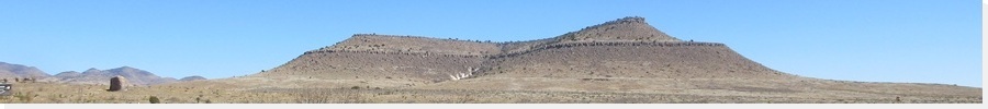
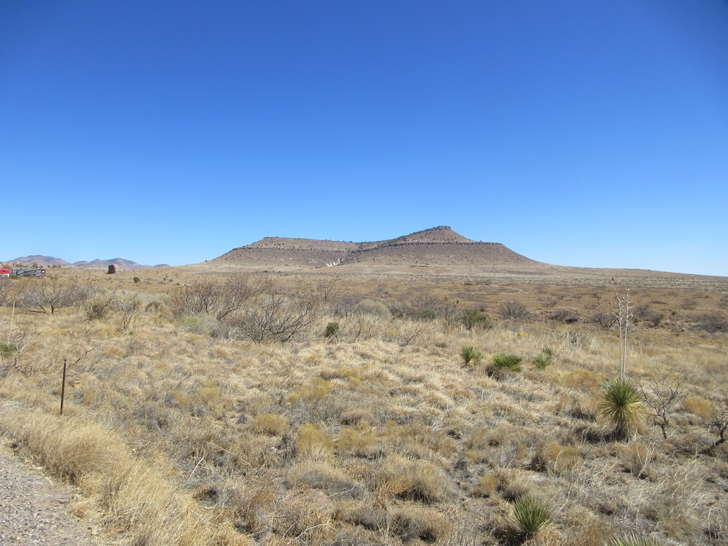
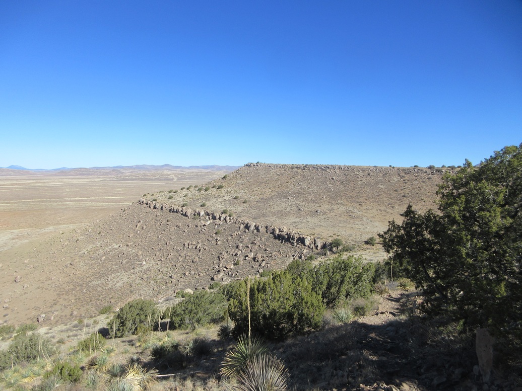
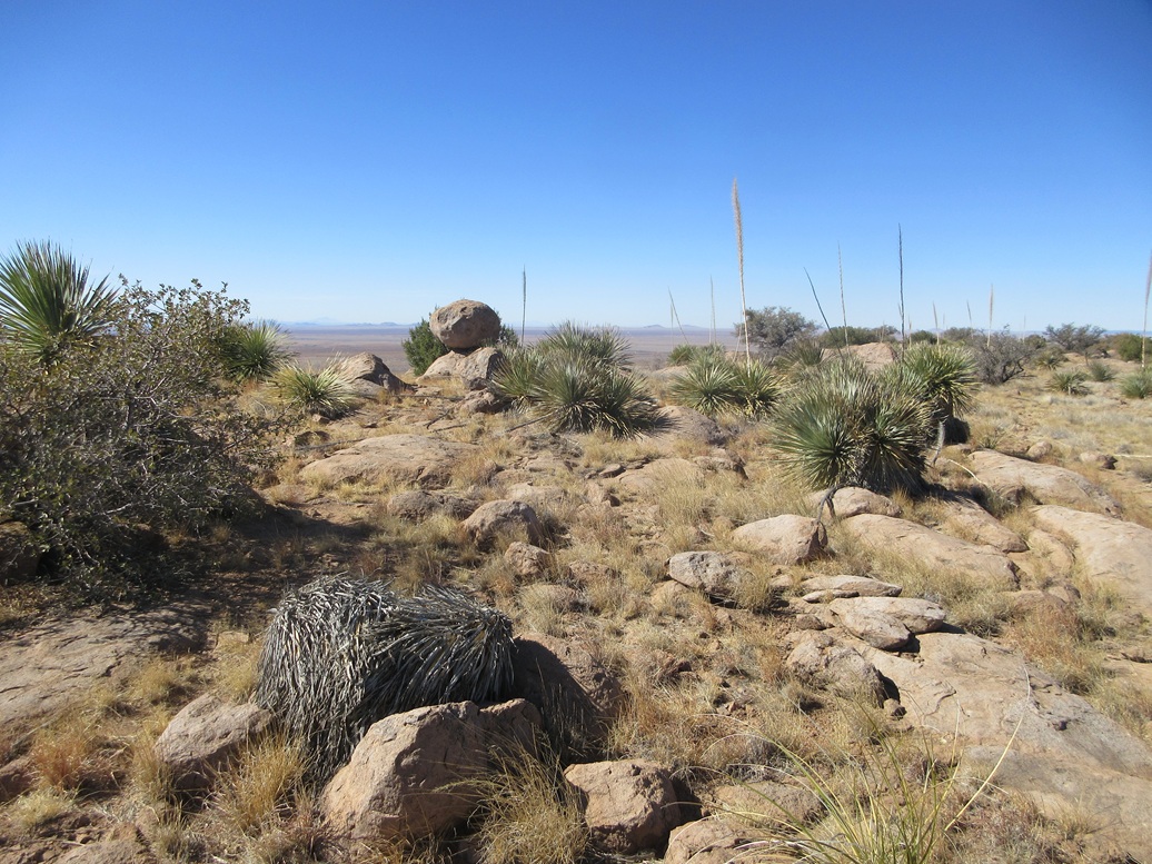
Table Mountain rises to the northeast, about a mile away, a mesa with a flat top, a couple of layers of bluffy cliffs, and slopes of grass and scattered trees. The Hydra and Table Mountain Trails start here. The Hydra encircles the park itself, while the Table Mountain trail goes to the peak; specifically, it's southern tip called Observation Point. The highpoint is on the northern tip of the mesa.
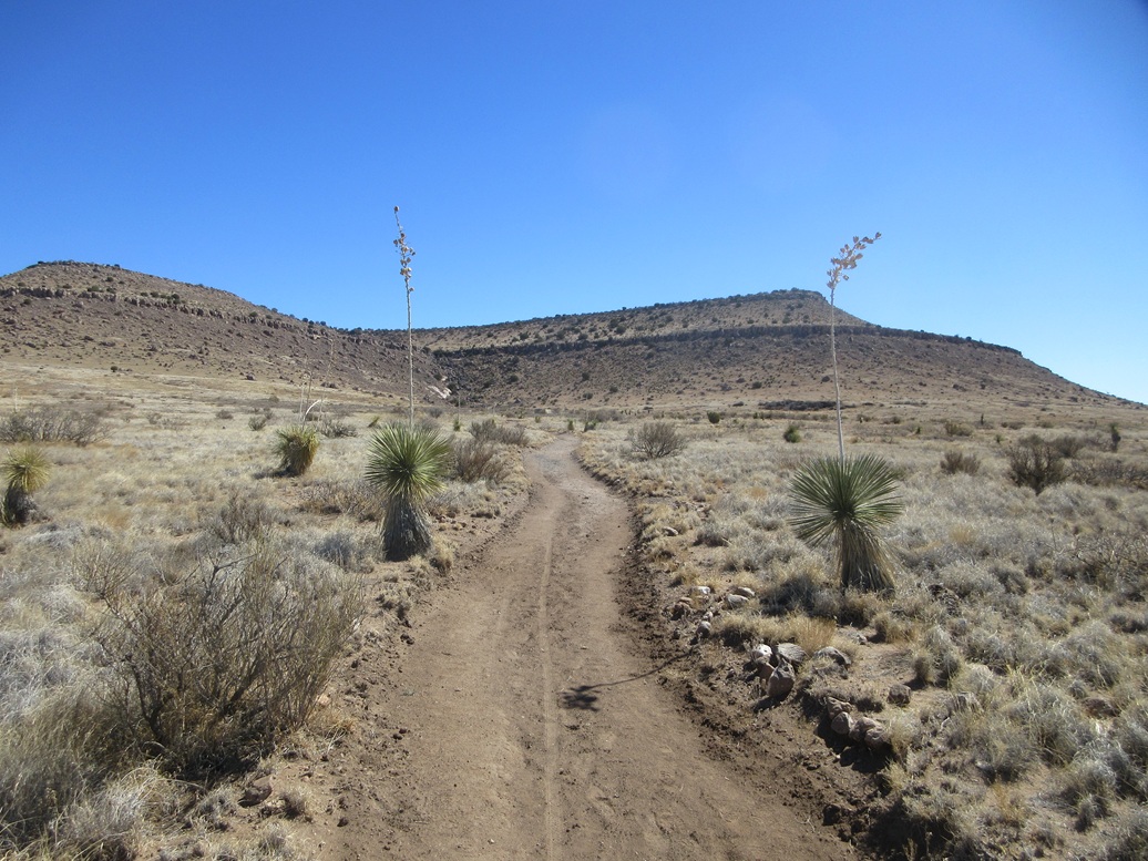
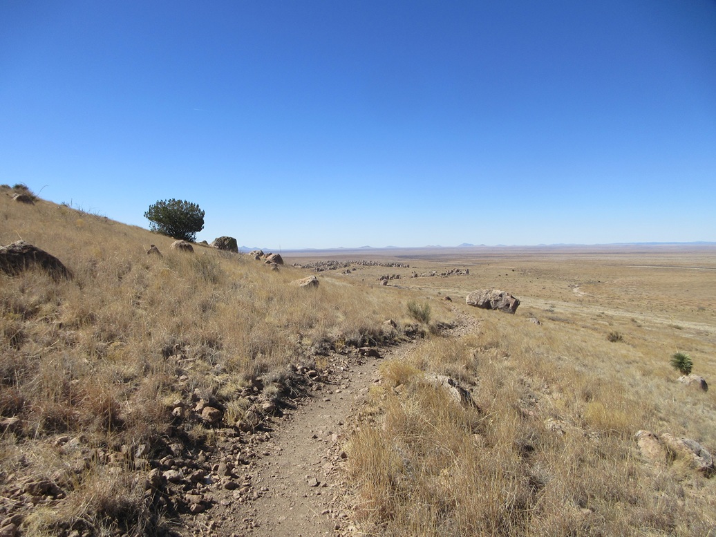
I got properly dressed and packed, and started hiking, following the Hydra to a junction, then a right and a left, now on the Table Mountain Trail. I then followed this trail as it swung back northwest and north, making a couple of long switchbacks to get around the lower cliff line. Toward the top, it steepens, then weaves through the rocks of the upper cliffs and pops out onto the mesa top. A bench marks Observation Point. According to the trailhead map, it's just under 2 miles to here, and I had been hiking about 45 minutes.
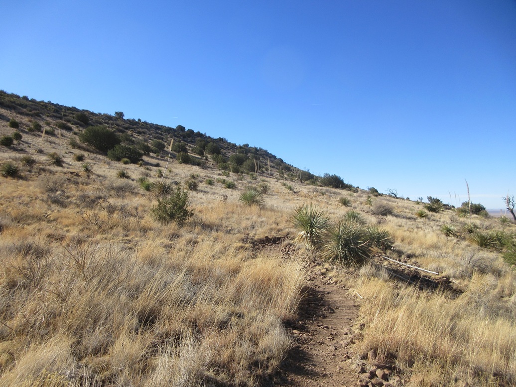
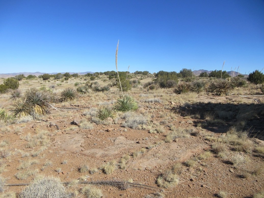
The northern tip is the presumed highest point, about 0.6 mile away. I found some paths at first but these petered out. Fortunately, the terrain up here is open, with some rock outcrops and a lot of exposed rock flush with the ground, making the walk go by fast.
Conditions were outstanding, the temperature now warming into the low 50s, and the breeze barely noticeable. I came upon one group of deer, who slowly ran off when they sensed me. Then I came upon another group a few minutes later, with the same reaction.
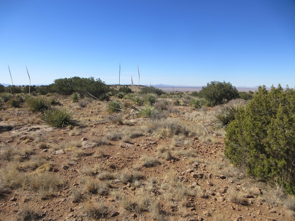
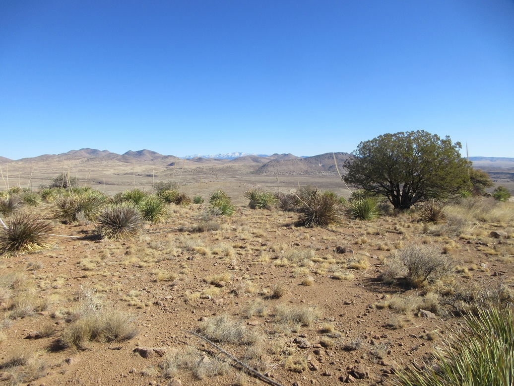
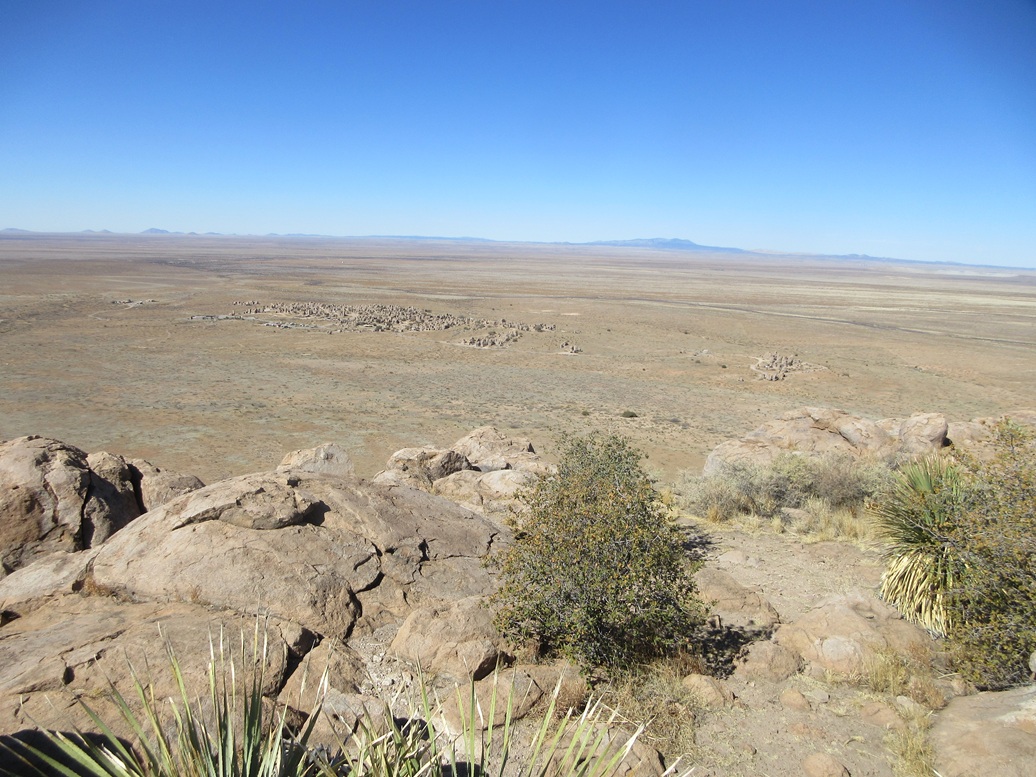
In about twenty minutes, I had covered the distance to the north tip of the mesa. It was flat and with no indication of previous visitors. No cairns or any such markers. I walked the entire area to be sure. Views were fantastic. To the north, the snowy Black Range peaks rose above the lower grassy hills in the near distance.
For my walk back, I circled slightly to check out another area that might be as high. This area had a couple rounded rocks jutting up about three feet, so I walked upon them, then resumed my walk back south. Some rocky protrusions not far from Observation Point might be the highest points on the mesa top. I tagged one to be sure. Unfortunately, Lidar at the 1-meter resolution is not available for this area, so there is no way to know for certain for now.
I stopped briefly to rest at Observation Point and snap a few images. Most of my photos were taken as I walked out, with the sun higher so that it wouldn't create so much glare. I then walked back down the trail, arriving back to my car exactly two hours after having started. I never saw another soul on the hike.
This was a great hike and one I recommend. The City of Rocks is a clump of exposed rocksthat rise up about fifty feet in some cases, like a massive stonehenge. Campsites are tucked into the voids between them and it appears there are a lot of long-term campers here.
I was pleased how things went and especially pleased how lovely the weather was for the hike. I also realized that it will be warming, and my next opportunity to hike this peak would not be for another six months.
Elevation: 5,140 feet
• Prominence: 468 feet
• Distance: 1 mile
• Time: 25 minutes
• Gain: 415 feet
• Conditions: Sunny and pleasant
PB
•
LoJ
I got back on US-180 and drove into Deming, stopping at a gas station to have a lunch and look at my phone for some ideas. I "suddenly" remembered there is a peak west of town that has some towers on top and a road to it. A road hike right now would be dandy.
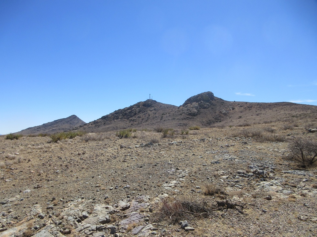
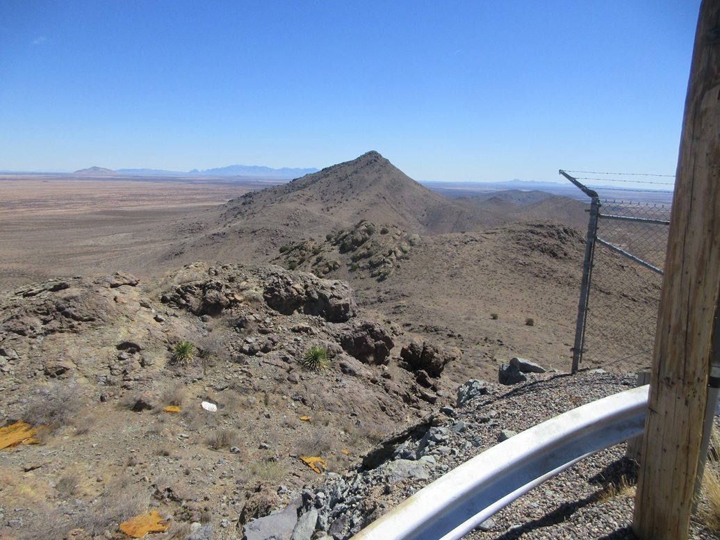
I zeroed in on the western peak of the Victorio Mountains, which rise about twenty miles to the west, near the tiny locale of Gage. I got onto the interstate and headed that way. The road I wanted is only accessible from the eastbound lanes, so I had to drive a couple extra miles to the Quincy Exit (#55, as I recall), and double back eastbound.
Just past milepost 60, I eased to the shoulder and got onto this road, and discovered that the gate was open. This was a stroke of luck ... or maybe not. I drove in, but knew it was possible whoever had opened it could leave and lock me behind the gate. I took my chances.
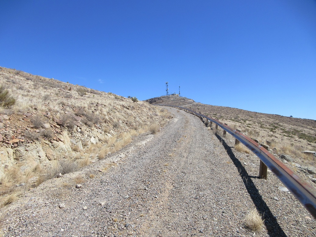
The access road is narrow and covered in chunky gravel that made for a decent road bed. I went in about a mile, gaining onto the small range's main ridge, then following the road as it curved behind the lower hills. The road started to get very steep, so I parked in the first pullout I found, elevation 4,750 feet. I was about a half mile from the top.
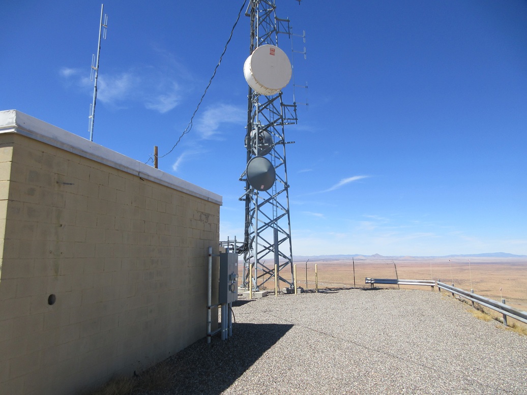
I did not waste time. I got my pack on and my sticks, and started fast-walking up this road. The top came into view quickly, the road leading right up to the small tower complex. The final segment was quite steep, over a 20% grade, but the road itself stayed in the same shape, no big rocks or ruts.
The gate into the small complex was open so I walked in and snapped a couple images, expecting to see some tower workers but not seeing anyone. I did not linger. I fast-walked, almost jogging, back to my car. My round trip was done in about 25 minutes.
The peak's awkward name is for a benchmark, stamped Gage No. 2, presumably the second benchmark here after the original Gage benchmark was lost or damaged or dug up. The actual benchmark lies about fifty feet below the summit and I chose not to seek it out. The USGS benchmark database does not list this benchmark so I have no idea of its history or status.
I piled in and drove out, relieved to see the gate still open. This was a perfect second peak for the day. Nothing complicated, completely brainless route-finding, and expedited by showing up when the gate was open. Had it been closed and assuming I had to park outside of it, there are no signs prohibiting access, and the road walk would be just 1.5 miles each way.
I eased back onto the highway, then exited at the Gage exit, then doubled back to the westbound lanes, aiming for Lordsburg, where I intended to top the gas and then look at a third peak down by the village of Animas.
A few miles east of Lordsburg, traffic slowed to a crawl, and mobile signs said the road was closed ahead. We were being shunted off the interstate at the East Motel Road exit (#24). Apparently, a couple days earlier, a truck pulling a massive excavator plowed into the overpass bridge and damaged it. The bridge was sagging, and big chunks of concrete were gone, with exposed girders and rebars all hanging down underneath. I found some images and a YouTube video of the news account and it looked nasty. This won't be fixed quickly.
Once past that, I skipped Lordsburg altogether and got gas at the Road Forks truck stop, then followed highway NM-80 south toward Douglas, Arizona. After a brief grocery run, I was back home by 4 p.m., happy to be back and happy to have had a productive week in New Mexico.
|


|