
The Mountains of New Mexico
www.surgent.net |
|
Sacramento Mountains Peak 9,695 & Benson Ridge |
• Highpoint: (South) Sacramento Mountains • Lincoln National Forest • Otero County |
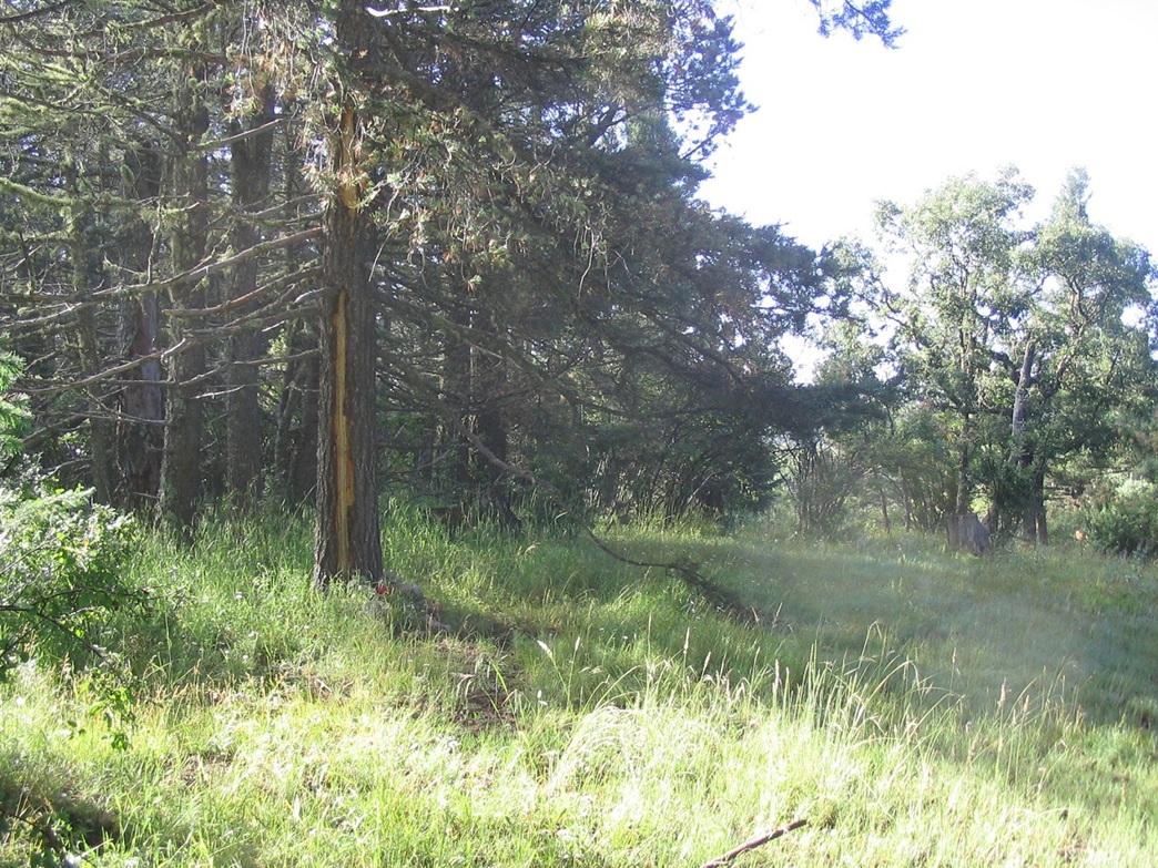
 Trail up Corral Canyon
|
Date: August 7, 2007
• Elevation: 9,695-9,700 feet
• Prominence: 2,095 feet (S. Sacto); 680 feet (Benson Ridge)
• Distance: 5 miles for both hikes
• Time: 3 hours total
• Gain: 1,240 feet
• Conditions: Cool and misty
New Mexico
•
PB (S. Sacto)
•
PB (Benson Ridge)
I was starting a week-long tour of New Mexico, with a number of prominent peaks on my list, generally swinging south to north in a counter-clockwise manner. On my agenda were four prominent peaks surrounding Sierra Blanca (which I hiked back in 2001), then a few more north near Taos. I left home early the morning of the 6th, and drove 430 miles east into New Mexico through Lordsburg, Deming and Las Cruces, arriving into Alamogordo about 5 p.m. in mixed weather. I had driven through heavy rain squalls on the way out, and the whole state seemed to be under active monsoon storms. I planned to camp, but the rain and inexpensive motel prices prompted me to take a room in the main part in town.
The southern Sacramentos were visible once I came up and over San Agustin Pass, which comes up from Las Cruces and over the Organ Range. I stopped briefly to view the Organs, and down into the military housing town where we lived back in 1969-1970. Looking east, the southern Sacramentos rise up from the desert plain below, but the range does not feature one particular obvious summit. From the east the Sacramentos rise gently, then drop abruptly west down into the Tularosa Plain. It is these cliffs one sees from White Sands and Alamogordo when looking east.
The range is best known as home to the National Solar Observatory in Sunspot, a little town built to service the observatory. The community of Cloudcroft is the main city in the range, a nice town at 8,000 feet elevation, with authentic old-time buildings. The gentle nature of this range's topography means that identifying the actual highest point(s) is next to impossible without a good topographical map. Even the observatories are built on slightly lower hills apart from the highpoints.
There are three highpoint areas, one south of Sunspot and two clumped close by one another about 5 miles north of Sunspot on Benson Ridge. Forest roads go close by all three areas, but to make this sporting, and hankering for even a small hike, I chose to follow foot-trails and forest roads to make this a moderate hike.
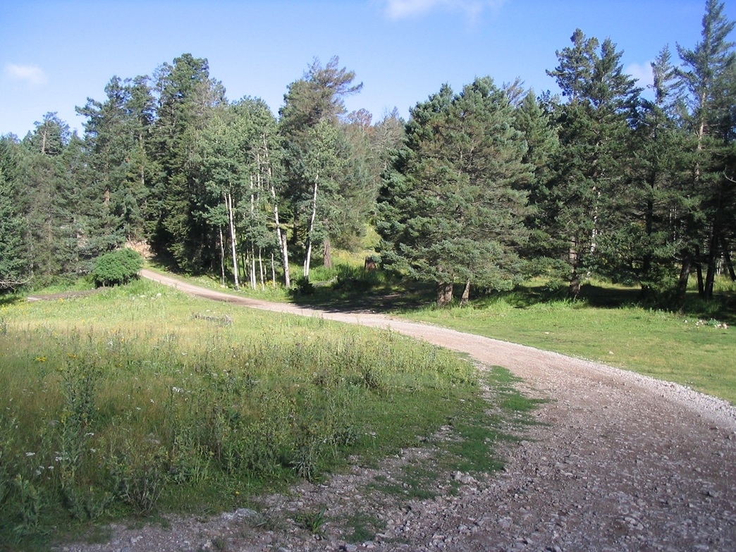
From Alamogordo, I drove US-82 into Cloudcroft, then followed state routes NM-130 and NM-6563 south past Sunspot, finding the trailhead for Corral Canyon (Tr-537) along paved local route C-1 two miles southeast of the turn-off to Sunspot (and about 20 miles south of Cloudcroft). Yesterday's clouds were gone, and it was mostly clear during the early morning, but the air was very humid and there was localized ground fog in the little canyons and pockets of the range. The ingredients were there for more active weather later in the day once it warmed up. I parked at the Corral Canyon trailhead around 8:00 a.m. local time. The temperature was about 50 degrees.
I got my boots on and my pack in order and started up the Corral Canyon trail. The trail heads north and gains 800 feet in a mile through heavy forest and grass. The grass was wet with dew and in the process, my pants and boots got quite wet hiking through it. In about 30 minutes, I was at the top of the short trail, where it lets out onto Forest Road 64. I turned right and followed FR-64 south for about another mile, passing a number of small hills that were almost as high as the highpoint hill.
Finally I was close to my objective, and when it felt right I entered into the trees and grass to seek out the highest point, marked as spot elevation 9,695 feet on the map. I found a small cairn of rocks up against a tree on the mostly open summit, and signed in. However, views below were mostly obscured by trees. The hike down went quickly and I was back to my truck within an hour.
For the other two areas on Benson Ridge, I backtracked north along NM-6563 to Forest Road 223, directly opposite the turn-off to the Alamo Peak Observatory. I followed this road for about three miles to its junction with FR-5007, and parked in a pull-out here. The other highpoints are on top a small hillock directly north of the junction. I walked up the easy slopes and kept going up, passing the first area (clearly lower) and continuing on to the second, more northerly area, where sat another cairn and register.
Previous visitors mentioned comparing GPS readings of elevation and remarking this point being possibly the highest in the range. However, all three "peaks" are easy to visit, and in my mind, their relative contour areas and gradients would suggest (to me) that the southern and northern areas are statistically the same. This little excursion took just a few minutes.
From here I returned north into Cloudcroft for a lunch and time walking around its little downtown area. It's a real cute little town, maybe a place to come back to for a vacation.
It was noon when I left Cloudcroft. I returned to Alamogordo, then north through Carrizozo and into Capitan, where I took a hotel for two nights as a base of operations for the next three peaks on my list. By now most of the sky was clouded and there were a few thunderstorms in action, so hiking any more today was out of the question. I got rained on a few times and took refuge in the hotel room, reading up on old Smokey Bear.
I don't think anyone knows yet for sure what hilltop is the highest point of the whole range. The south point has a 9,695-foot spot elevation, and the northern point has no spot elevation, but lies within a 9,680-foot contour with 40-foot intervals, which suggests that it is possible its highest point exceeds 9,695 feet. For now, I'll assume the south hill at 9,695 feet is the highest, and that Benson Ridge's highpoint is lower. However, even if so, it still is a decent-sized hill with over 680 feet of prominence.
|


|