The Mountains of New Mexico
www.surgent.net |
| Pinos Altos Mountain |
• Pinos Altos Mountains • Grant County |
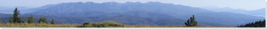
 Pinos Altos Mountain from Silver City
|
Date: November 12, 2023
• Elevation: 8,127 feet
• Prominence: 1,167 feet
• Distance: 2.6 miles
• Time: 90 minutes
• Gain: 950 feet
• Conditions: Cool, sunny and clear
New Mexico
•
PB
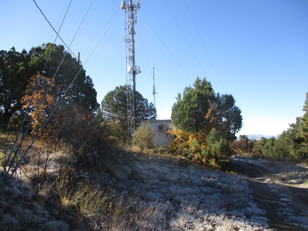
Pinos Altos Mountain rises north of Silver City, New Mexico. It's the obviously-higher summit with the radio towers atop it. There are two peaks with towers, Pinos Altos Mountain is the higher of the two.
Getting to its summit is not difficult as a bunch of roads encircle the peaks with one going to the top. These roads also access old (and current) mines that are all over the sides of the hills. Pinos Altos is a historical mining town dating from the 1870s, predating Silver City by a few years.
I was leaving town today, intending to be back in Tempe by evening. The previous couple days had been cloudy and cool, but today started sunny and clear, cold in the morning but warming nicely as the sun rose, ideal conditions for an easy hike.
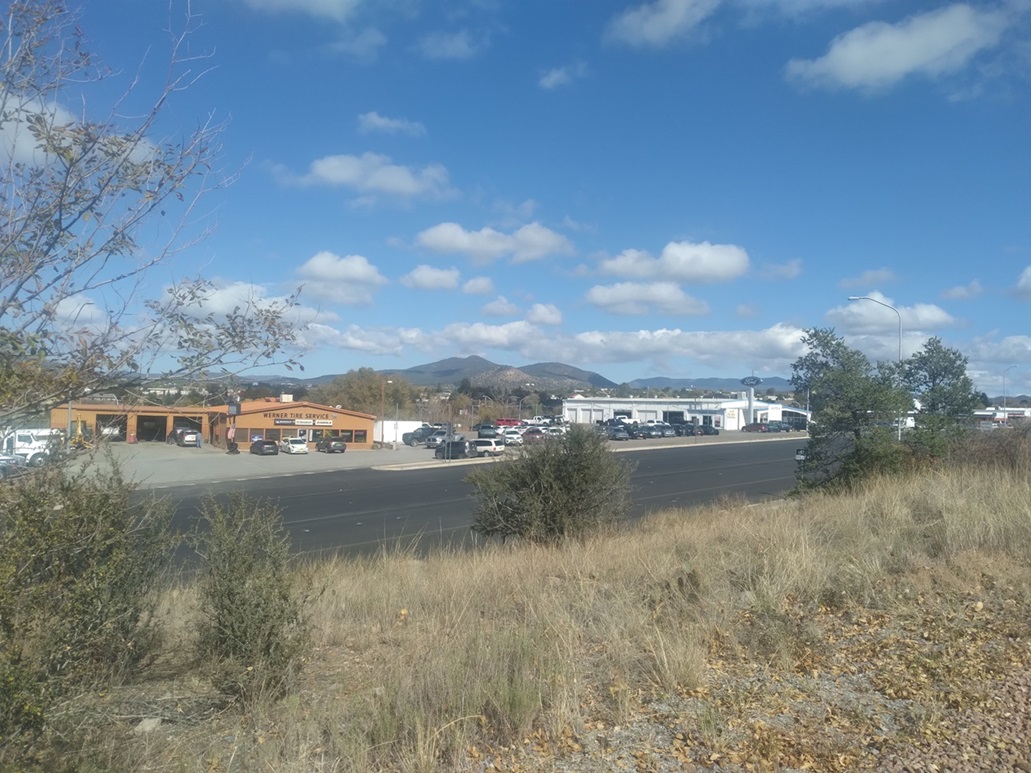
From Silver City, I went north on NM-15, signed for Pinos Altos the town, about 6 miles up the way. Close to town, I turned onto the Radio Tower Access Road, and managed to get in a half mile on decent road, parking in a pullout near three large shipping containers.
The road afterwards was still a good road, but this parking spot was too good to pass up, and I was close enough, less than two miles, from the top. I got my stuff together and started walking at 7:45 a.m.. My car's temperature gauge had said it was 36° outside, but it surely wasn't. It felt more like high 40s. I didn't carry a pack. I wore my fleece vest and stuffed a couple bottles of water in the pockets, plus my phone, wallet, map and keys.
I walked the road about a quarter mile, coming to a Y-junction. I went right, onto a slightly-scruffier track. I followed this track as it went north then west, now below the peak. Up ahead was a low hilltop, spot elevation 7,441 feet on the map. The road wasn't bad. Had I been motivated, I could have eased the Subaru to this point.
There is another Y-junction slightly past Hill 7441. The better track stayed low to the right, the left track looking like a mess. I stayed right but quickly realized this bends too far to the north and a sign said it was a private road anyway. Later, looking at the map, there apparently are some mines that way, which my explain why the road to here was somewhat maintained.
Back to the junction, I went up the left track. It was steep, rocky and loose, with one very steep segment of badly-eroded tread. This tops out at a mine and a sharp right switchback and a gate that looks like it hasn't been closed since Eisenhower was president. This was the right road. It agreed with the map and with my satellite image I had saved on my phone.
I stuck to this track as it gained steeply to top out on the high ridge, meeting with another better-looking road that is evidently what the tower workers now use these days. Where it starts from down low, I don't know.
I marched uphill, staying right at one last junction, going up a steep "road" of concrete to top out at the first set of towers. These were clearly not the highpoint. I walked past the fencing and to another set, then past it to the last set at the north tip of the short summit ridge. The highpoint is hidden in the brush near the middle set of towers. It was easy to find.
The summit is just a pile of rocks covered in weeds. I found a register and signed in. Someone was here a couple days ago, but the register was new and held just a few names. I shot a few images but didn't really pause. I got what I came for and was happy about that. With thoughts of 400 miles of driving dancing in my head, I started back down, no time to waste.
I was back to my car a little after 9 a.m., a roughly 90-minute round-trip hike covering 2.6 miles and 950 feet of gain. It was easy and brainless, and fun too. It had "warmed" into the 50s, but it had been such a leisurely hike I barely had broke a sweat.
Now to get moving. I stopped in Silver City for gas and one important errand, then made a long drive back to Tempe, not necessarily taking the most direct route. The drive was eventless. Traffic wasn't too bad, even in Tucson. I thought about a short hike in Tucson, but by now, temperatures were in the mid 80s. I was back in town by 5 p.m., tired but feeling alright. It had been an eventful few days. I didn't just go to Silver City to climb one peak.
|


|