The Mountains of New Mexico
www.surgent.net |
| Black Peak |
• Highpoint: Pinos Altos Mountains • Gila National Forest • Grant County |
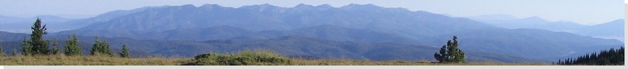
 The Pinos Altos Range as seen from near Silver City
|
Date: November 24, 2006
• Elevation: 9,029 feet
• Prominence: 2,349 feet
• Distance: 1.2 miles
• Time: 2 hours
• Gain: 450 feet
• Conditions: Sunny but cold, with ice on the trails
New Mexico
•
PB
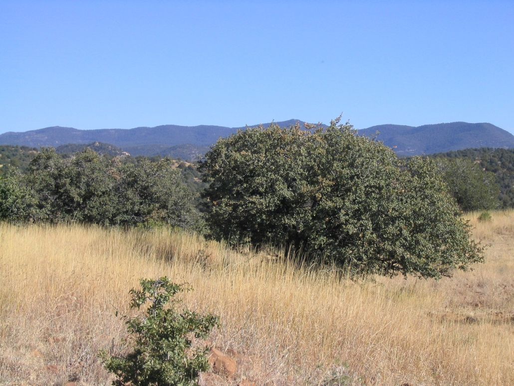
Black Peak is the highpoint of the Pinos Altos Mountains, north of Silver City. Silver City itself lies at 5,900 feet elevation, in the transition between mountains and desert, and the Pinos Altos can be seen from town as a ridge of peaks, uniform in appearance, about 10 miles from US-180 (the main east-west road through town). Although not a big range, it has its attractions: a thick forest and plenty of hiking trails, and not a lot of visitors.
We were here in 2004, and during that trip, while on a day tour to the Gila Cliff Dwellings, we drove to Signal Peak (west of Black Peak) to the lookout tower. There was a race going on at the time, with people on horses following a route through the hills. At the top of Signal Peak was a race checkpoint person, as well as the guy in the lookout. We stayed up there about an hour, chatting with everyone. However, we did not venture to Black Peak.
We planned this trip for the Thanksgiving Holiday. North of Silver City is the old town of Pinos Altos. Today it's a community of about 100 people, with historic buildings, but a hundred years ago it was a bustling city and the county seat of Grant County. Our Thanksgiving dinner was cheese, crackers, salmon-in-a-pouch and cups-o-soups, enjoyed in our Super-8 hotel room.
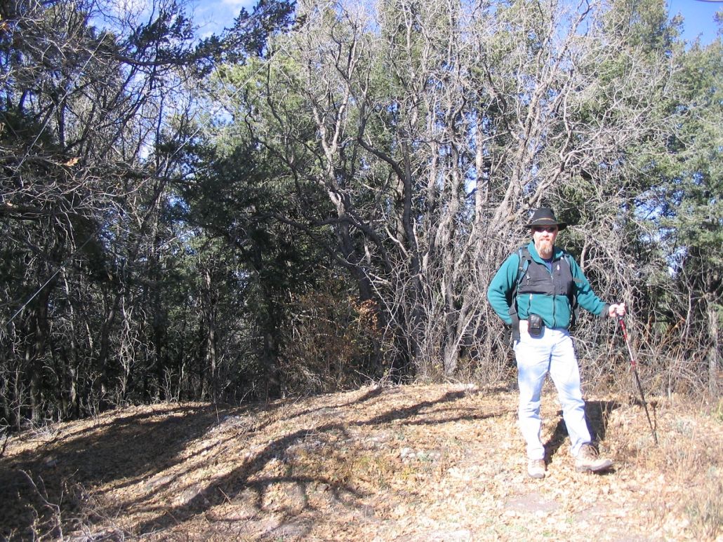
We planned our hike into the Pinos Altos Range the next day (Friday), and got moving in mid-morning. We followed state route NM-15 about 15 miles north of Silver City, intending to take Gila National Forest Road 154 toward Signal Peak. Even though we drove this road back in 2004, I had trouble remembering where it left off the highway, so I drove up and down the highway thinking I'd missed it, but eventually found it. We drove this fine road for 5.7 miles to a pullout on the left, near a trail access sign. Black Peak is less than a mile to the southeast from this pullout. Although the day was clear, it was cool, with an occasionally strong breeze. We were the only people there. After suiting up, we started hiking about noon.
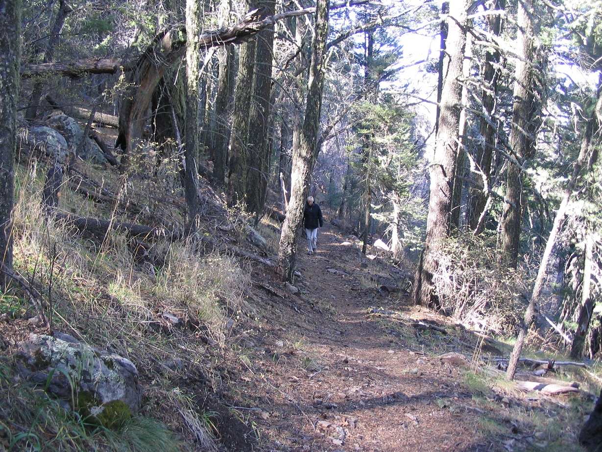
We followed a segment of the Continental Divide Trail. From the parking area, it rose gently south into the trees, then went left (southeast), all the while at a very lenient gradient. About two-thirds of the way up, we encountered patches of ice along the trail, but nothing to cause trouble. According to the 1999 topographical map, the trail is shown as staying on the ridge between Signal Peak and Black Peak, but our trail never achieved the ridge until much later than what the map said. When we finally achieved the ridge about 30 minutes later, we stopped for a break while I took a GPS reading. We were east of the peak, but it was standing right there, in front of us to the west, so that worked out well.
After our break, we hiked steeply uphill through the trees, pine needles, pine cones and scrub to the top, about 120 vertical feet of off-trail hiking. Two buildings sit at the top, and a couple skinny radio towers. The summit is cleared and there are great views south and east toward the Florida Range near Deming, plus Silver City below us. It took us 45 minutes to get here, including our break, so we took another one at the top while I signed us in the log. We found the benchmark in a rock, while the actual high area seemed to be a few feet north near a witness marker (maybe 6 inches higher). We took photos, but deliberatly framed the buildings out of the pictures. We retraced our steps down the slopes to the CDT.
The hike out went well, and the whole journey took us 2 hours, covering 1.2 miles and about 450 feet of gain. Coming back into Pinos Altos, we stopped near the old church and toured the cemetery grounds, graves dating back to the 1800s and many of them unmarked or badly worn from age. Some old-timers digging a grave could not recall anyone with B.'s last name buried there. We had a relaxing day back at the hotel, highlighted by a forced move to a new room when the toilet above our room overflowed and started to cause water damage in the walls of our bathroom.
The next day we planned to look at a short hike up Burro Peak but opted against it due to time. Instead, we spent a day at the Faywood Hot Springs about 30 miles southeast of town near the City of Rocks State Park. Then, that evening we took in the Christmas Parade in Silver City. Most floats were simple and mainly Christmas lights strung out over flat-bed trailers. Some weren't even that elaborate. Our favorite was the "Peacemeal" Vegetarian Deli float, which was three guys sitting in the bed of a truck playing bongos and tablas, with their shop's name spelled out on milk jugs strung together.
The next day (Sunday) was our big drive home but on the way, we scouted Burro Peak. We figured we could drive to the radio towers on nearby Jack Peak, and hike a short ways to the real summit, but all the roads were deep sand and we wanted to part of that, so we decided to get moving and to come back another day.
|
|