Hayford Peak
May 22, 2016
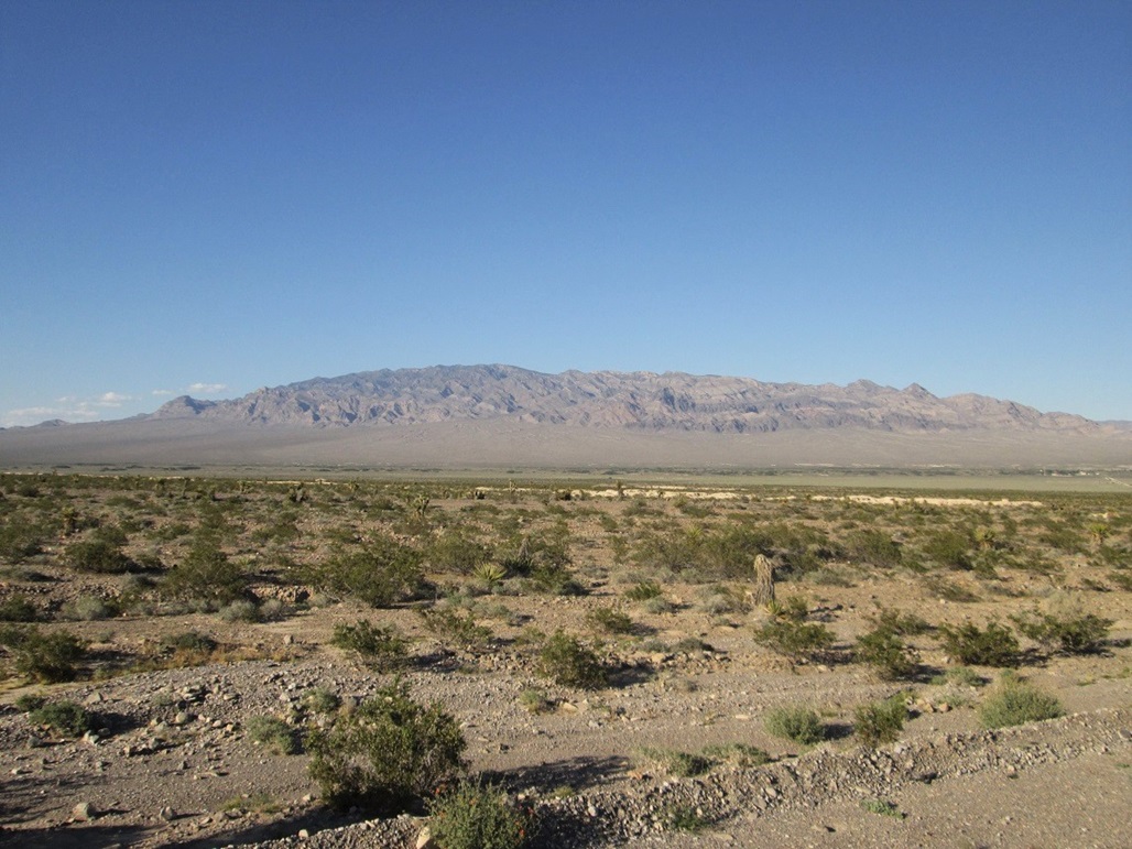
The southern part of the Sheep Mountains from highway US-95. Hayford Peak is not visible
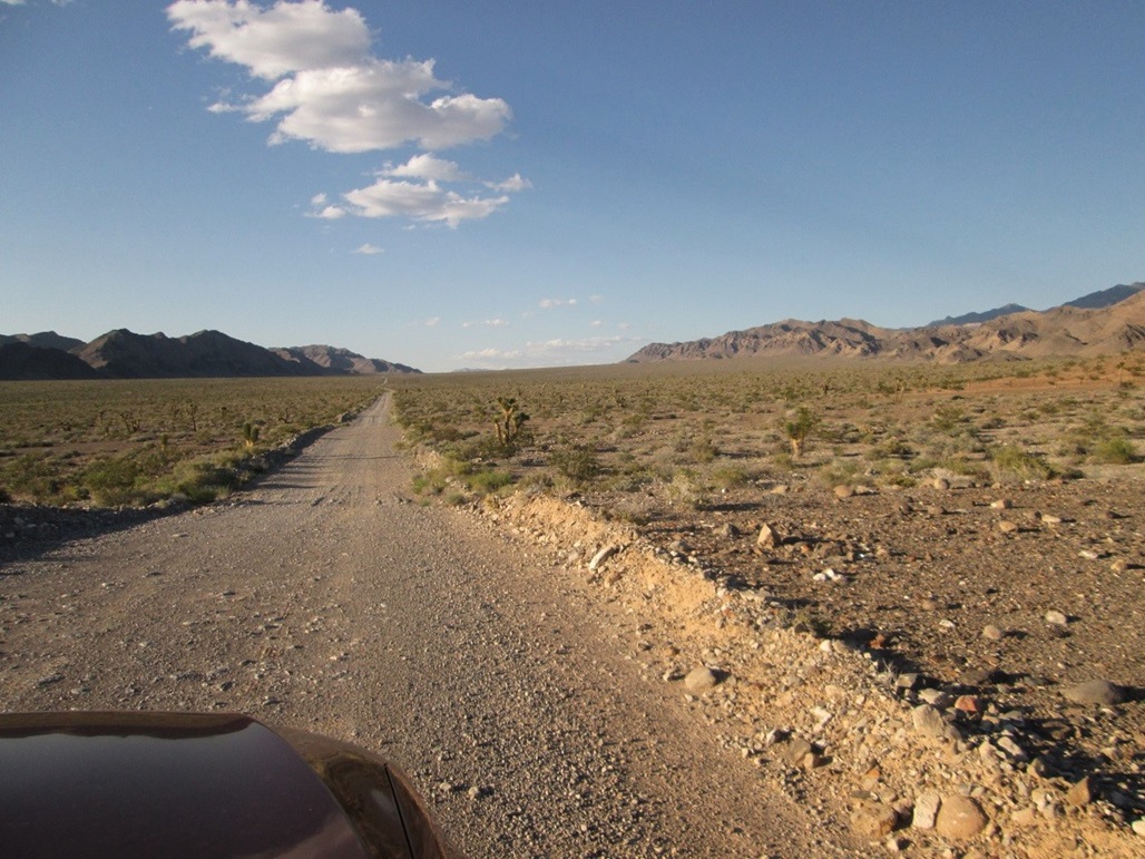
A portion of the "main" road
Looking at the north part of the Sheep Mountains. I am still not sure if Hayford is visible
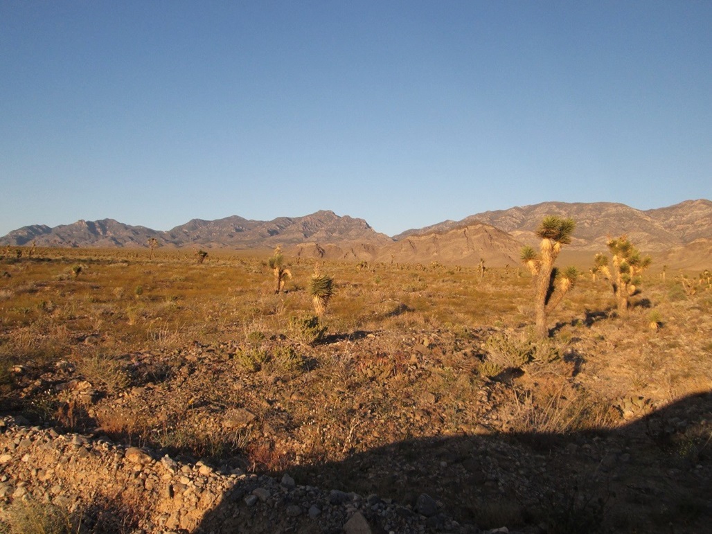
At the trailhead. Perhaps that rounded bump to the right of the craggier one is Hayford. Maybe not
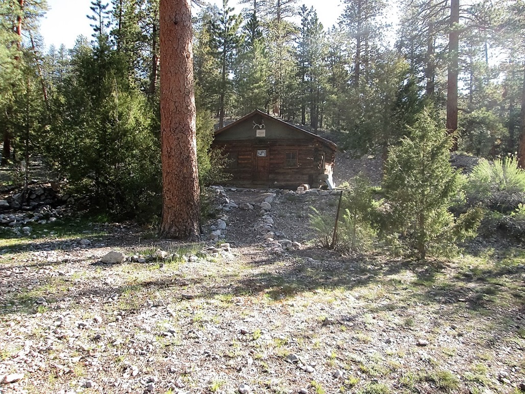
The next day, suddenly we've covered five miles and are now at the Hidden Forest cabin

View of the cabin from the slopes above

Now higher on the ridges, we finally see Hayford Peak
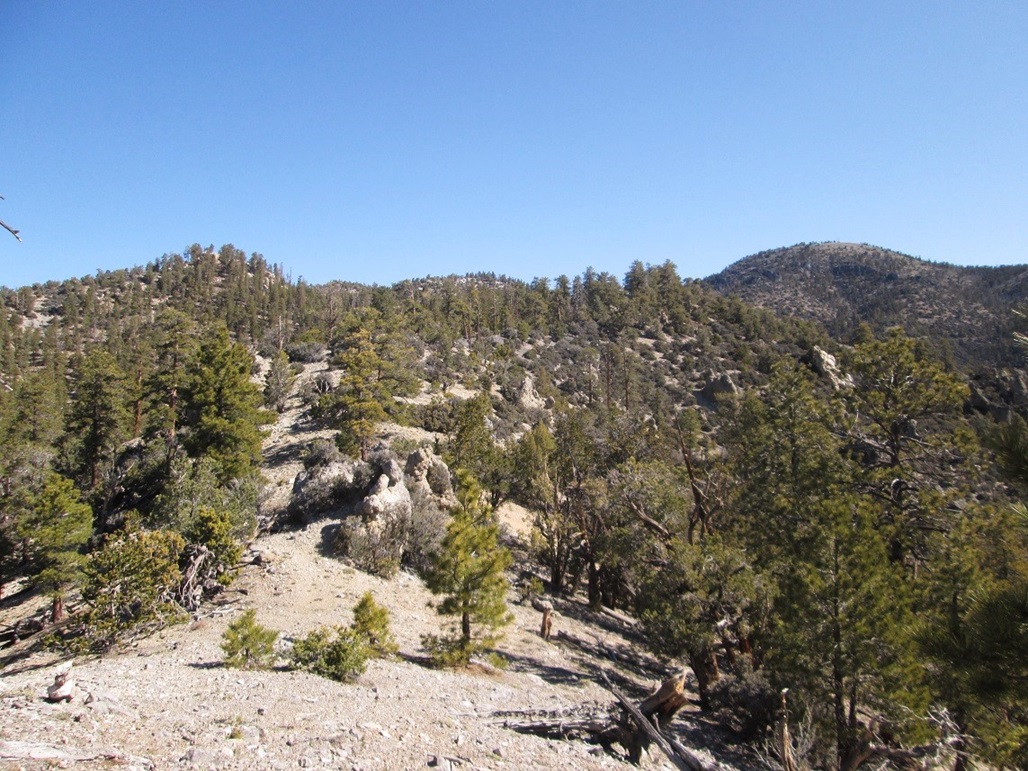
The ridges we would follow to Hayford

Above the last saddle below Hayford Peak

The last fifty feet. An antenna pole can be seen
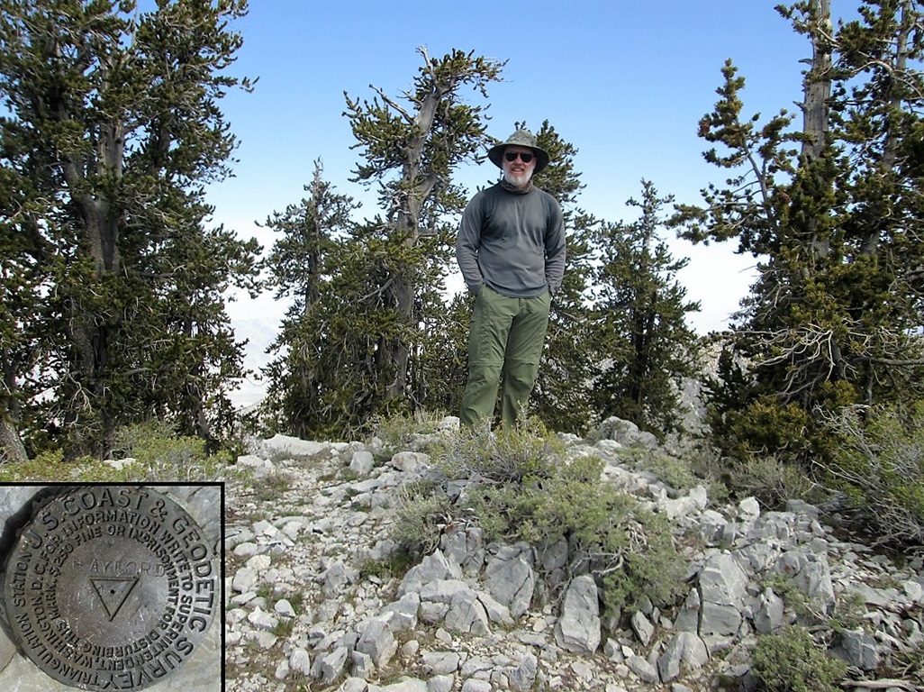
Me at the top, feeling the love
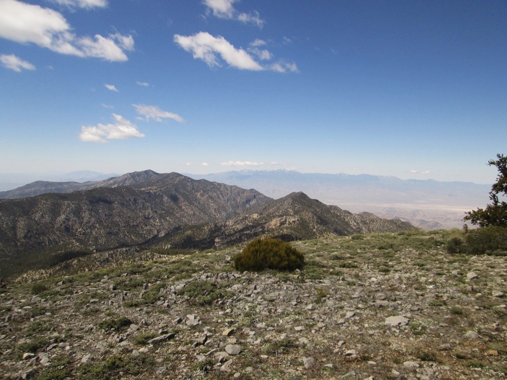
West view with SHeep Mountain (closer in) and Mount Charleston

South view of Gass Peak. Las Vegas is back there somewhere

On the descent now, looking back at the peak

Another view of the peak
Deadman Canyon and the Hidden Forest

Higher up, the trees are taller and montane-like

The transition in flora from pine/fir to desert is slow

Looking west at the mouth of the canyon

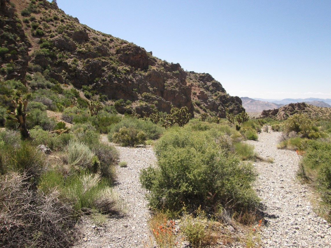
The canyon is very wide at the start

Yikes, a snakey. Fortunately, I saw him from a few feet away
Joshua trees grow here (and out on the desert slopes too)

View at the entrance of the canyon
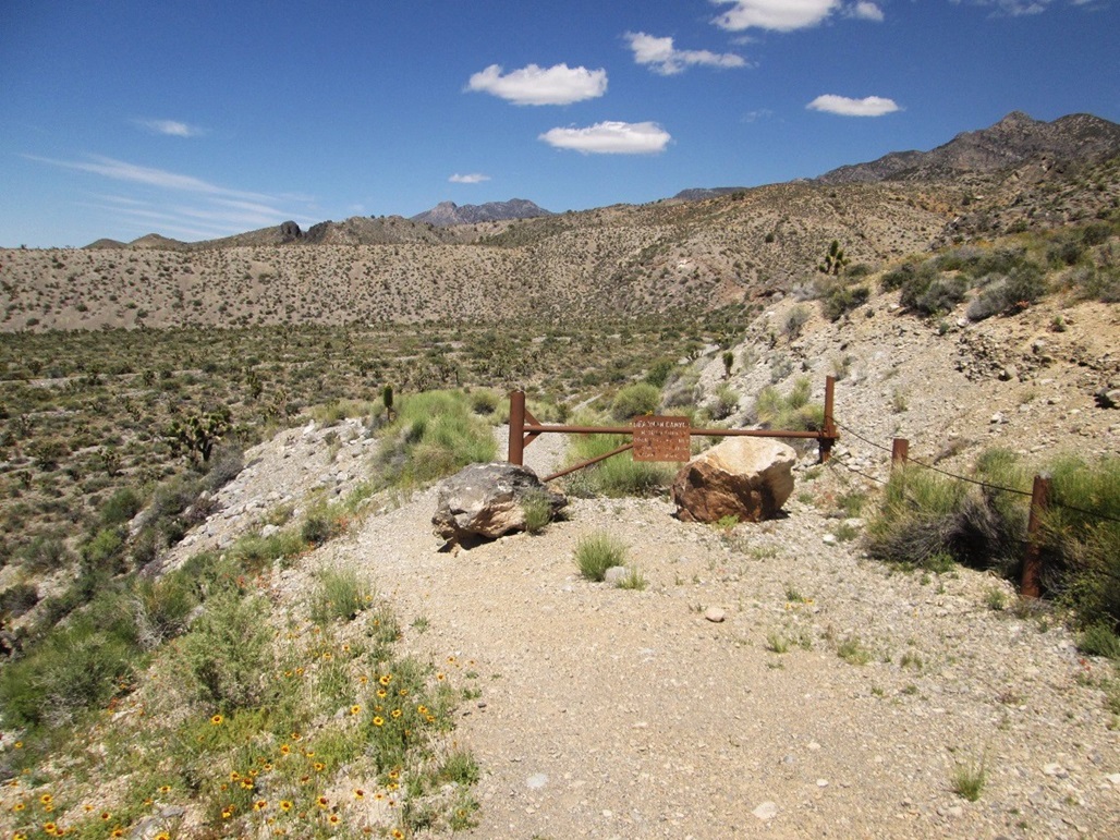
Sign and gate at the road's end
Arizona Page • Main Page • Trip Report
(c) 2023 Scott Surgent. For entertainment purposes only. This report is not meant to replace maps, compass, gps and other common sense hiking/navigation items. Neither I nor the webhost can be held responsible for unfortunate situations that may arise based on these trip reports. Conditions (physical and legal) change over time! Some of these hikes are major mountaineering or backpacking endeavors that require skill, proper gear, proper fitness and general experience.