|
Carroll County's
muddy highpoint
|
|
|
Date: May 9, 2008 • Elevation: 1,120 feet • Prominence: 520 feet • Distance: 0.4 mile • Time: 15 minutes • Gain: 50 feet • Conditions: Rain and mud
Main
•
PB
•
USGS BM Datasheet
We were in the Pennsylvania-Maryland region, heading toward Virginia. As luck would have it, we'd be passing within a few miles of the Carroll County highpoint, in the community of Wentz about five miles north of the city of Manchester. I had not planned to visit this county highpoint, but I had the map and asked if we could go scout it for a future visit. My partner was agreeable and provided excellent navigation help with the map while I drove.
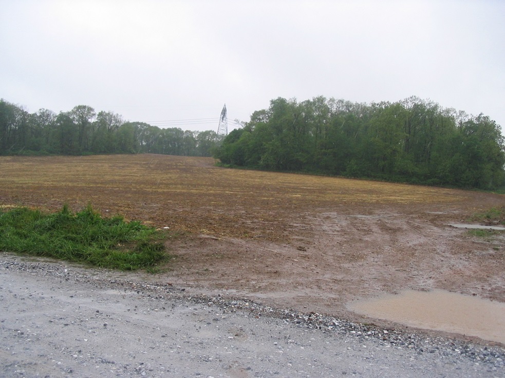
Slightly north of Wentz, we continued north on highway MD-30 up a hill, then west onto Harvey Yingling Road, which got close to the highpoint area. I saw I might get lucky, as past reports described fields of corn or other crops between the road and the highpoint hill, but today, the field was fallow. We drove to a high spot on the road near some homes, but far enough away so as not to be in their front yards.
The challenge now was the rain and the mud, and the fact I had no shoes, just my sandals, so I'd have to hike through the mud in my sandals, a cheap pair from Target. It was just me. My travelling partner, using better sense, stayed in the car.
Wearing shorts and sandals, and looking like a complete fool, I walked a muddy path that separated two fields and at first, I did pretty well. The ground was solid and covered in clumps of vegetation and corn junk, and as long as I stayed on these clumps, I could avoid the mud.
I walked about 300 feet up this road toward a patch of woods, then left along its boundary toward the obvious highpoint area underneath power lines. The actual highpoint itself is a small hill, covered in brambly vegetation. I carefully stepped into this bramble patch and the thick brush, not sure what I would find. The map shows a benchmark, but in my short visit here I did not see it, and the rain, mud and brush wasn't exactly motivating me to stick around longer than I had to.
After I spent a minute poking around in the bramble-patch, I turned around for the hike back to the car. Despite my best intentions to stay off the mud, I could not always do so, and toward the end, my feet were covered in mud, and my sandals were goners. I didn't even try to stay off the mud for the last little bit. I figured I may as well get as muddy as possible, when the cause is lost.
We backtracked into Manchester to a mall, where we bought new shoes in one of the department stores. From here, we drove to Virginia. The rain stayed steady but lessened as we got into Virginia, but the big rivers, the Potomac and the Shenandoah, were swollen and rushing like crazy with all the runoff.
|