|

Mount Quirauk
|
|
|
Date: May 13, 2008 • Elevation: 2,140 feet • Prominence: 1,480 feet • Distance: 0.3 mile • Time: 20 minutes • Gain: 30 feet Conditions: Pleasant
Main
•
PB
Quirauk Mountain is the most prominent mountain in Maryland. It is the highest point of Washington County, which is where Maryland pinches narrowly between the Potomac River and Pennsylvania. However, climbing Quirauk Mountain takes a lot of advance planning to gain permission to access the peak. It is a very sensitive place, guarded and patrolled at all times by armed military security. As such, the climb is trivial, because once at the gate, the top is just a few yards up ahead.
I had to make arrangements with the PIO of the military base. They are amenable to having visitors but need advance notice, plus information about your car, yourself, time and date. You can't just show up. I started this process many weeks beforehand. When we arrived in Baltimore, I called again with a make, model and license plate number for our car, plus the exact date we'd be there.
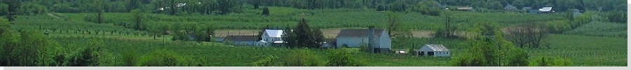
From our base in Virginia, the drive north to Quirauk Mountain covers about 80 miles via Frederick and Thurmont. From Thurmont, we followed smaller highways through the Catoctin Mountains toward Sabillasville and Cascade, following the signs to stay on course. Finally, we arrived in the community of Pen Mar, on the Pennsylvania-Maryland state line. Here, we took a break at Pen Mar Park, then drove three miles up a narrow road to the checkpoint.
The guards were waiting for us, asking us if we were the "hikers". They were young guys, nice, and probably happy to have us show up to relieve their boredom. While we gave them our IDs, four guard kitties emerged. The human guards feed them. Evidently the kitties have the final say who goes on past the gate. Within a few minutes the human guards led us on the grounds, and we followed another police guard named Sean, who'd been out for a jog, to the highpoint.
The actual hike covers a few hundred yards, and photographs are not permitted. The "natural" highpoint was probably flattened ages ago. Some rocks near a parking area are the likeliest highpoints. After tagging them we started back down the hill, the entire visit taking 15 minutes. We thanked the human guards and the kitty guards and drove back a mile to High Rock, a lookout along the road covered in colorful graffiti and a popular launching point for hang gliders. The views down onto the Maryland countryside were lovely, today being a clear one.
From here, we circled down into Hagerstown, then south along Interstate-81 via Martinsburg (West Virginia) back through Winchester and to Millwood. The weather, rainy most of the past few days, had been beautifully clear all afternoon, our best day so far.
Talking with the guards, they said only a few people have come up specifically to seek the highpoint in the past couple of years. The Appalachian Trail runs along the spine of the South Mountains but cuts west of Quirauk Mountain. Nearby military and government installations use the communications towers. The guards were nice, as was the PIO on the phone. However, I would stress that future visitors to this highpoint call ahead and make plans with the PIO rather than just showing up. It would be a shame to have this access denied because of some irresponsible people. And trying an end-run around the guards would surely mean business for you and them. They are armed and it is made clear they will use force if they need to.
|