County Highpoints of Maryland
• www.surgent.net
|
|
Baltimore refers to two entities: the city and the county. Baltimore City is an independent city, while the suburbs and surrounding farms and woods are contained within Baltimore County. Just so you know.
Date: May 9, 2008 • Elevation: 480 feet • Distance: A few feet • Time: 20 minutes • Gain: None • Conditions: Drizzly
Main
•
PB
When we landed yesterday at BWI, the skies were dark gray and the area was being socked by heavy rain. All of southern Maryland was under a tornado watch and virtually the whole state, plus most of northern Virginia, was under flood warnings. That night, the rain fell hard (3 inches, said the weatherman) and the skies lit up with lightning. Today was more of the same, with heavy rain, clouds, gloom and doom. There were a couple county highpoints to explore in the area. These were easy ones that we could do in any conditions.
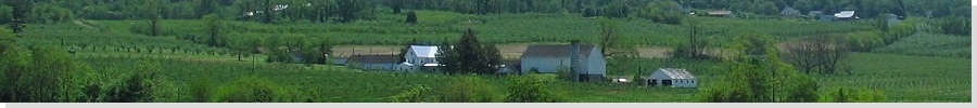
First up was the pair of highpoints of Baltimore City, which is a separate entity from surrounding Baltimore County. The highpoints of Baltimore City are in its northwest corner along Reisterstown Road. We came to Reisterstown Road from Loop-695, then drove southeast toward the highpoint areas. Not knowing anything about Baltimore, we were concerned we'd be driving into gangsterville, but we were happy to discover that this area looked safe. Reisterstown Road is a major thoroughfare, choked with traffic and lanes that disappear randomly. Somehow we made it into Baltimore City, in a light drizzle.
We explored the areas along Park Heights and Labyrinth Roads, which we visited in no time, making short walks in the mist to gain a sense of the highest areas. The stronger candidate area is about a mile away along Falstaff Road then north up Park Heights Avenue to Temple Ohev Shalom. We drove into the parking lot around back of the Temple and walked to a row of trees that seemed highest. The city boundary cuts through the back parking lot, so we walked a little more than needed to be sure.
Back onto Reisterstown Road, we rewarded ourselves with Starbucks coffee and some wonderful deli sandwiches and snacks from the Edmart Jewish Delicatessen.
Coffee and sandwiches safely in hand, we left the area and headed north for the highpoint of Baltimore, the County.
Date: May 9, 2008 • Elevation: 966 feet • Prominence: 120 feet • Distance: mere steps • Time: mere seconds • Gain: None • Conditions: Rain
PB
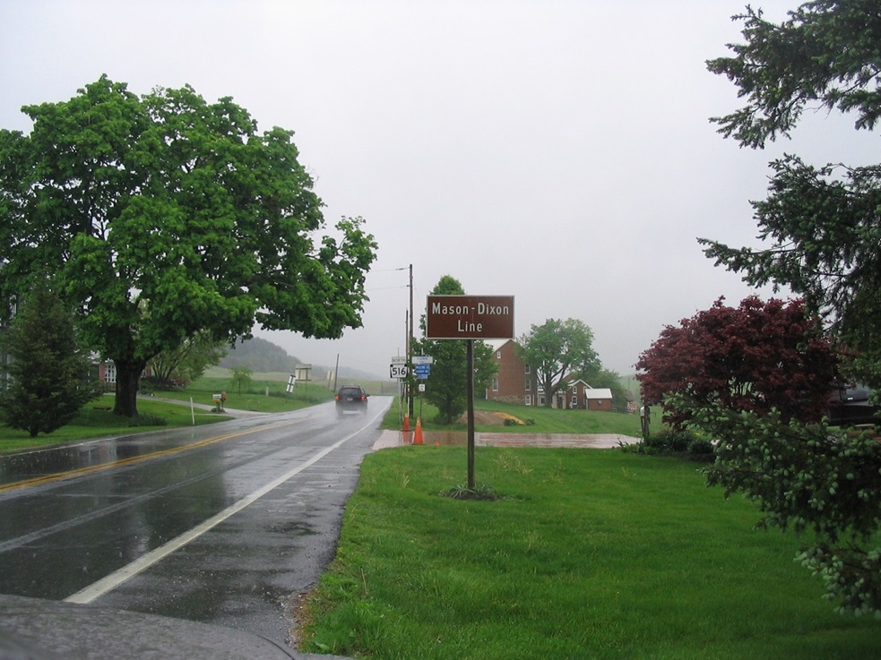
The Baltimore County highpoint could not be more different than from the city. The county highpoint is located up on the Pennsylvania border in the town of Stiltz, about 40 miles away along Interstate-83 and Middletown Road. We followed the highway toward Stiltz in the heavy rain, and before we knew it, we were there.
There is no sign naming the town on the highway and the only hint we were in the right area was a sign for York County, Pennsylvania, and a junction sign for Pennsylvania state highway 895. The Baltimore County highpoint appears to be on the state line near a small Notary Public office. We left the car briefly into the heavy rain to stand on it. Then we headed more north and west then south back into Maryland.
|

|