County Highpoints of Massachusetts
• www.surgent.net
|
|
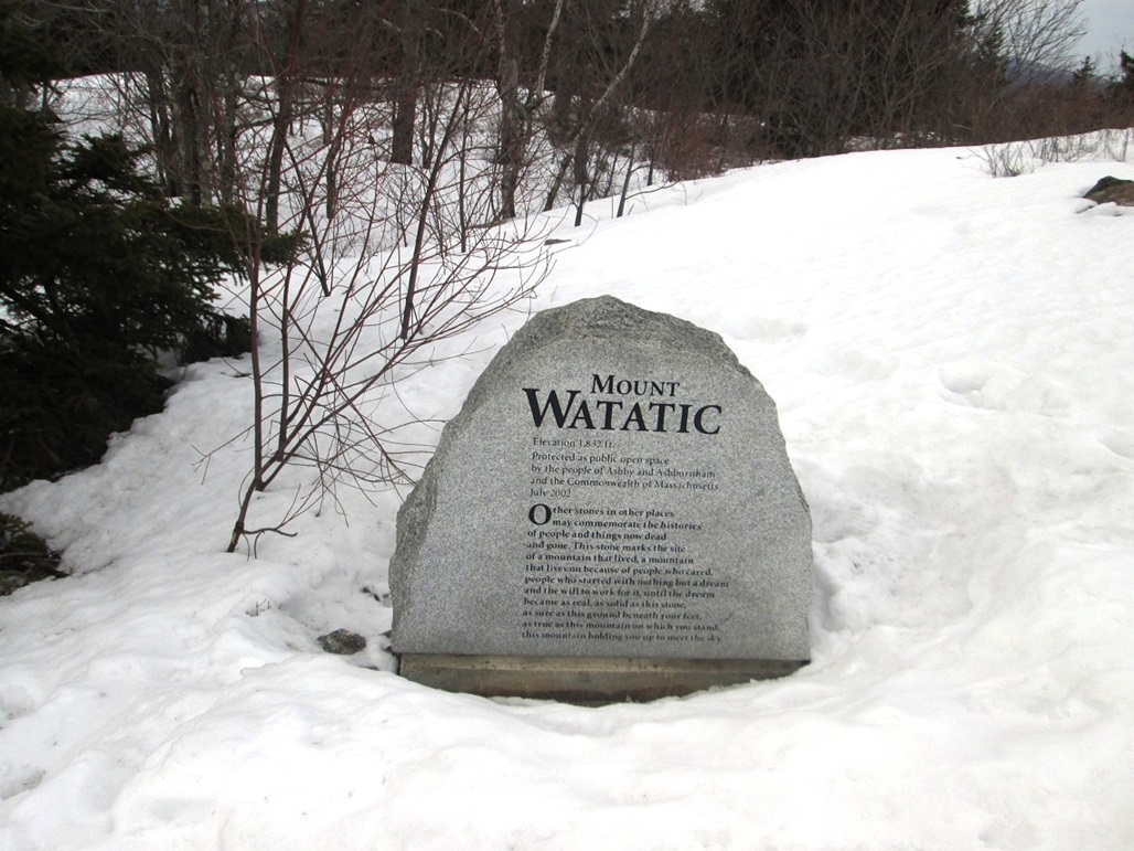
Watatic Mountain & Nutting Hill |
• Highpoint: Middlesex County (Nutting Hill E. Slope) • Highpoint: City of Ashburnham (Watatic Mtn) • Highpoint: City of Ashby (Nutting Hill E. Slope) • Ashburnham State Forest - Wapack Mountains |
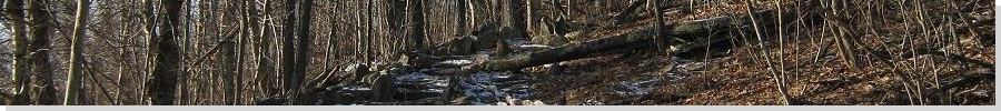
 Hiking up the "Stateline Trail", the sun broke out for a few moments!
|
Date: March 11, 2015 • Elevation: 1,620 feet (Nutting Hill), 1,585 feet (Middlesex CoHP), 1,831 feet (Watatic Mountain) • Prominence: 110 feet (Nutting Hill), 10 feet (Middlesex CoHP), 502 feet (Watatic Mountain) • Distance: 4 miles total • Time: 1 hour, 30 minutes • Gain: 900 feet total • Conditions: Cold and snowy at first, sunnier and warmer later on
Main
•
PB (Watatic Summit)
•
PB (Middlesex CoHP)
I found myself in greater Boston again, shooting more videos for my book, like I did two years ago. This time, I was in Concord, about 30 miles northwest of the airport. I took this opportunity to consider a couple county highpoint hikes: Mount Watatic, which contains the highpoint of Middlesex County, and Pack Monadnock Mountain, just over the state line in New Hampshire. Both are part of the Wapack Mountains and not too far from Concord.
I was able to finish my filming duties on Friday, leaving today, Saturday, open for hiking, but the weather and the general conditions were not ideal. Record snow had fallen in and around Boston this winter, and most of the ground was covered in it, a couple feet in places. And it so happened that a small system was moving through while I was here, dropping more snow.
I drove from my hotel toward Mount Watatic earlier this morning, but bailed and returned to my hotel as the snow was falling enough to cover the roads. Actually, it wasn t too bad, but I was concerned about things like ice, or the condition of the trails, and some possibly steep grades. Long story short, I didn t get moving again until noon, this time going north first toward Pack Monadnock Mountain. That hike was a success, so here I was now, back in Massachusetts, following state route MA-119 southeast toward Mount Watatic. It was about 3 p.m., the conditions much improved, temperatures about 40 degrees F, all snow from this morning having been cleared off, salted or melted on its own.
I drove to the Midstate Trail parking area where highway MA-119 crests just south of Mount Watatic. The parking area was hemmed in by snow, but there was enough room for about six cars. I wedged in between two other cars, and started my hike about 3:15 p.m.. The trail here is signed as the Midstate and the Wapack Trail, heading north from the parking area. I travelled light, carrying just my rented snowshoes and my camera. I did not put on my snowshoes yet. The ground was mushy enough so that my hiking shoes were adequate. I did not posthole, nor was it icy. I had ideal snow-hiking conditions.
The trail runs north and stays level, crossing a marshy area, which for now was under a lot of snow. After about a quarter mile, the trail comes to a junction. The Midtstate and Wapack Trail goes right, directly for the summit of Mount Watatic. I went straight, now on the Stateline Trail, which said that New Hampshire was just 0.9 miles to the north. The path here was excellent, and I was able to scoot up it quickly. I met some women and their dogs hiking down. We talked briefly, then I went on my way. After about 15 minutes, the trail curved east and met with the Wapack Trail again, now north of Nutting Hill and about a mile north of Watatic s summit.
(The nomenclature of the trails is slightly confusing. The Wapack Trail starts at the parking area and traverses the Wapack Mountains all the way north to Pack Monadnock Mountain. The Midtstate Trail apparently starts somewhere else and ends somewhere here, and for a brief section, coincide as one trail with the Wapack Trail.)
Now on the Wapack Trail, a left would have taken me north, downhill to the state line, and a right uphill toward Nutting Hill. This is all inside Worcester County, by the way. The Middlesex County line cuts cross the range s east slopes about a thousand feet east of the trail, and its highpoint is a low hill in the forest. However, I chose to hike up Nutting Hill to better gain my bearings. I met a couple guys who were coming up from the other way, from Watatic Mountain. Based on their descriptions and my map, I was able to determine for certain my position. Although I was clearly on a hill, the snow hid important ground clues I might need to venture off-trail for the Middlesex county highpoint. Now I knew exactly where I was.
I decided to descend back down north, the way I had come up, back to the junction of the two trails. From here, I snowshoed east into the trees. The snow here was untrodden, and although it was crunchy and icy, it was soft in a few spots too. Postholing was possible, so the snowshoes were vital here. Plus, I was creating a path as I walked, so that exiting wouldn t be a problem.
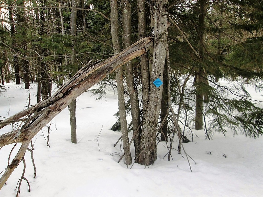
I hiked by sight east, dropping about 30 feet of elevation, then ascending about 10 feet. I just kept walking until I sensed that the ground was dropping again. I was looking for a low stone wall that apparently is the county line, but the snow hid all such forms. But I got lucky: I found a blue diamond marker nailed to a tree, marking the boundary of the Ashburnham State Forest, which should agree with the county line (said the map). To be sure, I walked around and found another such marker, allowing me to establish a line between the two. Then I walked between the two, trying to stay high whenever possible. A big multi-trunked tree between the two markers seemed to be on highest ground to me.
I did not see the stone wall, but I did see a long swell in the snow that must have been covering the stone wall. With my bare hand, I dug into the snow about 18 inches, to see if I would reach a stone, but I gave up after my hand got very cold and I still had not reached the stones. The blue markers on the trees were good enough. I was most definitely at the right place. I snapped one photo, then retraced my trail through the snow back to the main trail.
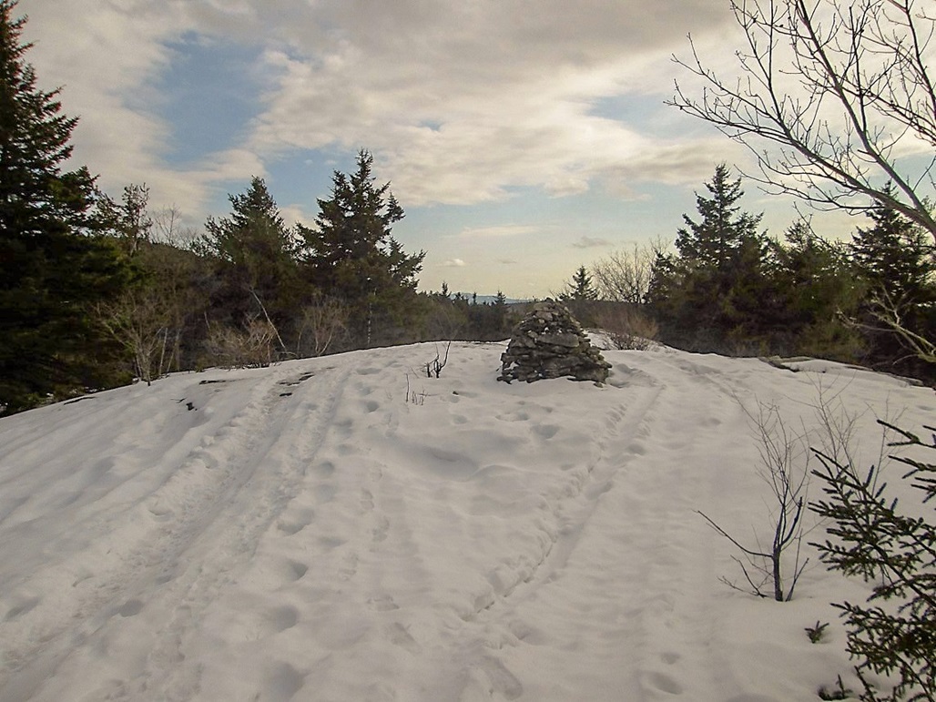
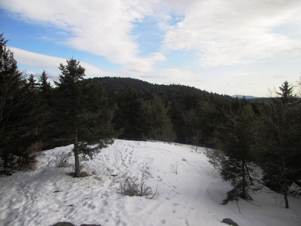
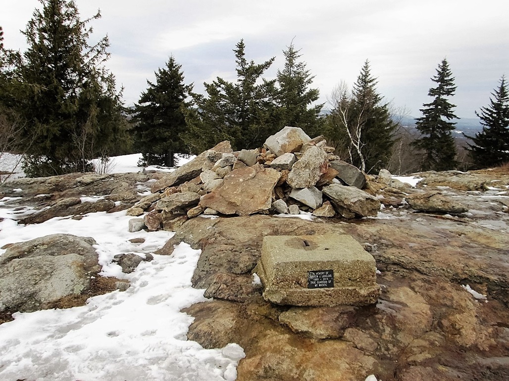
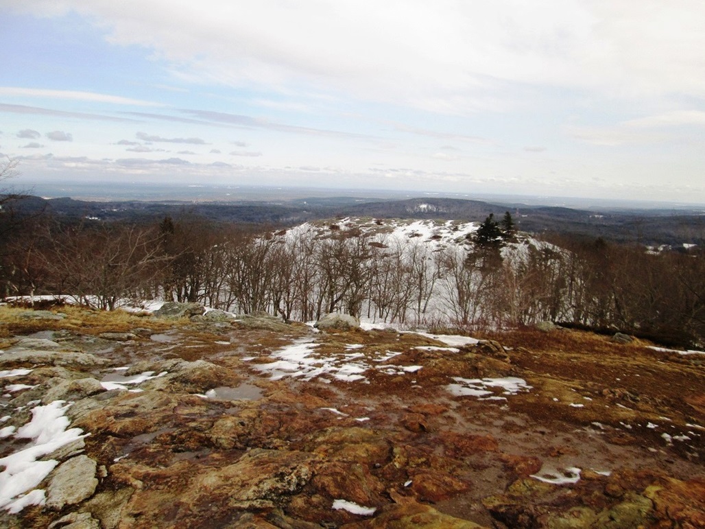
I re-ascended Nutting Hill, then decided to continue on to Mount Watatic. The trail drops about 100 feet to a saddle, then starts up to the top of Mount Watatic, gaining about 300 feet, all this in about a mile. I did not see anyone on this stretch, and I was on the summit a little before 4 p.m.. The top is bare rock, and I stopped briefly here to snap some images and look around. Conditions were nice, but if I stopped, then I got chilled.
I descended by following the Wapack Trail steeply down the south-west facing slopes of Mount Watatic, trusting that the blazes on the trees would not lead me astray. The path into the snow was well-trodden, but there were a couple spots where it grew weak. Nevertheless, this worked well. I covered the downhill in about 20 minutes, and was back to my car by about 4:30 p.m.. I figured I covered four miles, including all my detours. Down low, I saw a lot of people (and dogs) on the trails.
I was very happy, and a little surprised, that I was successful on this journey, especially after this morning s drama. I was surprisingly beat, too. The two hikes had totaled about 7 miles, and snowshoeing can be tiring since it s extra weight on the feet (not much) and requires one to walk with a slightly unnatural gait (I must have kicked myself a dozen times with my own snowshoes today).
I piled into my car, and drove the thirty miles back to Acton, where I dropped off the snowshoes at the Eastern Mountains Sports location. They were really cool people and I recommend them to everyone.
Back at my hotel, I showered, ate a meal and went to bed at 7:30 p.m., partly due to being tired and also since I had to be up at 2 a.m. to get packed and drive myself into Boston for my very early flight home to Phoenix the next day.
|

|