County Highpoints of Massachusetts
• www.surgent.net
|
. . . . . Sunrise Hill
. . . . . Manomet Hill
|
Wachusett Mountain • Sunrise Hill • Manomet Hill Prologue: I was in Boston for a couple of days to film on-line video content as part of my calculus textbook on which I am a co-author. I had flown out Monday the 4th, and stayed in Lowell, a suburb about 25 miles to the northwest. The 5th and 6th were spent shooting all the videos, which was tiring, but productive. We were able to finish them late yesterday, leaving the first half of today open. I had not visited a county highpoint since my last time in Massachusetts in 2010. I came prepared, with maps of a few nearby highpoints "close" to Boston. The weather had been cold but not too bad, with lows in the teens and highs in the 30s. Other than one weenie snow flurry, it had been still. In fact, today started out sunny and calm, with a few high clouds. The outside temperature when I left Lowell was about 20 degrees Fahrenheit. However, with no wind, it was tolerable.
Date: February 7, 2013 • Elevation: 2,006 feet • Prominence: 930 feet • Distance: 2 miles • Time: 1 hour • Gain: 600 feet • Conditions: Clear and extremely cold
Main
•
PB
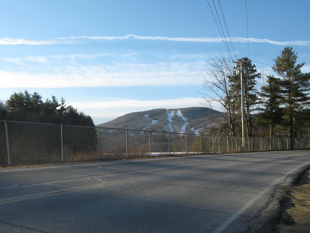
My primary interest was Wachusett Mountain, but I was not sure how far it was from Lowell, having no real sense of the layout of Boston. However, I was pleased to see that it was only about 35 miles away. Not so far off that it would take me two hours to get there. So I left at 7 a.m. and took Interstate-495 and MA-2 west to the town of Fitchburg, then south on state route MA-140 toward Wachusett Mountain. The mountain is home to a popular ski area, with runs nearing 800 vertical feet. The recent weeks had been dry so there was not much snow on the ground. However, the ski slopes were all white, with man-made snow.
I missed a turn in the morning light, but corrected my error and found the Wachusett Mountain State Preserve building on the west side of the mountain. A couple cars were already there. No one was in the building yet, so I got some coats on, grabbed my camera, and started the hike. Higher up than Lowell, the temperature was now about 15 degrees, going by my car's thing that tells temperature. But it was still and calm, so it was actually very nice.
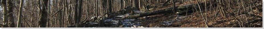
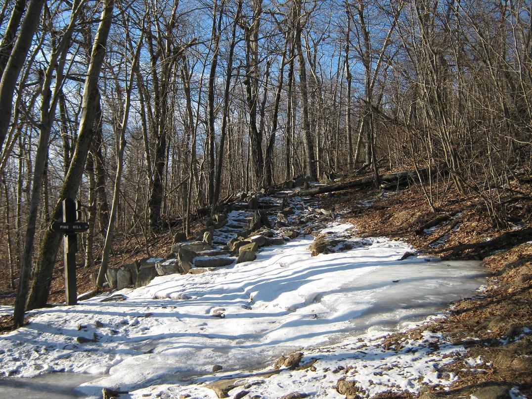
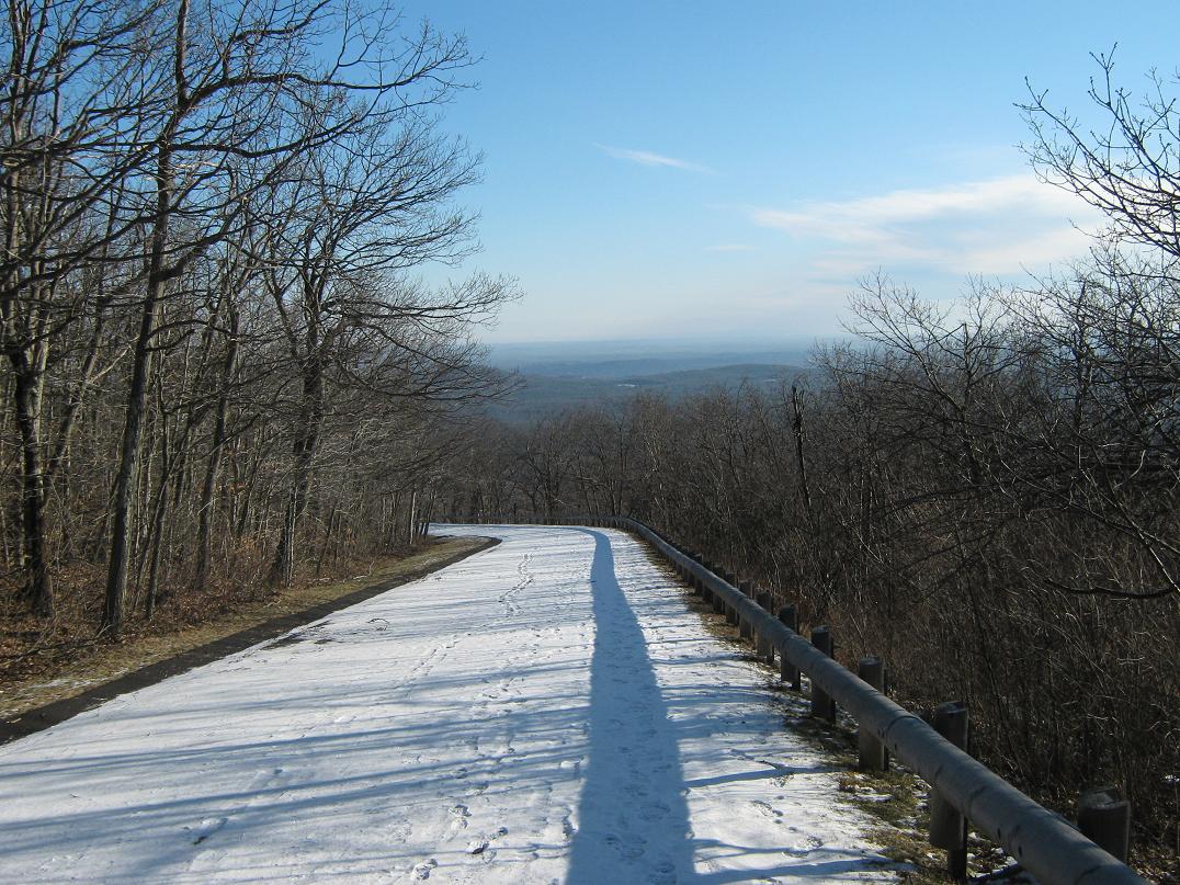
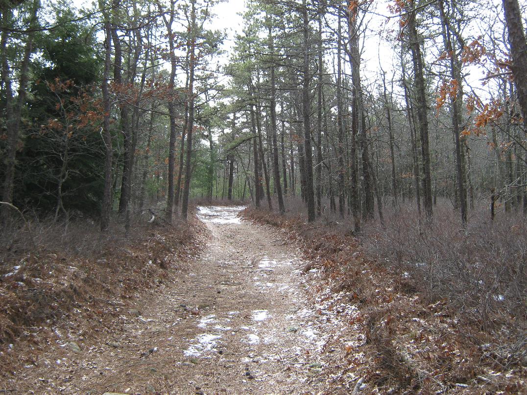
I found the Bicentennial trailhead and followed it south (left) for about 200 yards through open forest, bare of leaves given the time of year. The ground was bare in spots, patchy snow in others, and sheets of ice here and there. I met two women coming down from their hike and we chatted. After parting ways, I slipped and landed on my side, caught by a patch of ice. Note to self: lookout for the ice.
The junction with the Pine Hill Trail was not much farther, and I followed it straight up the slope. The trail is composed of big rocks heaped into stair-steps, lined with similar stones forming a low wall. The rocks, being heat sinks, held more snow and cascades of ice than the surrounding slopes, so I ended up walking alongside the trail for most of the way, generally poking my way through side trails and open areas to avoid the ice and snow. I did not slip at all, but came close a couple times.
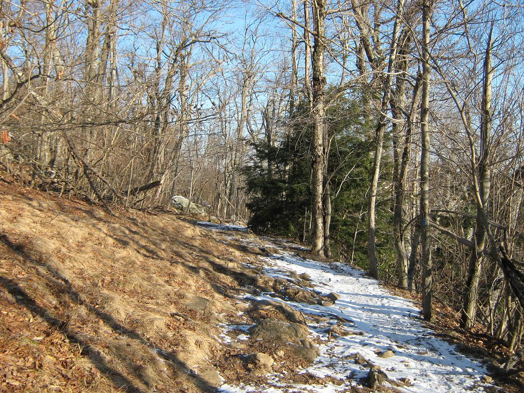
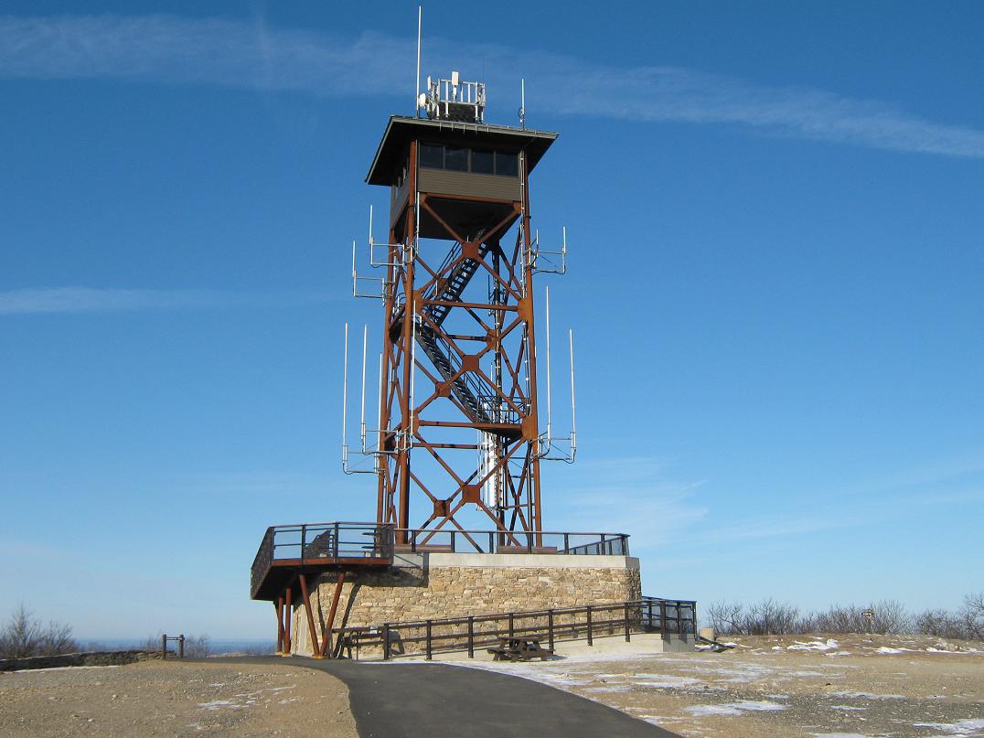
After about 450 feet of elevation gain, the trail meets a paved road. Outside of winter, you can drive this from the park headquarters. The trail continued past the road, but I opted to walk the road the remaining distance to the top to avoid the ice. Shortly, I arrived on top, the whole area bare of trees, crowned by a big lookout tower. The top was empty: no cars nor people. There was a soft breeze, that combined with the low temperature, made for slightly uncomfortable conditions. I walked up the last of the road to the summit, a low outcrop of bare rock.
I looked around and enjoyed the views, but kept moving. I snapped a few photographs, but just as fast, resumed my walk down, retracing my route exactly. The Pine Hill Trail segment went well, as I took each step carefully and walked in a low crouch to offset any sudden slips. Within an hour from starting, I was back to my car. The hike had been a delight, and I was happy to have had good overall conditions. It's rare for me to hike in temperatures anywhere near the teens, so this was a new experience for me, too.
From here, I backtracked onto the highways for more highpoint explorations.
I noticed on my visit that everyone mispronounces "Worcester" as "woostah". This is incorrect. You should pronounce all syllables, like "Worr-sess-terrrr", really dragging out those r's.
Date: February 7, 2013 • Elevation: 390 feet • Prominence: 79 feet • Distance: 0.2 mile • Time: 20 minutes • Gain: 20 feet • Conditions: Very cold
PB
From Wachusett Mountain, I followed state route MA-2 back east to Interstate-495, then that freeway south about 30 miles. I exited at state route MA-1-A near the city of Attleboro, then followed that through some business and residential areas to its junction with US-1. I went through the intersection and onto Elmwood Street to the World War I Memorial Park & Zoo. In all, the drive took an hour, and the weather was holding steady. Very cold, but clear and calm, temperature about 25 degrees Fahrenheit.
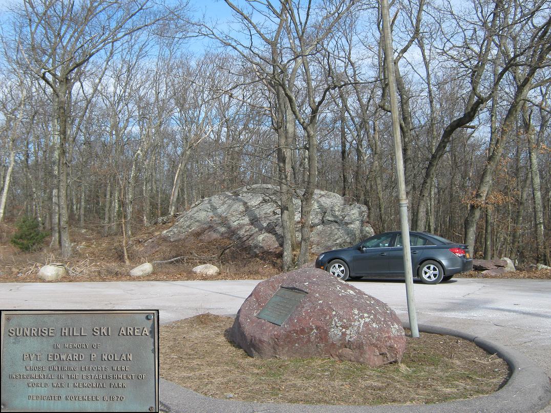
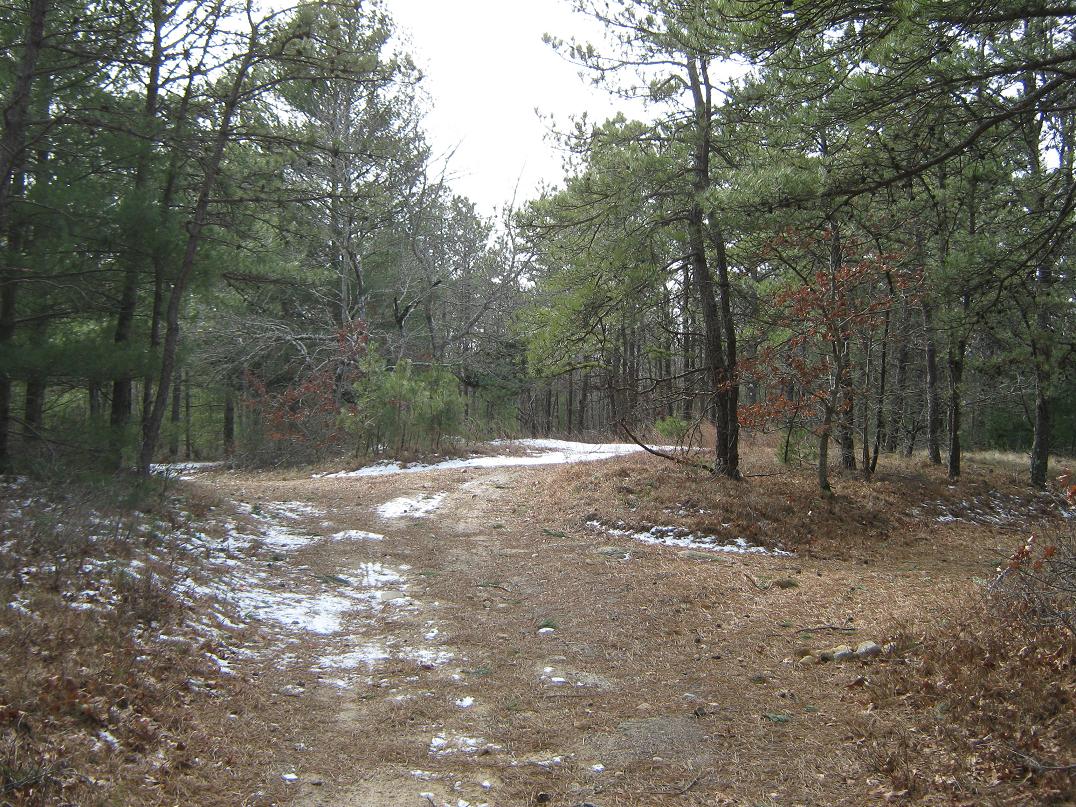
I followed the road counterclockwise through the forested hilltop, going about three-quarters of the way around before coming to a parking area near a fire lookout tower. The highpoint is nearby, and could be any one of four competing hilltops or rocky knobs. A kid's playground was across the way, but other than a lone jogger, I saw no one.
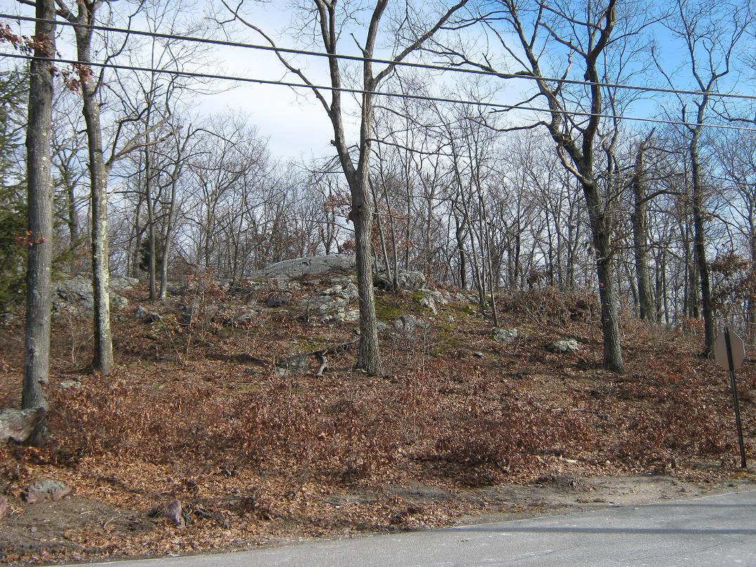
One rock outcrop sits beside the parking area. The climb up was simple, but by inspection, it is not the highest point. Instead, another rock outcrop that sits about 50 feet north of the lookout tower seemed higher by possibly five feet. This climb took less than a minute from the road. The rock was bare except for snow in the nooks, and ice in spots. From this rock knob, two other areas, one across the road in a picnic area, and the other in the woods to the east, look possibly as high. I inspected both.
I walked to the one in the picnic area first. It looked a couple feet lower than the rock knob. Then I walked to the one east in the woods. It too appeared lower than the rock knob by the fire tower. Since the whole endeavor took 15-20 minutes, it was easy to visit them all. However, I am certain the rock knob by the fire tower is the highest.
There is a small plaque near a flagpole in the parking area mentioning the World War I Memorial, but actual memorials are few and far between. It's a nice, hilly wooded park, but not the big memorial that I for some reason envisioned it to be.
Date: February 7, 2013 • Elevation: 395 feet • Prominence: 345 feet • Distance: 1 mile • Time: 30 minutes • Gain: 110 feet • Conditions: Cold
PB
When I finished my visit at Sunrise Hill in Bristol County, it was 11:30 a.m., and I didn't need to be in Boston until about 2 p.m., so I drove east toward Plymouth to seek out the highpoint hill, Manomet Hill, of Plymouth County.
From Sunrise Hill, I followed US-1 back to Interstate-495, then exited onto US-44, which heads directly to Plymouth. The drive went well, but long stretches of US-44 are single-lane and we were slowed by a couple of trucks. The drive from Attleboro to Plymouth took me about an hour, covering about 30 miles. In Plymouth, I followed state route MA-3 south a few miles then exited onto route 3-A for another two miles. By now, I was essentially beside the coast, but the countryside was heavily wooded.
The road crosses over the north slopes of Manomet Hill, with a few gated side roads leading off to the top. The topographical map showed just one road, so I was already confused. I parked a few hundred feet beyond the crest of the road in a small parking lot for a bike shop. I asked the guy in the shop if I could park there while hiking and he had no problem with that. I still had calm, cold conditions, with sun and some high wispy clouds.
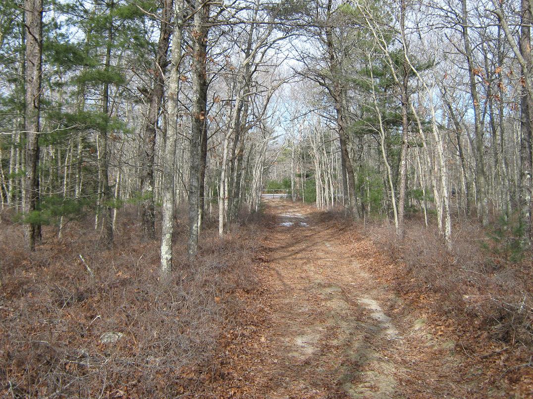
I walked back along MA-3-A about 200 feet to a trail jutting off at an angle to my intended road, the one shown on the map. In moments I was on this road, which is supposedly "posted" against trespassing. However, the light remnant snow on the ground showed plenty of footprints and bike tire tracks. I figure the locals walk and hike here all the time.
The walk up this road went fast, and in about 10 minutes I had covered the 100 feet of elevation gain and half-mile to the top, a cleared area where the road forms a loop. The top was bare, with patchy grass, a few rocks and a little trash. The trees were high enough to block any views. I stuck around to tag the highest spots and take a photo, but as soon as I was done, I started the walk out.
Back to my car, I now needed to get to Boston and the airport. I got my bag in order, filling the rental car with gas, and cleaned up. The drive into Boston went well, and I managed to follow the maze of roads and signs to the airport and car-rental return. The flight home was long and tedious, but I was glad to be home, and happy to have successfully visited three county highpoints, my first since 2010, the last time I was in Boston.
A day after I left, Boston was slammed by a massive blizzard, dropping two feet of snow, the worst storm since 1978. In the days prior, this was all over the news in Boston, and it was all everyone talked about, even at the studio where I shot my videos. While driving the highways today, the state patrol had positioned mobile electronic signs everywhere warning people to stay home, stay off the roads, and so on.
So I was at the airport, sitting in the gate area waiting to board. Two women nearby started talking. One said to the other "It's a good thing we're getting out of here before the big storm." The other one said "What storm?". Geez. Some people really are that inattentive and dense. How could she have missed all the warnings? I really wanted to lean over to her and say "pull your head out of your..." but I kept my mouth shut.
|


|