The Mountains of California
www.surgent.net |
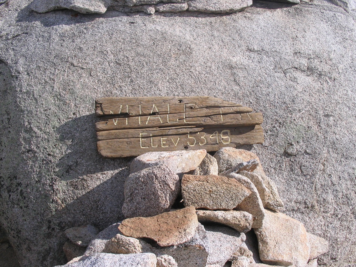
| Whale Peak |
• Highpoint: Vallecitos Mountains • Anza-Borrego Desert State Park • San Diego County |
|
Date: March 12, 2008
• Elevation: 5,349 feet
• Prominence: 2,700 feet
• Distance: 10 miles
• Time: 13 hours
• Gain: 2,200 feet
• Conditions: Warm and clear day, cool night
California
•
Main
•
PB
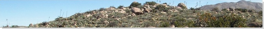
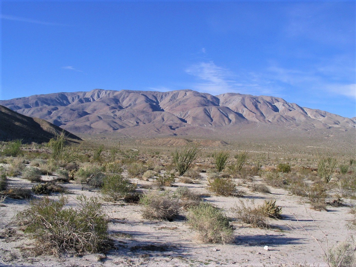
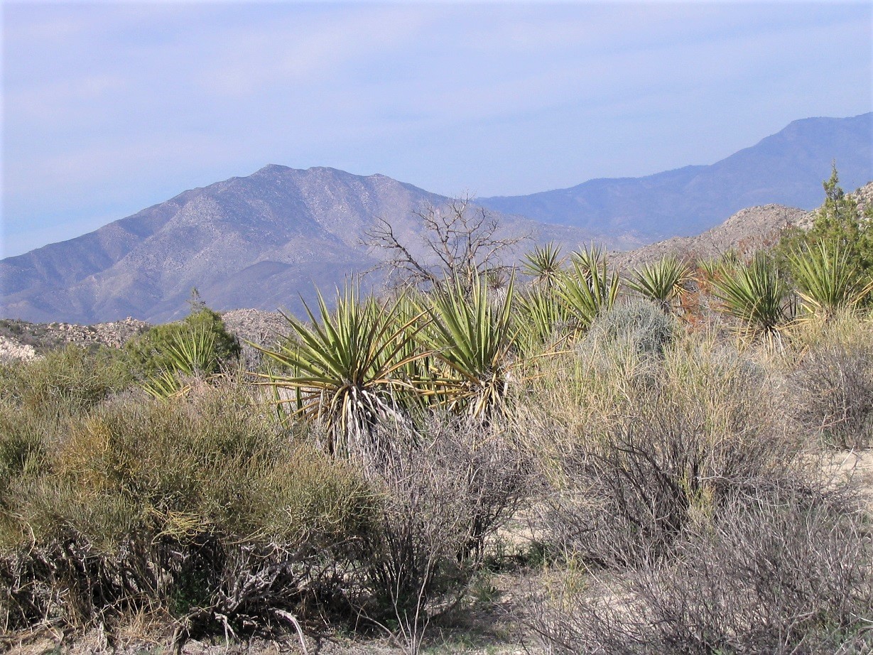
Whale Peak is the most visible and prominent (if not necessarily the highest) mountain in the Anza-Borrego Desert State Park. The massive peak rises over 2,700 feet above the deserts and is one of the finest desert hikes in the state. The access requires a good 4-wheel drive vehicle, the trail is a meager track through the higher terrain, and the final climb is a moderate scramble up large talus blocks.
βð and I travel to Anza about once a year, and on a previous visit at the Agua Caliente Hot Springs, we had unobstructed views of the mountain with a smattering of snow on its highest ridges, even though temperatures where we were approached 90 degrees. For this year's trip, we set aside a day to hike to the summit. We left our home and arrived to our campground site at Agua Caliente Hot Springs, arriving as dusk fell. We planned to hike Whale Peak the following day.
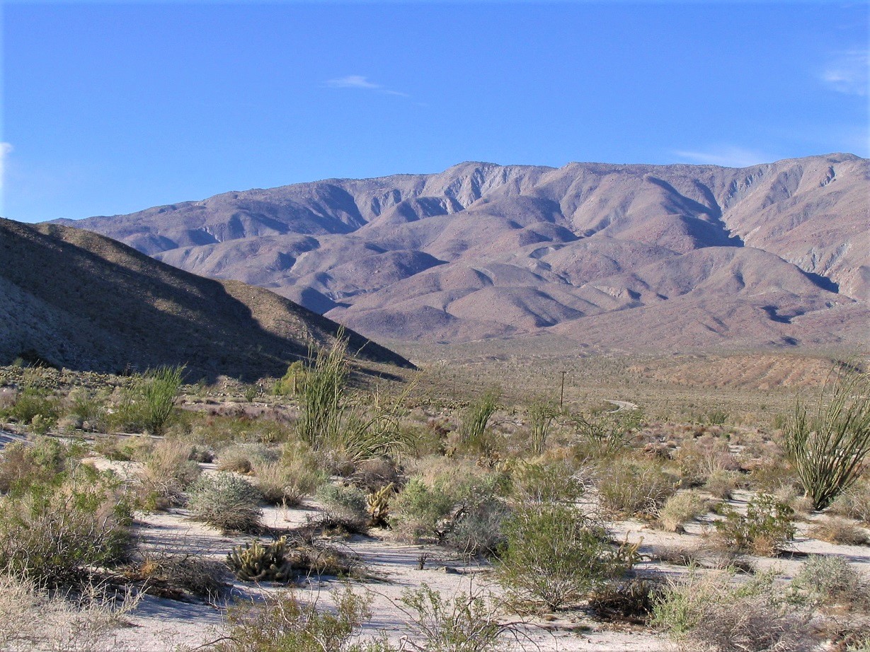
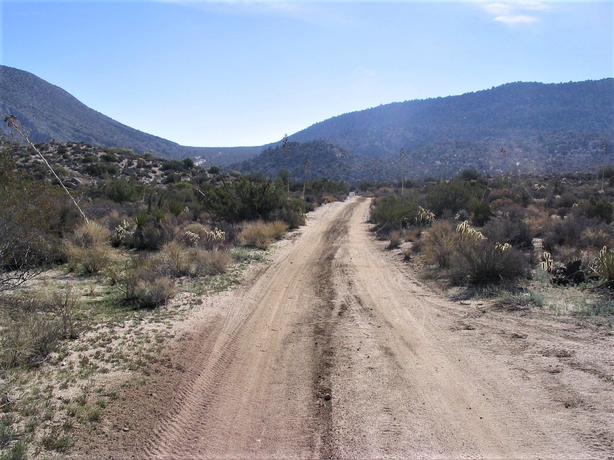
The next morning, we drove the Imperial Highway to the side road called Pinyon Mountain Road, which wiggles up the spine of the Vallecitos Mountains. The road was sandy but not too bad. A little farther in, we came to a rocky segment, and as I tried to ease the truck over one rock, I landed in such a way that I had no traction to proceed. I had "high-centered" myself, with about one inch of clearance above the offending rock. Ugh. So I started to pile rocks and dirt and whatnot below my front wheels. We did this for about an hour and it was getting hot. Then, a sandrail come rolling up, and the guy was nice enough to hook a tow-line to my truck, and yank me off of the rock, My thanks to this fellow! Well, we were now hot and sweaty, and in no mood to chance the rocks again. We were a couple miles farther out, still within hiking distance, so we decided to bail and come back tomorrow. We spent the rest of the day back at camp being lazy.
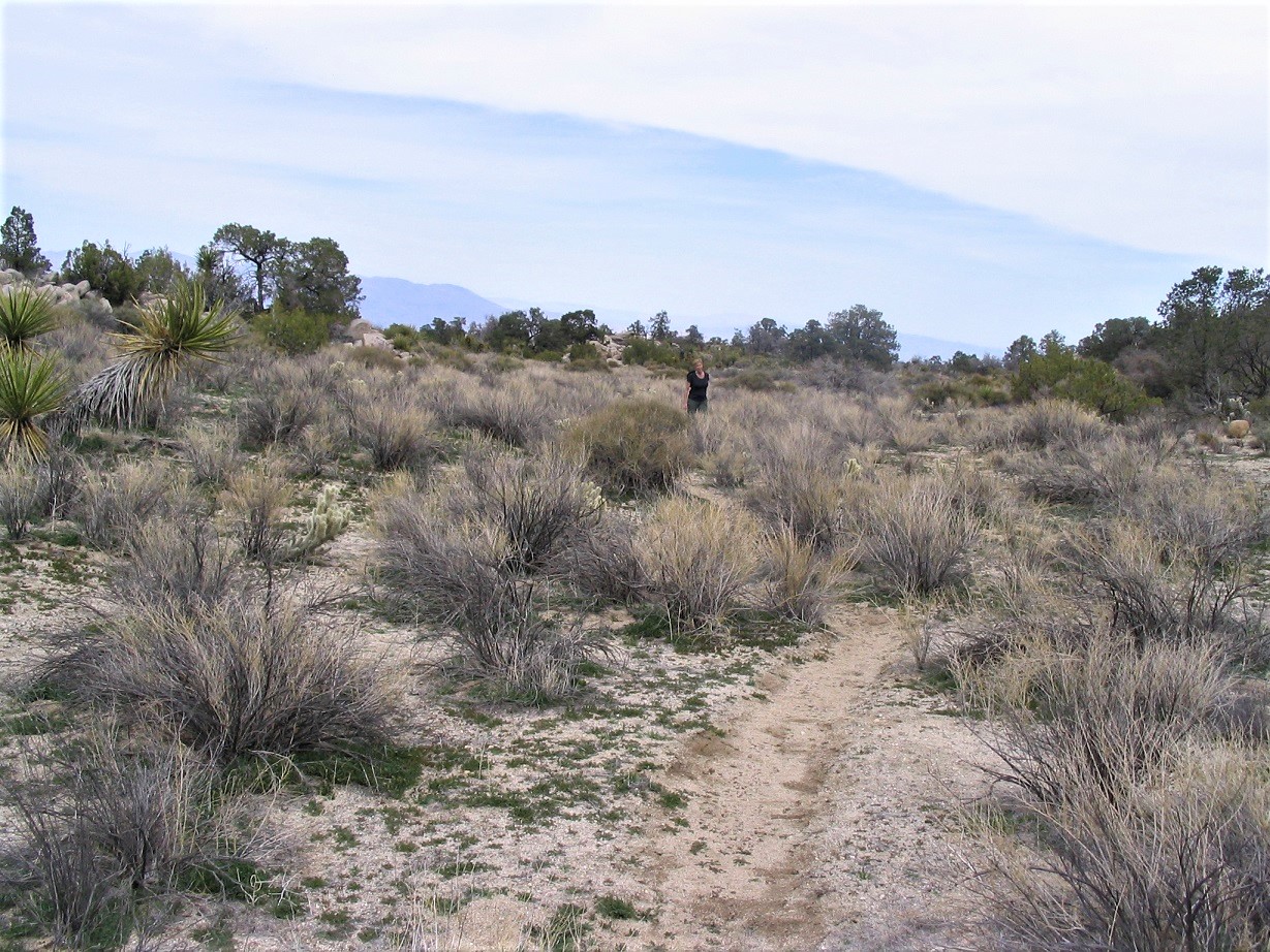
The next day (today), we were back, and I parked in a clearing not far from the rocks from yesterday. We started the hike at 9 a.m. in clear, warm conditions. We were about 4 miles from the top, with an extra mile or two including twists and turns. We hiked up the road over a pass, then down into a beautiful basin. We continued our walk, covering two miles to a second rise. It took us about two hours to get here. After a break, we followed a side road south toward the rocky foothills, then up a rock drainage to top out on another elevated mini-plateau of desert scrubland. We encountered one snake along the way.
βð was holding up well but struggling with her ailments. Her determination is second-to-none, and she gutted out each step in spite of the terrific pain it caused her. Whale Mountain meant a lot to her as she used to visit Anza often while living in San Diego many years ago. However, she was moving slow and we took many breaks. I kept track of the time and felt that we could make it up and down at our current pace, but it might be sunset when we return to the truck. It was a calculated gamble on our part. I wanted her to succeed too.
The next segment of trail was generally flat, aiming for another slope ahead of us. Along the way, we saw another trail that came up to our trail, coming up a different side-canyon than the one we had ascended. We had no idea how salient this observation would be later in the day. We continued forward.
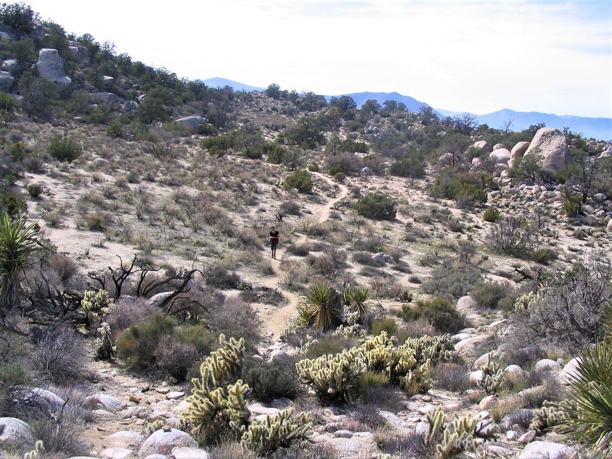
We made it up this slope onto another section of flat ground, but we were moving very slowly. Yet we were actually very close, perhaps a mile from the top, and it was about 1 p.m. At our pace, it might be 3 p.m. when we got to the top. I had resigned myself to the assumption that we'd be walking out the last couple miles of road in the dark. I was fine with that. We took another break just before a segment where the trail dropped a few dozen feet. This is where the Petroglyphs Trail meets our trail from below.
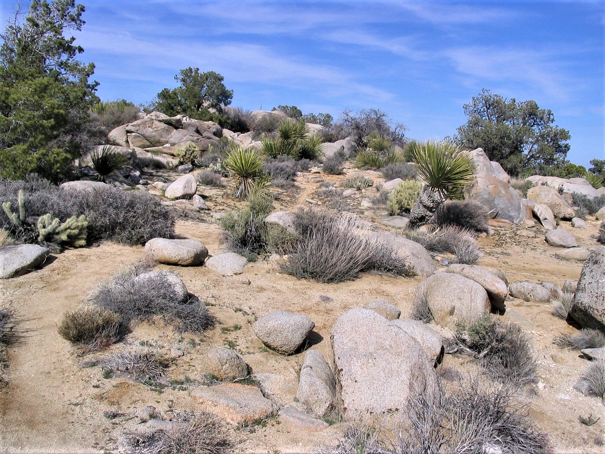
We dropped to the low point, then up the other side, then after dodging rocks and brush, emerged onto still another flat section, the summit now directly ahead. We convened at the base of this section, then started up the rocks. Here, the scrambling was straightforward and never too severe or exposed, but it took some time to plot a way through the rocks. I topped out above these rocks. The summit was a flat 200-feet of trail up ahead. I dropped the pack, ran to the top rocks, tagged it and anything else that looked like contenders for the summit, got a shot of the withering wooden marker, then bolted back for βð.
It was nearing 3 p.m. and she had about had it. The large talus did her in. Her pain was so great that she had great difficulty in gaining sure hand- and foot-holds. She was about 100 feet below the top and had, for all intents and purposes, stopped. I tried to help her through some sections, but by now, our slow pace had become too significant to ignore. To this point she had endured her arthritic condition heroically, and had the final section been like what we had hiked up, she would have been fine. But it was just a shade too much for her, and after some heart-felt discussion, we decided to turn back.
Obviously, this was not in our plans, and I felt awful. I know how much she wanted the summit, and yet, we had to realize that she had hit her wall. I estimate it would have been another hour from her position to help her through the talus. That would have been a 4 o'clock summit time. My bigger concern was that we'd be hiking out the tricky rocky sections in the dark. βð's knees and ankles were tenuous at best, and we felt it wise to get started down now. To say B. was disappointed was an understatement, and I felt sick for her.
She has been battling a variety of ailments for a number of years now. Although the ailments "started" many years ago, and some of it may be genetic, the real bad issues started up in 2005. Since that time, we had been able to hike a few peaks together. We learned a lot about bandaging, ways to manage her pain, ways to mitigate the problems so that she may hike and anjoy one of her favorite pastimes. I cannot state strongly enough my respect and amazement at her inner strength. To get to where she got today was remarkable given her condition.
The hike down was excruciatingly slow. We were moving at a snail's pace, and then, on that slope above where the two trails met that I mentioned earlier, she took a bad spill, throwing her back out. By now, it was well into dusk. I helped her up, assessed her (lots of scratches), then assisted her gingerly down this slope and back onto the lower flat section. We could have proceeded more northwest toward the small side-canyon we had ascended earlier, but the better-looking trail that went to this other canyon looked so good, we surmised it would be better to go that way.
She could barely walk, and we had to figure out a plan to help her move forward. We needed to get down about 300 vertical feet in about a half mile to get below these canyons. From there, it would be all road, albeit a couple more miles, back to the truck. Hell, I would piggy-back her that whole way if need be. Splitting up (e.g. me going ahead to get the truck) was out of the question. At this pace, I figured we'd be back to the truck sometime after midnight.
On the flat ground, we developed an effective plan: she would hug me from behind, me bearing her weight, and baby-step forward as I stepped forward. This went slow, but it worked. By now, the sun had set. It was a mild night with a half-moon, and within a few minutes, any concern about "hiking in the dark" went away. We had flashlights, food, water, and basic gear to bivouac a night if necessary.
We came to the top of this second canyon. I would walk ahead a few feet, scout a route, then come back and have her hug/hold me while we walked down this canyon. Some parts required a little butt-scooting down rocks, and she could do that fine. I would go below her and guide her down. Then we'd repeat. It was slow, but it was clearly going to work. In about an hour, we had descended half the canyon. We could tell by the bends that we were getting closer to its mouth.
Then we heard a holler and saw a flashlight up ahead! I sat her down and walked down to meet this person, who had heard our crashing and bashing and came up to inspect. He immediately offered to assist us, and in doing so, greatly expedited our time down the last remaining section of canyon. His name was Chris, and he was encamped at the mouth of this canyon. Chris and I helped walk her out to his vehicle, where he graciously offered to drive us to my truck down the road. I can't tell you how grateful we were for this! It would cut off easily 2 or 3 more hours of walking.
We piled into Chris' vehicle. I did not realize how tired I was until I sat in the passenger seat and nearly melted into it. The drive back to our truck took just a few minutes. He let us off, made sure we were good to go, and we thanked him about a million times. I gave him $20, all that I had in my wallet, as thanks and for the wear and tear of his vehicle. Had I had $2000, I would have handed it over to him. What he did was wonderful, and we owe him our deepest gratitude.
It was about 10 p.m. and getting kind of chilly. We got into the truck, started up the heater, then just sat there, both of us utterly exhausted. I then put it in gear and drove us back to the campground, where we arrived a little after 11 p.m. We sat some more in the cab. She was dead asleep where she sat, while I eventually got situated in my sleeping bag in the tent. I was hungry, exhausted and dumb-founded. The day's events had been so surreal, I just sat there and tried to take it all in. I had eaten very little, and coming down from the adrenaline, I was very-near to a complete crash. I slept deeply that night, and so did she.
The next three days were recovery days. We broke camp the next morning and drove toward the Salton Sea, stopping in Brawley for groceries before driving to the Fountain of Youth Spa, which caters mostly to older retirees and the RV crowd, but they had tent sites near the pools and hot tubs, and that was good enough for us. We didn't do much of anything the two nights we spent there. We slept most of the first day of our arrival. I spent all of the second day reading a book while βð slept and relaxed. I continued to be surprised at how low my energy was. Plus, I was sore everywhere: all the dings and scratches and pulled muscles were now being felt. She could barely walk, but her back slowly healed so that within three or four days she could walk again without too much trouble other than the achy pain. We drove home on Saturday.
Looking back, we got lucky. We weren't lost, but we traveled too slowly and assumed the hike would go faster than it did. We knew we were behind schedule and it was no surprise that we were out after dark, despite the fact we knew exactly where we were at all times. I commend βð for being so strong and persistent under these conditions and in spite of her pain. Obviously, having Chris there to help us made a huge difference. We shuddered to think of the 2.5 mile walk back to the truck in her condition. We would have made it eventually but I wonder what condition we would have been in afterwards.
Lost in all this narrative was the spectacular scenery of Whale Mountain, the beautiful high-desert, rocks and brush, high enough to be a little more lush than in the valleys below. The hiking route to the top is easy to follow, and enough people have come here so that the use trail is as good as any maintained trail. This is a wonderland of desert up here, a truly magnificent, well-hidden little part of the world.
This would also be our last big hike together. A couple months later, we would hike Big House Mountain in Virginia, but that hike is a lot shorter and follows an old road most of the way. We still camp and explore trails together, but the bigger hikes, unfortunately, are no longer possible. I have learned a tremendous lesson, which is to appreciate everything, no matter how trivial, because it can be taken from you in a moment. I continue to hike my peaks, but it's just not the same without her, and it never will be.
|


|