Sinkyone Wilderness: The Lost Coast
Mendocino County, California • May 23, 2003 |
|
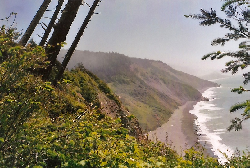
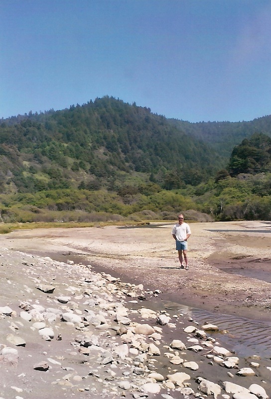
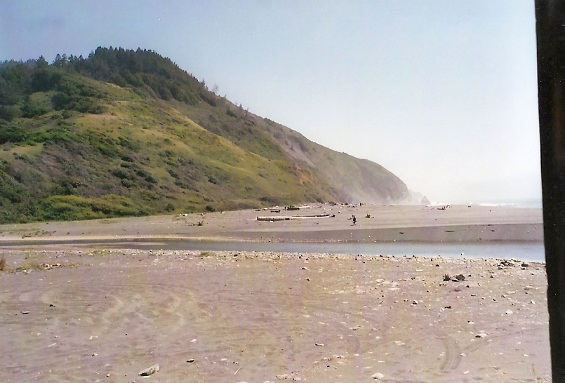
Sinkyone State Park stretches for about 25 miles along the Pacific Ocean coast, in northern Mendocino and southern Humboldt counties. It is known as "The Lost Coast", as its ruggedness has staved off development to this day. Highway CA-1, which literally hugs the coast from Southern California all the way up to the Oregon border, veers inland from the coast at this point, simply because the engineers could not hew in the highway so easily in this cliff-laden coastline. A few tenuous and sketchy dirt roads enter the region, but for the most part, the only access to much of this land is by foot.
We came down CA-1 from Leggett and US-101, where we took a side trip to drive through a redwood: a tunnel having been bored through the base of an enormous redwood. Coming down CA-1, we missed the turnout to Usal Road, which is the road into the southern Sinkyone Wilderness. We realized our error when we got to the coast itself. The turn out wasn't well-marked as Usal Road, as it's called on our maps. Instead, it's known as FR-431, and only spray painted "Usal" on a nearby post. In any case, we came back up and found it, and started in.
We drove 6 miles up the steep and twisty dirt track, often one lane wide with blind curves. At one point we made a turn and found ourselves about 800 feet above the surf and literally cliffs below. Finally, 6 miles of slow rolling got us to the trailhead. Many people were already here, in preparation for the Memorial Day weekend.
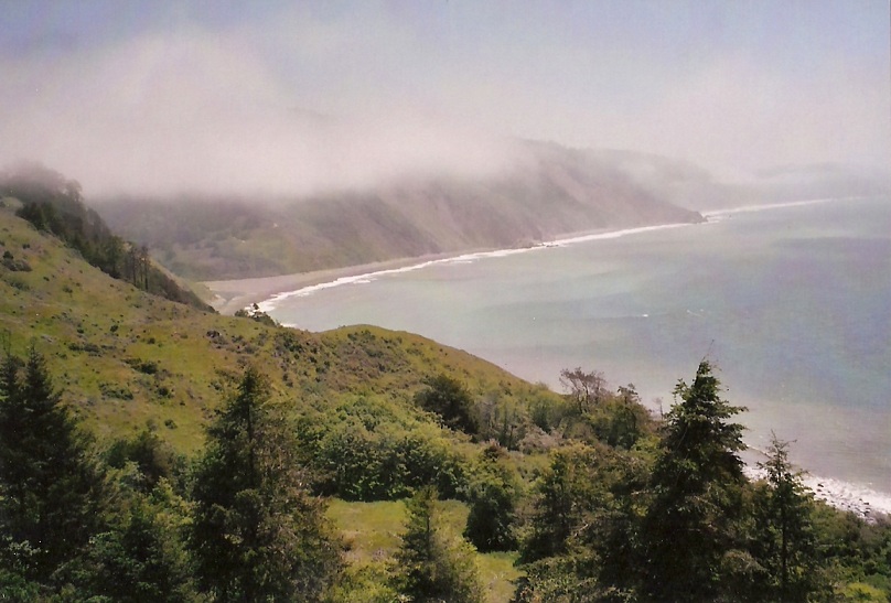
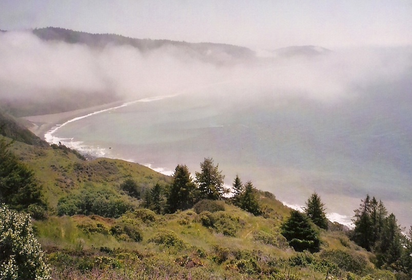
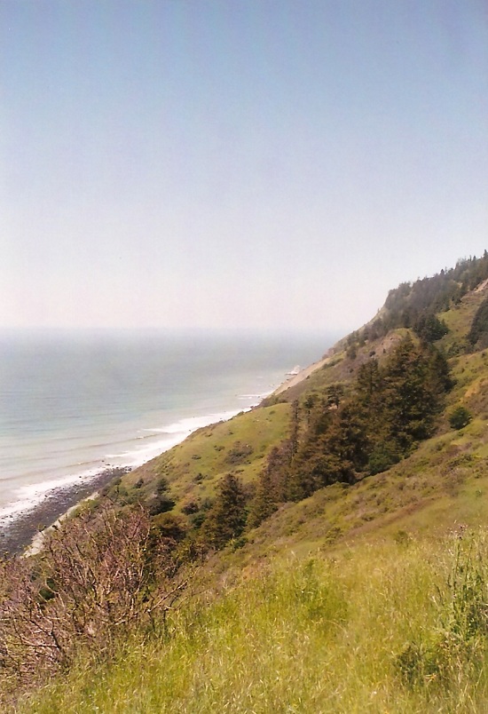
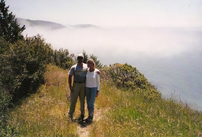
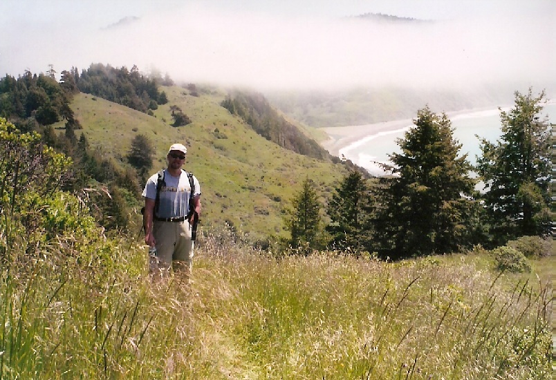
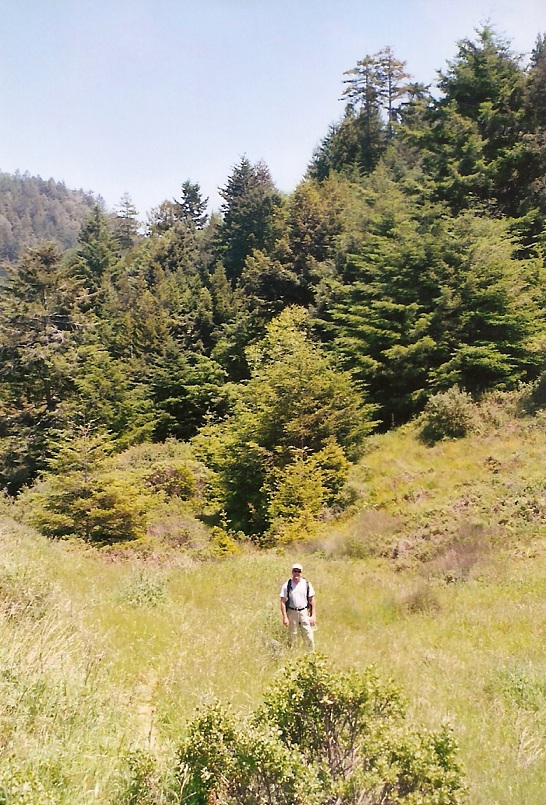
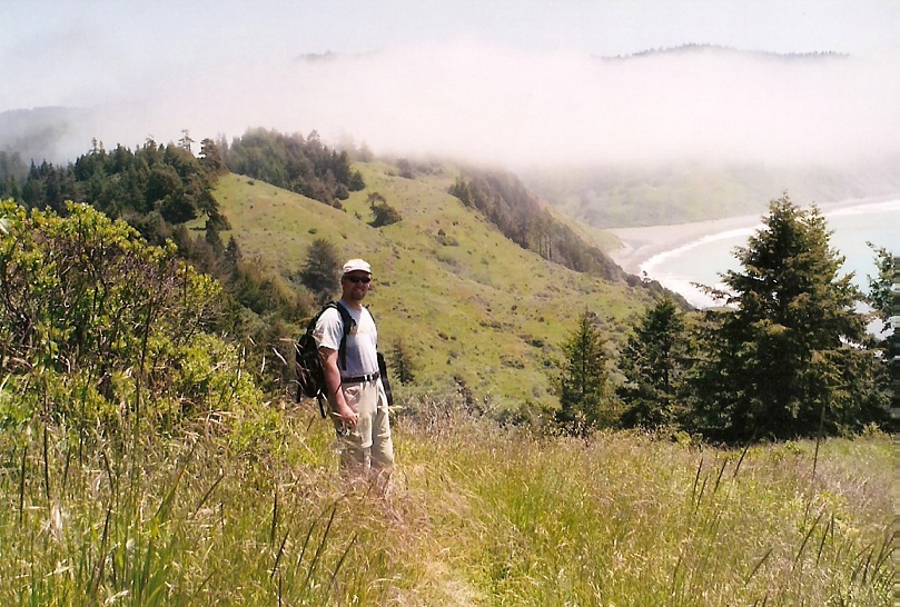
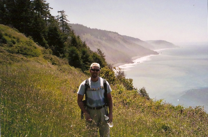
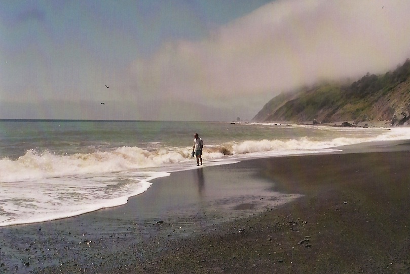
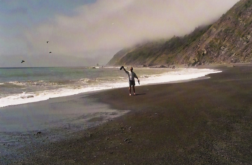
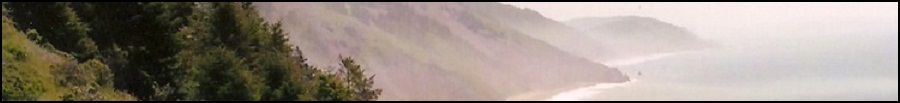
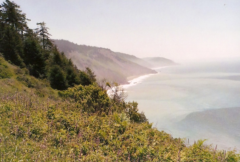
Our plan was to hike north along the trail for about two hours, have a lunch, then come back out. The trail itself leads all the way through the park, about a 22-mile one way hike, and many people back-pack it. The first portion switchbacked steeply up the east sides of the hill amid thick forest. I spooked a little garter snake along the way. We topped out at a ridge and a grassy meadow, with views of the coast and the mountains together. The rest of the hike was essentially through grassy meadows with occasional stands of trees. The trail was cut into the hillside, with about 300-600 feet of vertical difference above the beaches. Views were amazing. We hiked up switchbacks toward an obvious promontory, where we stopped and took a break for lunch. This was our turn-around point; we'd covered about 2 miles. I cannot describe fully enough just how gorgeous this land is. Utterly unlike anything I have ever hiked before.
 The Lost Coast
|
|
(c) 2003-2020 Scott Surgent. For entertainment purposes only.
|