Death Valley National Park
Inyo County, California • March 2005 |
|
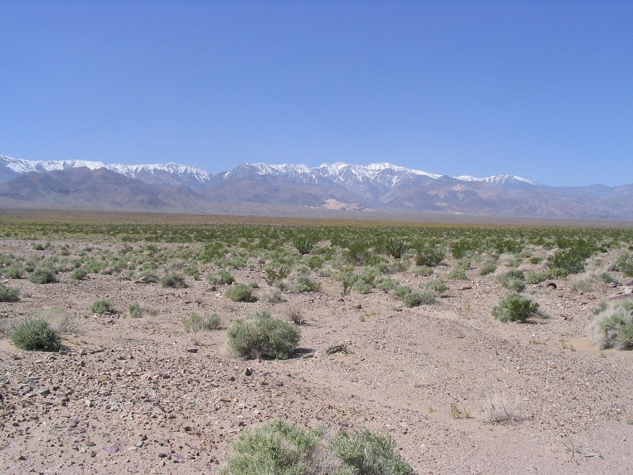
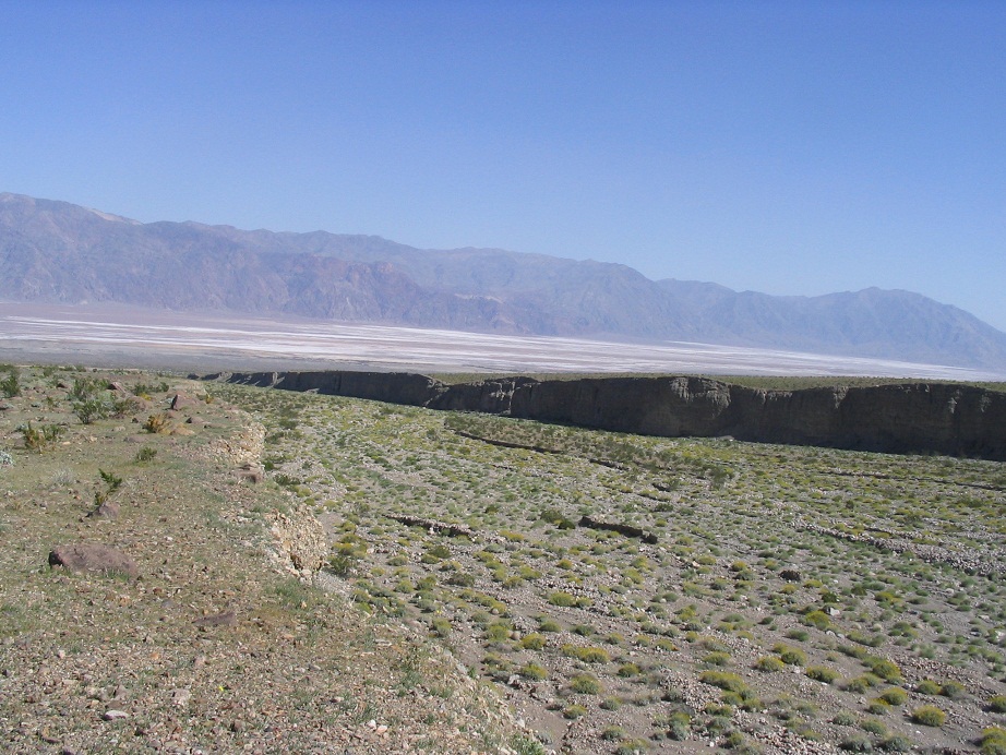
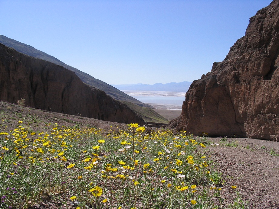
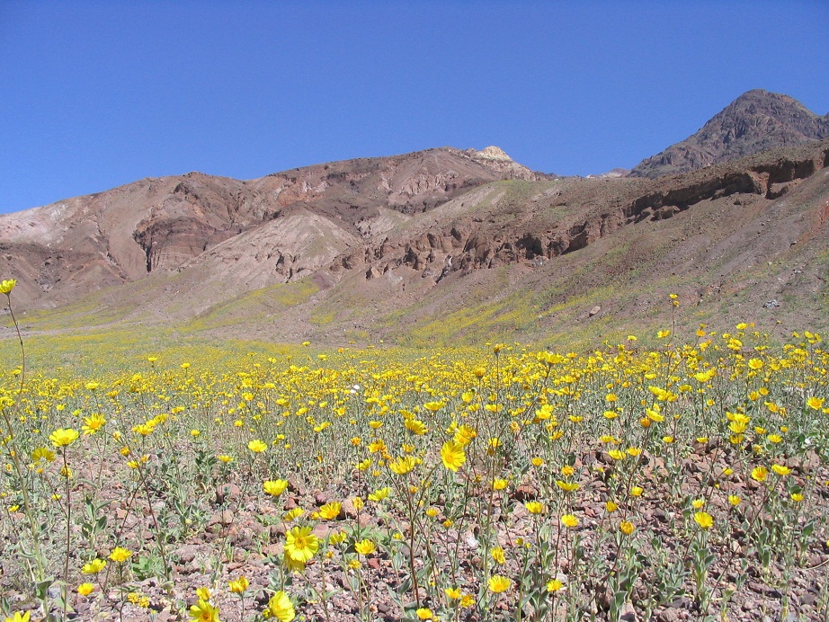
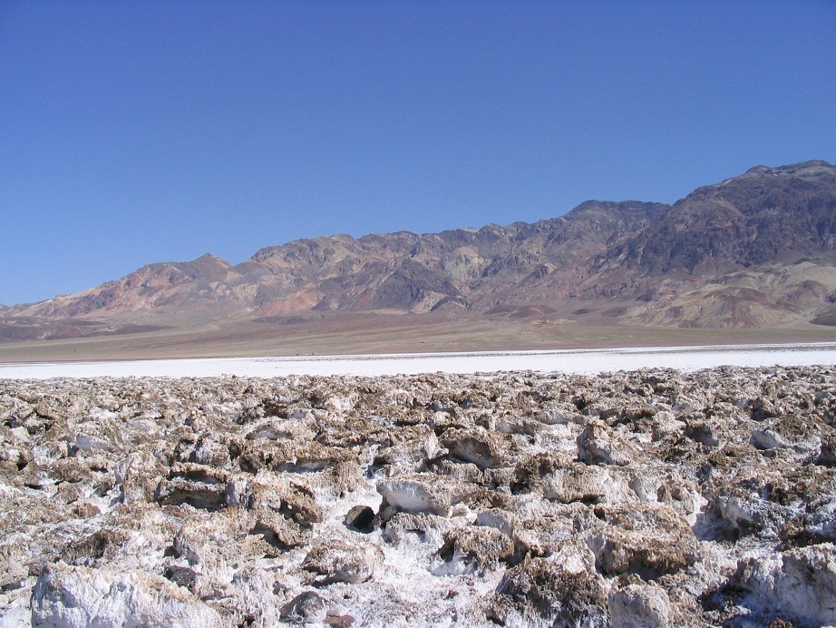
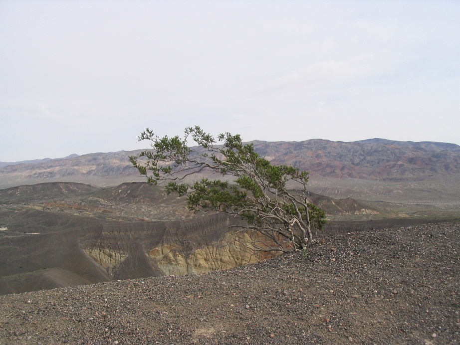
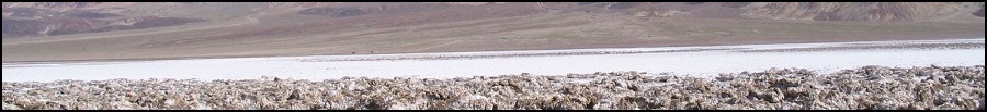
Death Valley is a marvelous place, despite its grim-sounding name. It is famous for its low elevations (-282 feet is the lowest in North America) and high heat (134 degrees F in 1913, the official world record, and 130 F in August 2020 and June 2021). But there's so much more here than just endless flat desert, which is what I think many people envision Death Valley to be. It's actually a deep depression flanked by giant mountain ranges, with the Panamints reaching over 11,000 feet high, or over two vertical miles in elevation differential. The depression is covered in salt deposits. There are beautiful slot canyons, sand dunes, maar craters, dry lakes and endless opportunities to explore. The scale of the place is what blows me away. Photos barely convey the sense of scale and beauty. It is gigantic and amazing. I love it here.
In college, I drove to Death Valley about once every three or four months, to explore and camp, sometimes alone, sometimes with friends. I've been here in summer when tempertaures have been at about 125 F (about 52 C), and I have been here in winter when lows were about 15 F (about -9 C). Naturally, the best season to visit is winter, but summer has its attraction.. It seems the Europeans come here a lot in summer. There are a lot of companies that offer one-day day trips to Death Valley from Las Vegas. Once, I saw two guys snapping photos of Badwater from their car, AC blasting, wearing sweaters for Pete's sake, when it was pushing 120 outside. I suspected European tourists. Don't get me wrong, I like Europeans, but they can be so European sometimes.
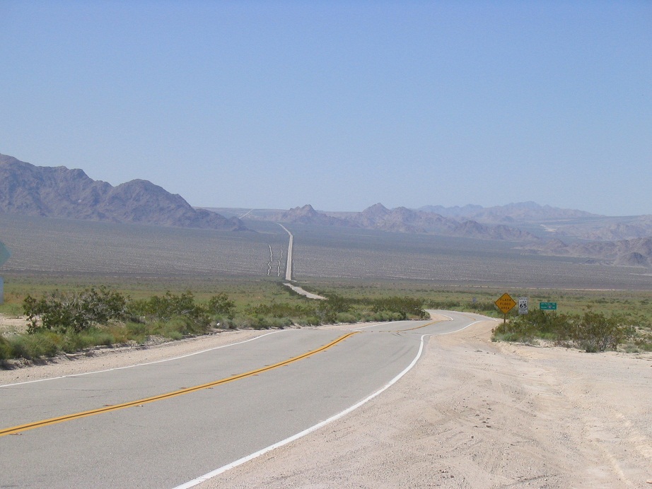
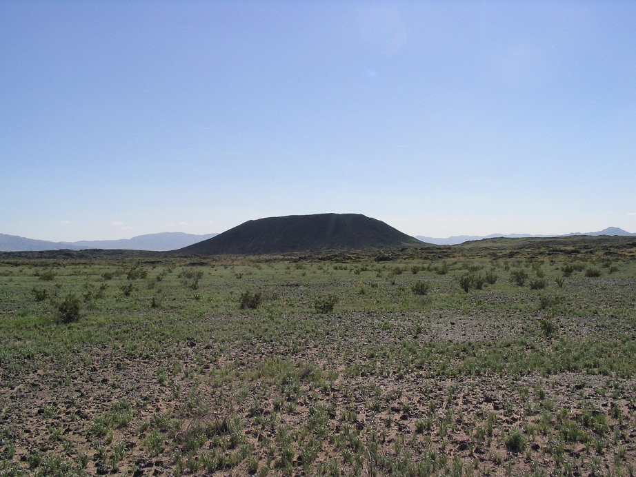
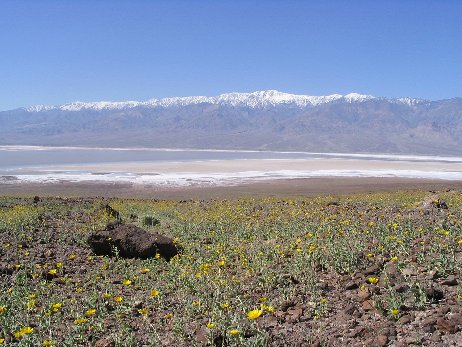
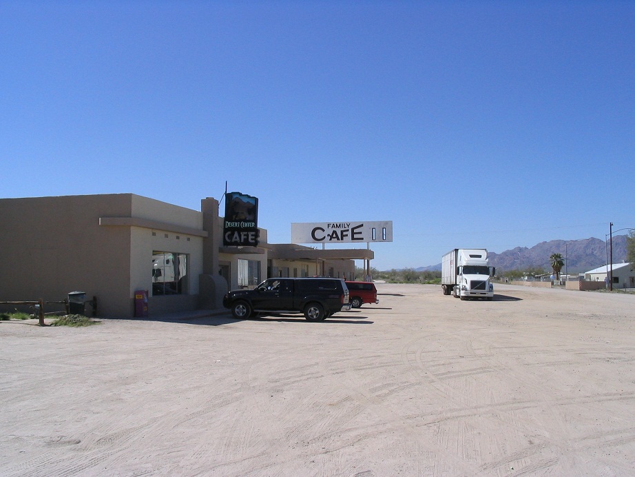
In 2005 over spring break, βð and I drove to Death Valley for a visit. It had rained a lot and the depression was filled with water, creating an actual lake for the first time in many years. It was stunning. They say this happens maybe once or twice per century. We took the scenic route, driving from Phoenix to Desert Center (CA) via Interstate-10, then up minor highways through Amboy (and its crater) and Kelso. Then we drove to Kelso Dunes where we camped for the night.
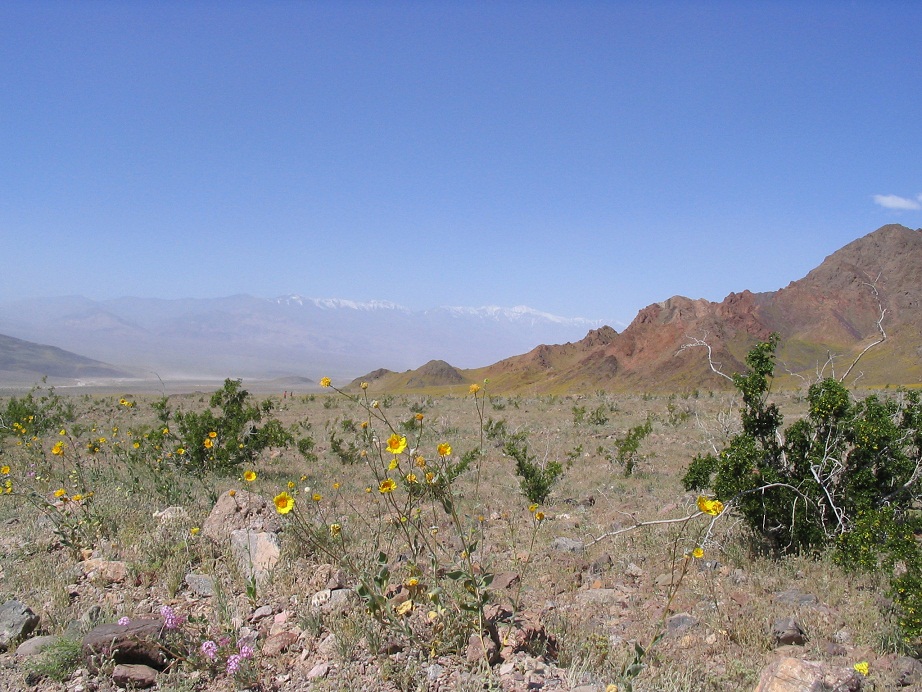
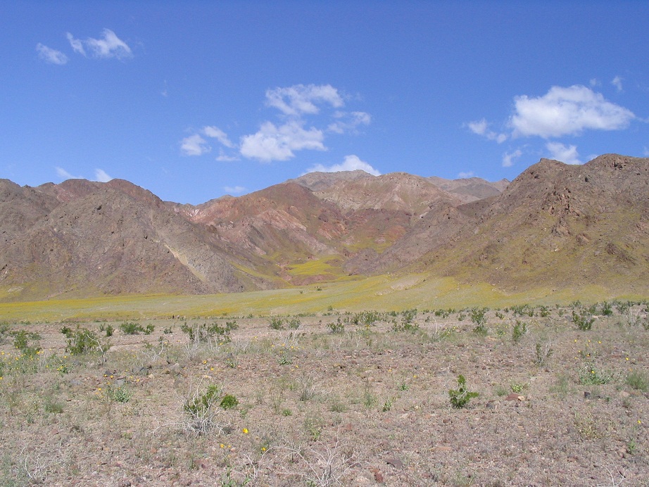
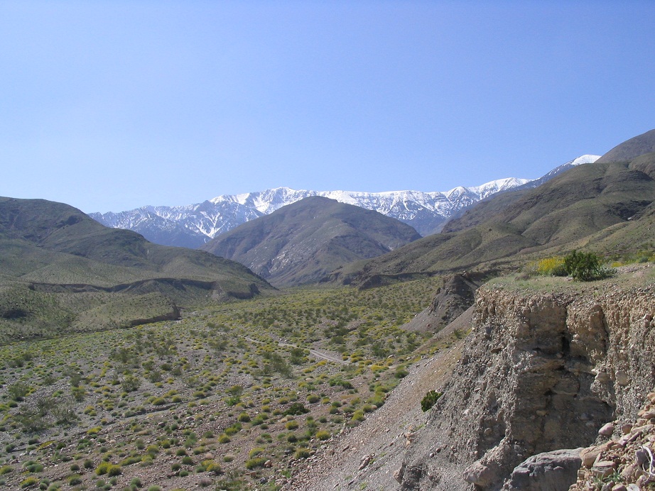
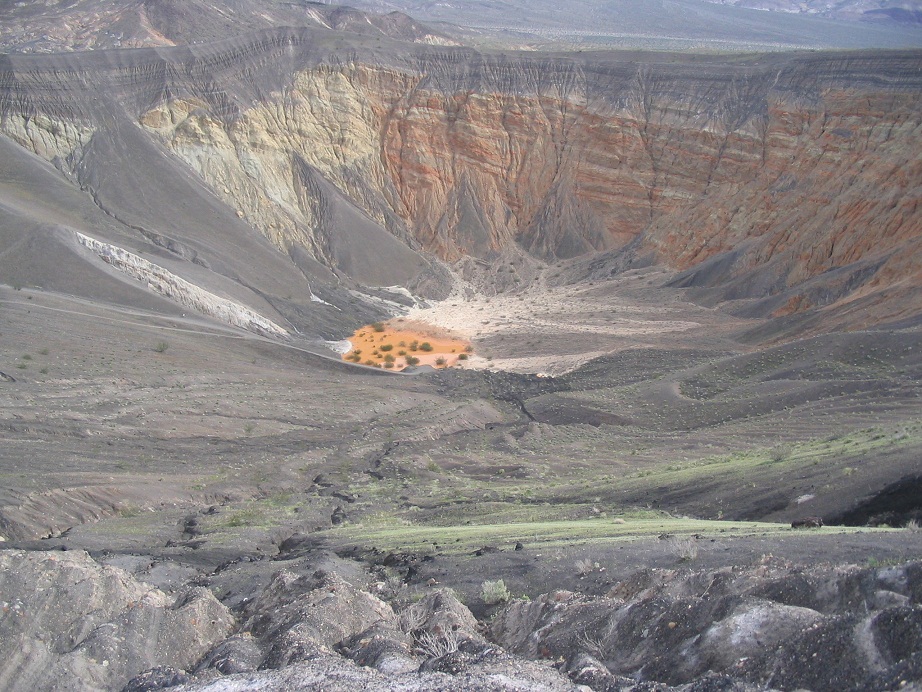
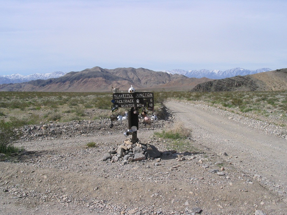
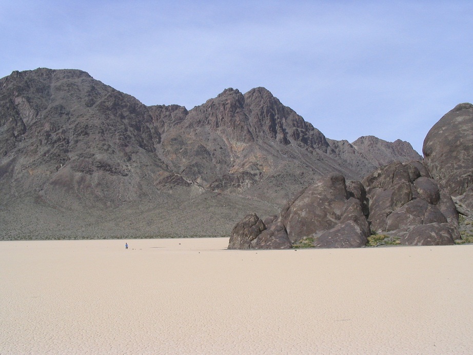
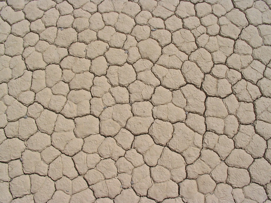
We spent the next three days in Death Valley. We drove all over the place, checking out the wildflowers. We drove the West Side Highway, a dirt road that runs up the west side of the salt flats before connecting again to the paved route near Furnace Creek. We explored Hanaupah Canyon, looking for a spot to camp, but all the good ones were taken, and you can't "scatter" camp in the park, so we left Hanaupah Canyon, and by the time we got to Furnace Creek, it was late. We camped at an awful hard-pack with hundreds of others. The only upside were some neat sandstone hills nearby, which I hiked early in the morning. We also explored Titus Canyon, then camped for a night near Scotty's Castle. The third day we explored Ubehebe Crater (a maar crater, where underground water meets magma, and boom), then drove the bumpy tracks past Tin and Dry Mountains to the Racetrack, where large stones somehow move along the playa, although no one has even seen it in action. I picked one up and saw little wheels underneath. Mystery solved.
From here we left via Nevada and slowly made our way homeward. The trip had been wonderful. My nose, on the other hand, was not too happy, given all the pollen.
 Cafe, Desert Center
|
|
(c) 2005, 2010 Scott Surgent. For entertainment purposes only. Carry plenty of water!
|