
The Mountains of Arizona
• www.surgent.net
|
| Union Mine Peak • Peak 2075 |
• Phoenix Mountains • Scarlett Canyon Preserve • Maricopa County |
|
Date: October 9, 2017
• Elevation: 2,075 feet
• Prominence: 564 feet
• Distance: 2 miles
• Time: 1 hour
• Gain: 535 feet
• Conditions: Clear and warm, with cooling breezes
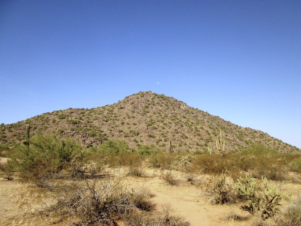
This peak lies north of the Loop-101 Freeway near Cave Creek Road in north Phoenix, the summit less than a mile from the freeway. The peak itself appears to have no name. It lies within the Scarlett Canyon Preserve, and sometimes the peak is called Scarlett Canyon Peak.
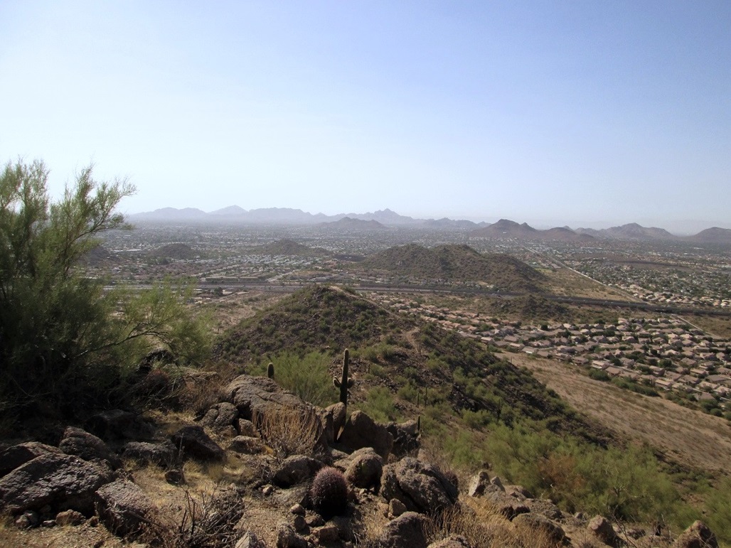
Before the freeways and suburbia grew like a cancer, this peak rose all by itself in what was open desert, and was the location of the Beardsley Boulder Pile, a popular rock-climbing and bouldering locale. The old Union Mine was located on the peak's north slopes and produced gold and other precious and useful metals. For want of a formal name, Union Mine Peak it shall be for purposes here.
I was here in April, exploring ways to hike this peak. There are trails everywhere ... but no obvious public parking. I suspect most hikers are the locals who live nearby. I tried a few things but didn't feel comfortable with any of the options. Then it got hot. When the heat of summer broke finally, I looked again at hiking this peak. I found where the Beardsley Boulder Pile people go to park, so I figured that would be a good place for me, too.
I left home about 8 a.m., ran an errand or two, got gas, then found myself at the Cave Creek exit off of Loop-101. I went north about 3/4-mile, then left onto Lone Cactus Road a short ways, then south to its end at a turnaround, a parking area big enough for about five cars. No one was here today. There was a Phoenix Parks and Recreation sign and a garbage can here. This was the extent of amenities. It was close to 9 a.m. when I started hiking. The day was sunny and blue, with some haze. It was warm, but pleasant.
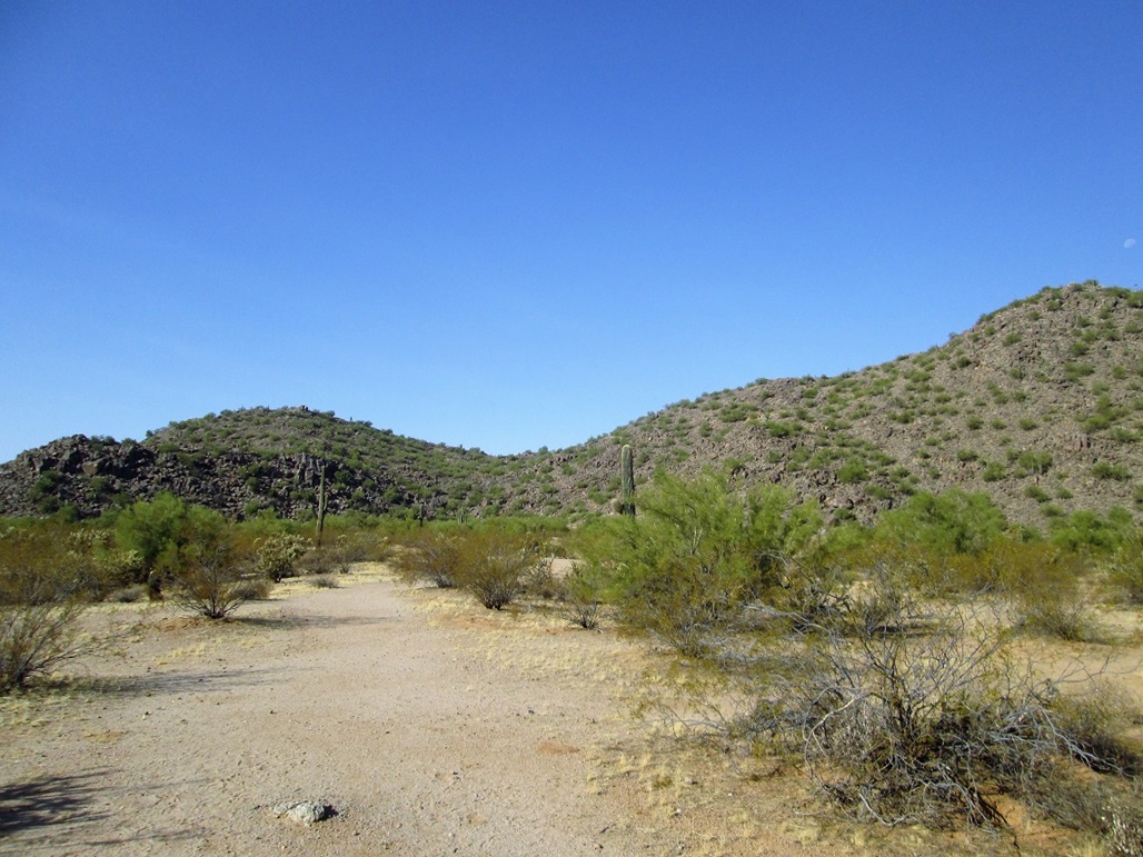
I walked west toward the lowpoint in the ridge ahead of me, the location of the Boulder Pile. Here, there are dozens of short routes for boulderers. The trail could be seen snaking up behind the main "Pile". I got onto this trail and speaking of snakes, made sure to keep an eye out for them. It's still warm enough for them to be out and about. Fortunately, I didn't see any.
Near the saddle, I see a young woman inching her way down. She had just hiked the summit wearing cheap flip-flops. I commended her for being so hardy. We talked briefly. I took it that she hiked this spur of the moment. Then a moment later, I see another lady coming down. Given that I was expecting to see no one, I was surprised at the infinite-percent increase in people I saw.
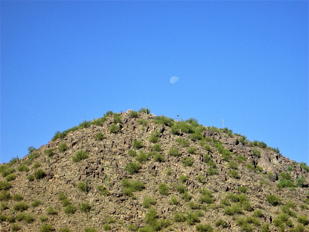
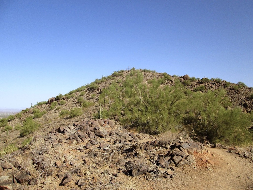
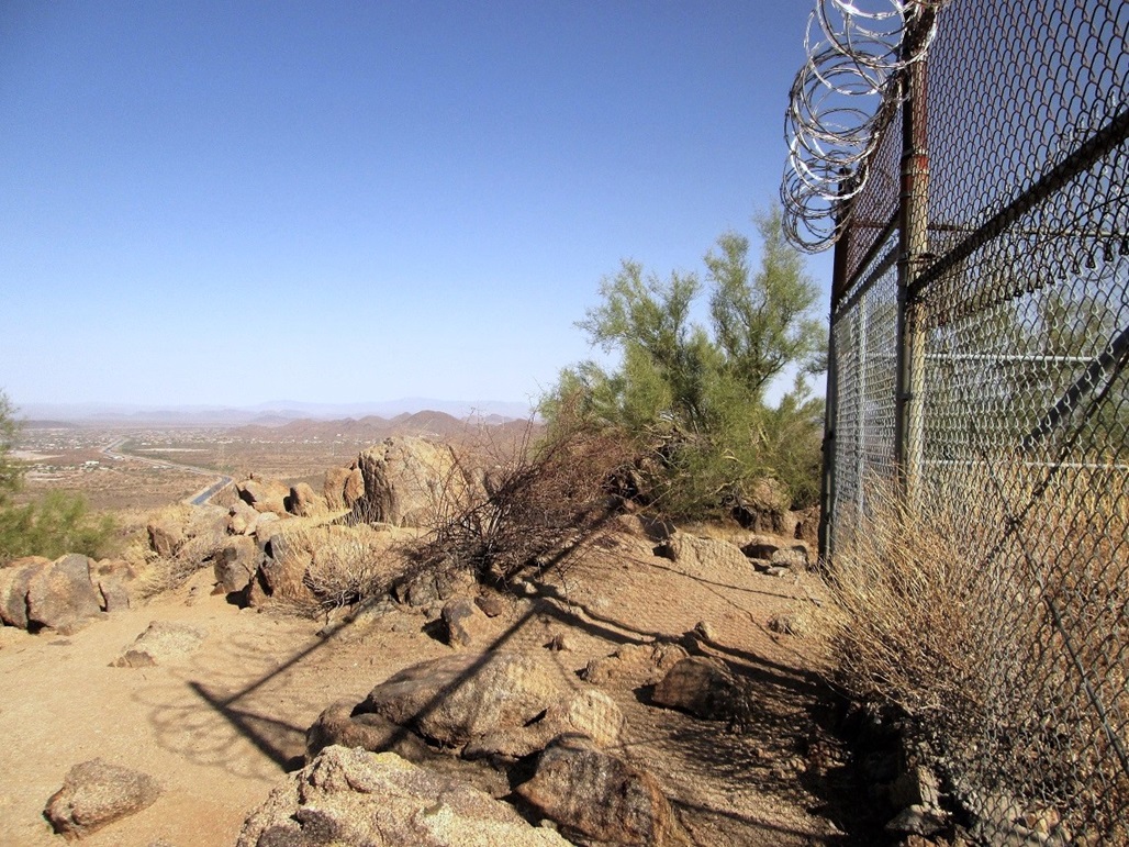
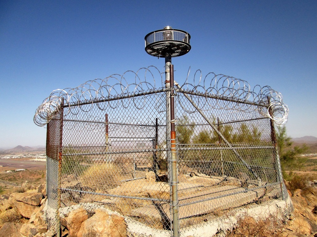
After chatting with the second lady, I marched upward to the top, making it in about 25 minutes. The trail was solid the whole way up. The top hosts electronic gadgetry, likely for the Deer Valley Airport which lies a couple miles to the west. At night, it shines a bright red light. Whatever it is, its important enough to be cordoned off behind fencing and razor wire. There were signs about tampering with it, as in don't tamper with it. The FBI would be notified.
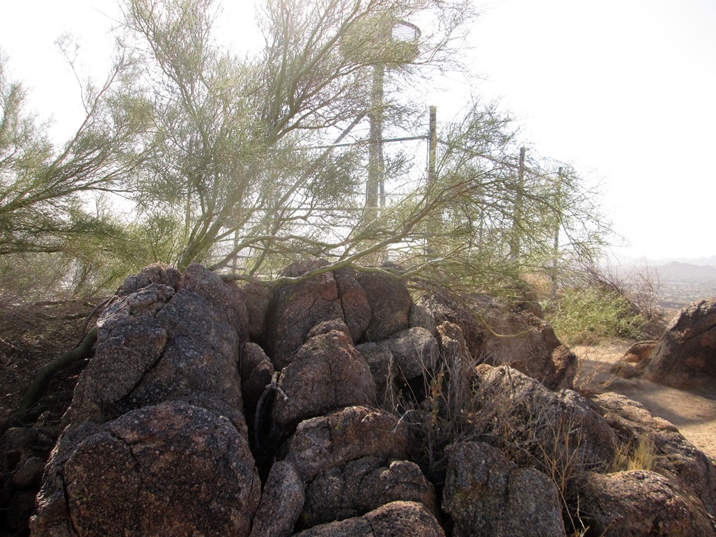
Fortunately, the highest point was on a rock outcrop about 8 feet to the northwest of the fence. A palo verde tree grew over the rocks. I tagged them, walked around the fence and sat down for about 5 minutes to rest. The day was warming up, but when a breeze would pick up, it was cooling.
I followed the same route back down, and never saw a soul. I was back to my car in about 20 minutes, the round trip taking just shy of an hour. I got a small workout and hiked another bump I'd never hiked before. From here, I drove home and got busy with other errands I had for the day.
|

|