December 16, 2023
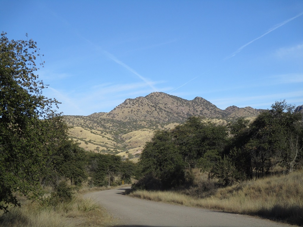
The peak as seen from the drive in, the highpoint is the pointier peak on the ridge
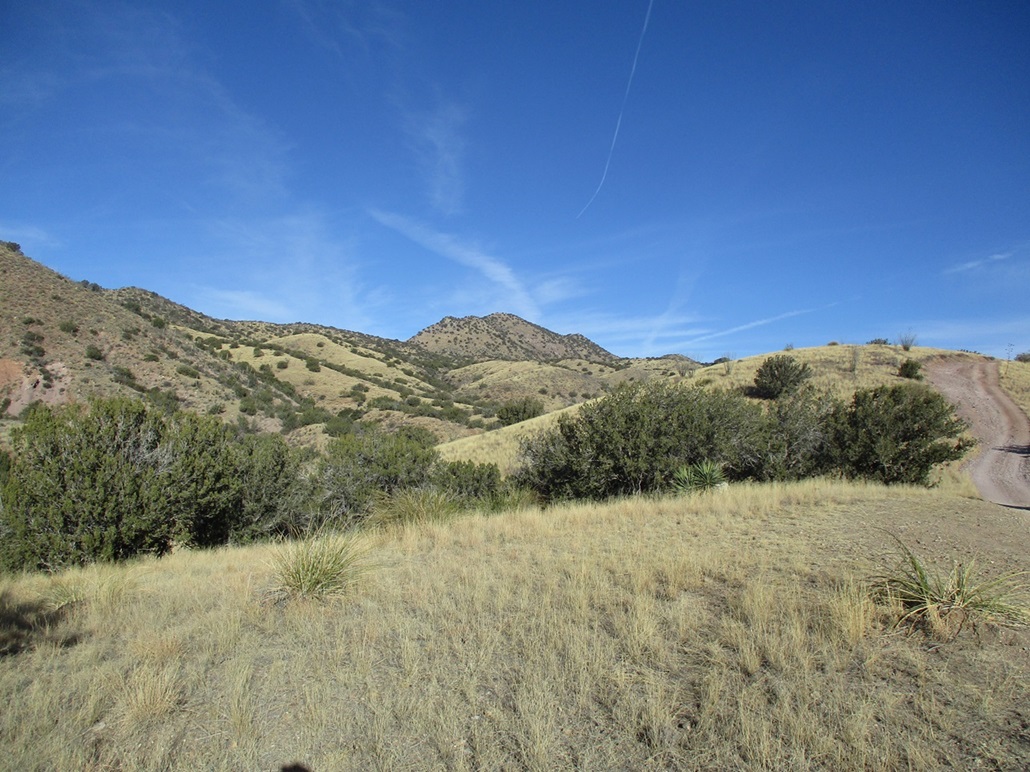
As seen on the hike in
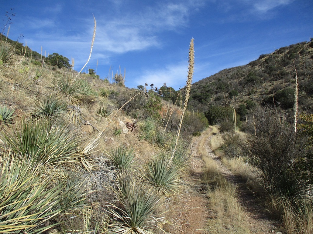
On the last track up the canyon

Looking up at the slope out of the canyon
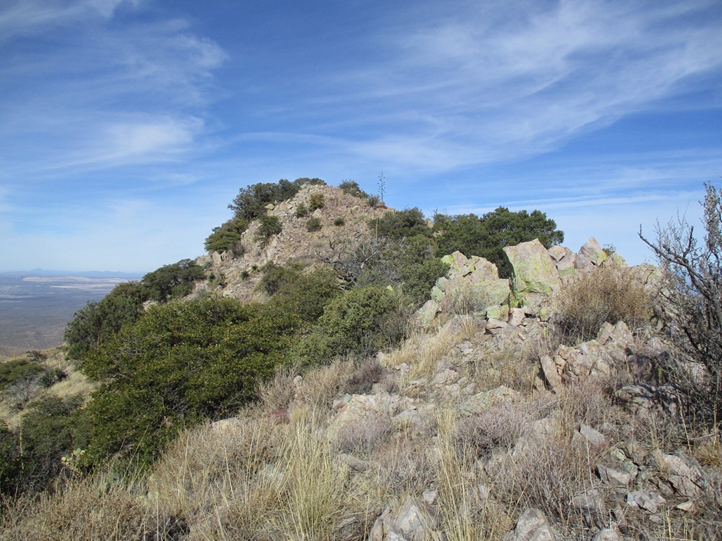
The summit is up ahead
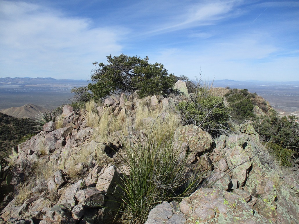
The highpoint ridge. The actual highpoint is that rock slightly in back
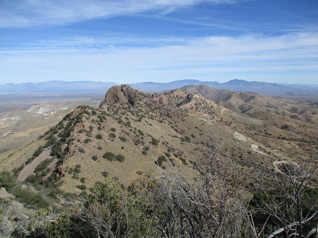
View of the "actual" Weigles Butte, and Mount Fagan in back
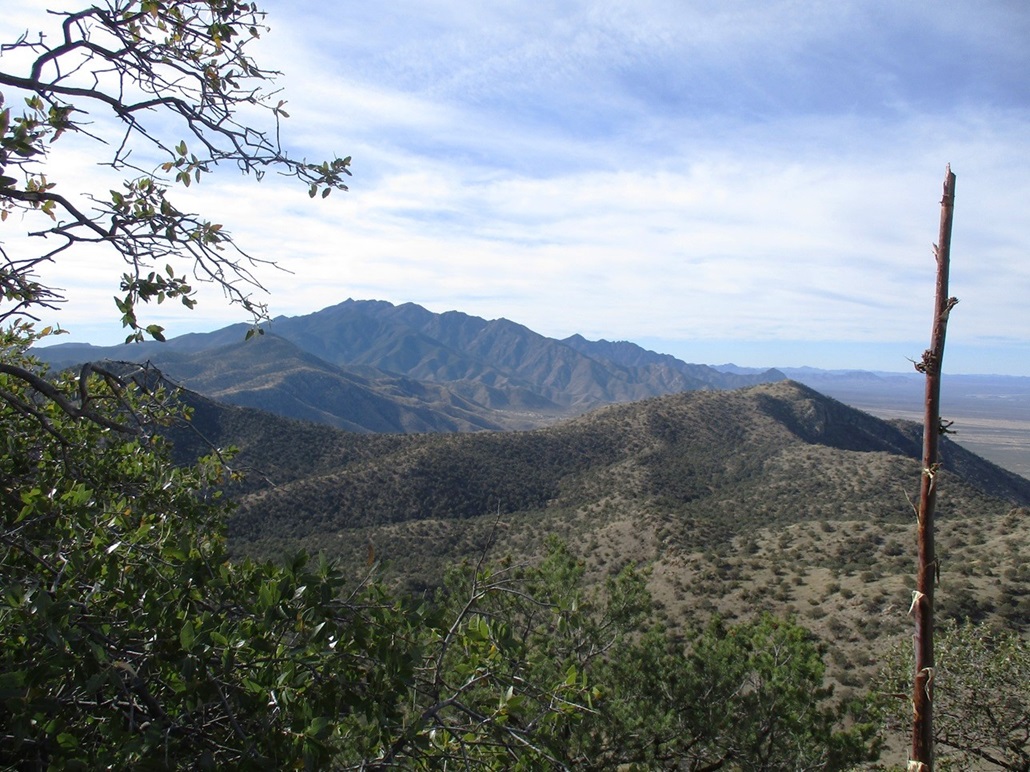
Mount Wrightson
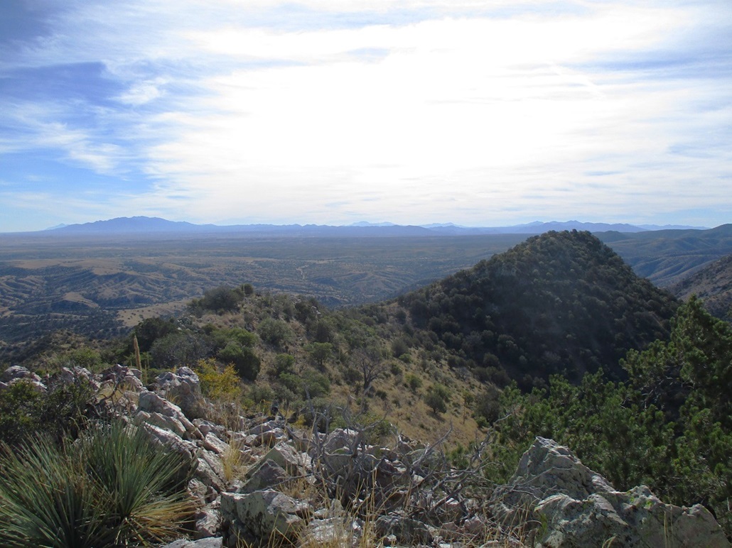
Look down at the ridge I came up
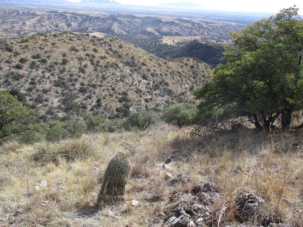
Now looking down the slope back into the canyon
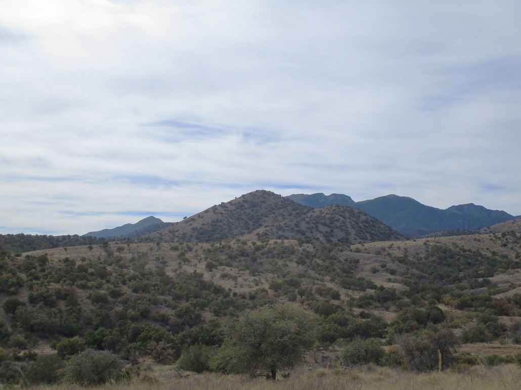
Granite Mountain as seen from the road
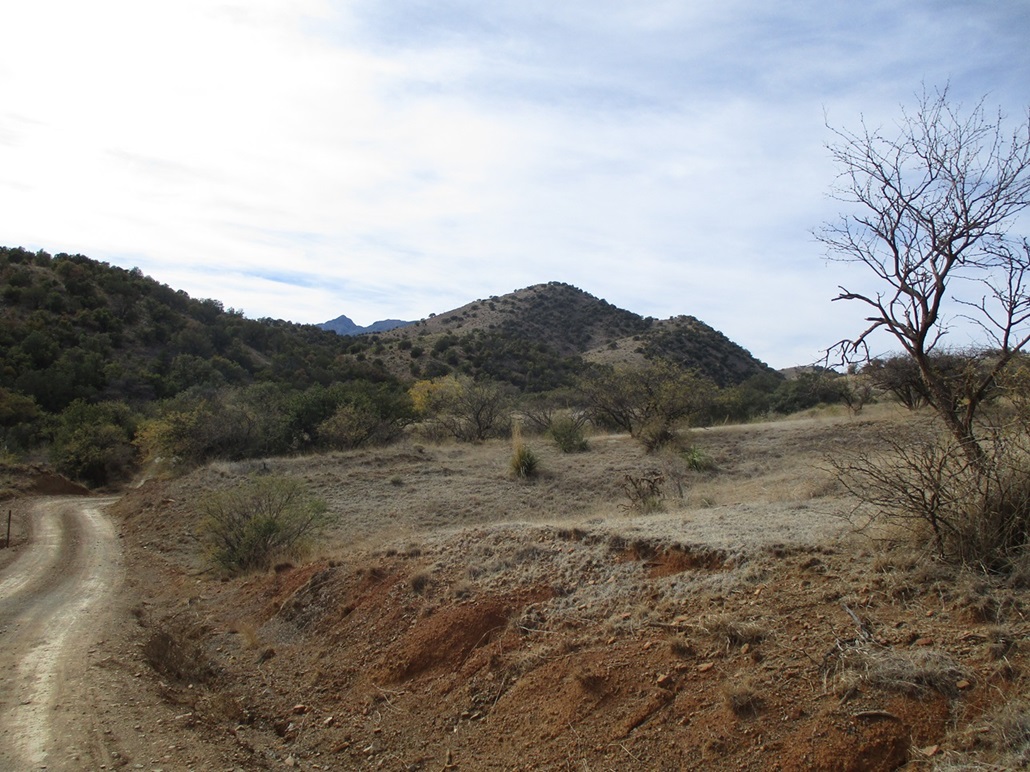
Now closer
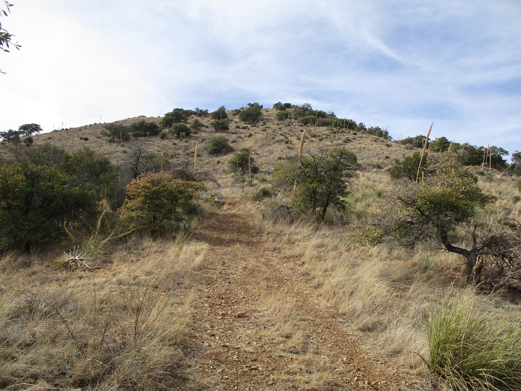
Right below it now
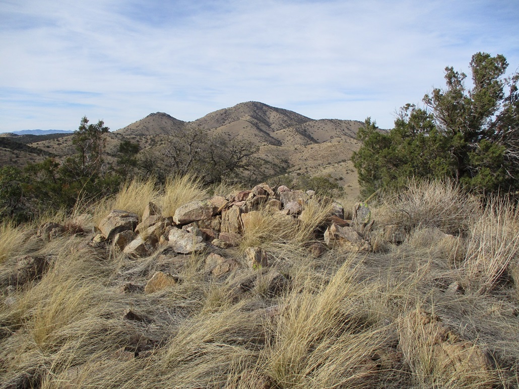
Summit rocks and Castle Dome Peak in back
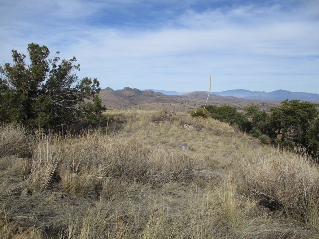
Looking north, the Wigles Butte Ridge is seen
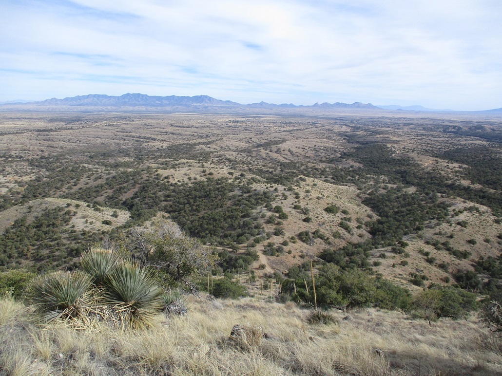
A look down at the slope as I descend
Arizona Page • Main Page • Trip Report
(c) 2023 Scott Surgent. For entertainment purposes only. This report is not meant to replace maps, compass, gps and other common sense hiking/navigation items. Neither I nor the webhost can be held responsible for unfortunate situations that may arise based on these trip reports. Conditions (physical and legal) change over time! Some of these hikes are major mountaineering or backpacking endeavors that require skill, proper gear, proper fitness and general experience.