
Skull Mesa
February 7, 2021
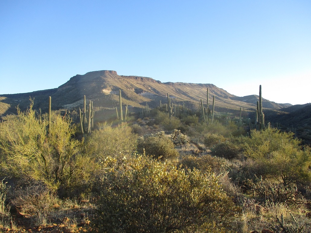
Skull Mesa as the sun rises
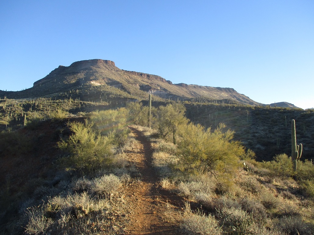
From the Cottonwood Trail
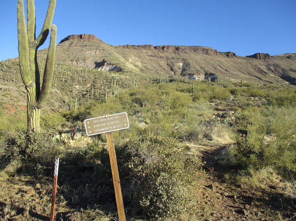
At the trail junction, the ascent slope is up ahead
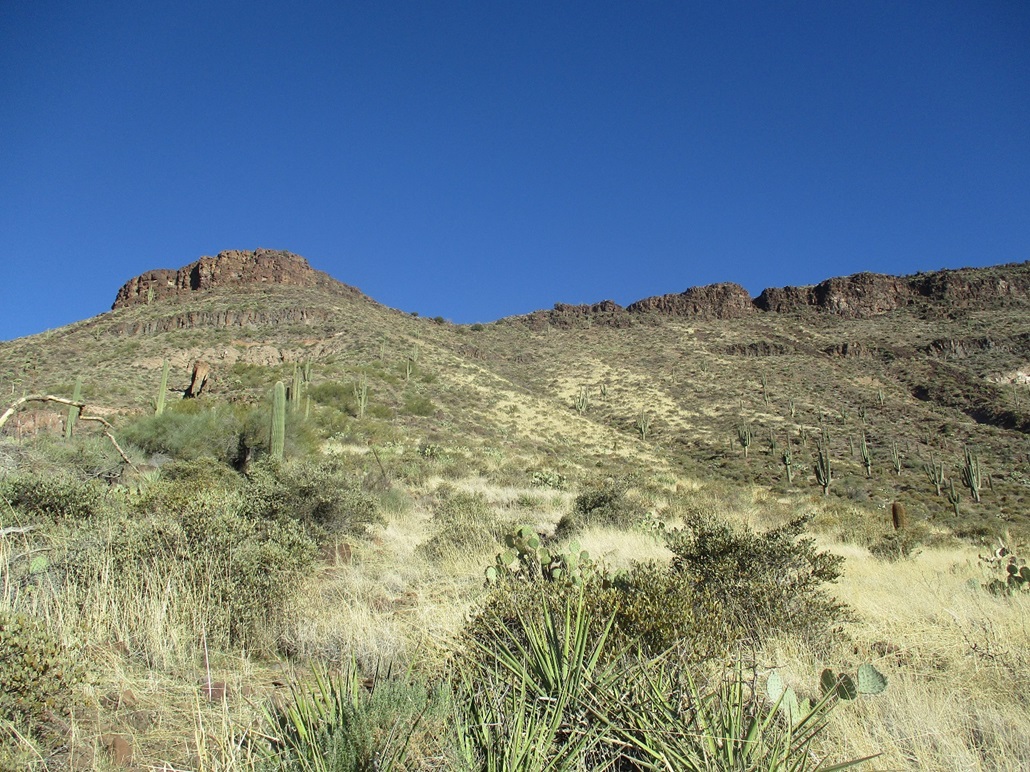
About a third of the way up the ascent to the mesa top
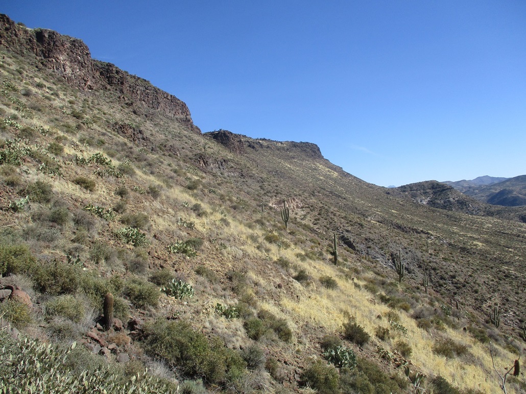
The summit promontory is seen as I ascend the mesa slopes
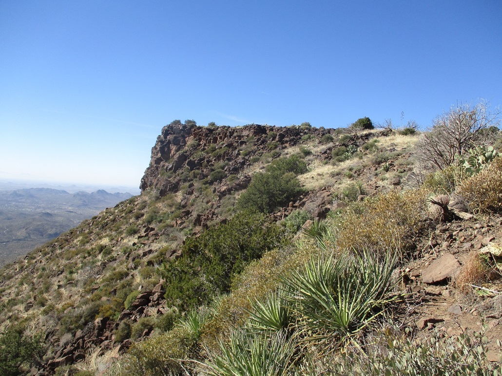
The western promontory
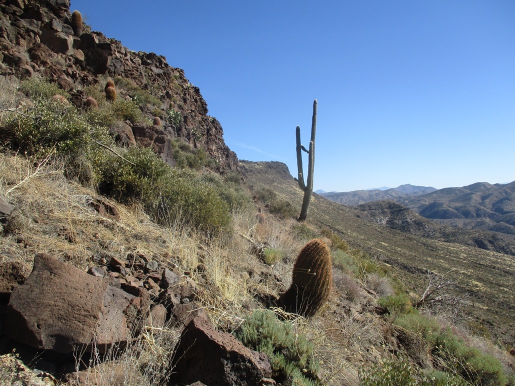
The summit again, as I abut the top-most cliffs
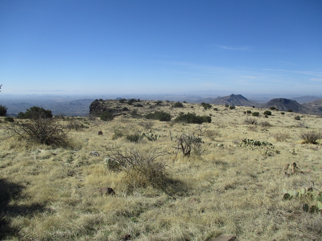
The western promontory, from on top the mesa
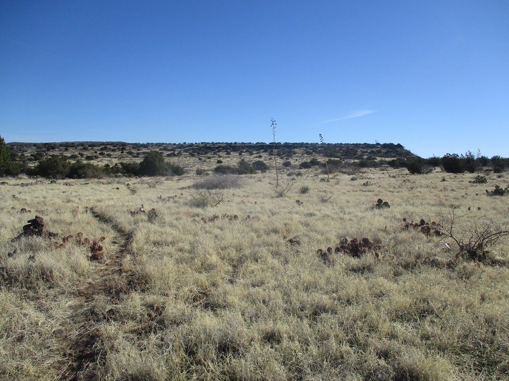
A view east toward the higher ground atop the mesa
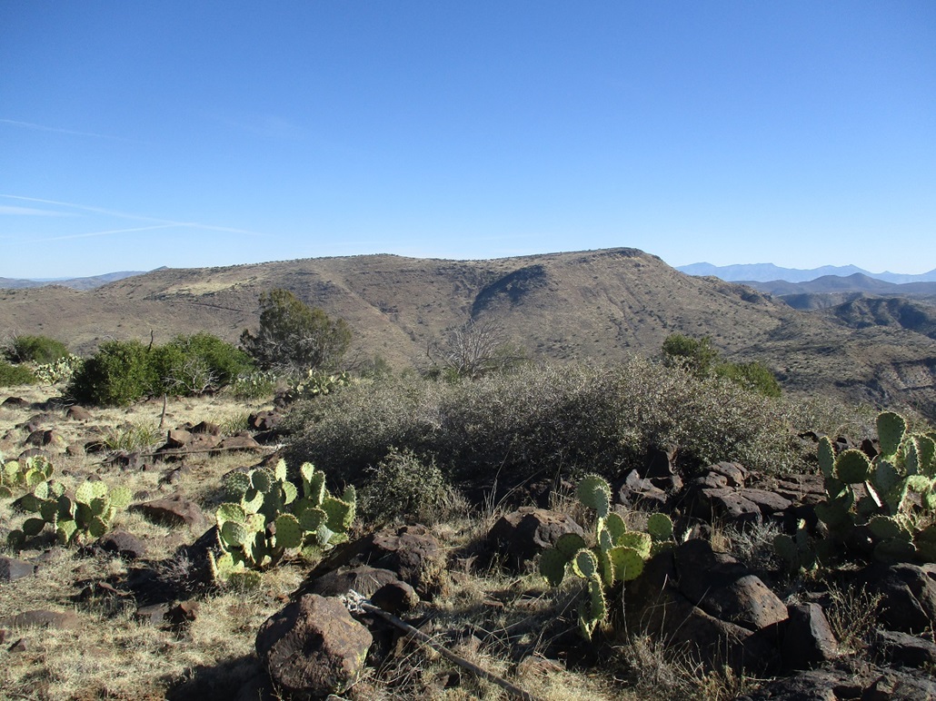
View of Quien Sabe Peak from the summit area
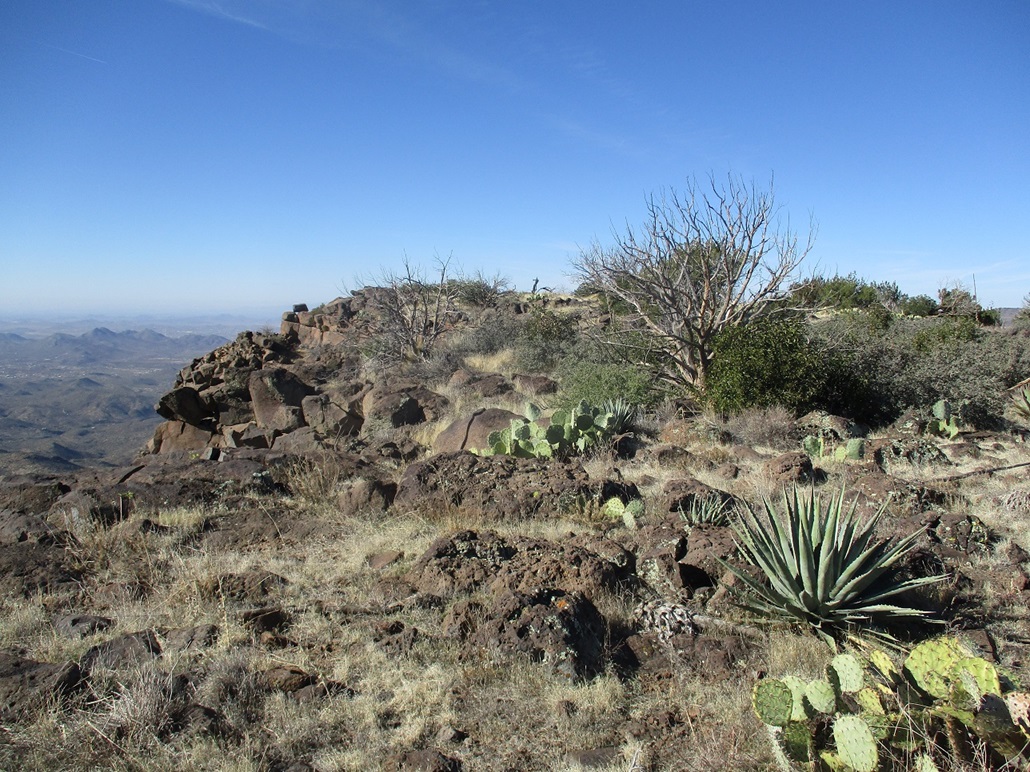
The summit promontory
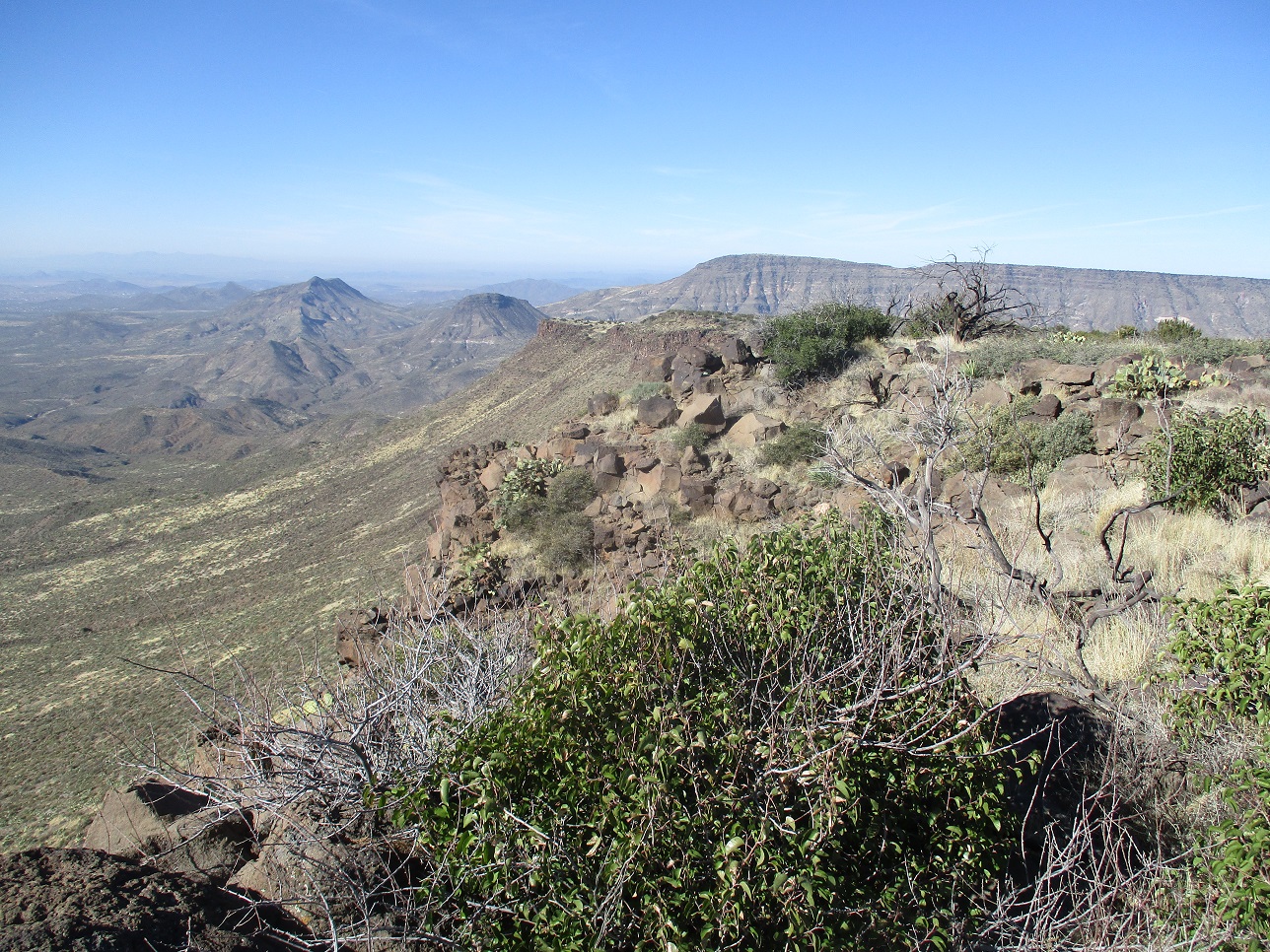
From the top, a view west at the western promontory, and also Elephant and Sugarloaf Mountains, then the south portion of New River Mesa
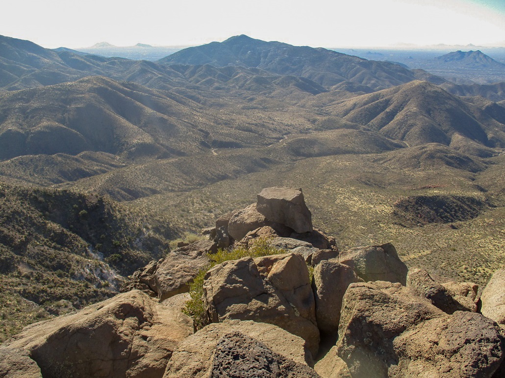
View south from the summit into the sun
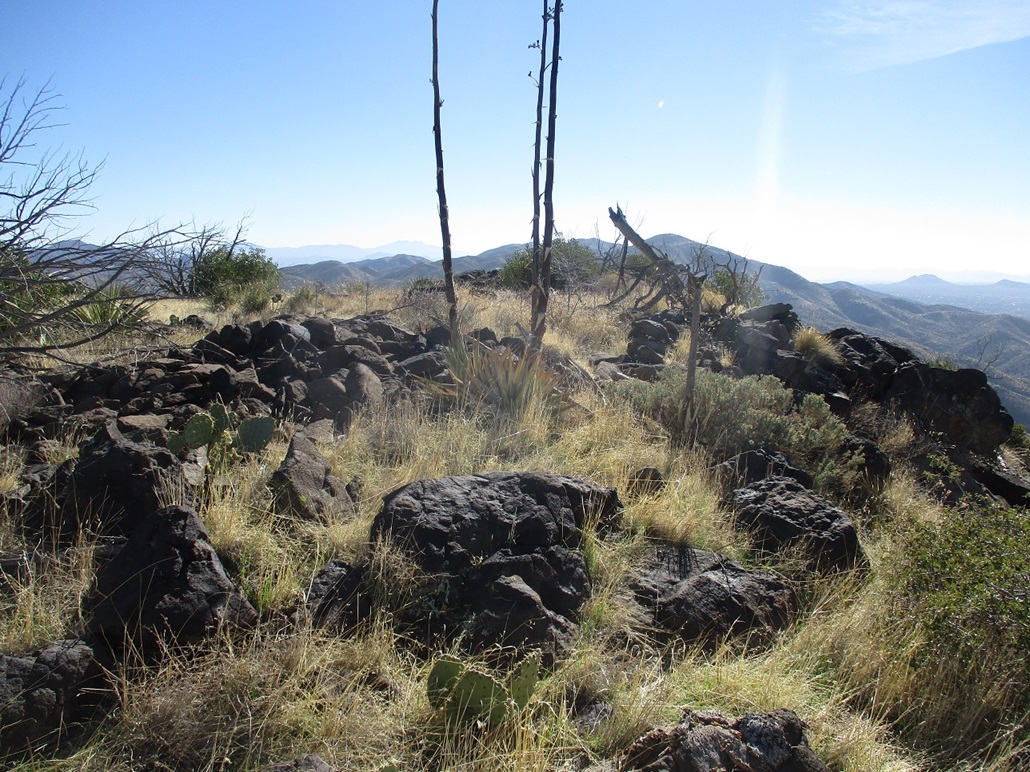
The general highpoint area
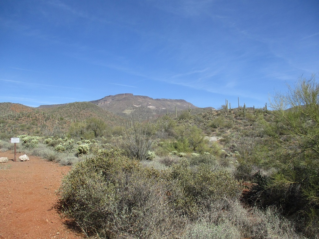
View as I exit, almost to the parking lot
Arizona Page • Main Page • Trip Report
Mobile version (c) 2021 Scott Surgent. For entertainment purposes only. This report is not meant to replace maps, compass, gps and other common sense hiking/navigation items. Neither I nor the webhost can be held responsible for unfortunate situations that may arise based on these trip reports. Conditions (physical and legal) change over time! Some of these hikes are major mountaineering or backpacking endeavors that require skill, proper gear, proper fitness and general experience.