(Salt River Gorge)
April 9, 2025
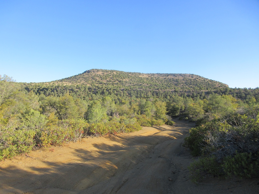
Regal Benchmark Peak from the southeast
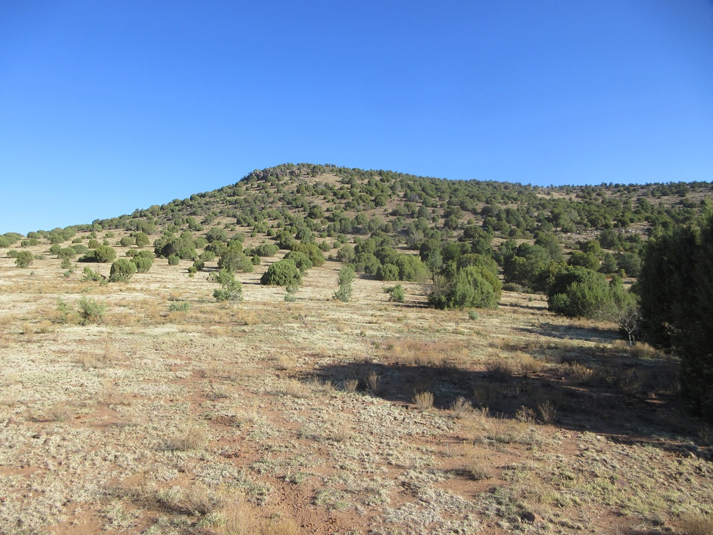
Now on its lower slope
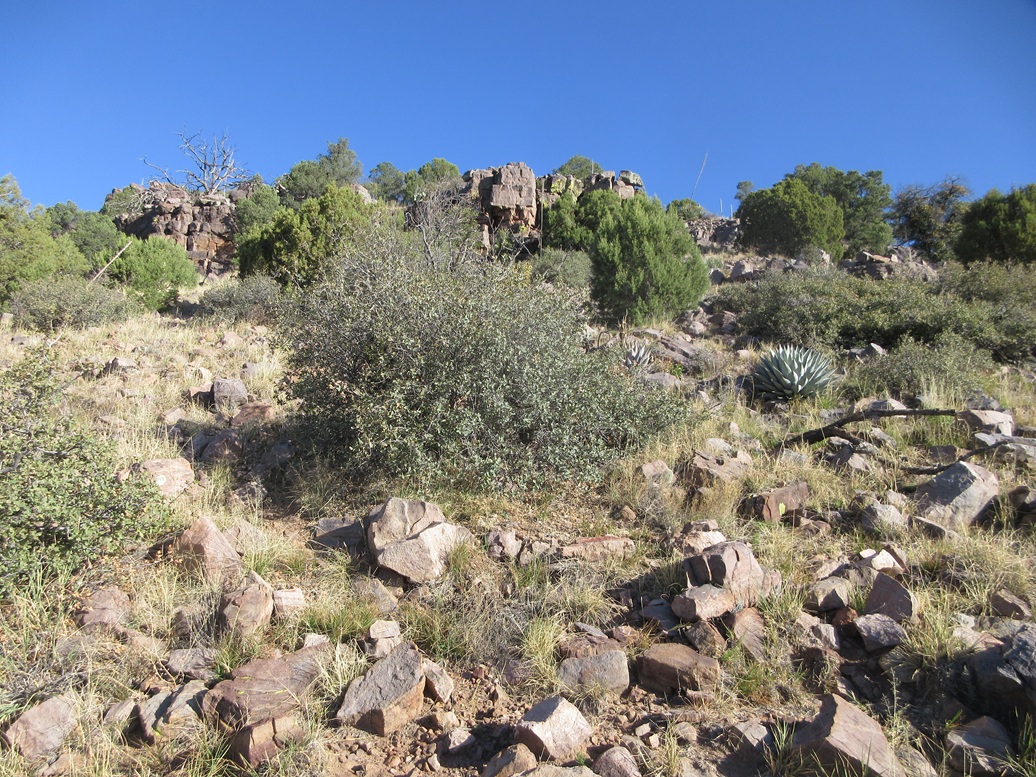
Approaching the low cliffs toward the top
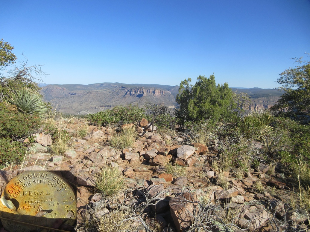
Summit! Cairn and some nice background
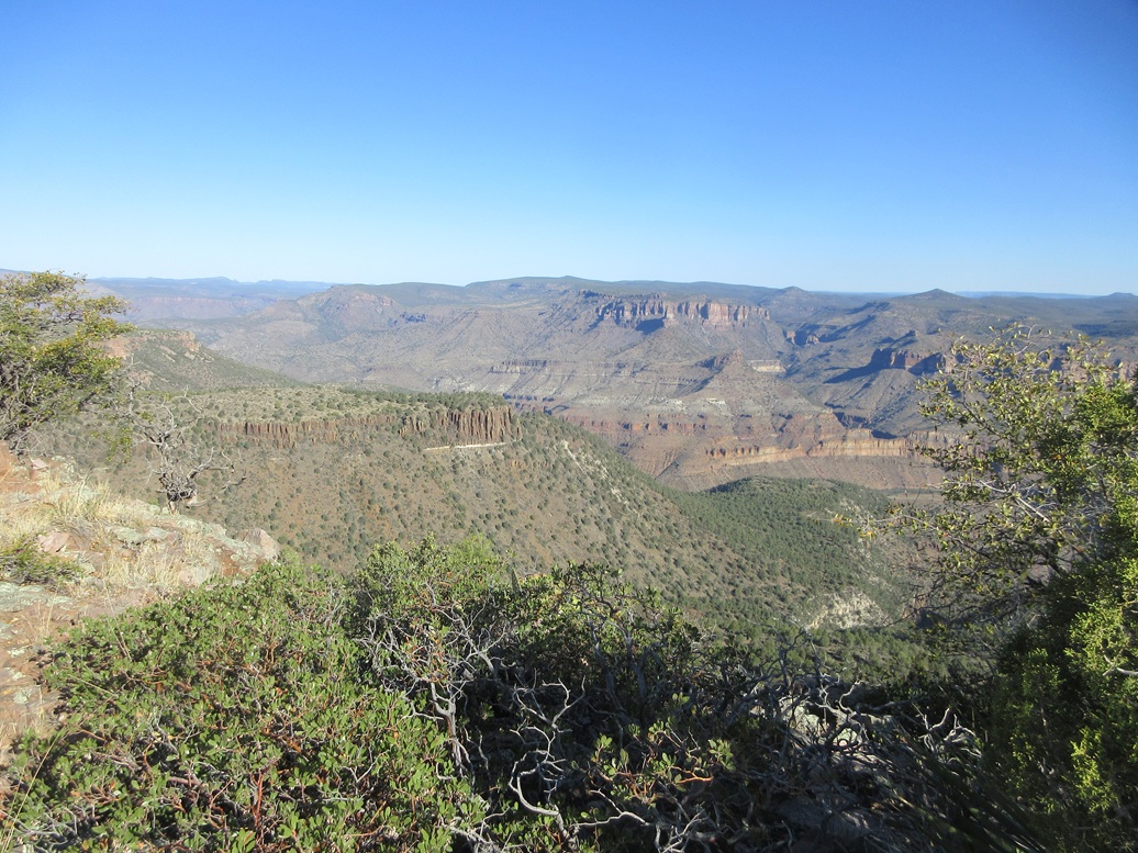
View into the Salt River Gorge

Salt Benchmark Peak as seen at dawn
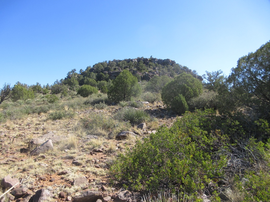
Approaching the summit cliffs
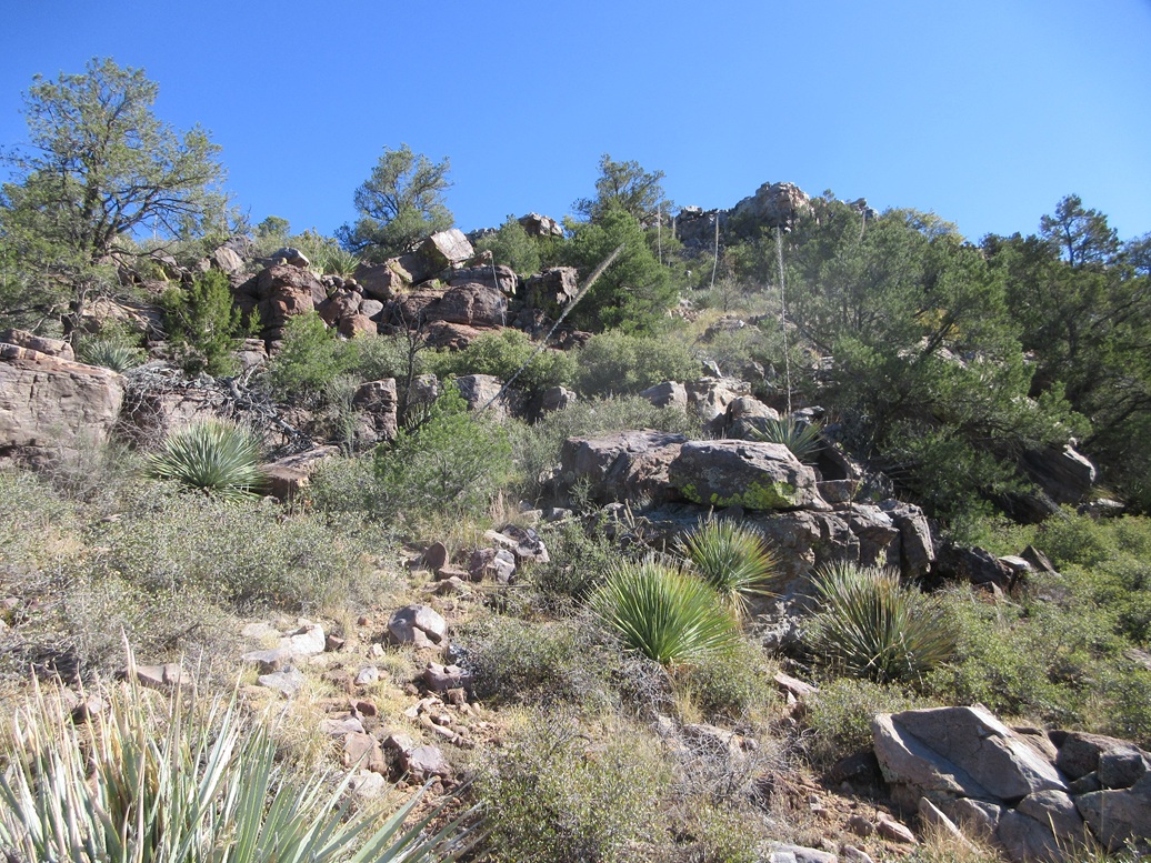
The lower cliffs were just a bunch of heaped rocks and brush

On top the peak, looking over at Regal Benchmark Peak
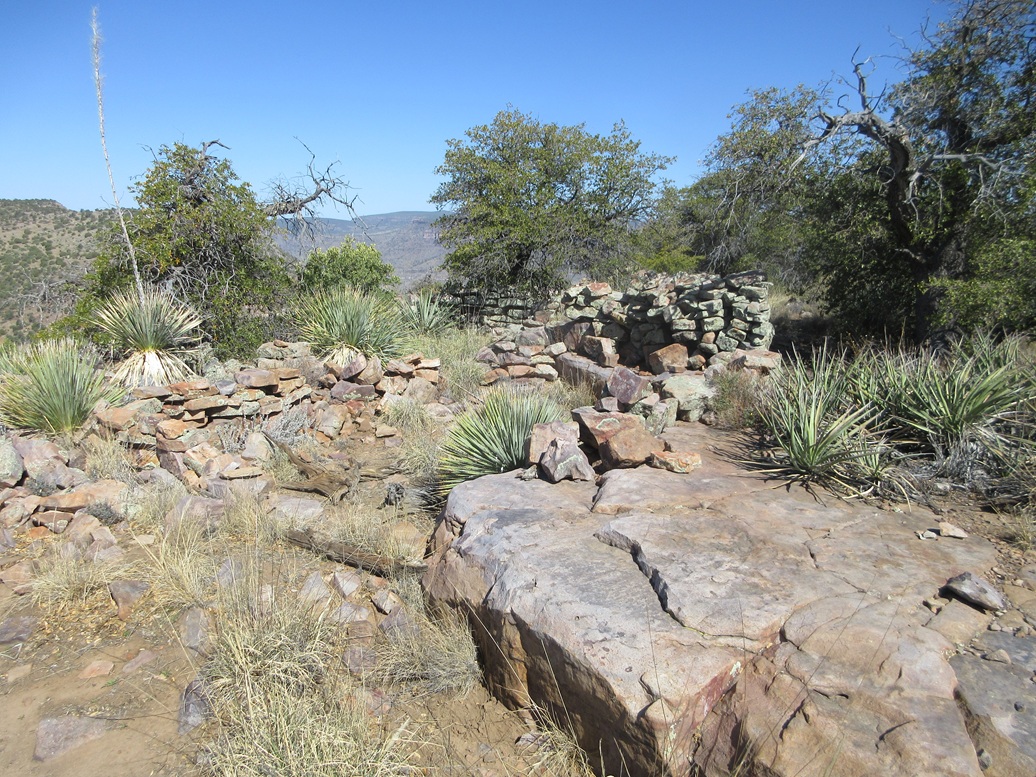
Some ancient Indian walls
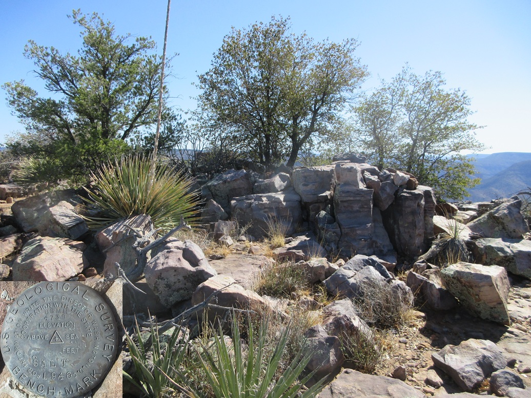
The highpoint rock is in the shade
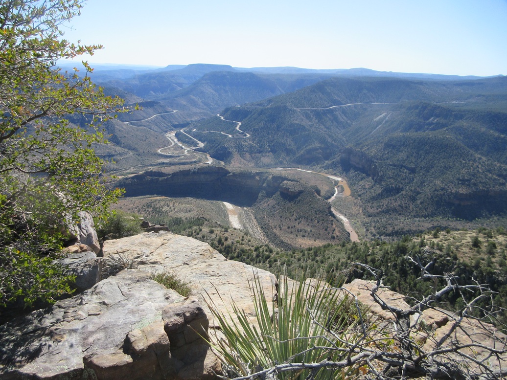
View down into the gorge, US-60 weaves down into and out of the gorge, Mule Hoof Bend is the cliffy hill within the gorge below
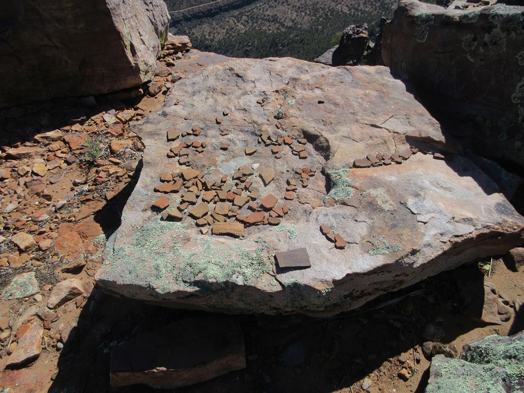
Lots of potsherds!
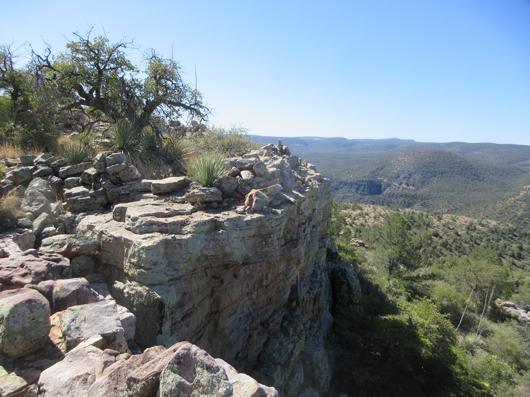
The summit cliffs, looking over at Phillips Mine Hill
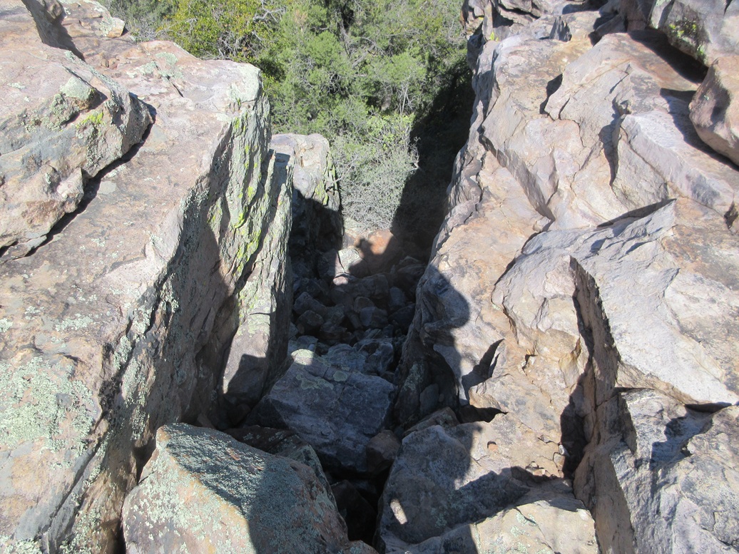
Me looking down the chute
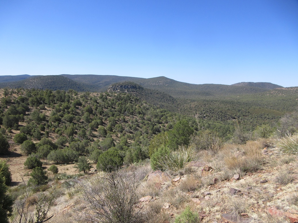
View of Phillips Mine Hill as I descend off of Salt Benchmark

Upper slope of Phillips
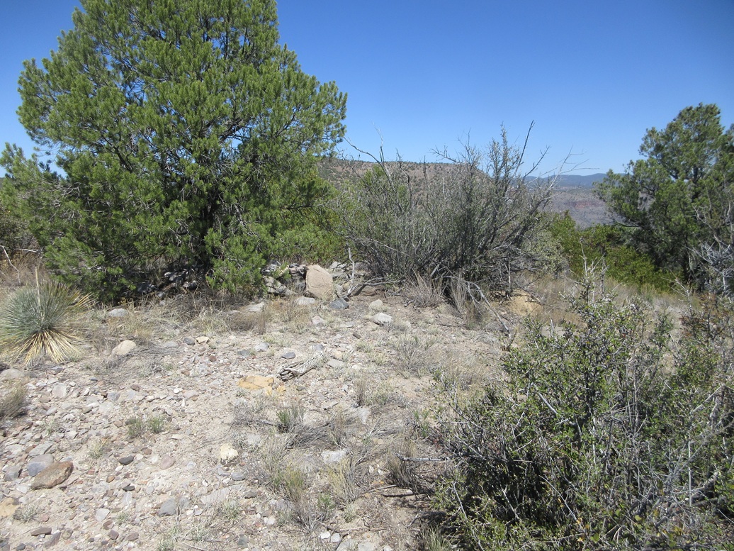
Summit cairn
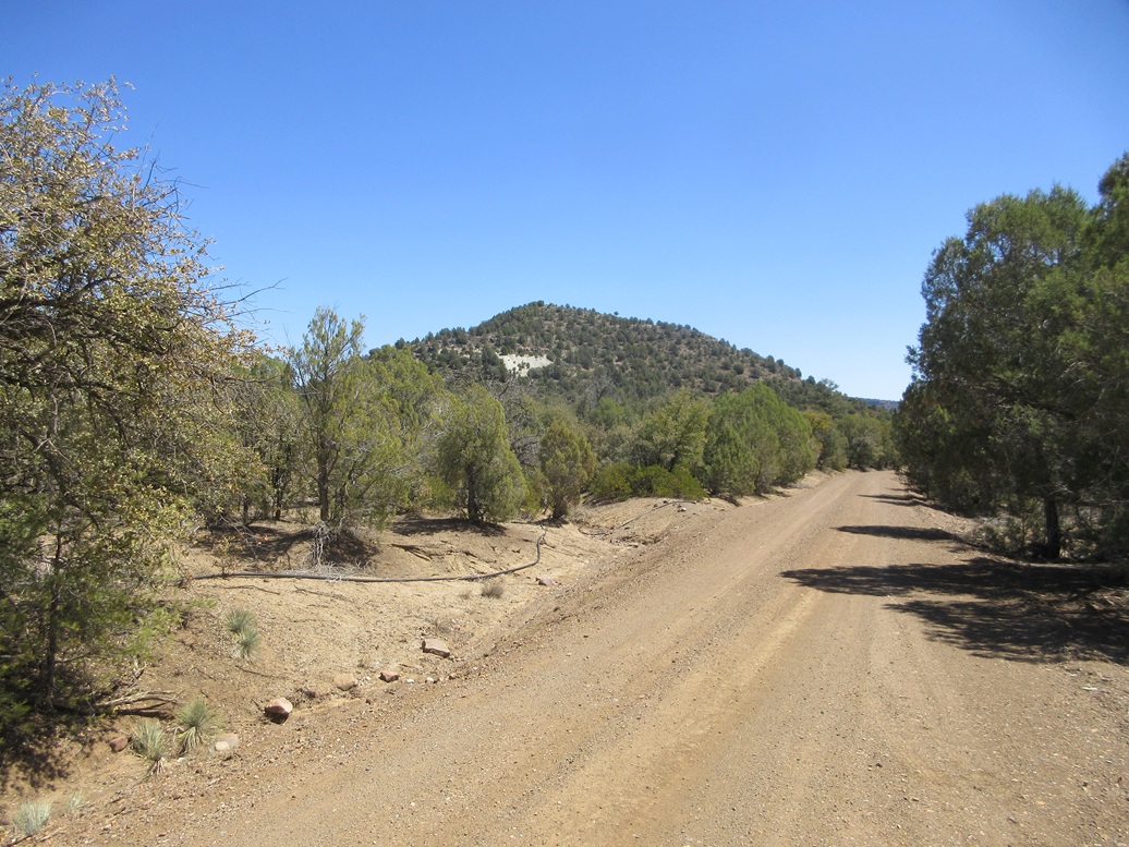
I walked a track that goes below the white tailings, then did two zigs and a zag to get on top
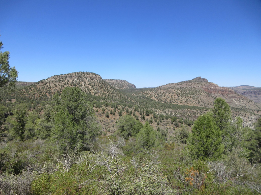
Phillips (left), part of Regal (center), and Salt as I hike out
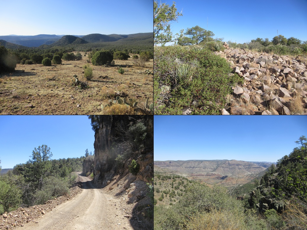
Phillips from the slope of Regal; a cairn atop Regal but not the highpoint yet; the forest road goes below some big cliffs; Mule Hoof Bend formation below
Arizona Page • Main Page • Trip Report
(c) 2025 Scott Surgent. For entertainment purposes only. This report is not meant to replace maps, compass, gps and other common sense hiking/navigation items. Neither I nor the webhost can be held responsible for unfortunate situations that may arise based on these trip reports. Conditions (physical and legal) change over time! Some of these hikes are major mountaineering or backpacking endeavors that require skill, proper gear, proper fitness and general experience.