November 20, 2024
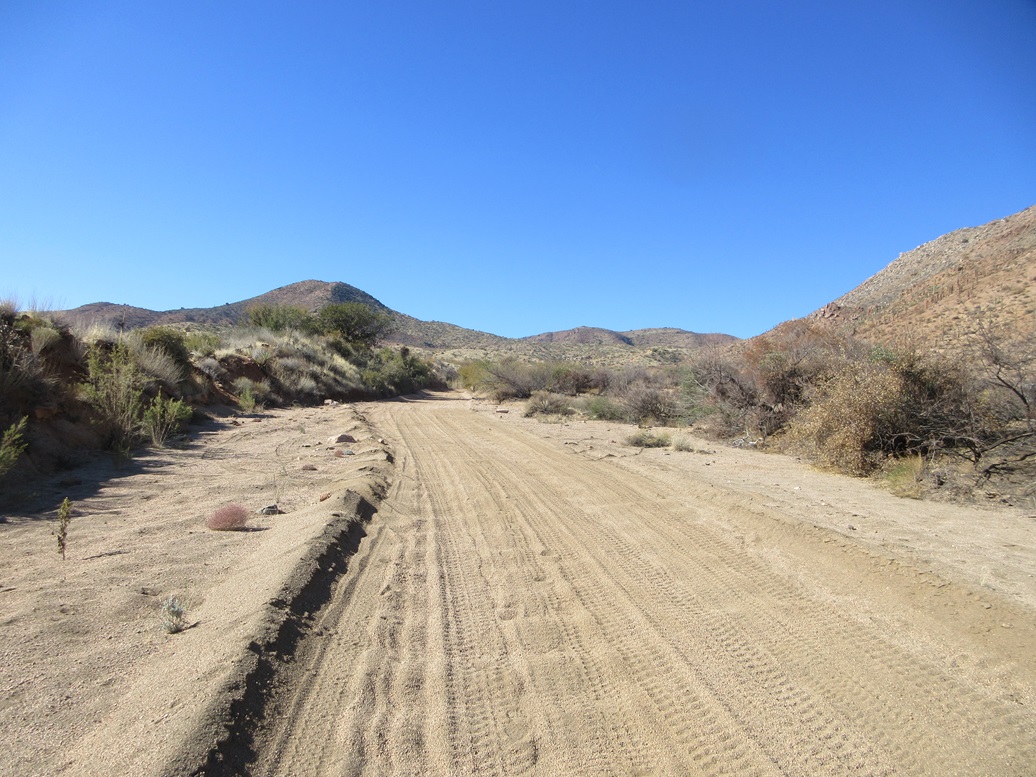
Walking up the lower road. The peak ahead is not Pinyon Mountain, which is behind it about another mile
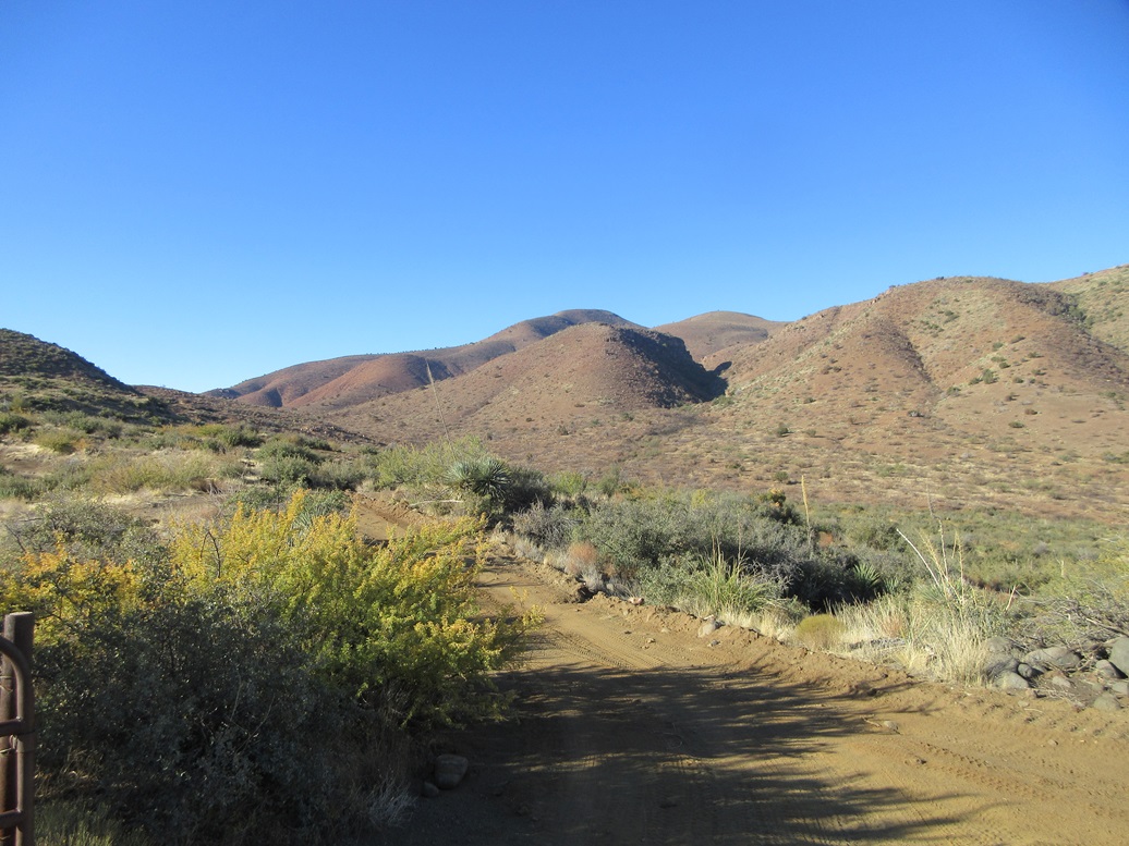
First views of Pinyon Mountain at about halfway in
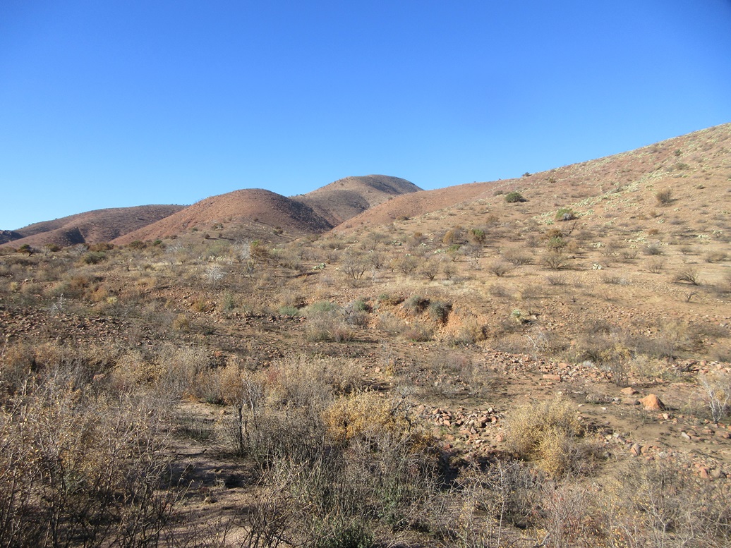
Closer in
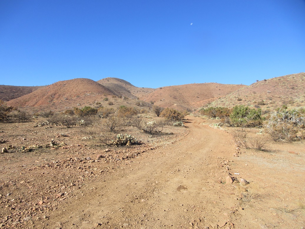
At a saddle below the peak, the road now goes up to the right
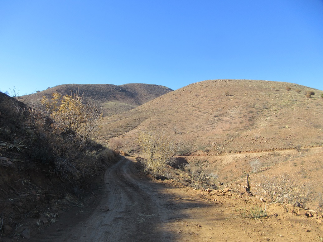
Almost to where I leave the road and catch the Arizona Trail
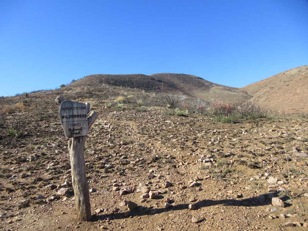
Superstition Wilderness sign
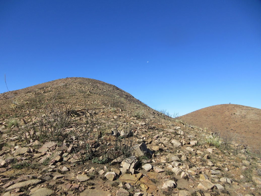
Marching up the bare slopes, a lower peak to the right with what may be a pinyon tree on it
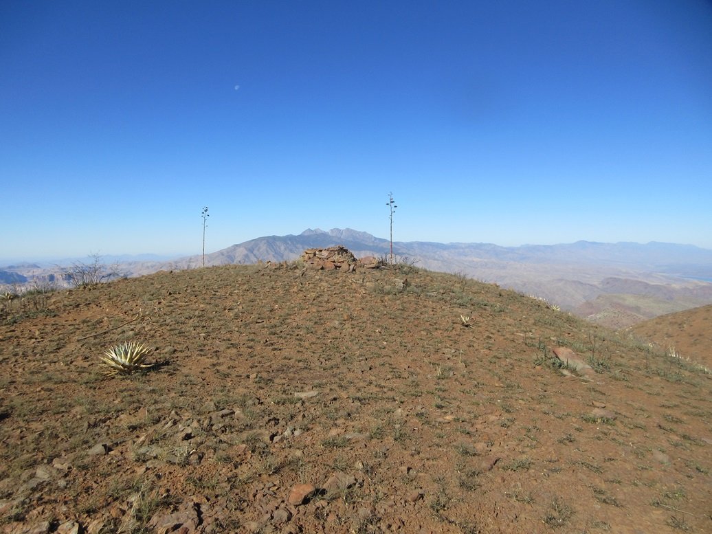
Summit windbreak ahead, Four Peaks and the moon
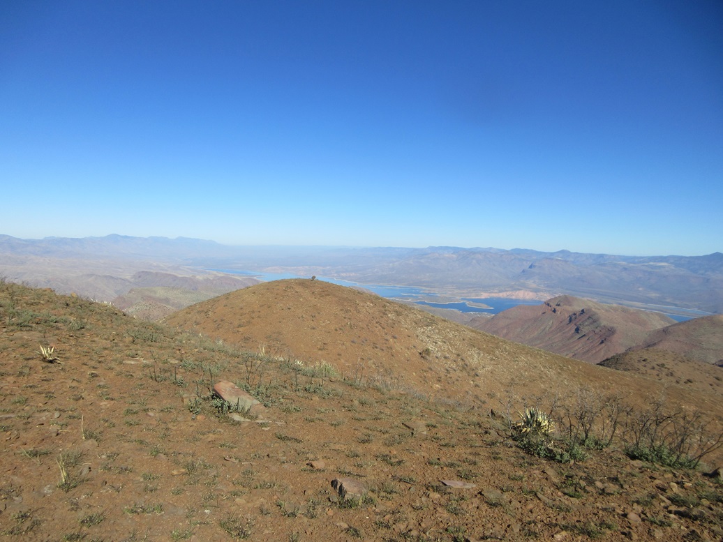
View north
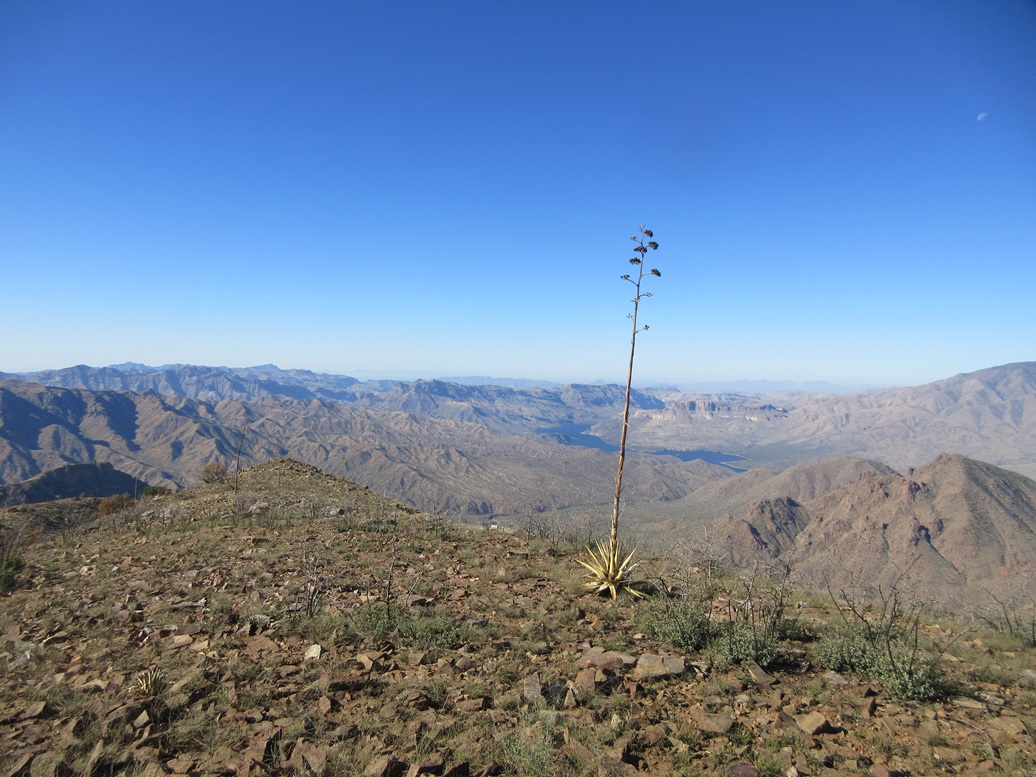
West, Apache Lake
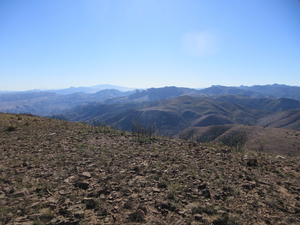
South, Two Bar Mountain
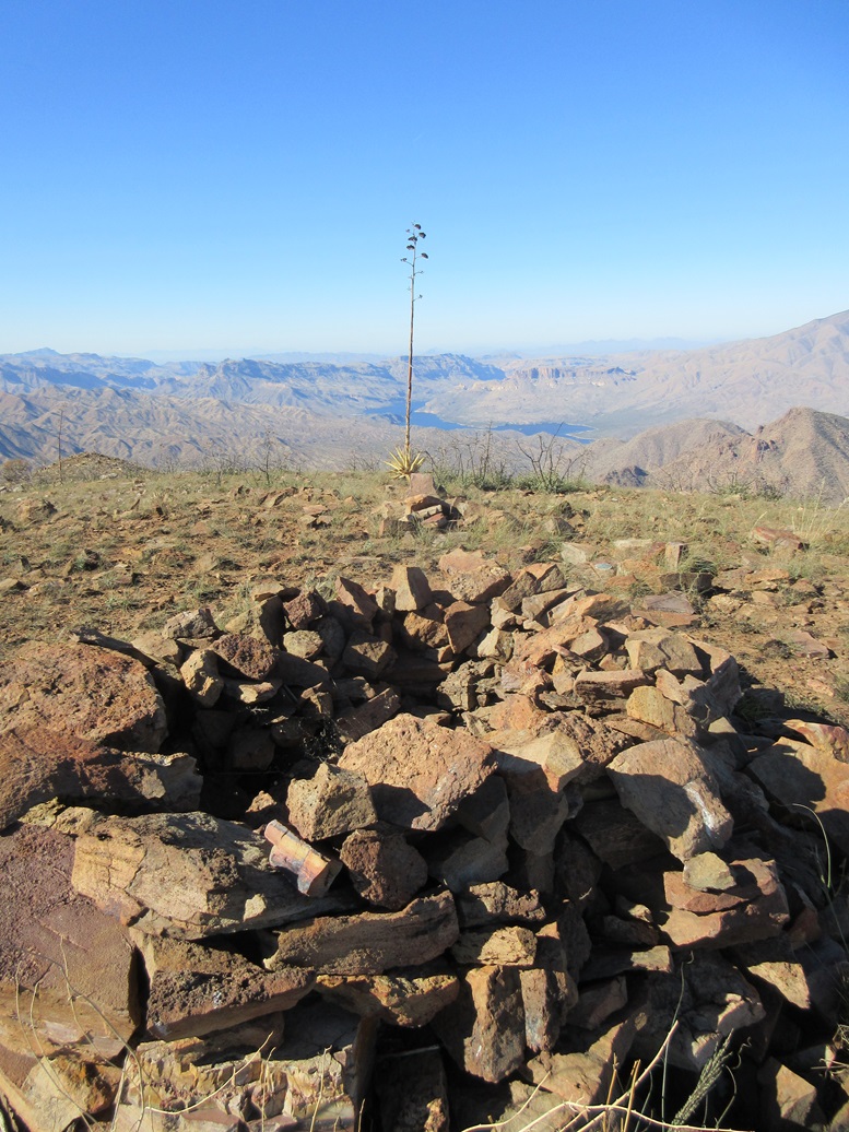
The windbreak looking west
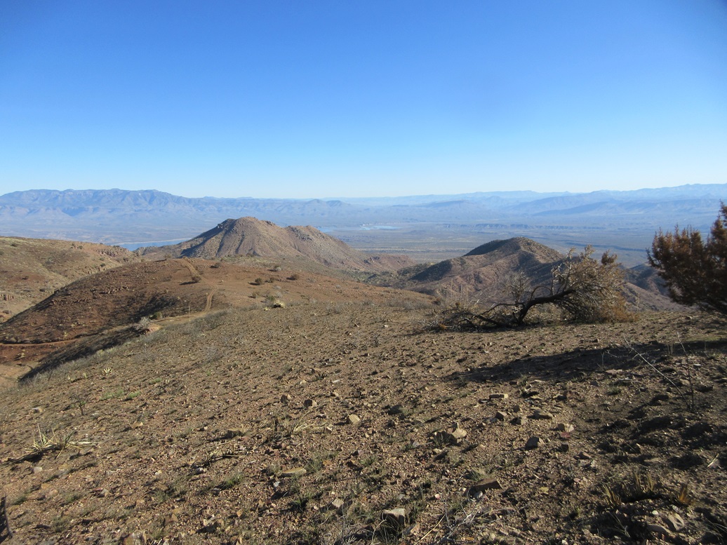
Two peaks I didn't climb looking east. The one on the right is the same one as in the first image
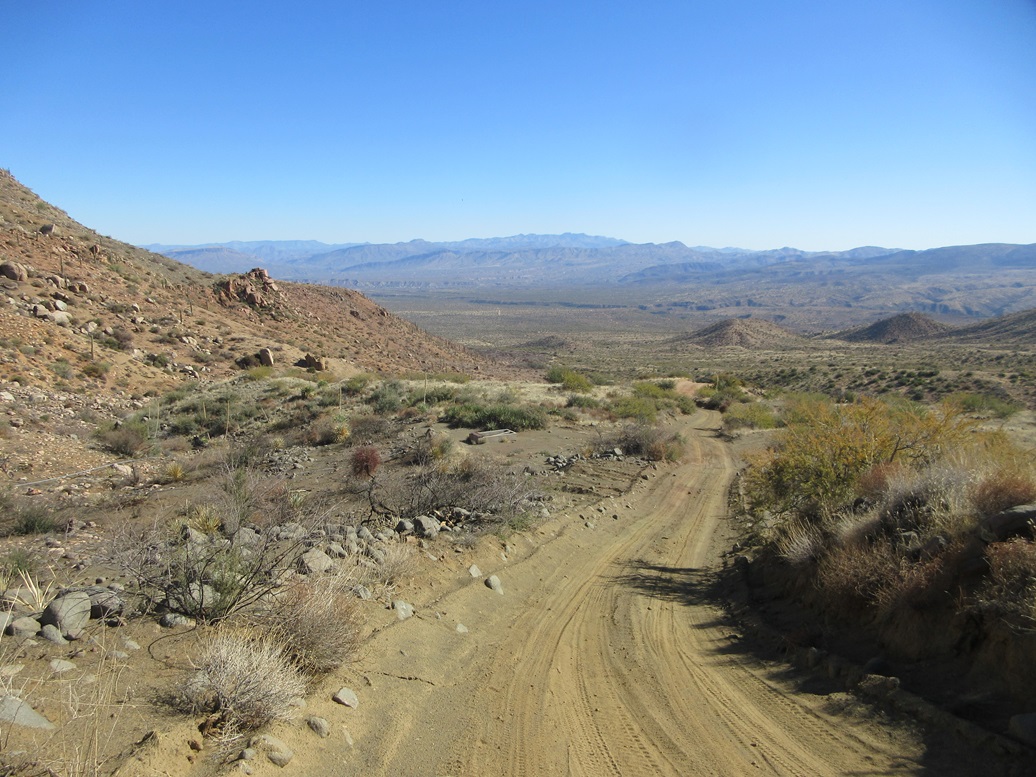
Walking down now
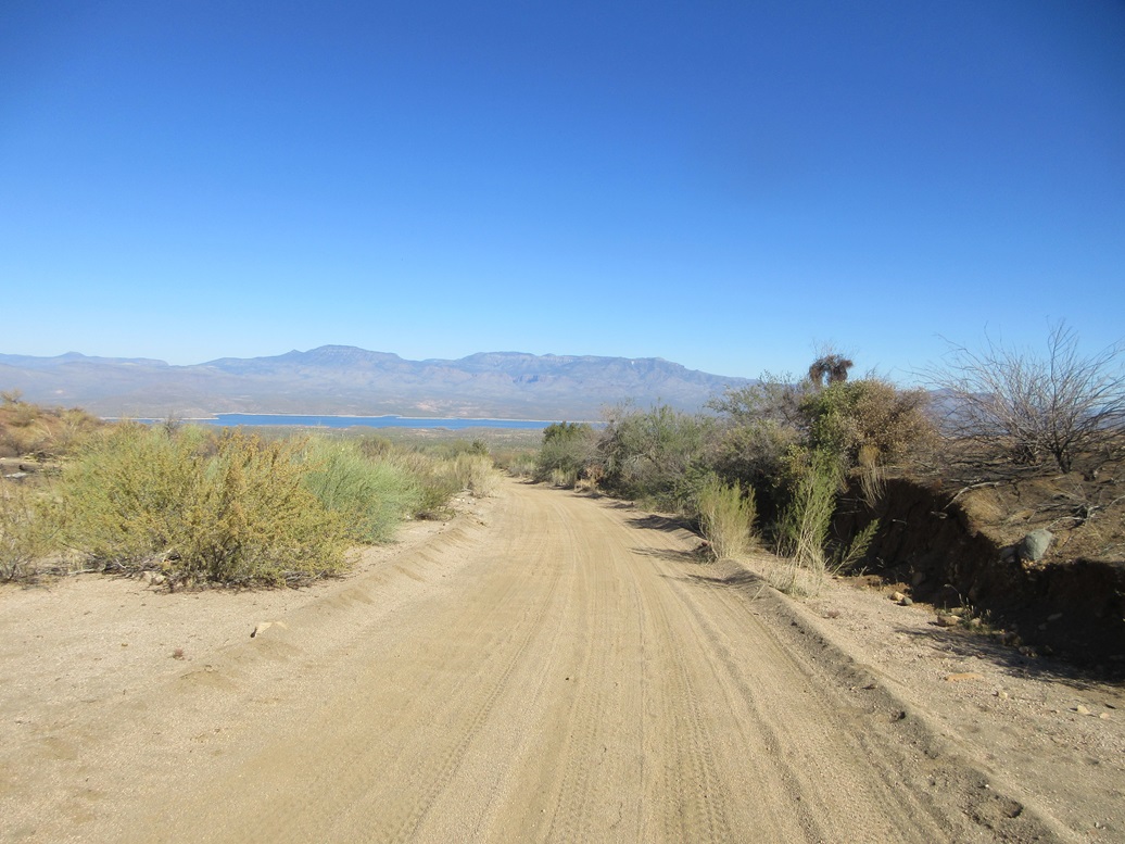
Almost down, Roosevelt Lake and the Sierra Ancha. The white splotch is mine tailings near Asbestos Point. The peak to the left is Armer Mountain
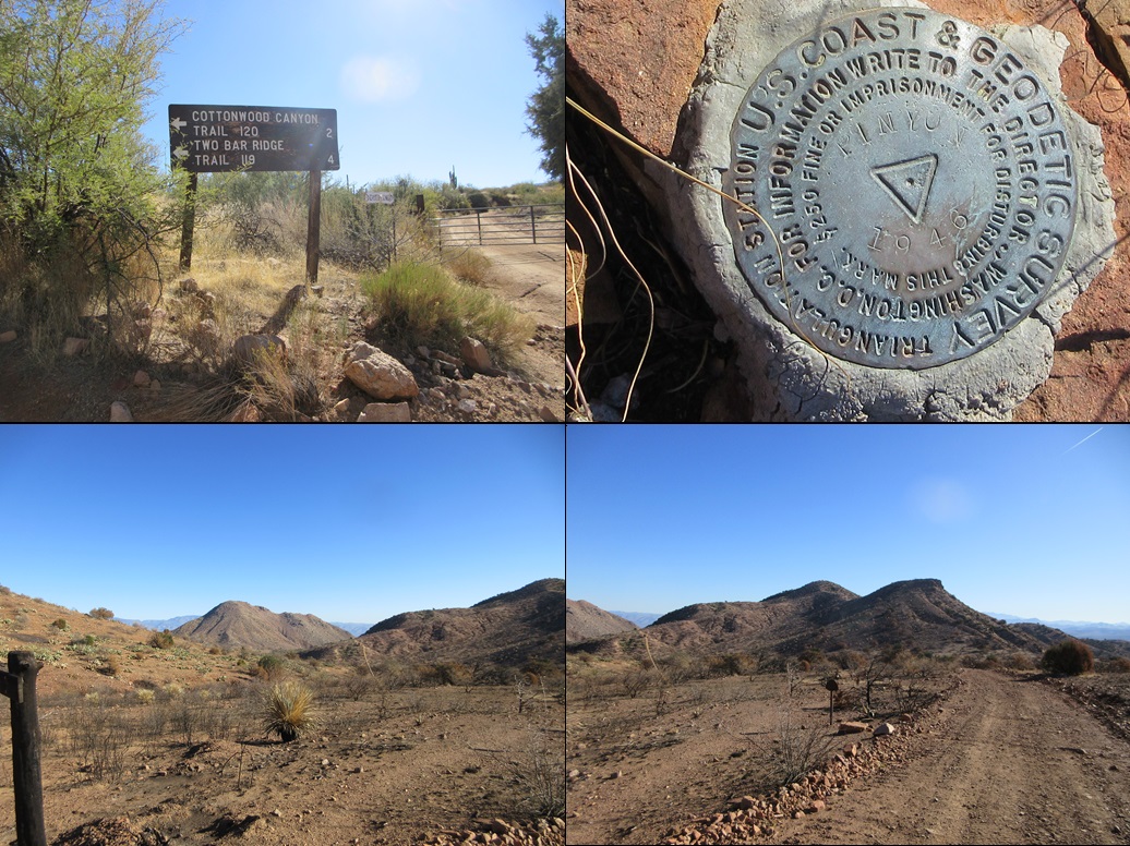
Important sign on the road in, the benchmarks, and those two peaks again
Arizona Page • Main Page • Trip Report
(c) 2024 Scott Surgent. For entertainment purposes only. This report is not meant to replace maps, compass, gps and other common sense hiking/navigation items. Neither I nor the webhost can be held responsible for unfortunate situations that may arise based on these trip reports. Conditions (physical and legal) change over time! Some of these hikes are major mountaineering or backpacking endeavors that require skill, proper gear, proper fitness and general experience.