February 17, 2024
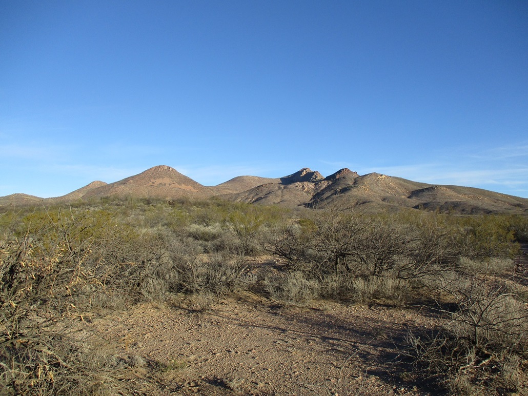
Starting the hike, aiming for the canyon ahead. The peaks cannot be seen yet. The rocky peak seen here is the lower summit along the ridge south of the peaks
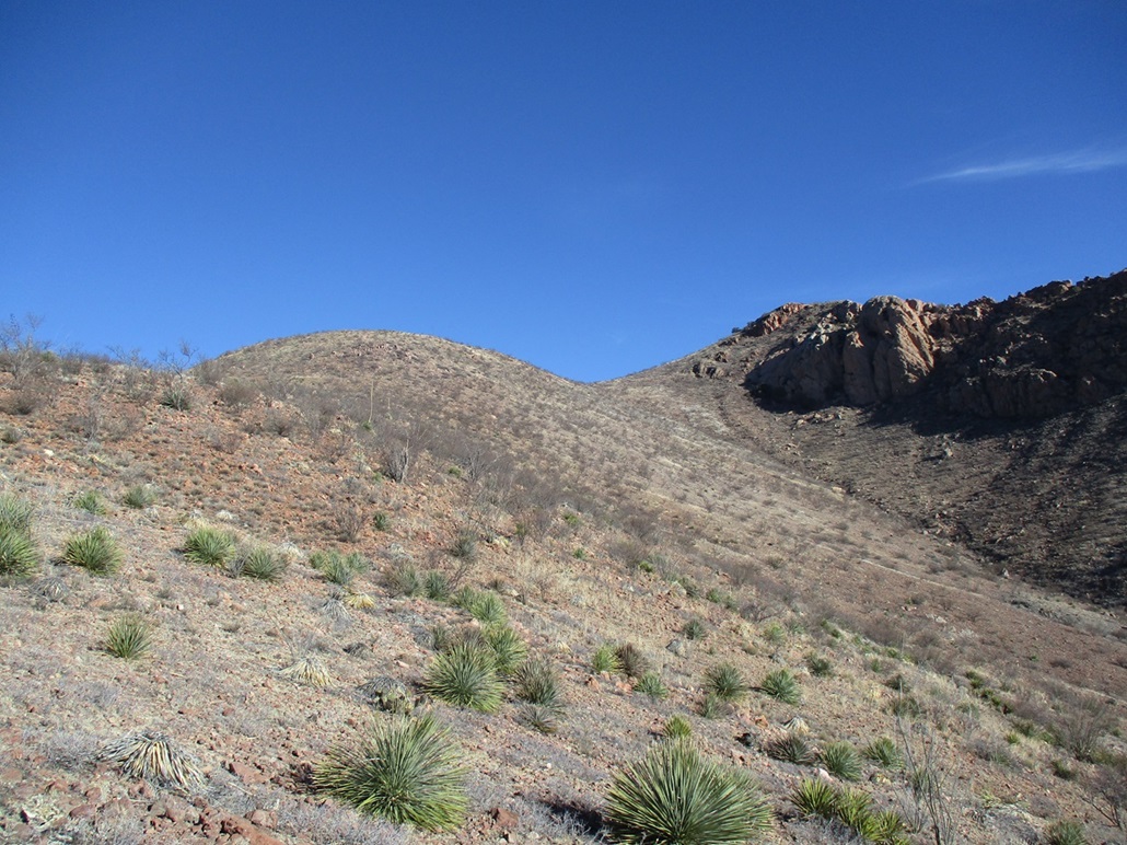
Now out of the canyon up onto the slopes. My route would go over the bluff ahead of me, and to the left of the rocky cliffs seen in back
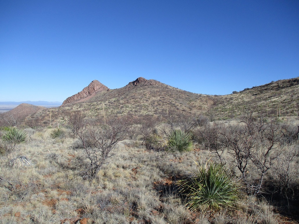
There they are, highpoint peak (left) and benchmark peak (right)

Approaching the BM peak, while the HP peak is seen in back
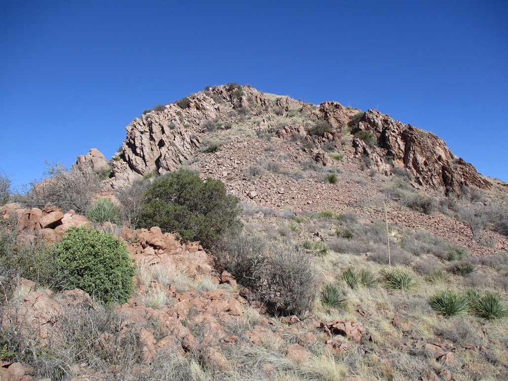
The slope up to the BM peak

Almost to the BM peak
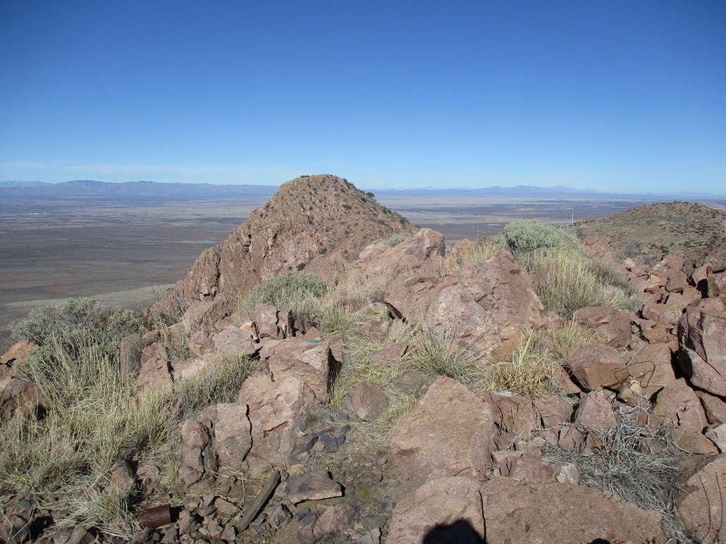
View of the HP peak from the BM peak
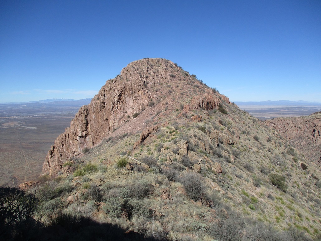
Descending off the BM peak, looking over at what awaits me
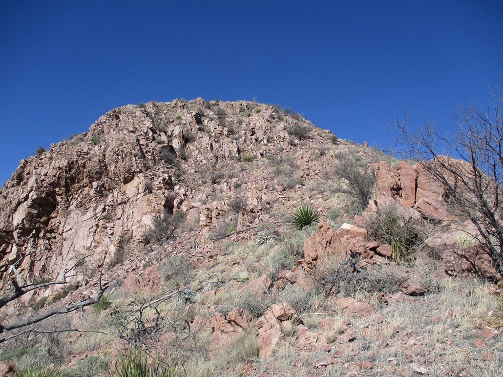
This is how you get up the HP peak
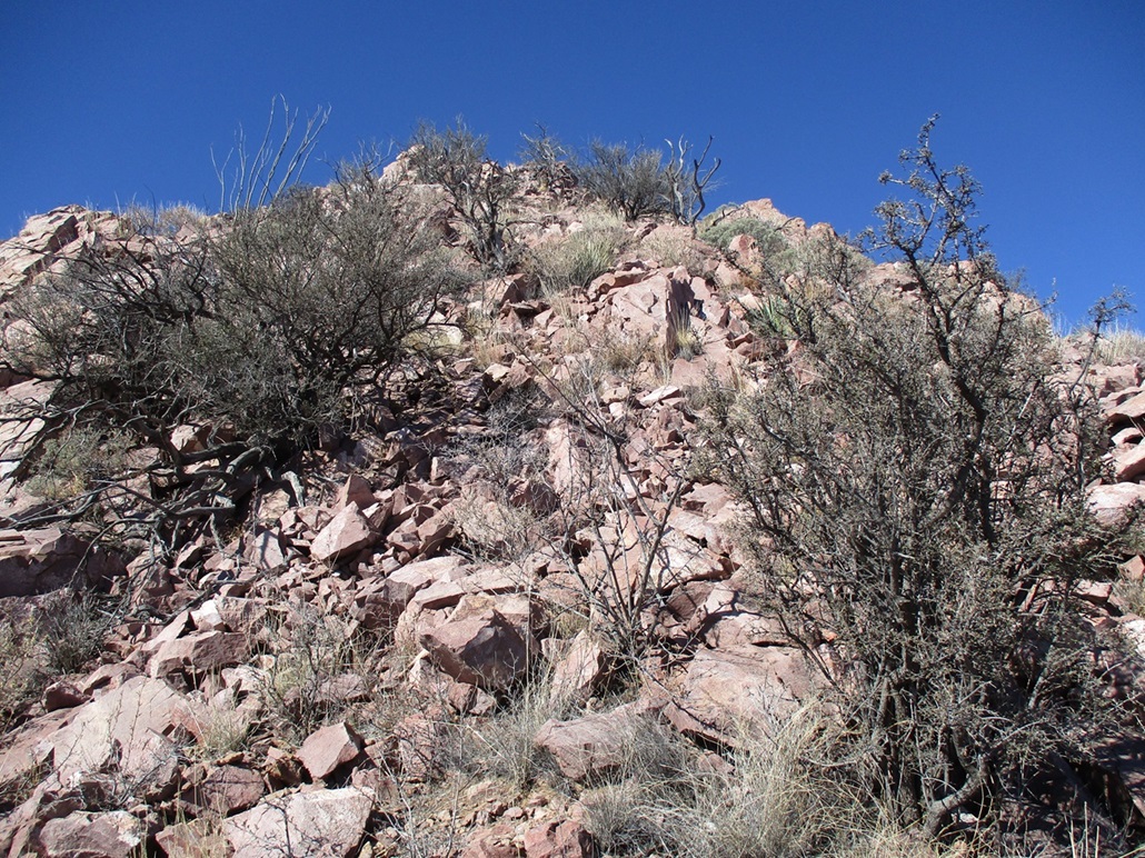
About halfway up, it's just a slope of rocks, big and small, some solid, some loose

On the summit of the HP! View north
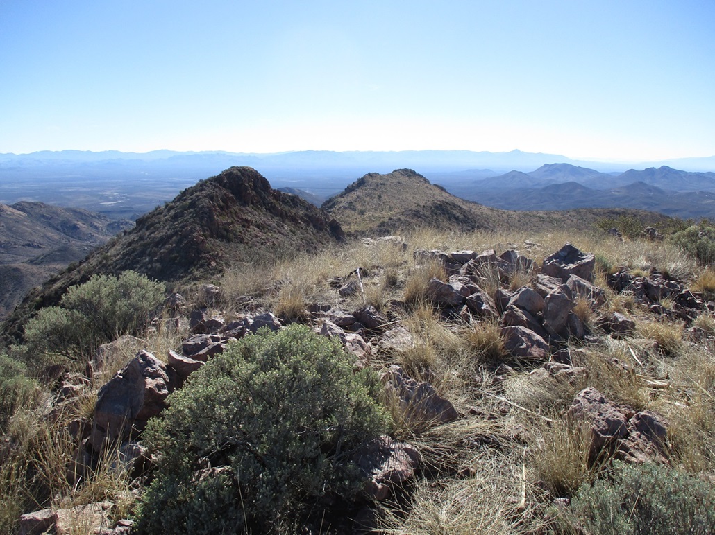
View south from the summit of the HP peak, looking over at the BM peak
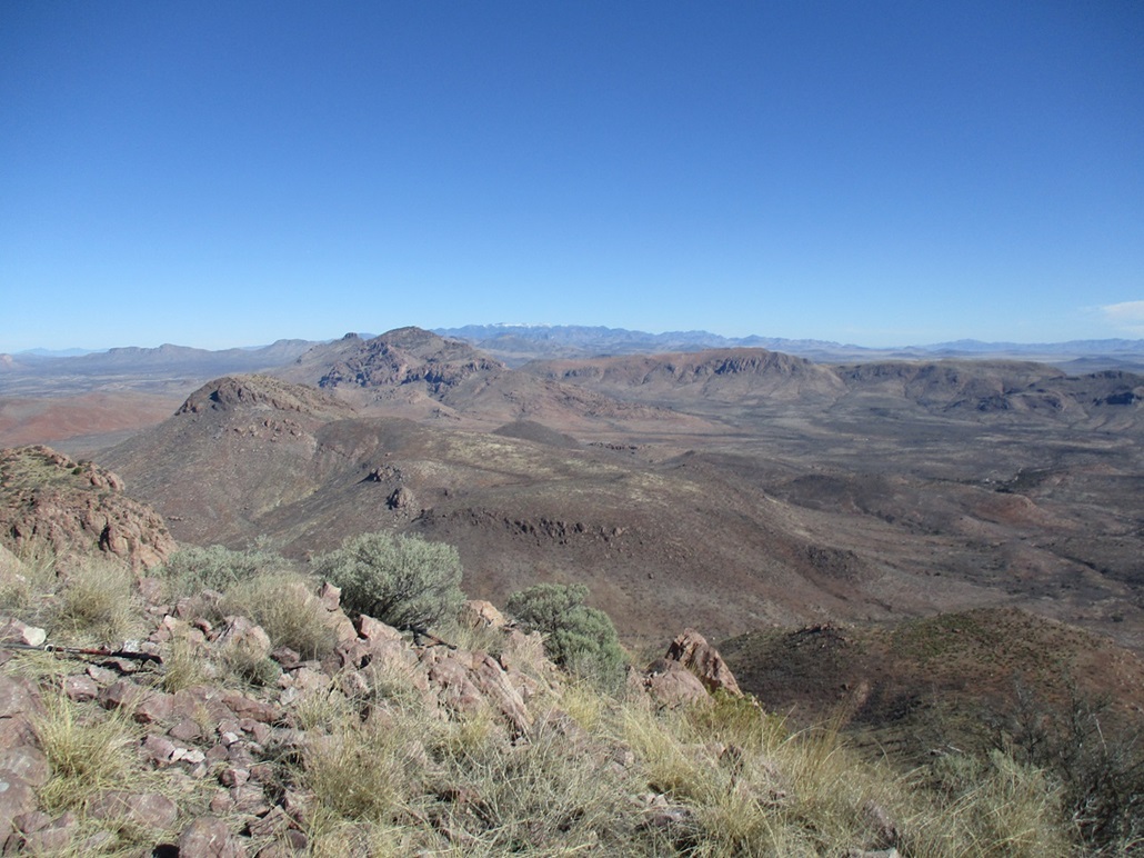
Northeast view, College Peaks in the near distance, the Chiricahuas in back
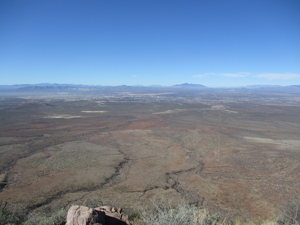
Southwest: Douglas and Agua Prieta. The border wall can be seen at the left

Descending the HP peak, looking over at the BM peak
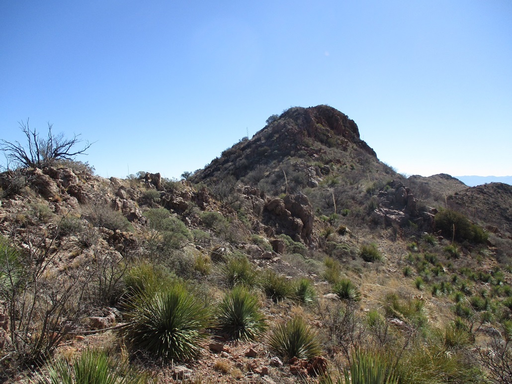
View of the BM peak from the saddle below it
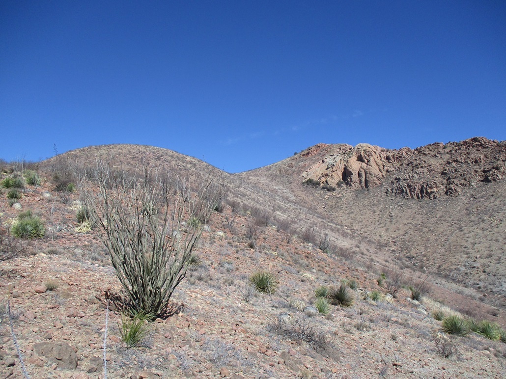
Exiting, same view as Pic 2, but with less shadows
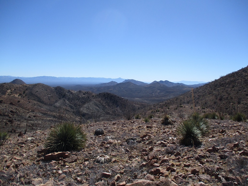
South, the canyon out
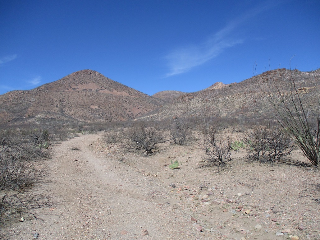
Now on the road, looking back at the canyon mouth
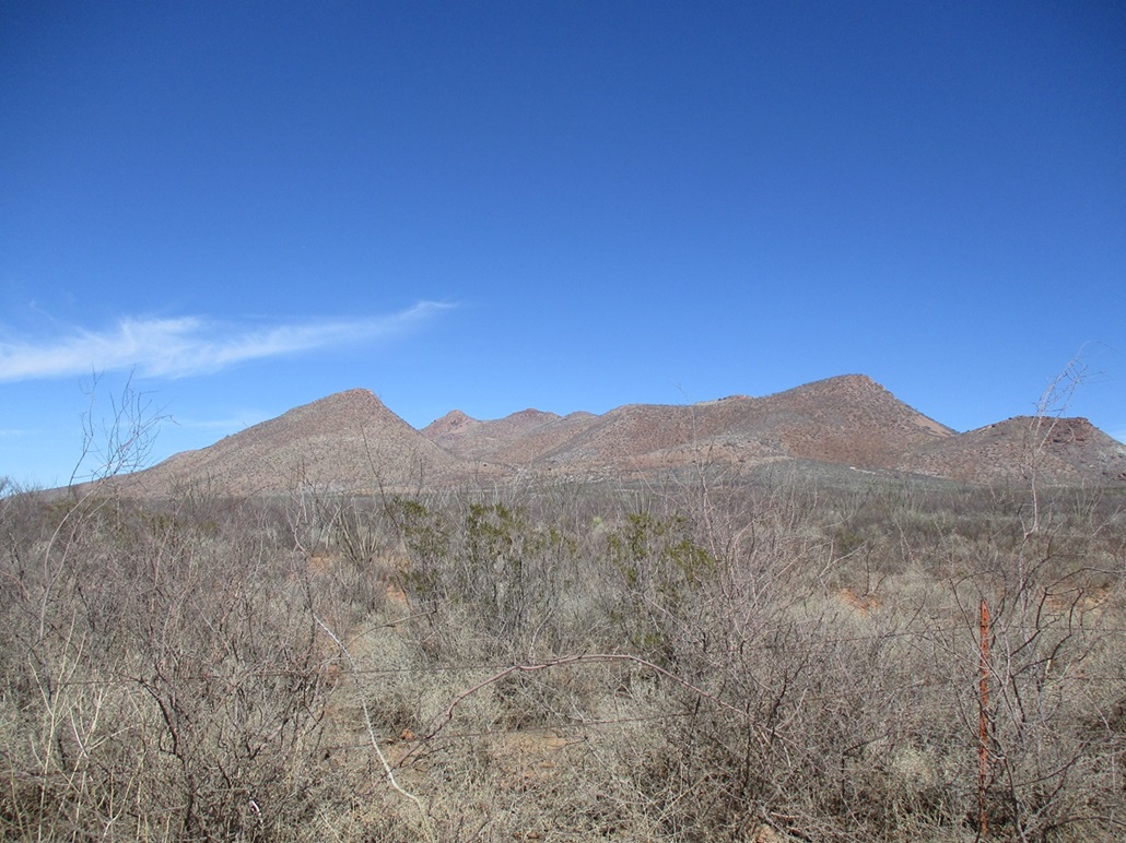
Perilla Mountain peaks as seen from the Geronimo Trail

Now seen more from the west

Old windmill and check dam in the canyon, the Benchmark, Cerro Gallardo looks like a tough hombre just over the line in Mexico, and something for the kids along the Geronimo Trail
Arizona Page • Main Page • Trip Report
(c) 2024 Scott Surgent. For entertainment purposes only. This report is not meant to replace maps, compass, gps and other common sense hiking/navigation items. Neither I nor the webhost can be held responsible for unfortunate situations that may arise based on these trip reports. Conditions (physical and legal) change over time! Some of these hikes are major mountaineering or backpacking endeavors that require skill, proper gear, proper fitness and general experience.