August 16, 2014
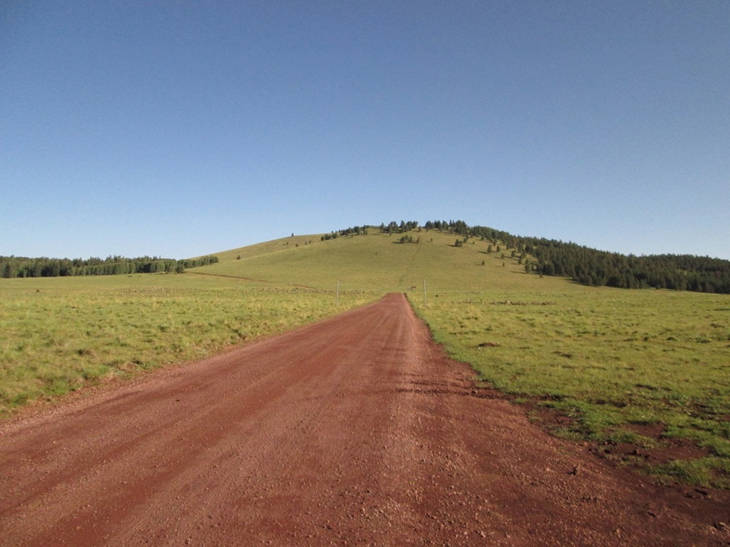
Peak 9947
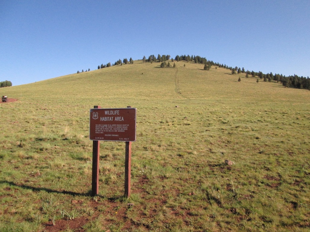
Sign at the road junction
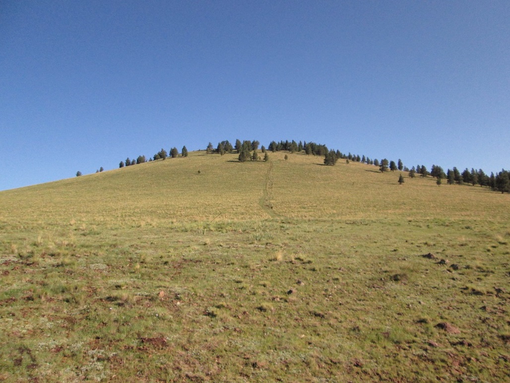
The old track that I hiked
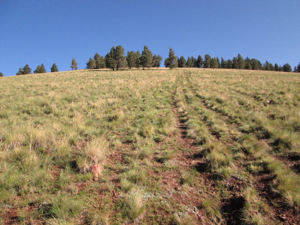
Nearing the top of the first ridge

The summit across the way
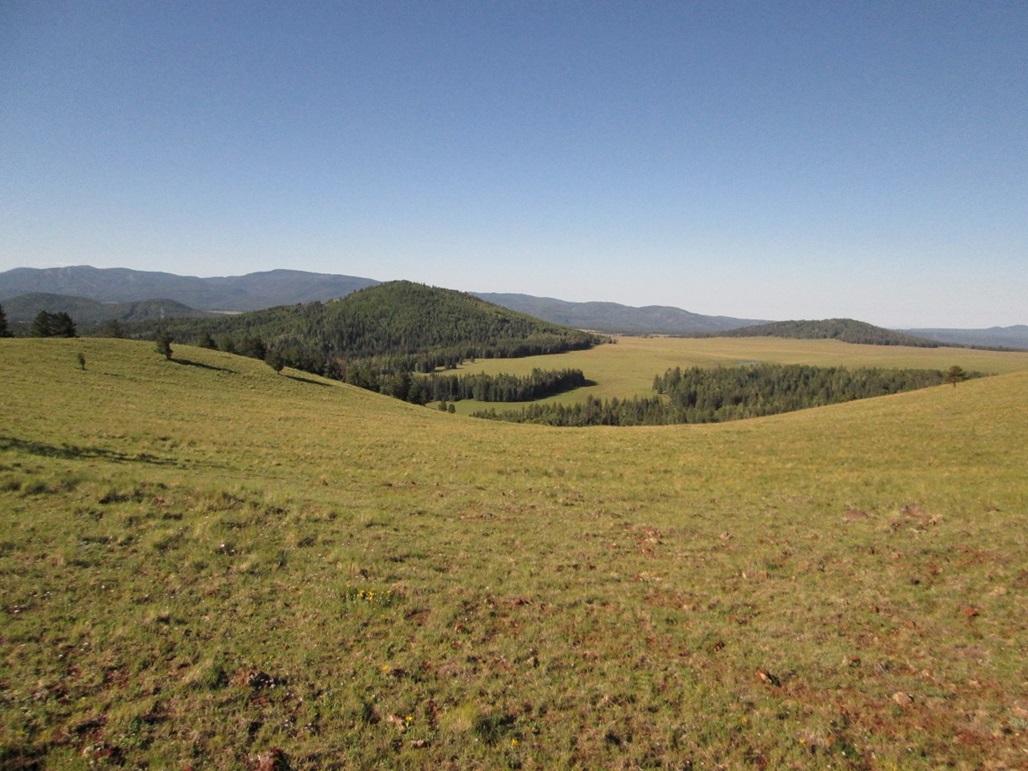
Southwest view toward Peak 9913
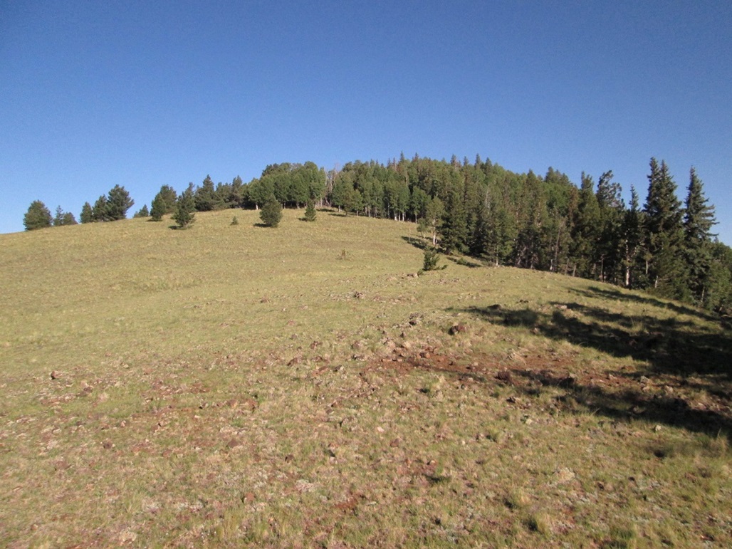
Almost at the top
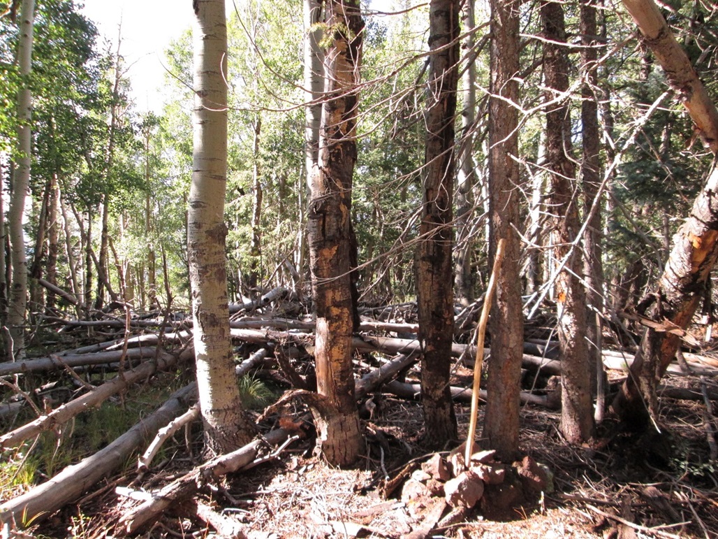
The top is in the trees
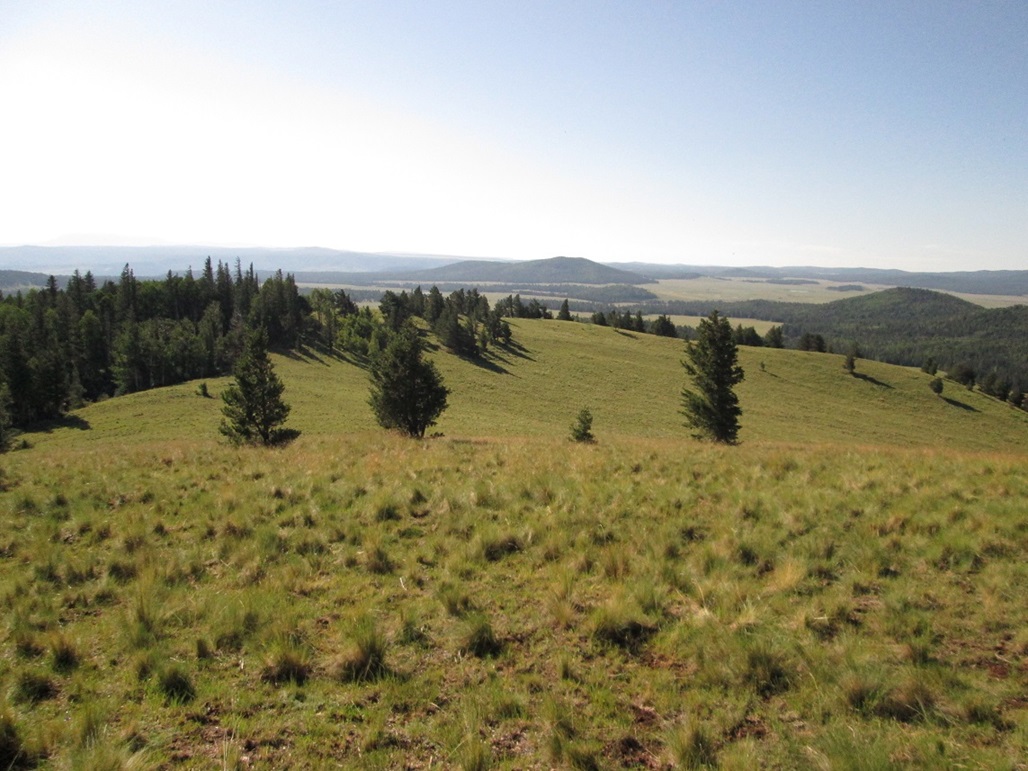
Looking back toward the ridge I ascended
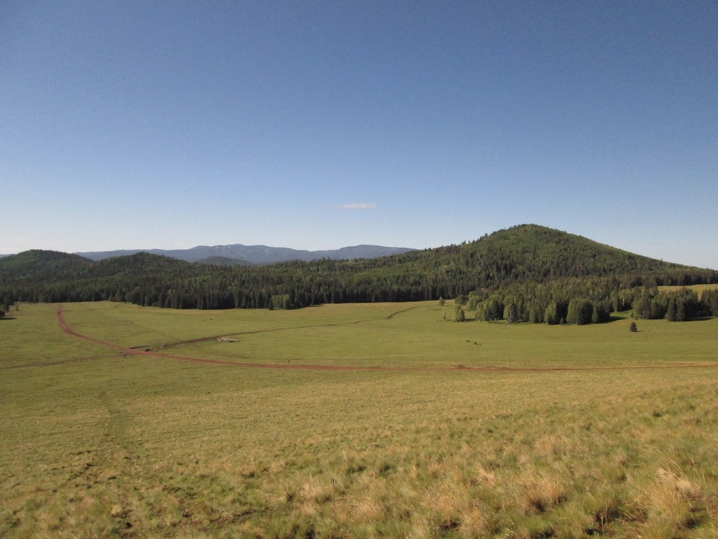
Hiking down. My truck is barely visible down there. Peak 9913 is in view
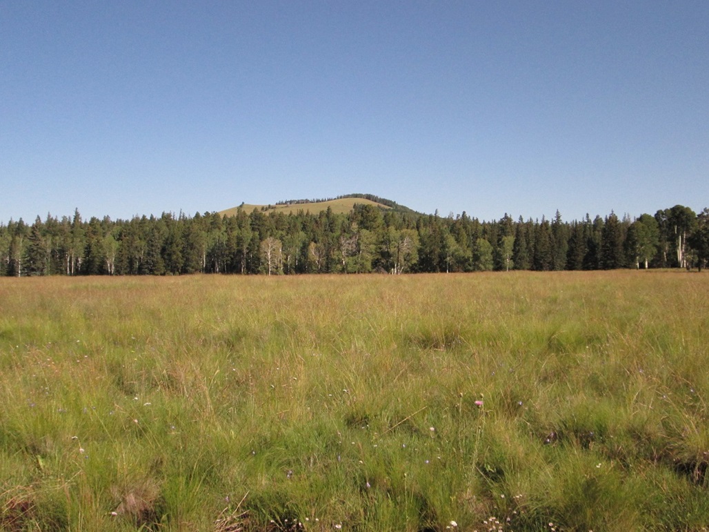
Peak 9913, a.k.a Cow Hill
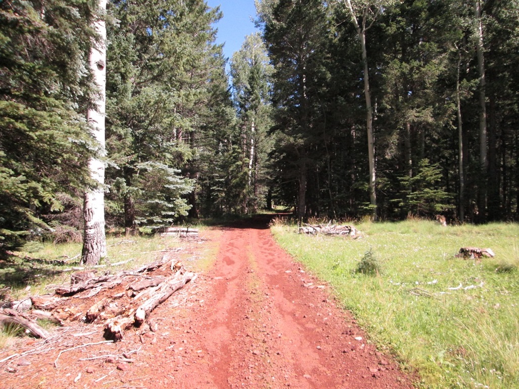
Lower road through the forest
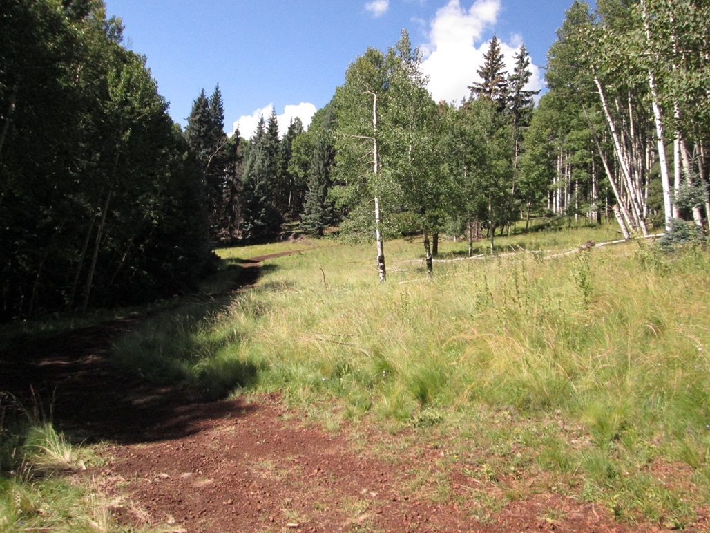
Road starts to break into the open and get steeper
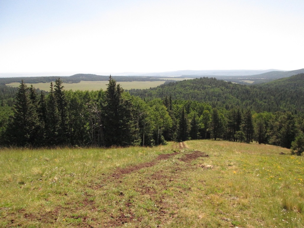
The steepest part where the road leaves the trees and enters onto the upper ridge
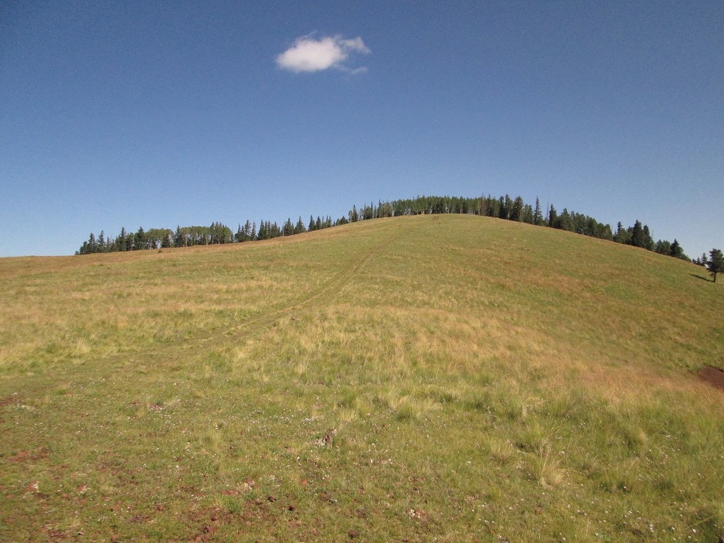
And the summit isn't that far away
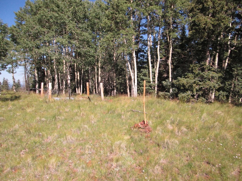
Stick Scott at the top

Looking south toward Mount Baldy
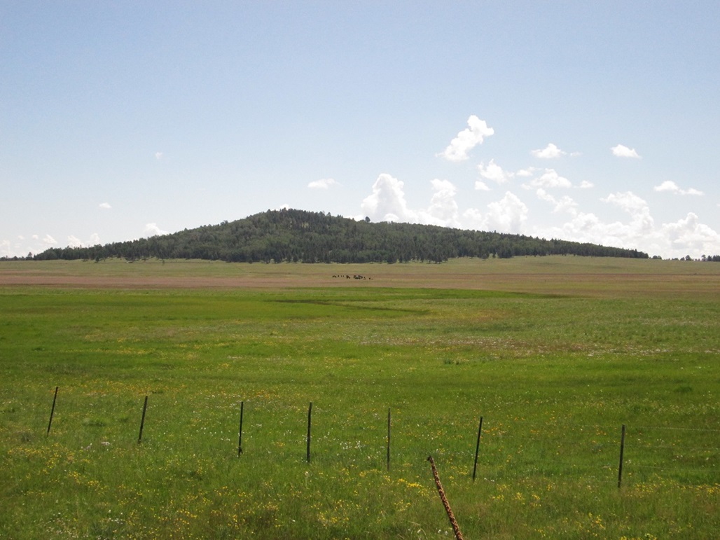
Boardshack Knoll
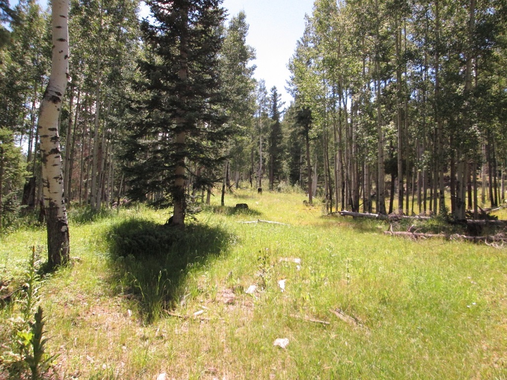
Initial hike into the trees
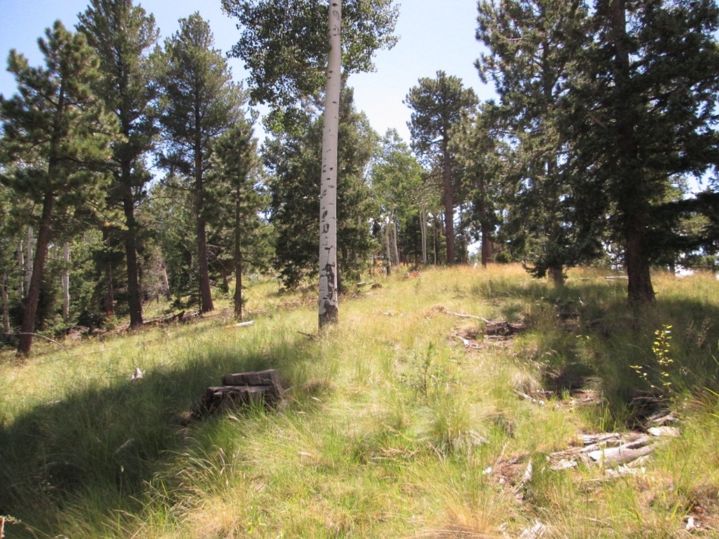
Approaching the top...
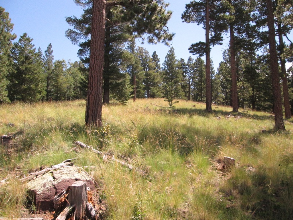
...closer...
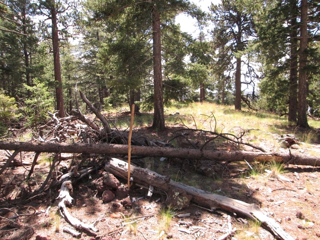
And we're there
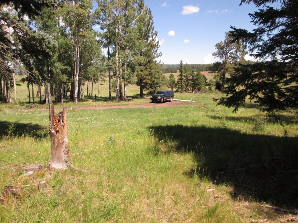
Returning to my truck
Arizona Page • Main Page • Trip Report
(c) 2022 Scott Surgent. For entertainment purposes only. This report is not meant to replace maps, compass, gps and other common sense hiking/navigation items. Neither I nor the webhost can be held responsible for unfortunate situations that may arise based on these trip reports. Conditions (physical and legal) change over time! Some of these hikes are major mountaineering or backpacking endeavors that require skill, proper gear, proper fitness and general experience.