April 13, 2024
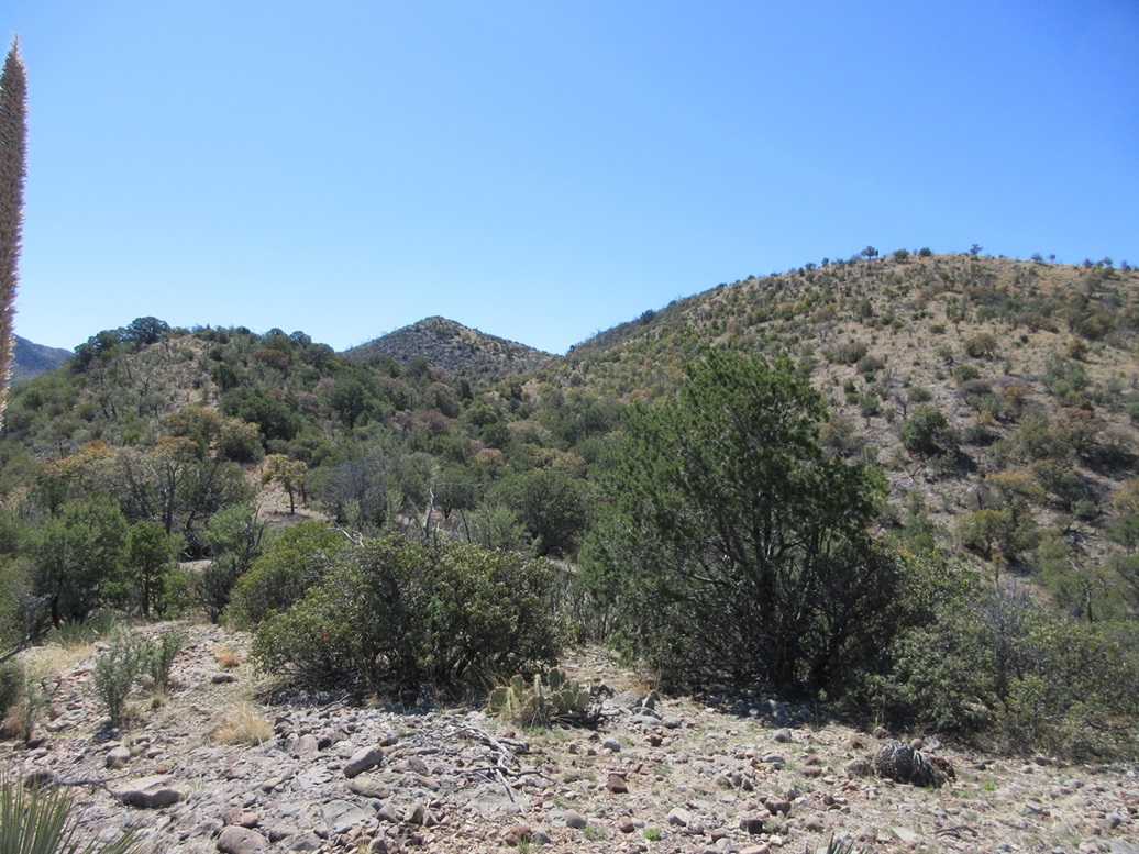
On the ridge, aiming for that pointed peak, which is not the highpoint
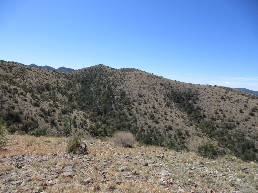
Now I see the highpoint
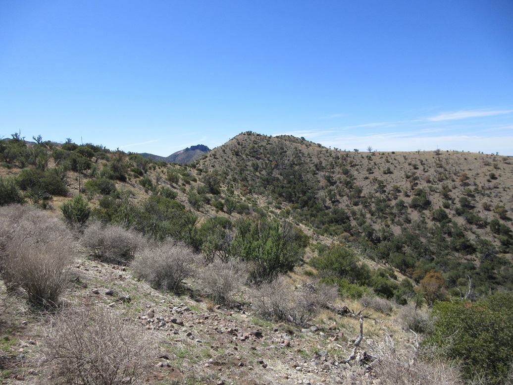
Getting closer
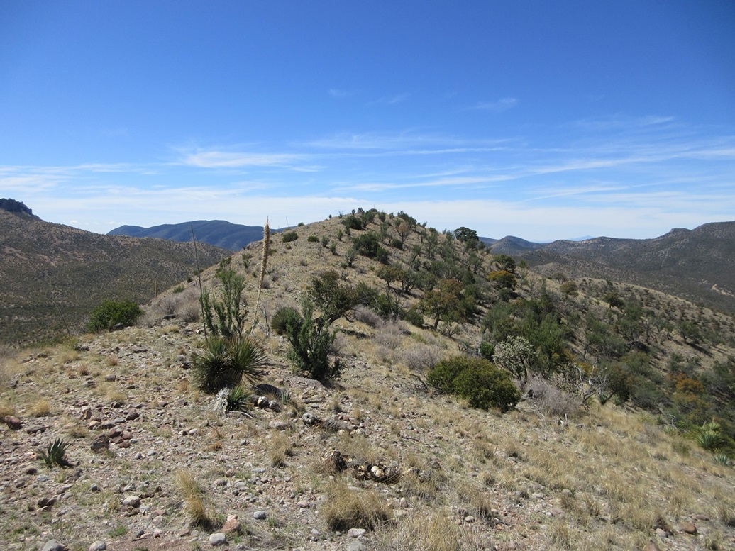
Last slope
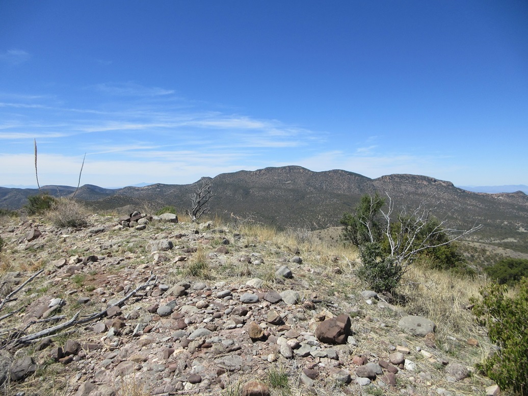
Rucker Benchmark Peak as seen from the summit
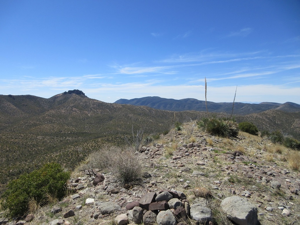
South: Limestone Mountain. The crags are Sunset Peak
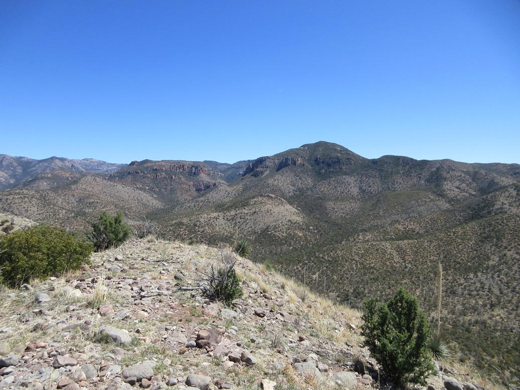
Northeast view, the big peak in front has no name. In back would be Dobson and Ericson but am not sure which one is visible
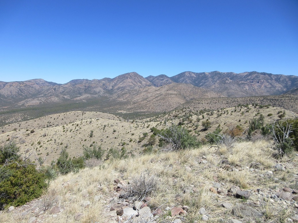
North, the high peaks of the range. Not sure if Chiricahua Peak itself is visible
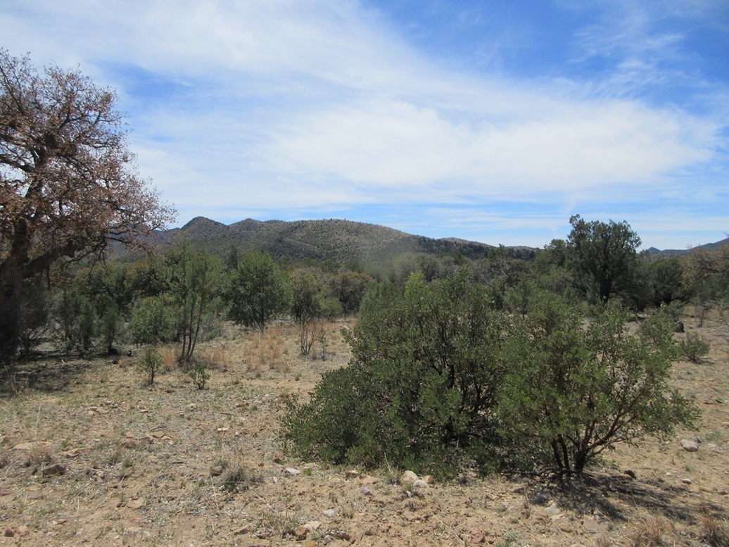
Peak 6569 from the forest road to the north

Peak 6569 as seen from the west, a view of the pointed peak as I hike up, another view of the mountain from the north, and an erroneous sign where Rucker Road meets highway 191. There is no such highway as AZ-191. It should be a US-191 shield. I find this kind of thing amusing
Arizona Page • Main Page • Trip Report
(c) 2024 Scott Surgent. For entertainment purposes only. This report is not meant to replace maps, compass, gps and other common sense hiking/navigation items. Neither I nor the webhost can be held responsible for unfortunate situations that may arise based on these trip reports. Conditions (physical and legal) change over time! Some of these hikes are major mountaineering or backpacking endeavors that require skill, proper gear, proper fitness and general experience.