
Peaks 2799 & 2065, Maricopa Mountains
November 25, 2022

Peak 2799 as viewed from the drainage northeast of the peak
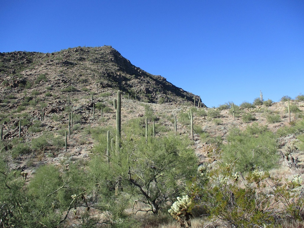
We're about halfway up now, looking at the final haul to the top
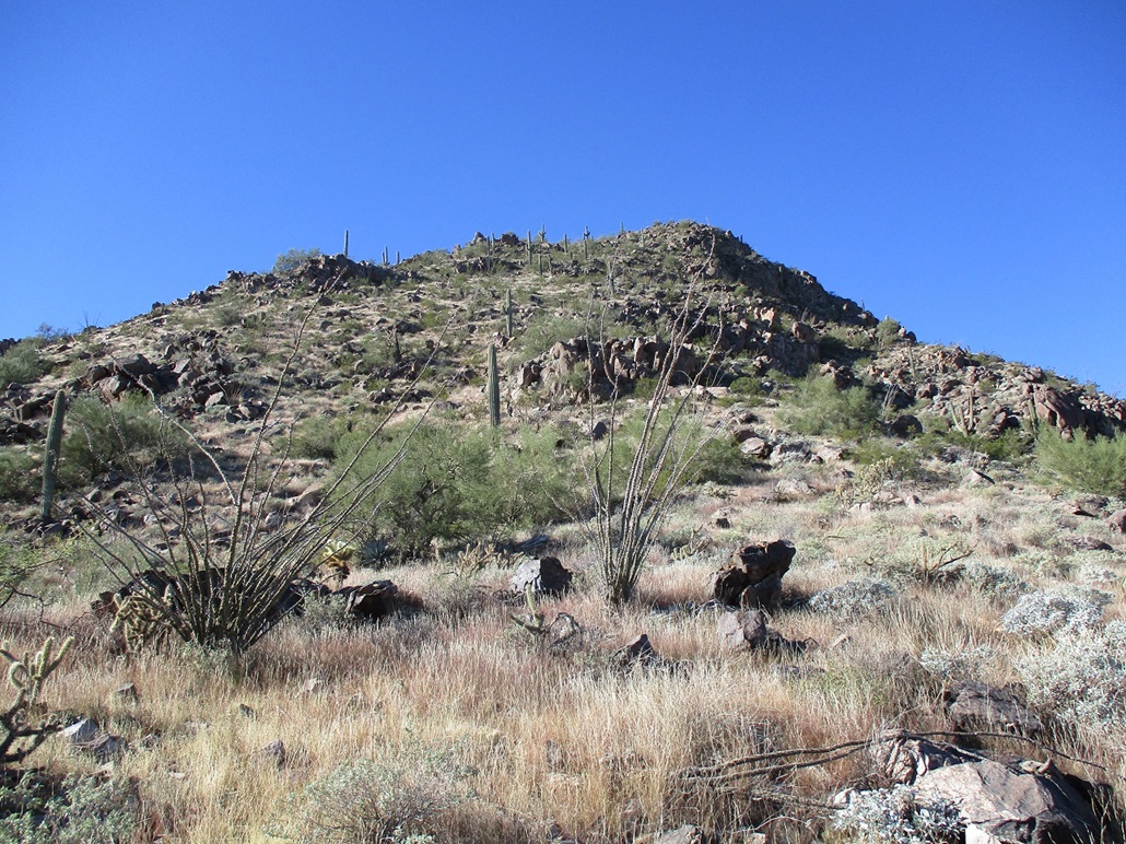
This is the last big slope, as seen from the saddle below. It looks mellow, and it (mostly) is. However, it is very steep at the top
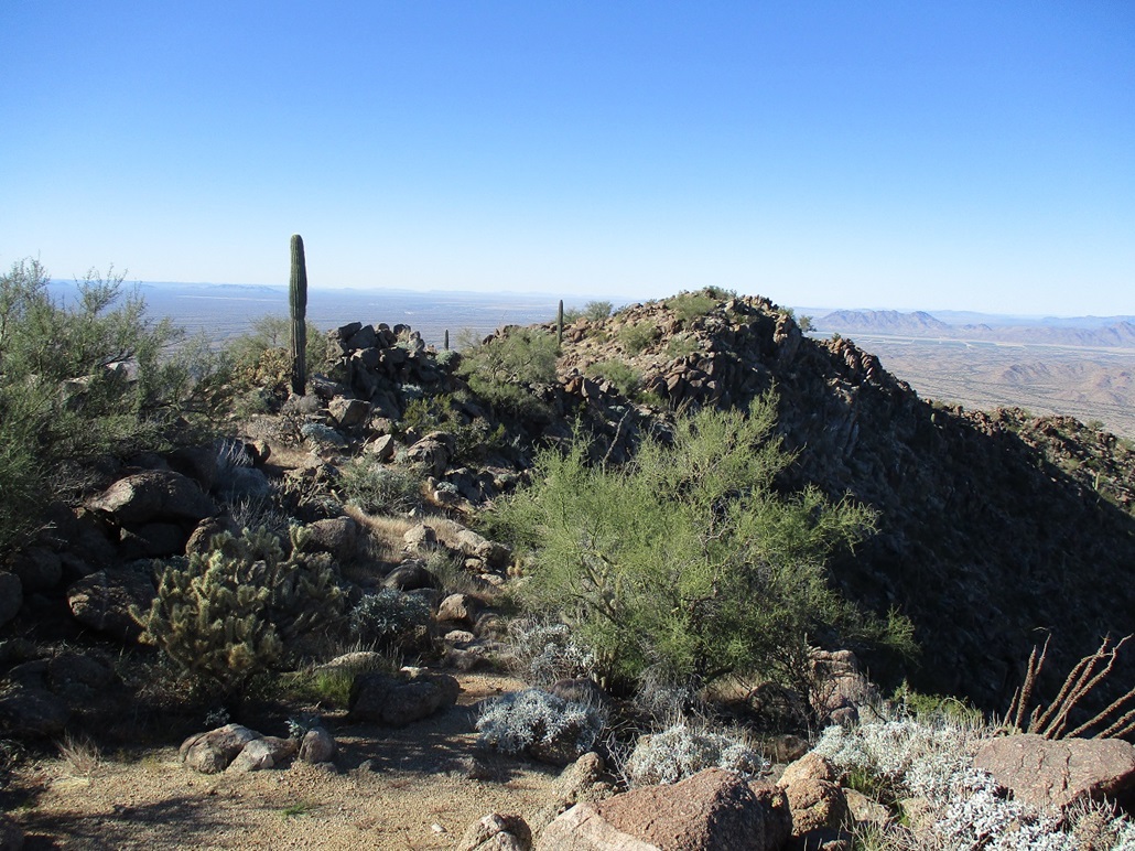
On the summit ridge, the highpoint up ahead
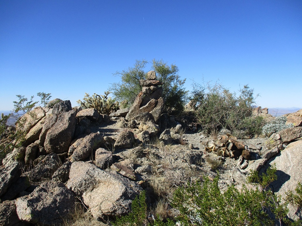
Highpoint cairn
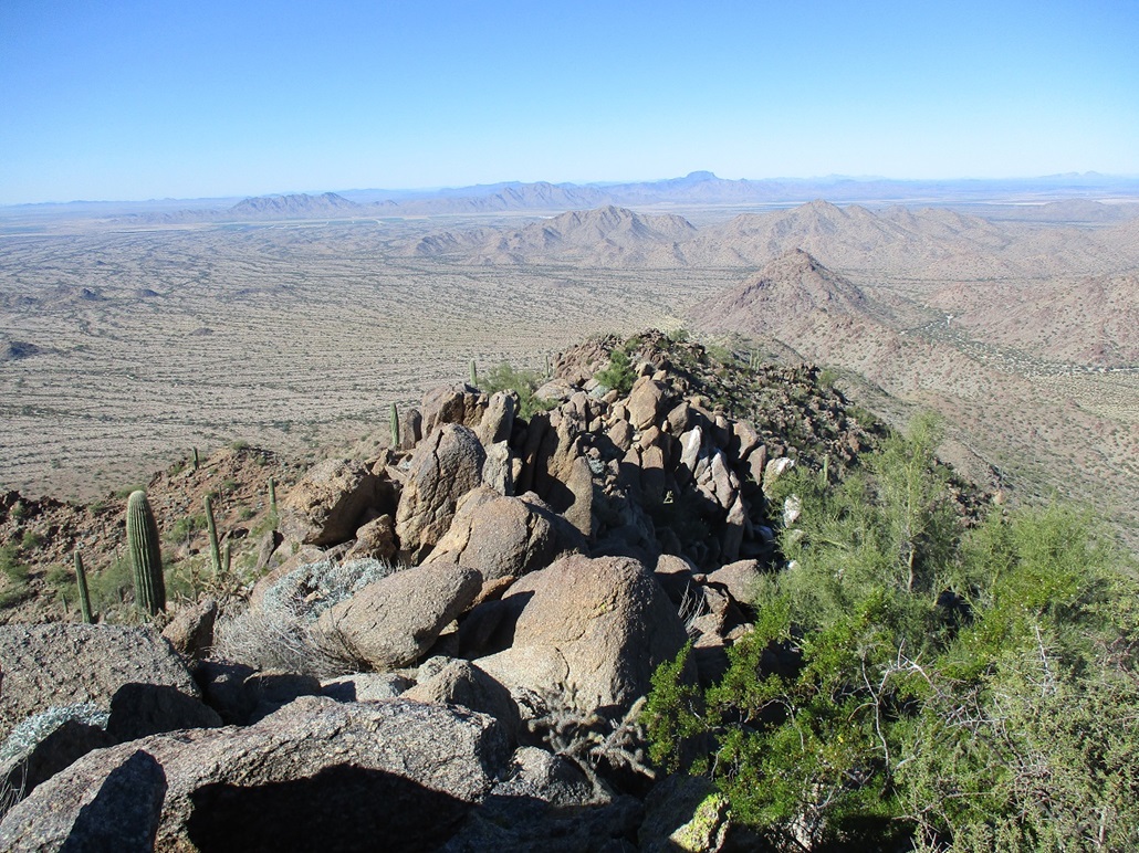
View west from the summit. Woolsey Peak can be seen
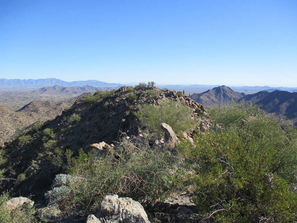
View east at the ridge we just followed
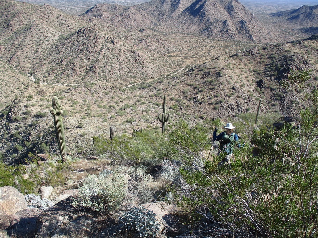
Starting down, this gives a sense how steep it is
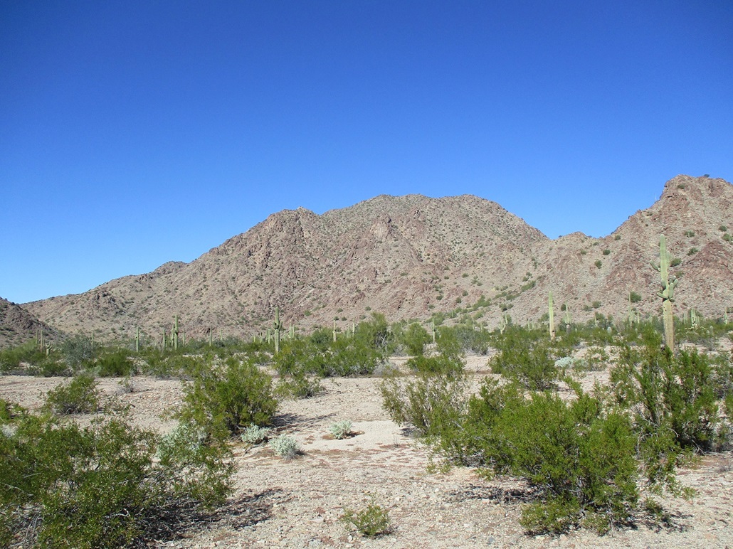
Peak 2799 as viewed from the south, along the road through Butterfield Pass
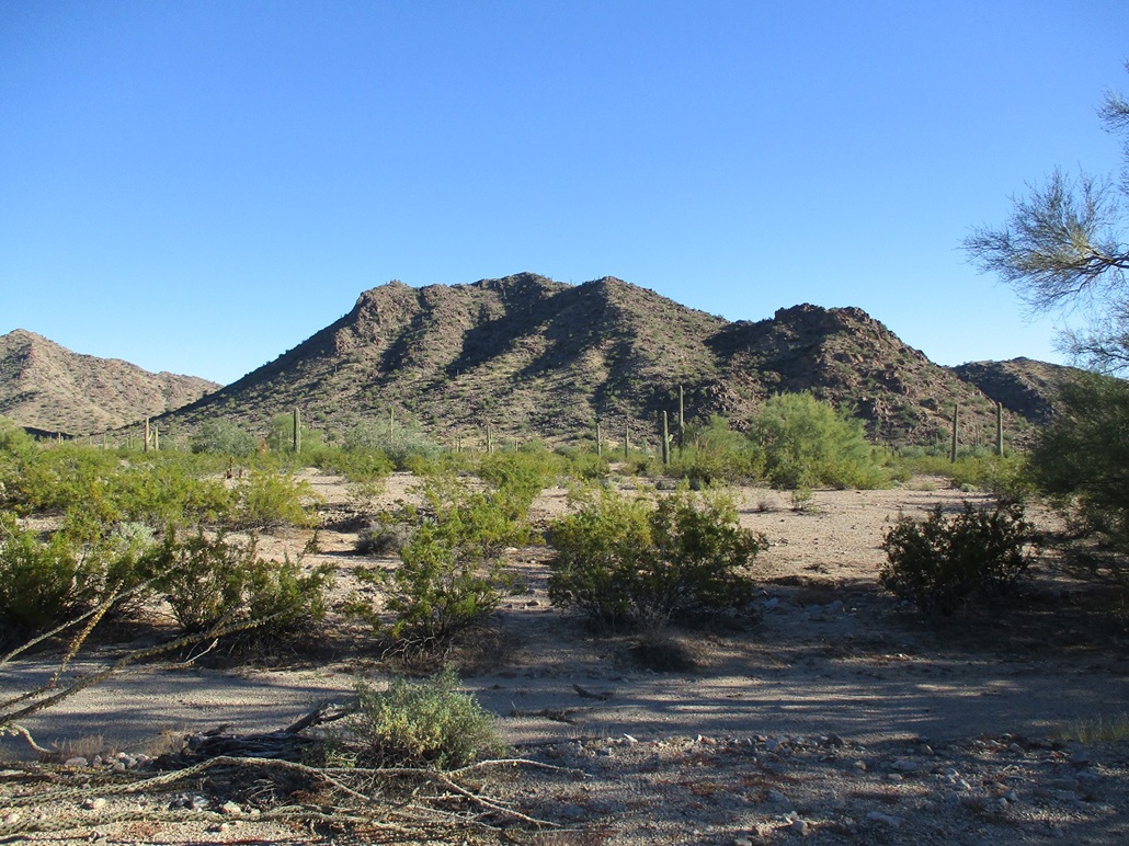
Peak 2065
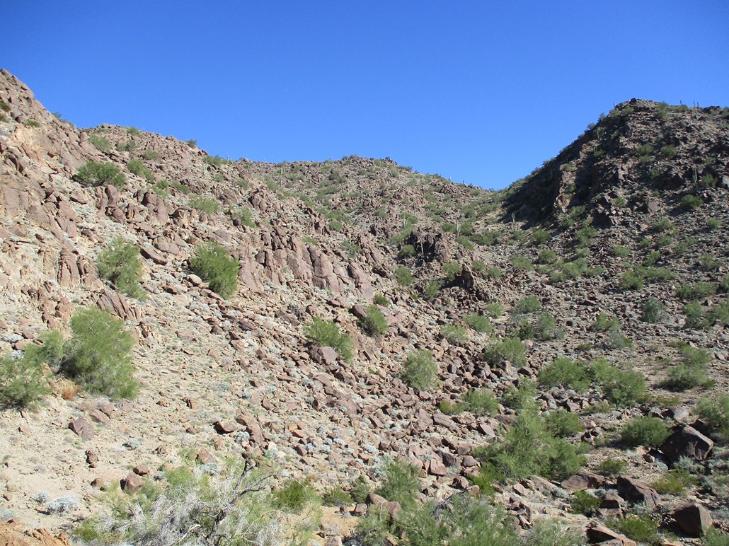
A view of the west-facing drainage we would follow. We followed the right drainage at first but quickly got onto the rocky ridge to the left-middle
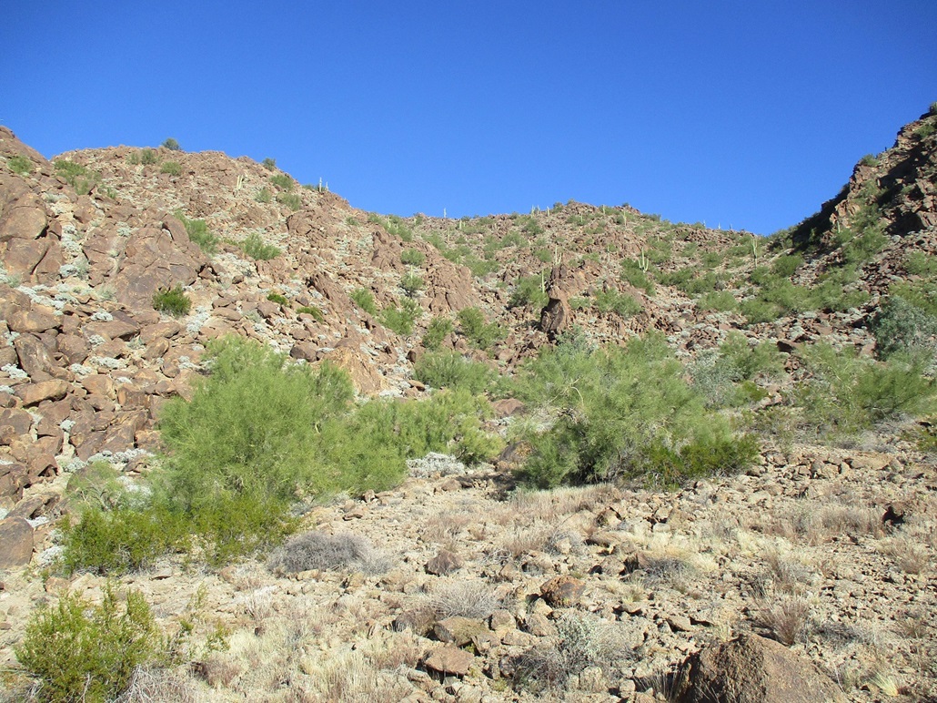
Now on that lower ridge
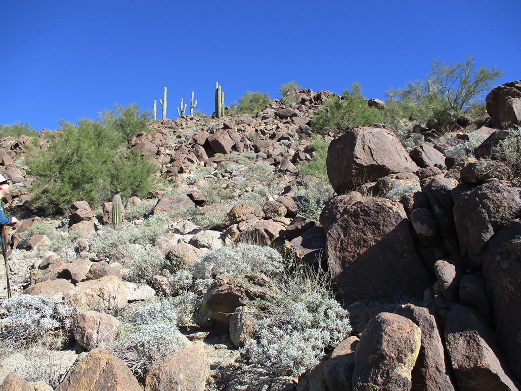
Typical of the rocks we encountered
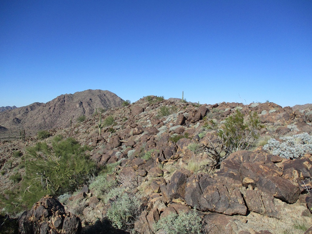
Summit up ahead
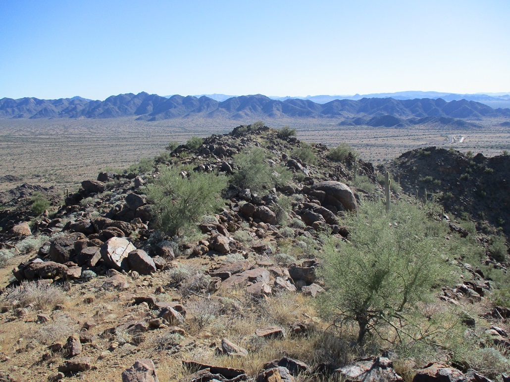
From the summit, looking back what we just followed. The highway between Gila Bend and Maricopa is below, then more mountains in back (and in far back, more mountains)
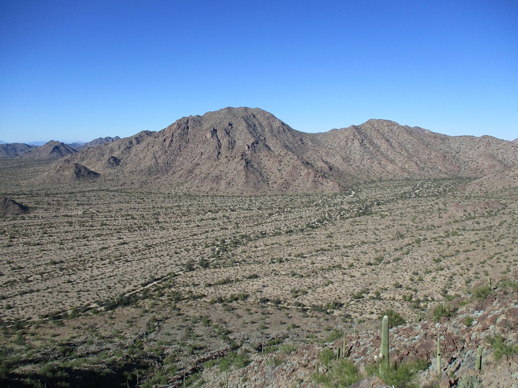
Peak 2799 from the summit, and cool arroyo patterns

A slightly lower bump northeast of the summit
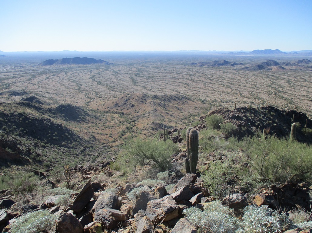
View down at the ridge we ascended (and that I would descend)
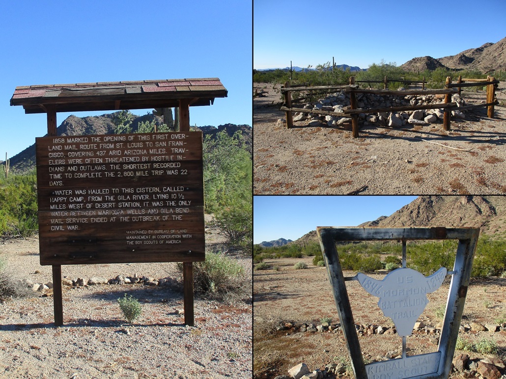
Sign at 40-mile tank, a stop along the Butterfield Stage Route. The tank itself, and another marker for the Mormon Battalion
Arizona Page • Main Page • Trip Report
(c) 2022 Scott Surgent. For entertainment purposes only. This report is not meant to replace maps, compass, gps and other common sense hiking/navigation items. Neither I nor the webhost can be held responsible for unfortunate situations that may arise based on these trip reports. Conditions (physical and legal) change over time! Some of these hikes are major mountaineering or backpacking endeavors that require skill, proper gear, proper fitness and general experience.