
Ma Ha Tauk Ridge Highpoint
November 27, 2015
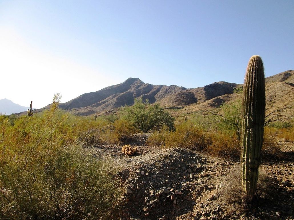
View of Maricopa Peak near where the Alta Trail meets San Juan Road
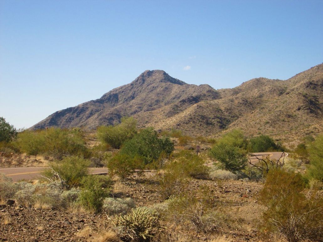
This view is a zoom image taken from near the parking area
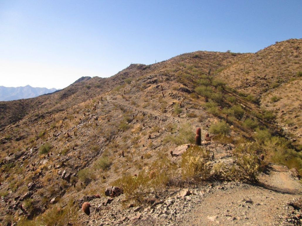
A shot of the Alta Trail. The summit is barely visible, poking above a ridge
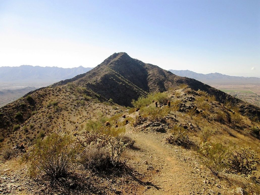
Now on the main ridge, the summit massif is now completely visible
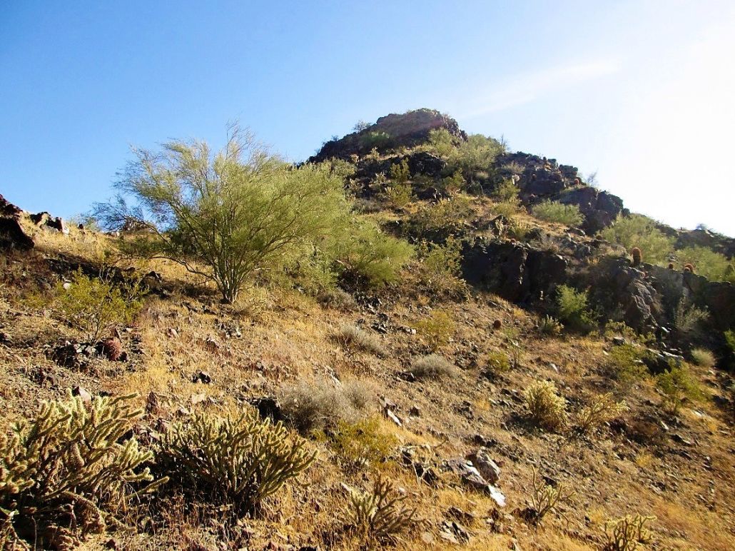
This shot was taken after I had left the trail and had scampered up about 60 feet, the cliffs now visible

Getting a little closer to the summit, but I still had work to do
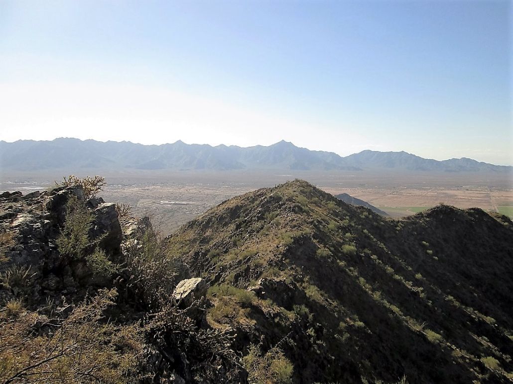
West view, with Sierra Estrella Peak in the distance
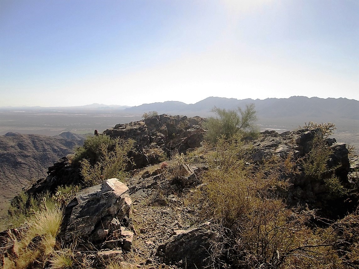
South view. The sloped rock at the right is the highest point
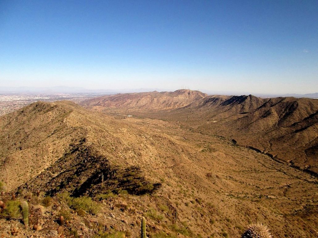
East view of the towers and of Goat Hill
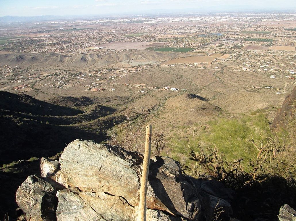
Stick Scott with Phoenix behind
Arizona Page • Main Page • Trip Report
(c) 2022 Scott Surgent. For entertainment purposes only. This report is not meant to replace maps, compass, gps and other common sense hiking/navigation items. Neither I nor the webhost can be held responsible for unfortunate situations that may arise based on these trip reports. Conditions (physical and legal) change over time! Some of these hikes are major mountaineering or backpacking endeavors that require skill, proper gear, proper fitness and general experience.