
Little Horn Benchmark
January 12, 2020
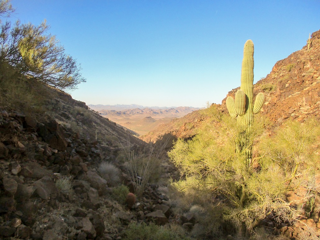
View from within the canyon as we hiked in
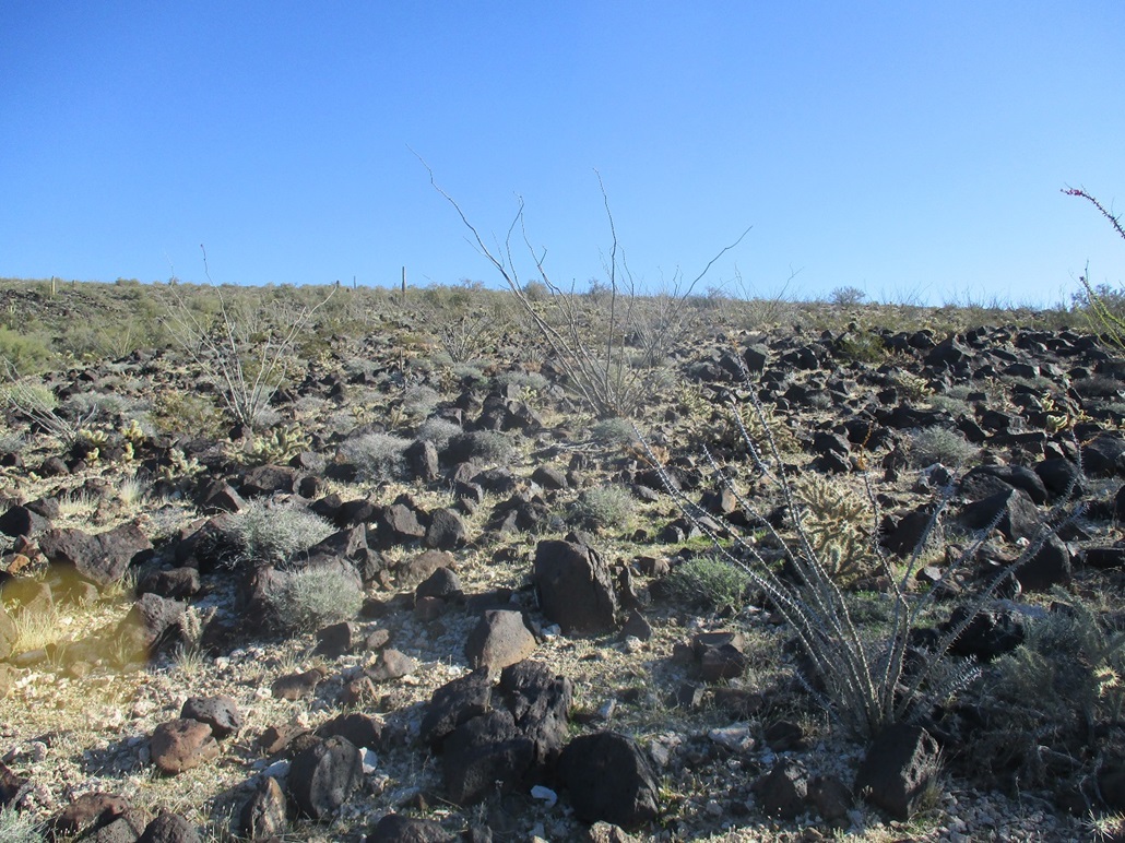
The terrain up on the plateau and ridges. You can't tell, but we're actually hiking uphill
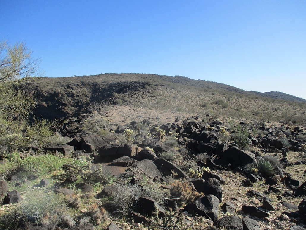
View of the summit as we get closer
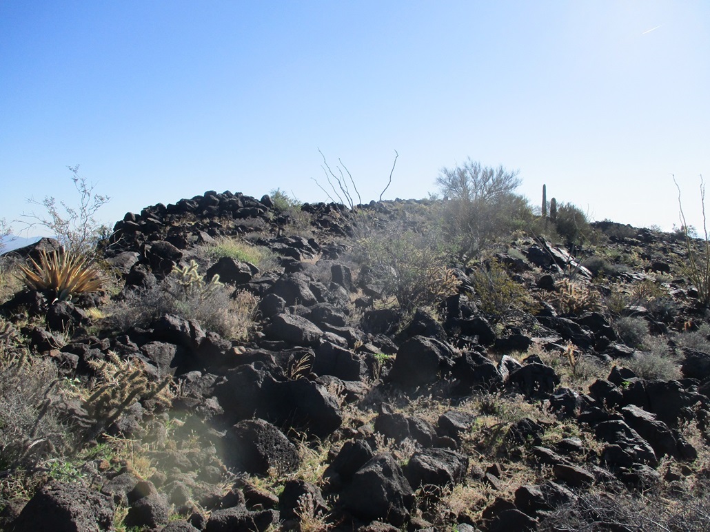
The highpoint rocks ahead
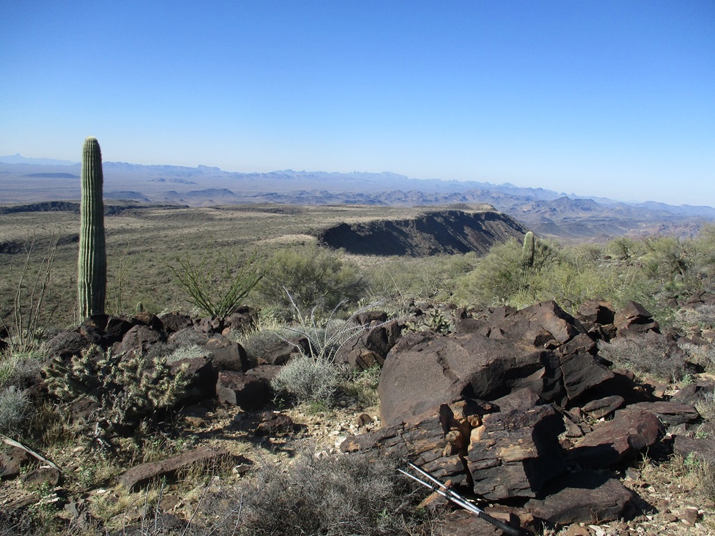
View west of the ridge we hiked, and its cliffs. In the far distance center is Signal Peak, and at the far left is Castle Dome Mountain
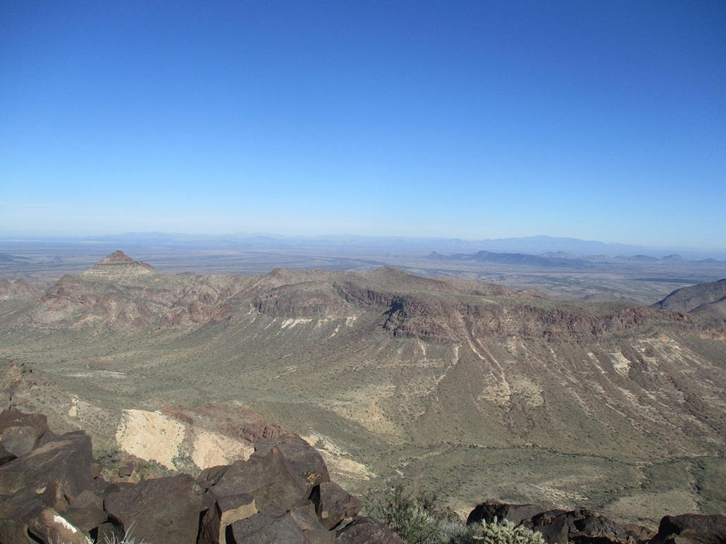
View north of nearby peaks and distant Harquahala Mountain
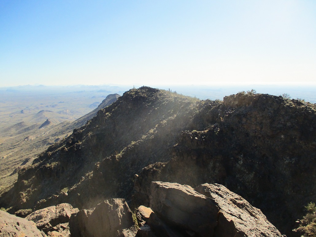
View east of the cliffs and the sun's glare
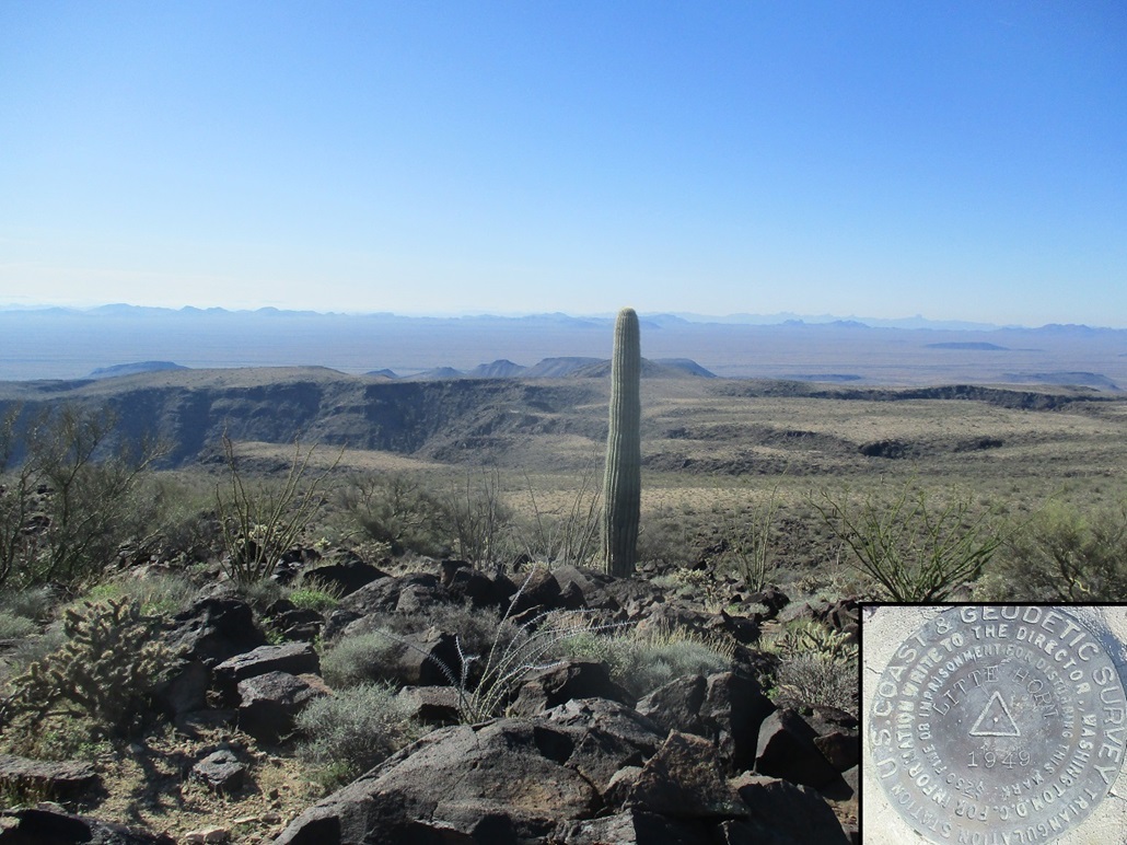
View south at isolated desert
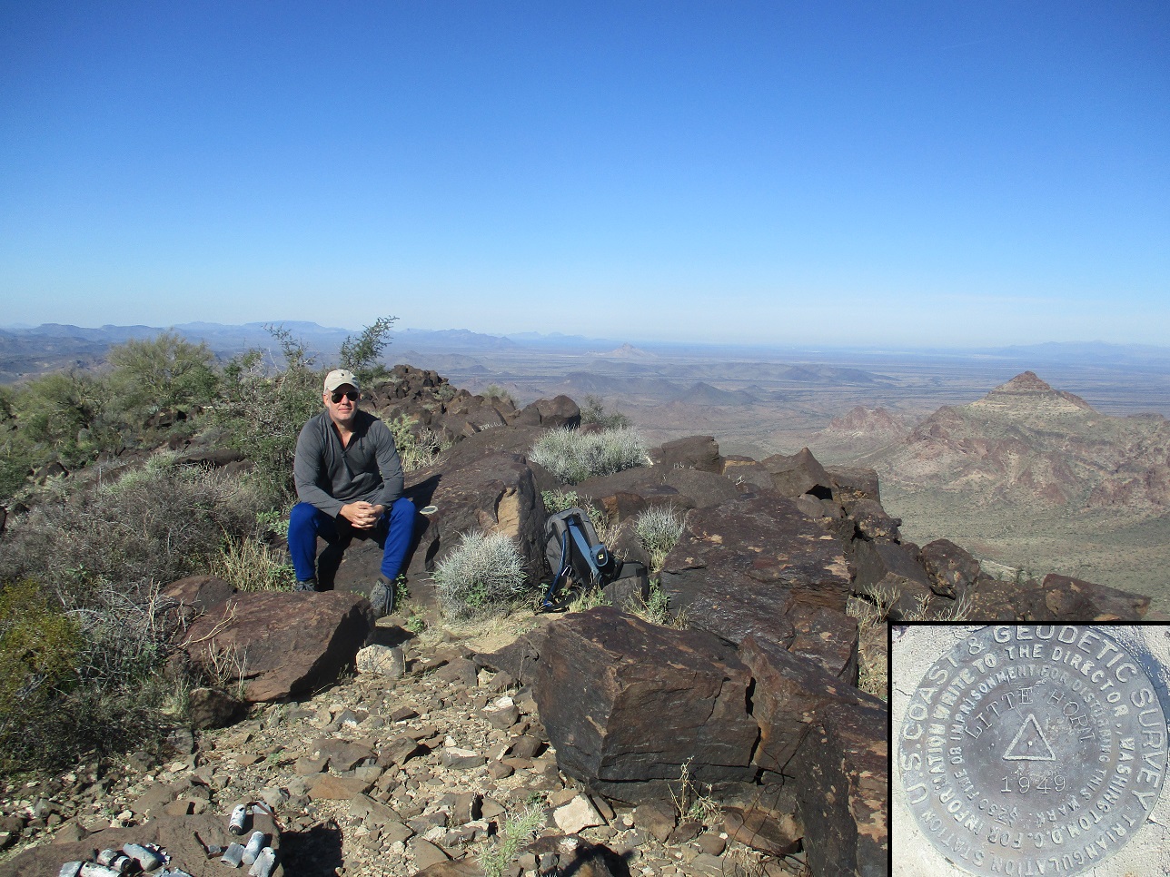
Me, benchmark inset
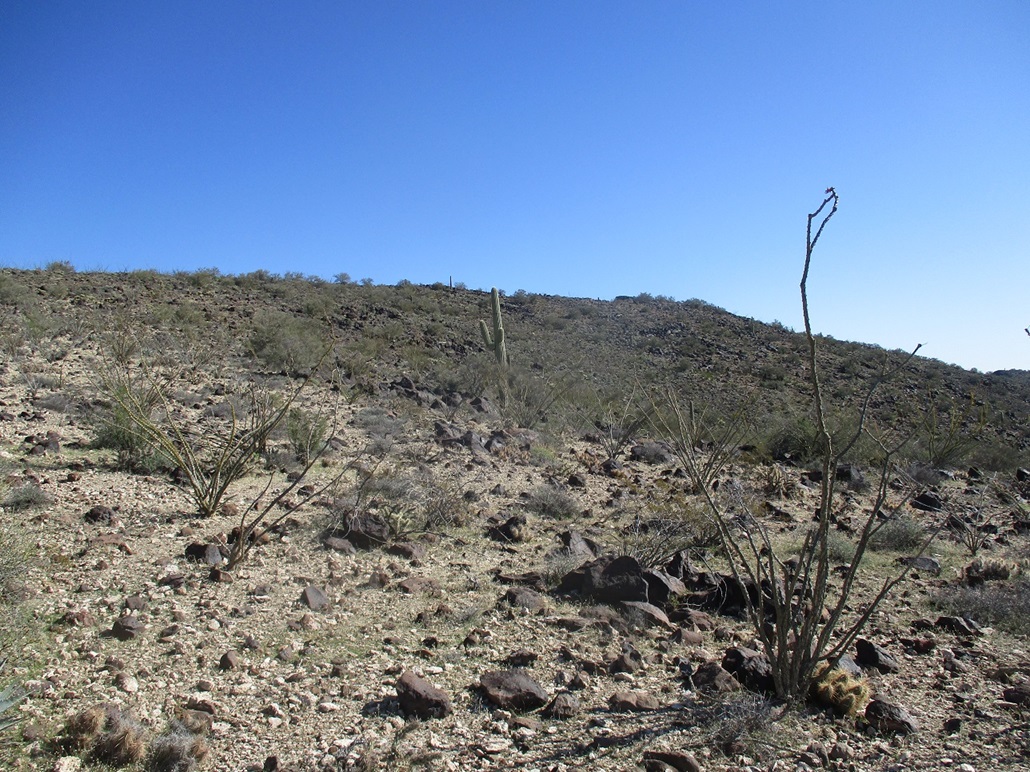
View of the summit ridge as we descend
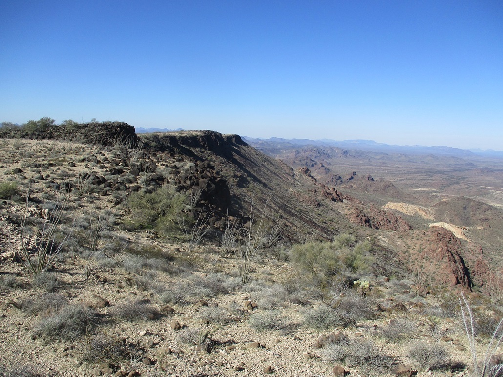
The north-facing cliffs of the summit ridge
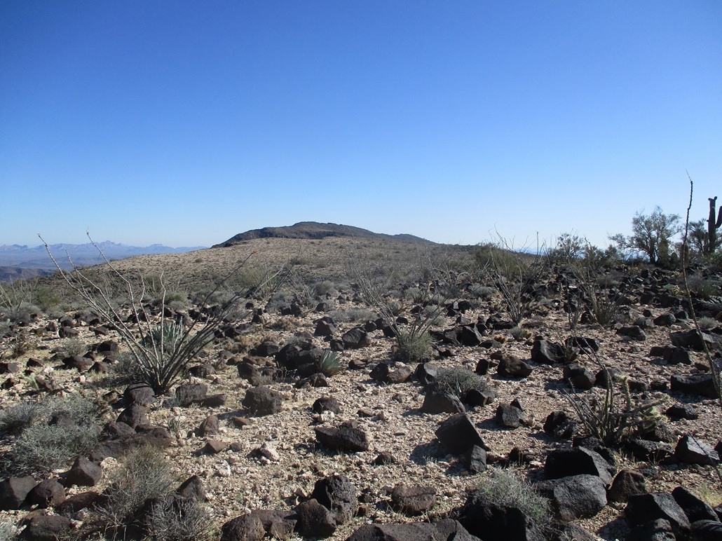
The summit from about a mile away
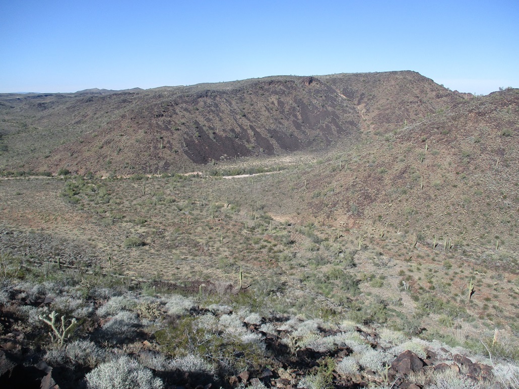
My car can be seen in the road below
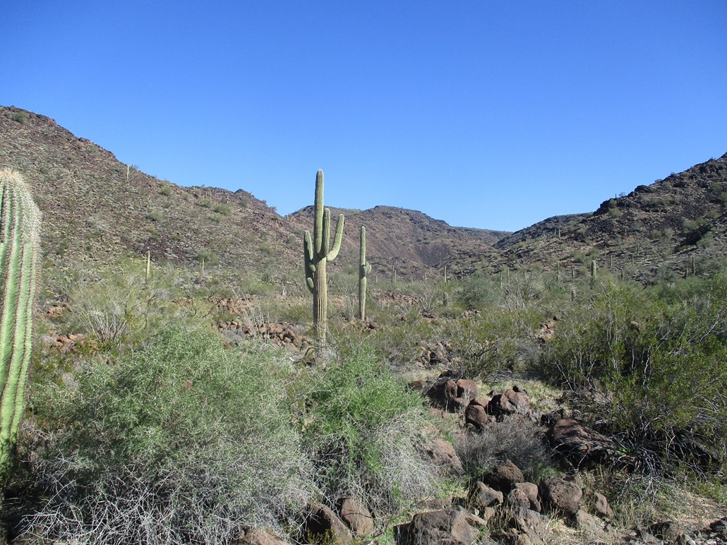
The ascent canyon, taken as we exited in better light
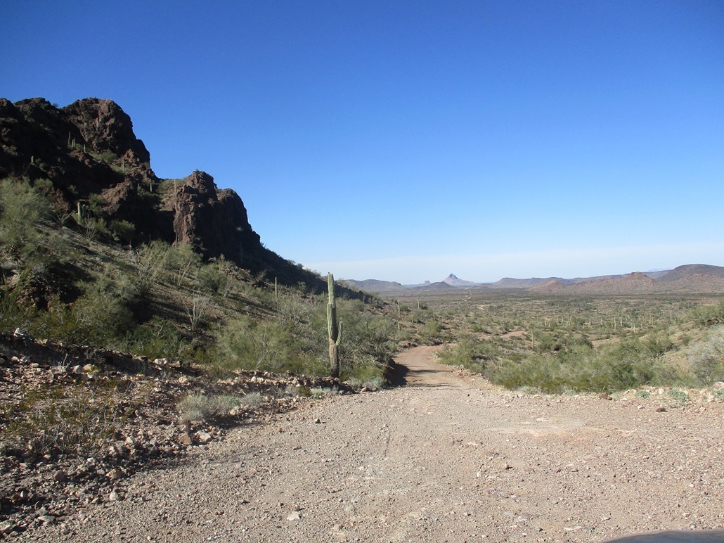
Distant Coyote Peak and the wiggly road that goes there
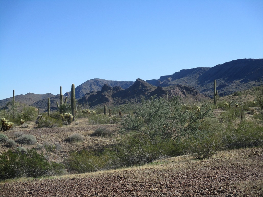
Little Horn and its ridges and cliffs
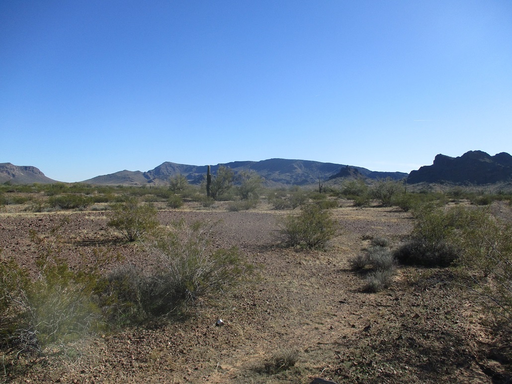
View of the peak and ridge from a couple miles away
Arizona Page • Main Page • Trip Report
(c) 2022 Scott Surgent. For entertainment purposes only. This report is not meant to replace maps, compass, gps and other common sense hiking/navigation items. Neither I nor the webhost can be held responsible for unfortunate situations that may arise based on these trip reports. Conditions (physical and legal) change over time! Some of these hikes are major mountaineering or backpacking endeavors that require skill, proper gear, proper fitness and general experience.