March 12, 2015
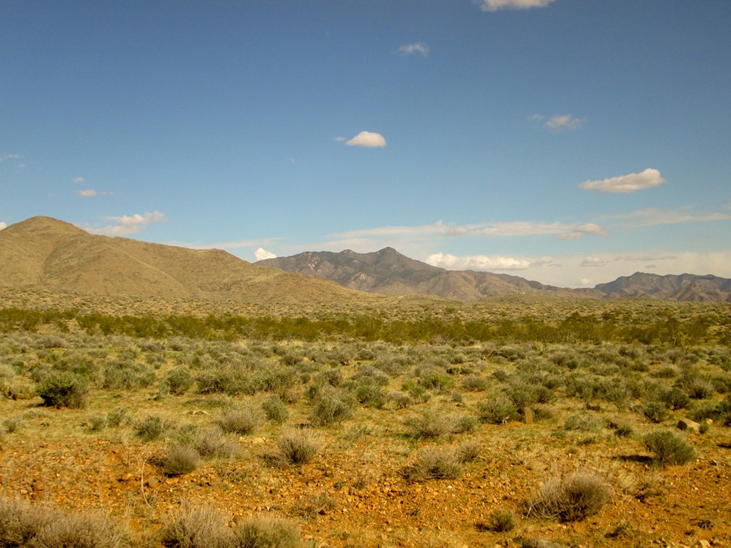
Cherum Peak as seen from US-93
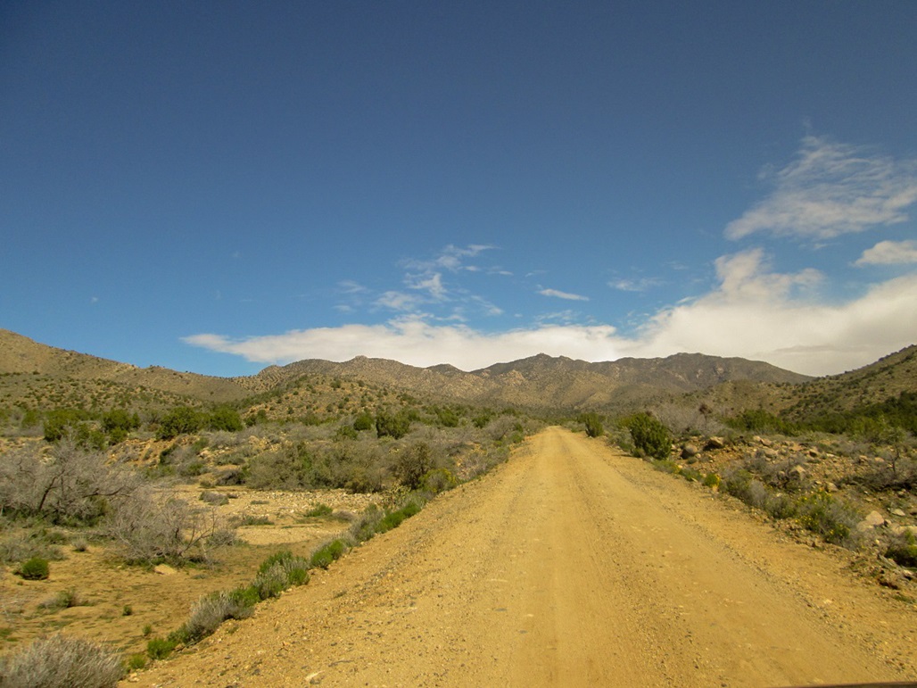
The road lower down
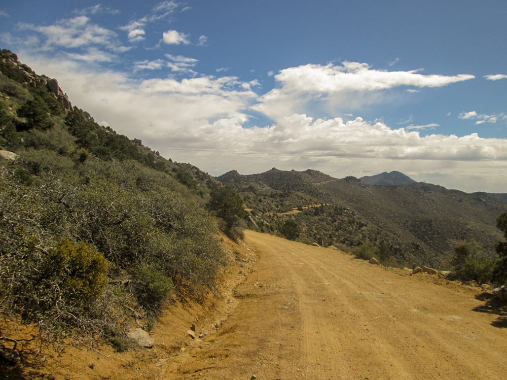
View roughly from Windy Point, about two miles from the trailhead. The summit bumps are visible in the distance
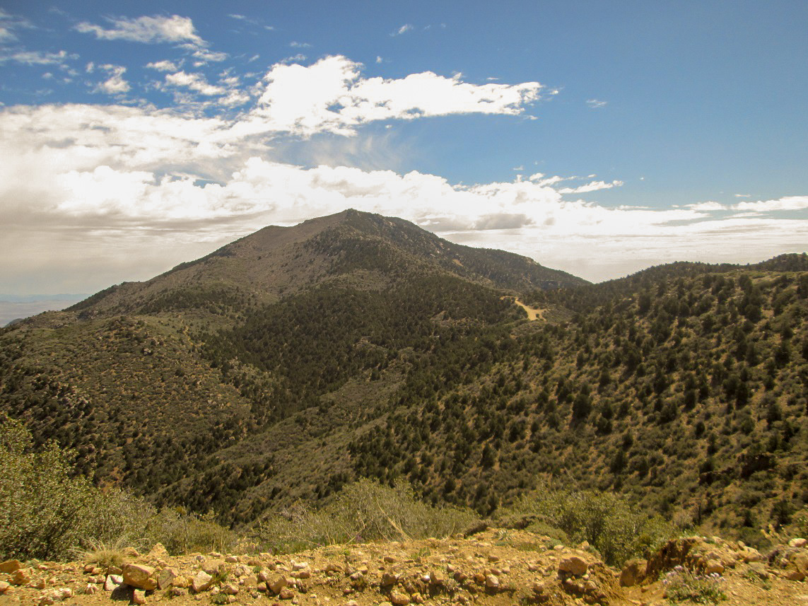
One last view from the road. The trailhead is visible ahead
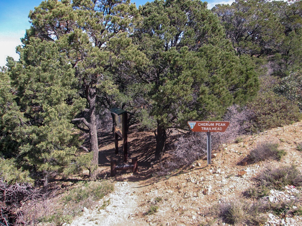
The trailhead
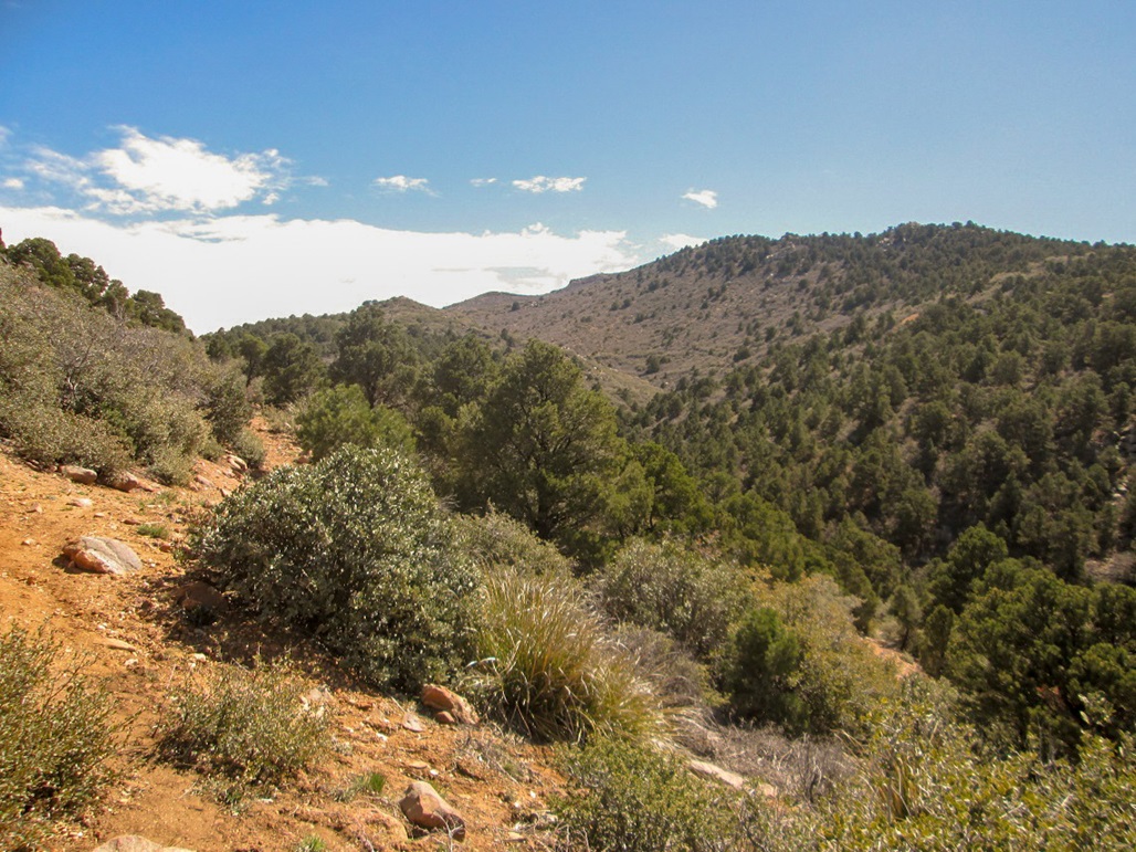
The trail lower down
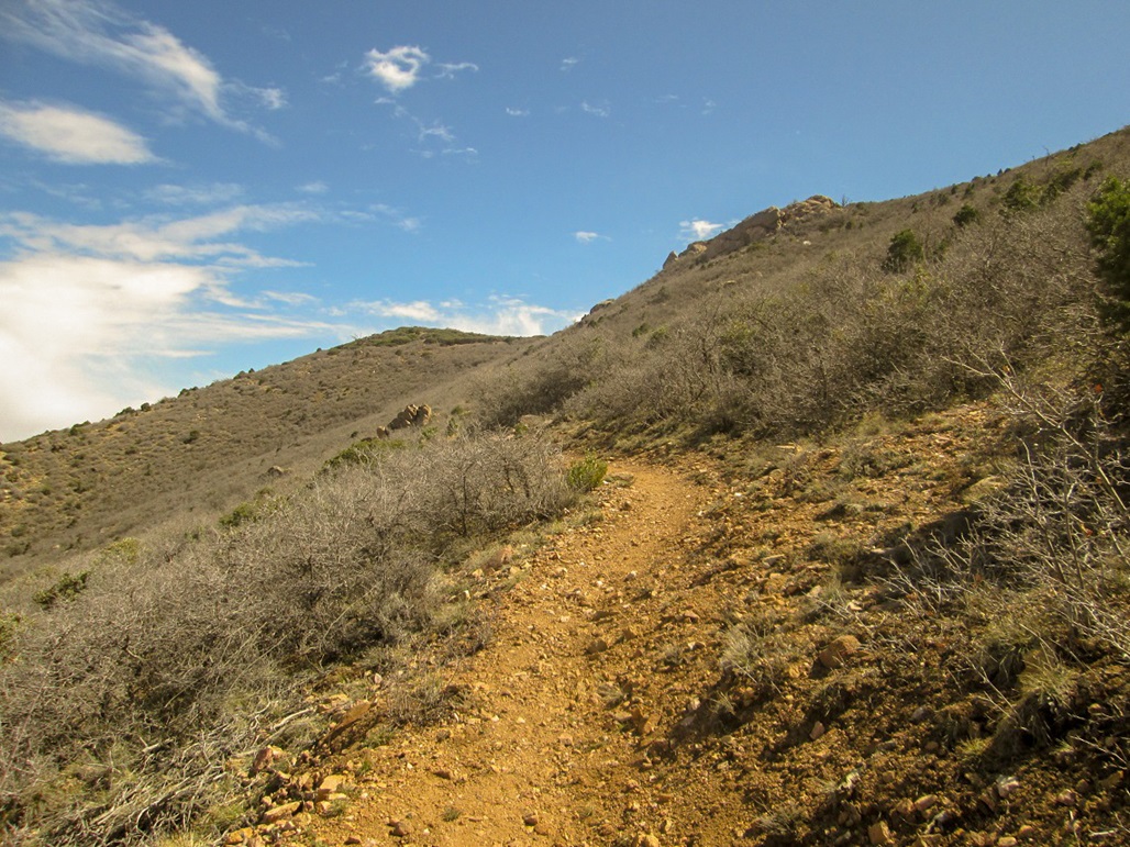
Aiming for Point 6595
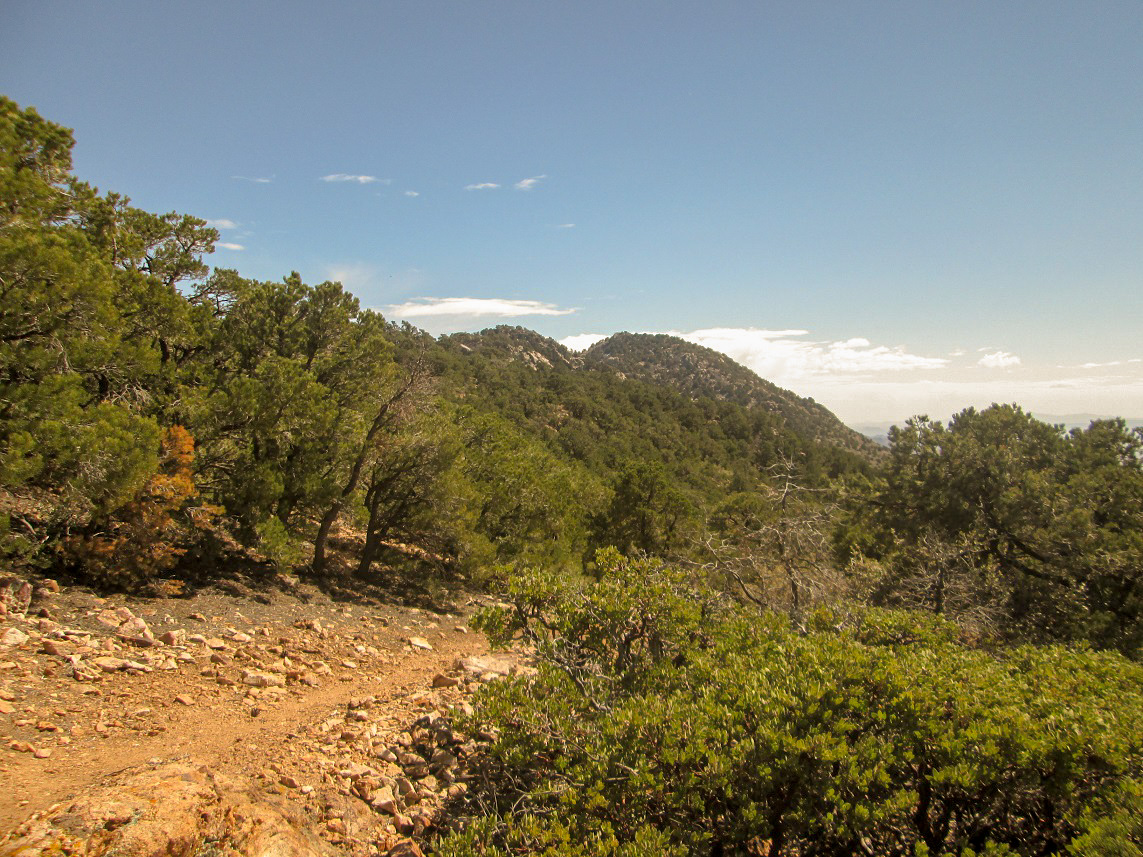
Now on the range crest, the summit comes into view again
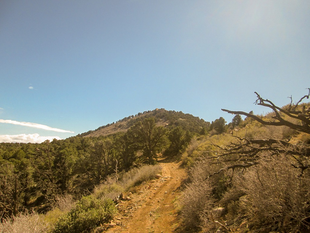
Now on the ATV track, the summit is ahead
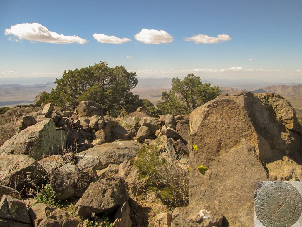
The top
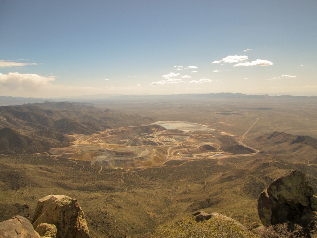
Looking down into the big mines near Chloride
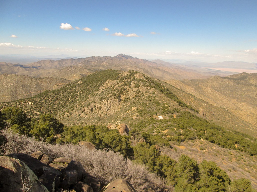
North view of Peak 6857 and of Mount Tipton
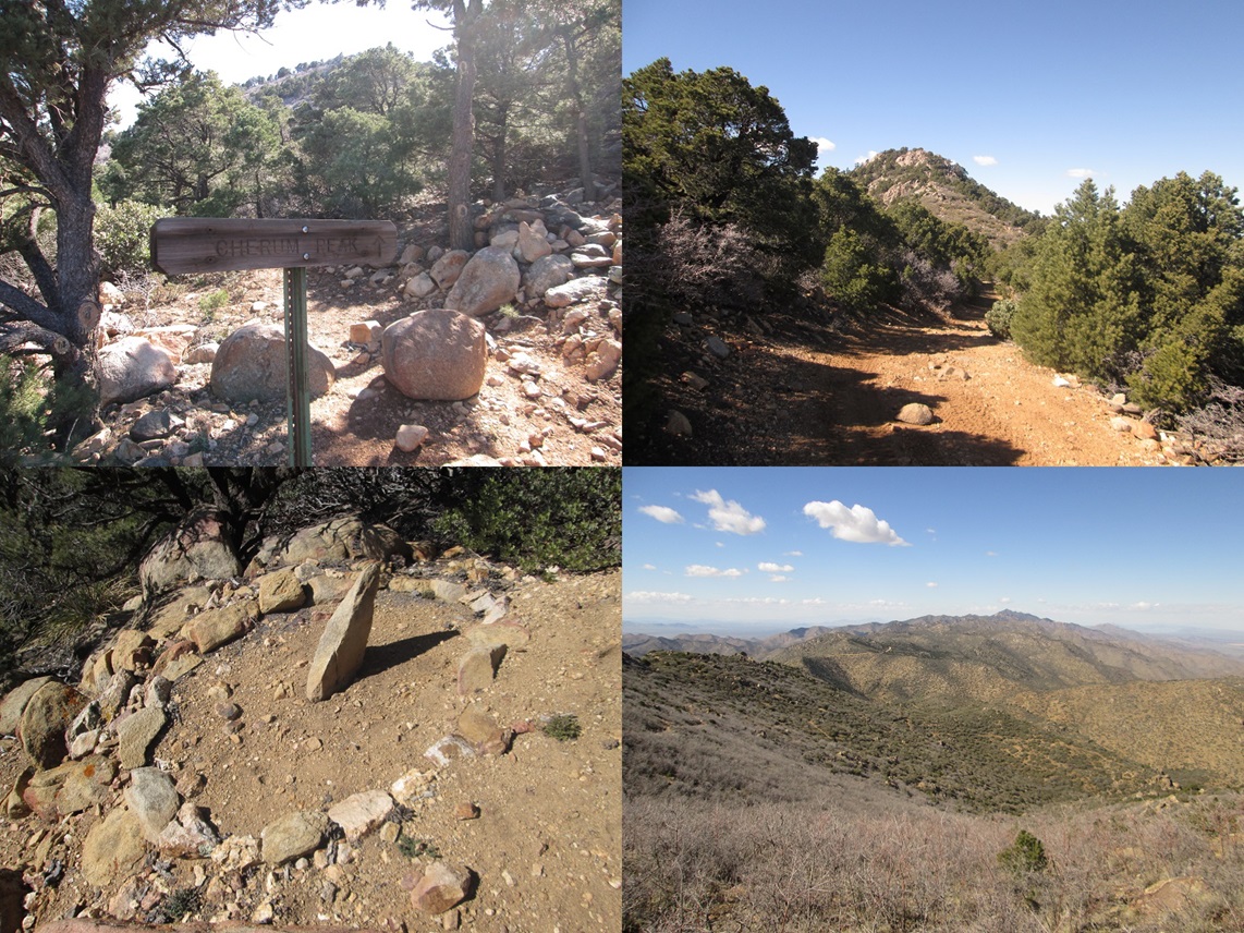
Montage: Cherum peak sign near the top, A view of Peak 6857, a sundial along the trail, and some of the trail below Point 6595
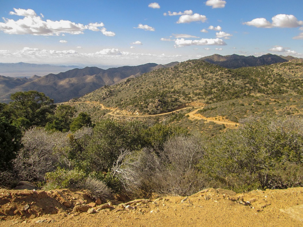
On the drive out, looking down at some of the winding road
Arizona Page • Main Page • Trip Report
(c) 2023 Scott Surgent. For entertainment purposes only. This report is not meant to replace maps, compass, gps and other common sense hiking/navigation items. Neither I nor the webhost can be held responsible for unfortunate situations that may arise based on these trip reports. Conditions (physical and legal) change over time! Some of these hikes are major mountaineering or backpacking endeavors that require skill, proper gear, proper fitness and general experience.