
Chavez Mountain
September 18, 2021
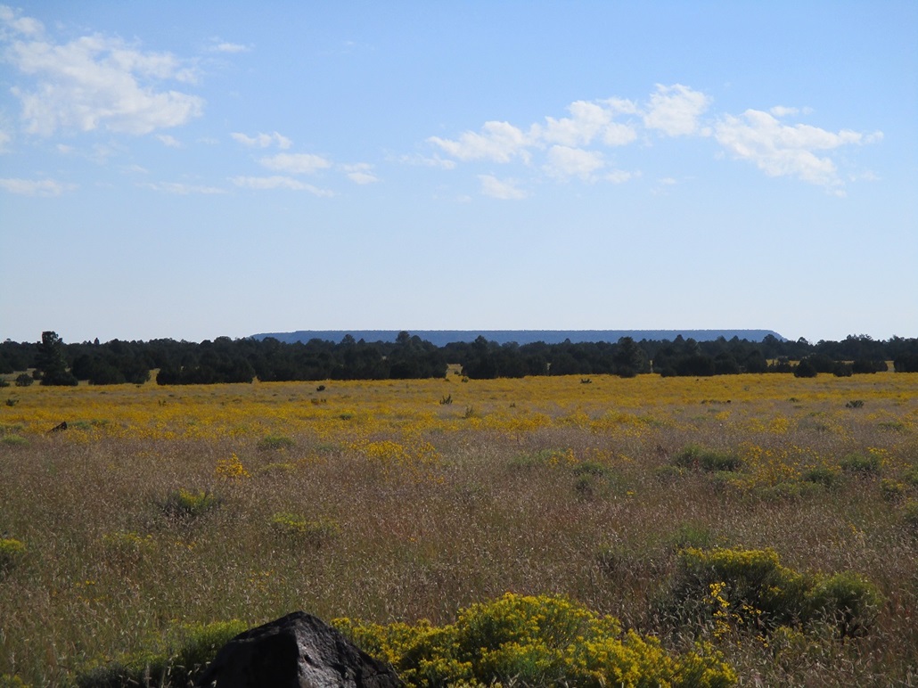
The flat mesa that is Chavez Mountain pokes above the eastern horizon as viewed from the west
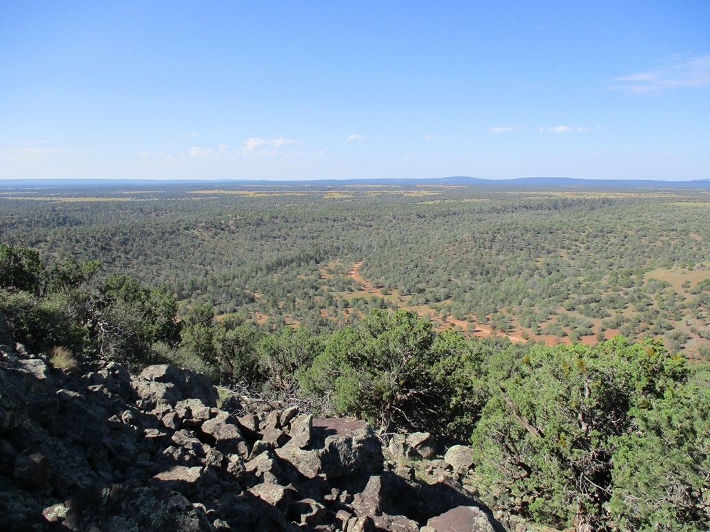
View from the upper cliffs looking southwest as we ascend
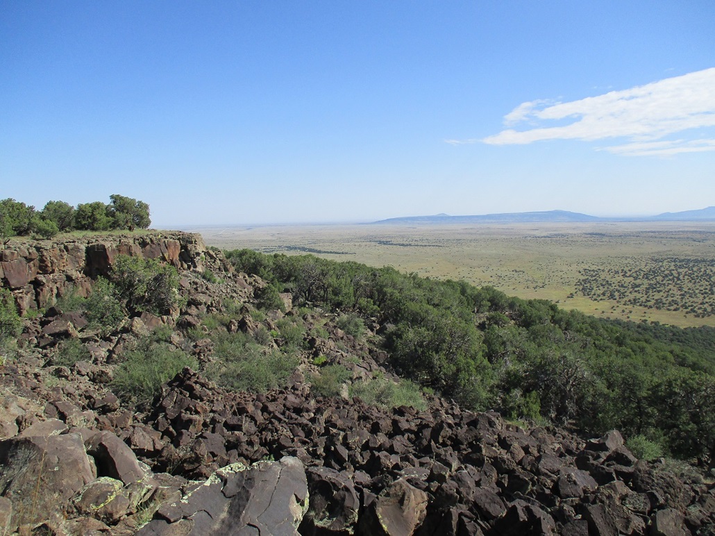
Now we're on the east rim near the highpoint. To the northeast, that is East Sunset Mountain in back. The benchmark is in the rocks on the promontory seen across the way
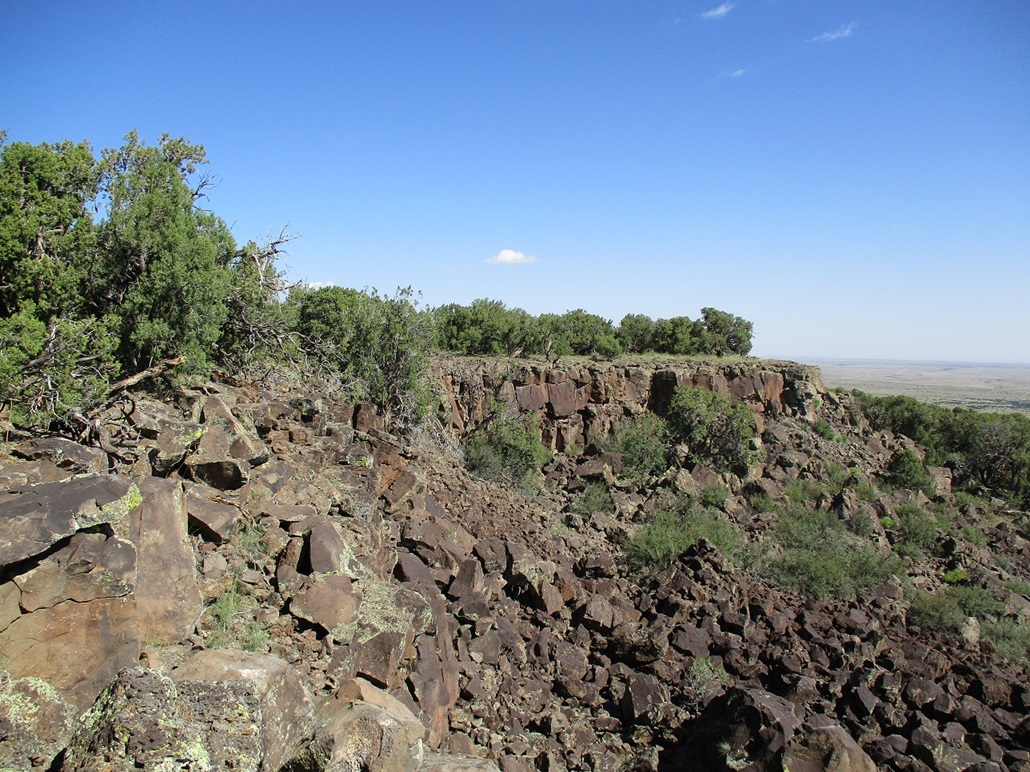
More detail on the cliffs and rockfall below
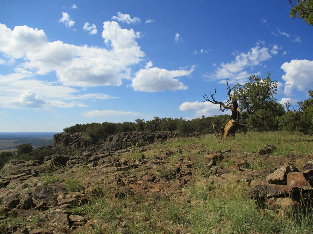
Now we're on the north side of the east rim, looking south. We both felt the land to the south was a little higher
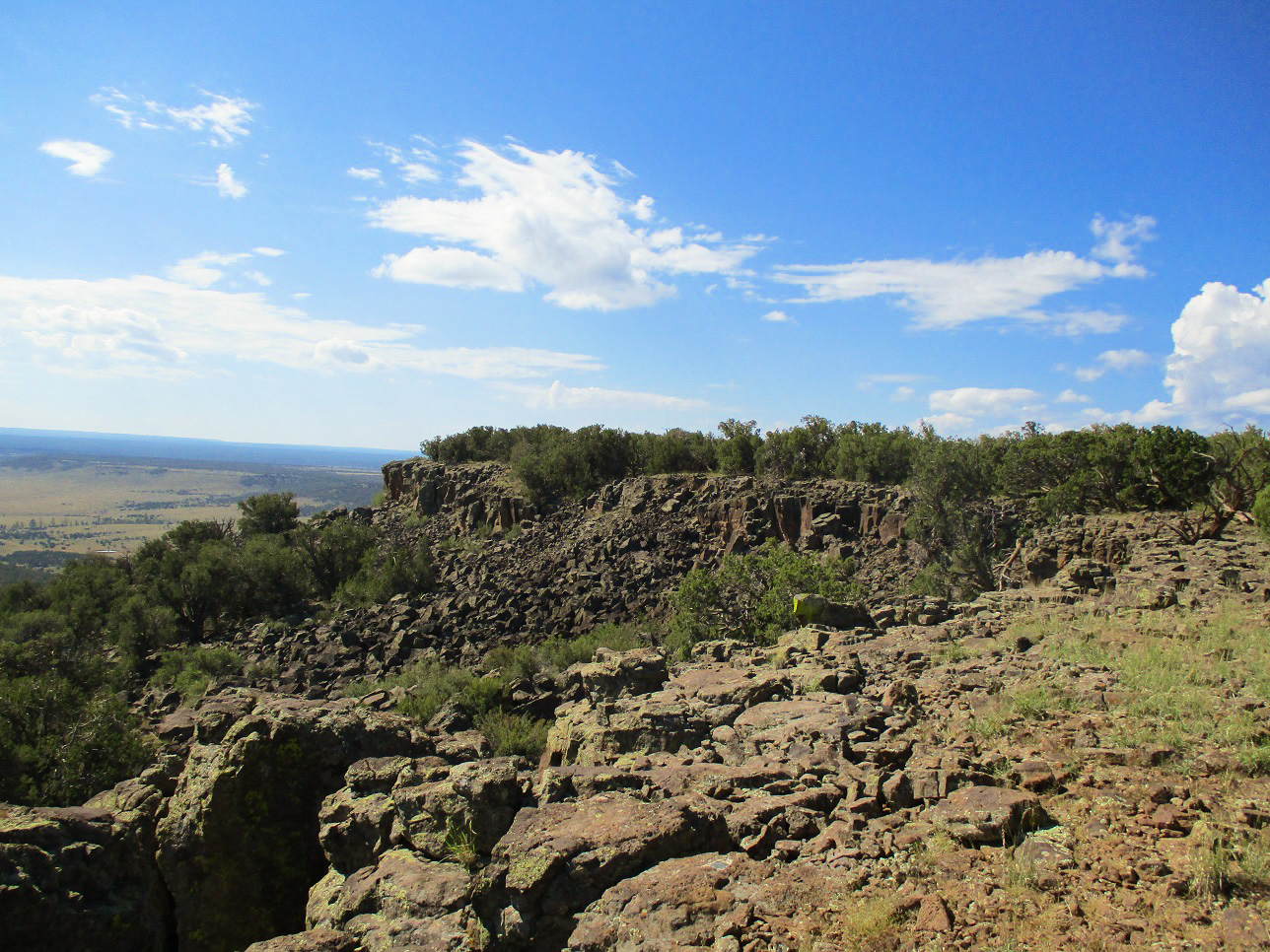
More detail of the rockfall
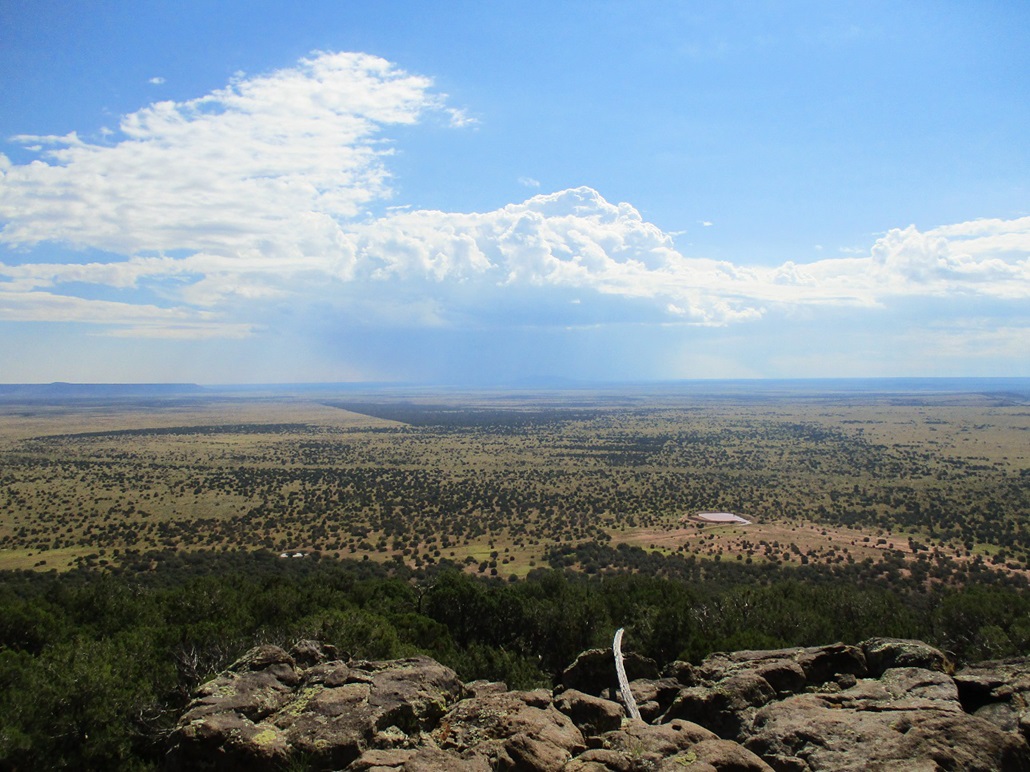
A storm drops rain over Chevelon Butte, to the southeast
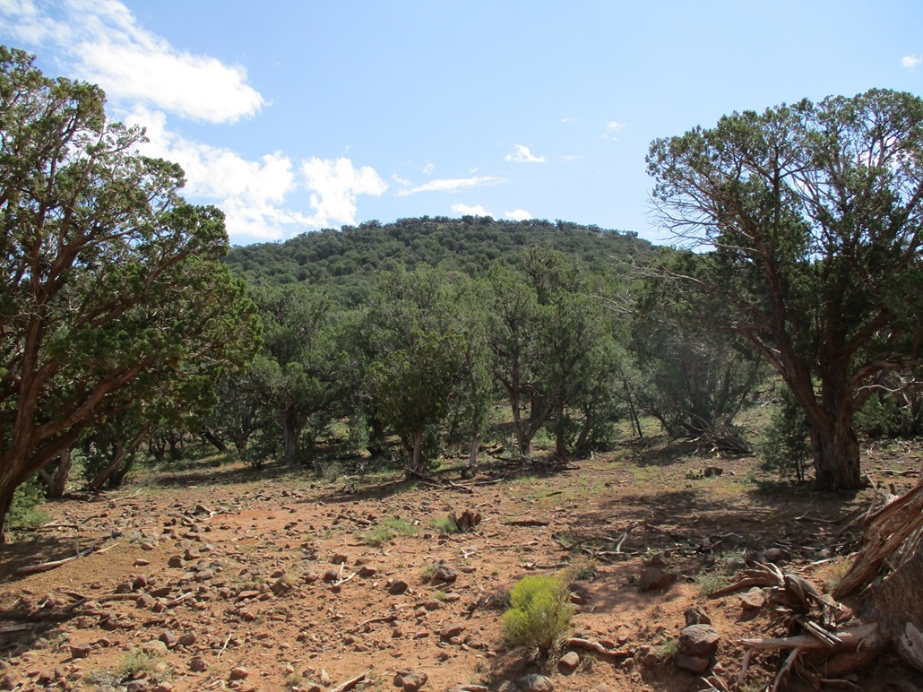
The west slopes of the mesa, as we hiked out
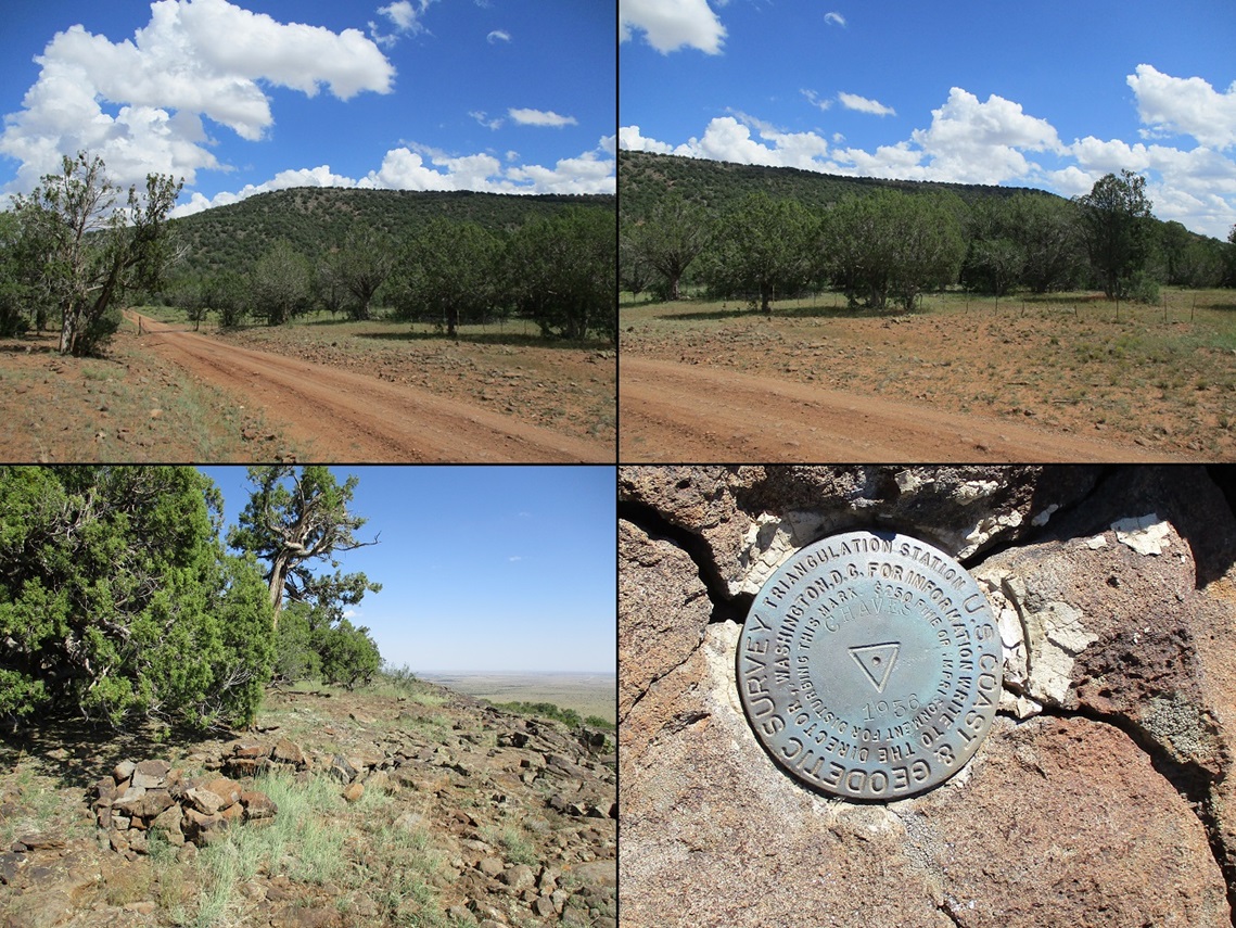
Montage: West edge, east edge, the general area where the benchmark was located, and the benchmark itself, stamped "Chaves 1936"
Arizona Page • Main Page • Trip Report
Mobile version (c) 2021 Scott Surgent. For entertainment purposes only. This report is not meant to replace maps, compass, gps and other common sense hiking/navigation items. Neither I nor the webhost can be held responsible for unfortunate situations that may arise based on these trip reports. Conditions (physical and legal) change over time! Some of these hikes are major mountaineering or backpacking endeavors that require skill, proper gear, proper fitness and general experience.