September 29, 2024
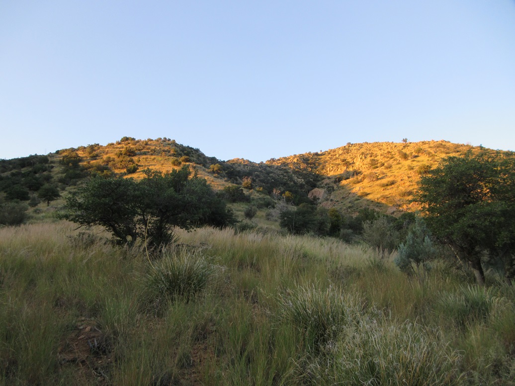
I ascended the slope at left, the summit is to the right
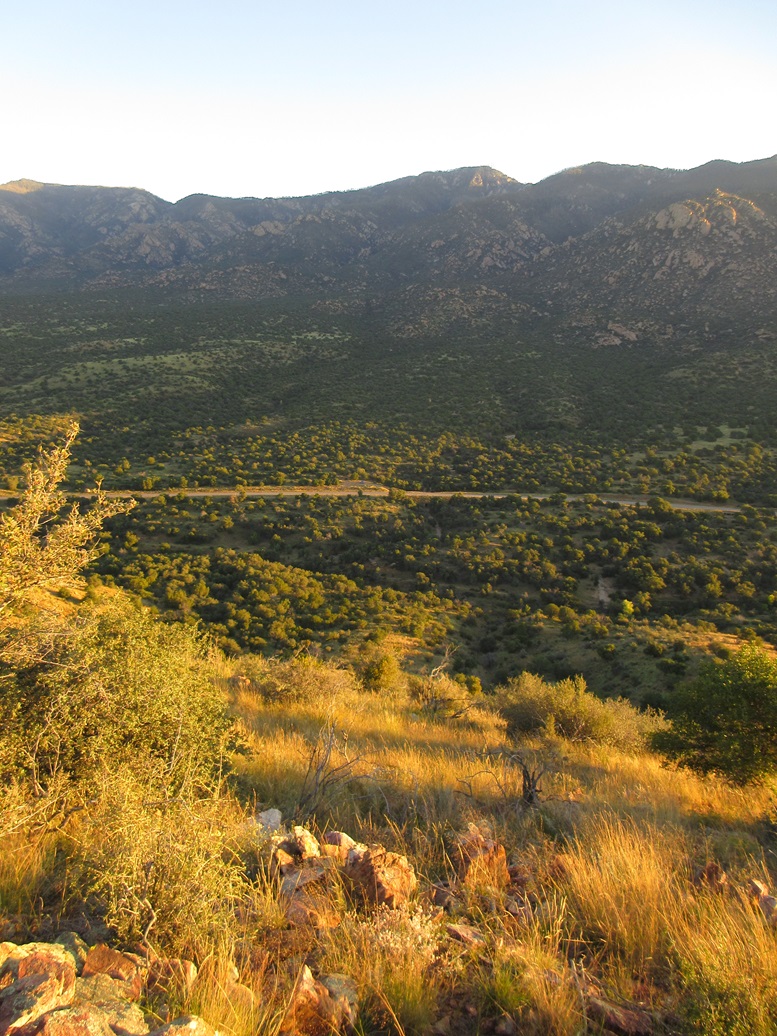
Looking down the hill I ascended
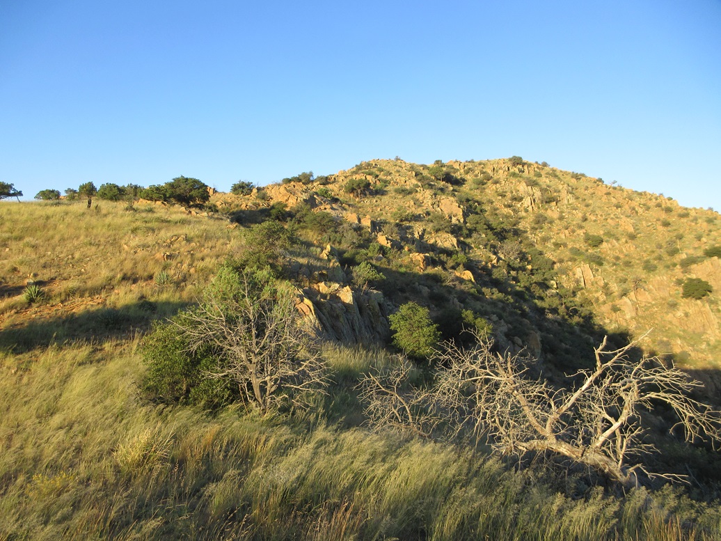
Now on the high ridge, the summit area (the top is still hidden)
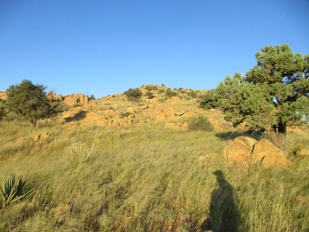
Not quite the top yet
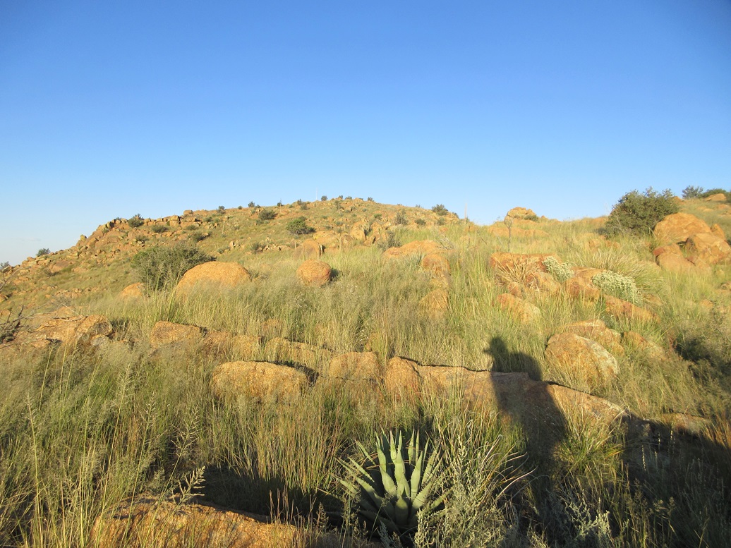
Now the highpoint can be seen
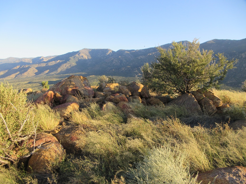
Summit rocks looking west
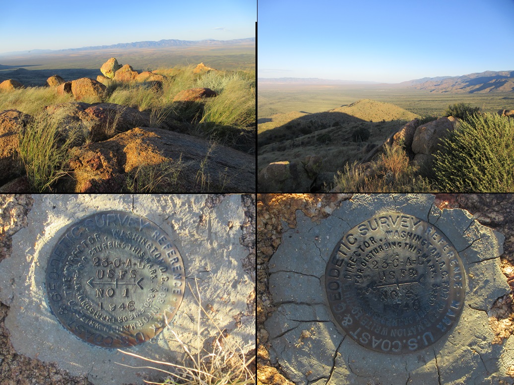
Peak 5801 is seen, along with two witness marks and the apparent location of the benchmark

23-Caliber Peak after I descended

Peak 5801

Grass and rocks are the theme here
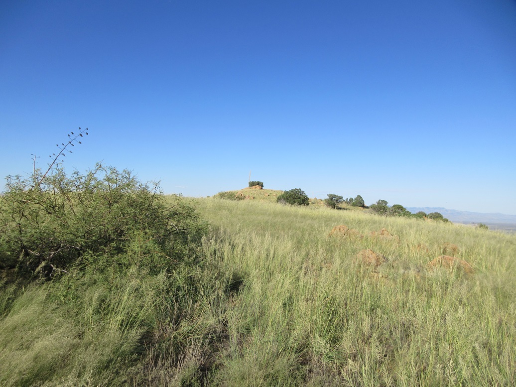
Summit ahead
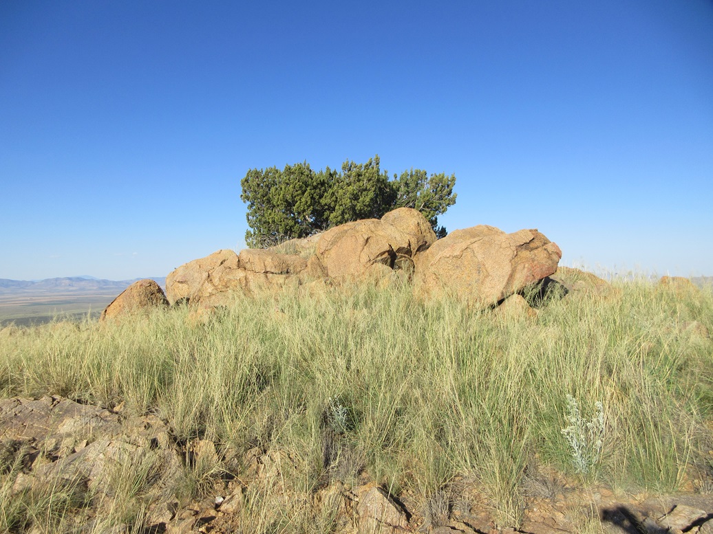
Highpoint rocks
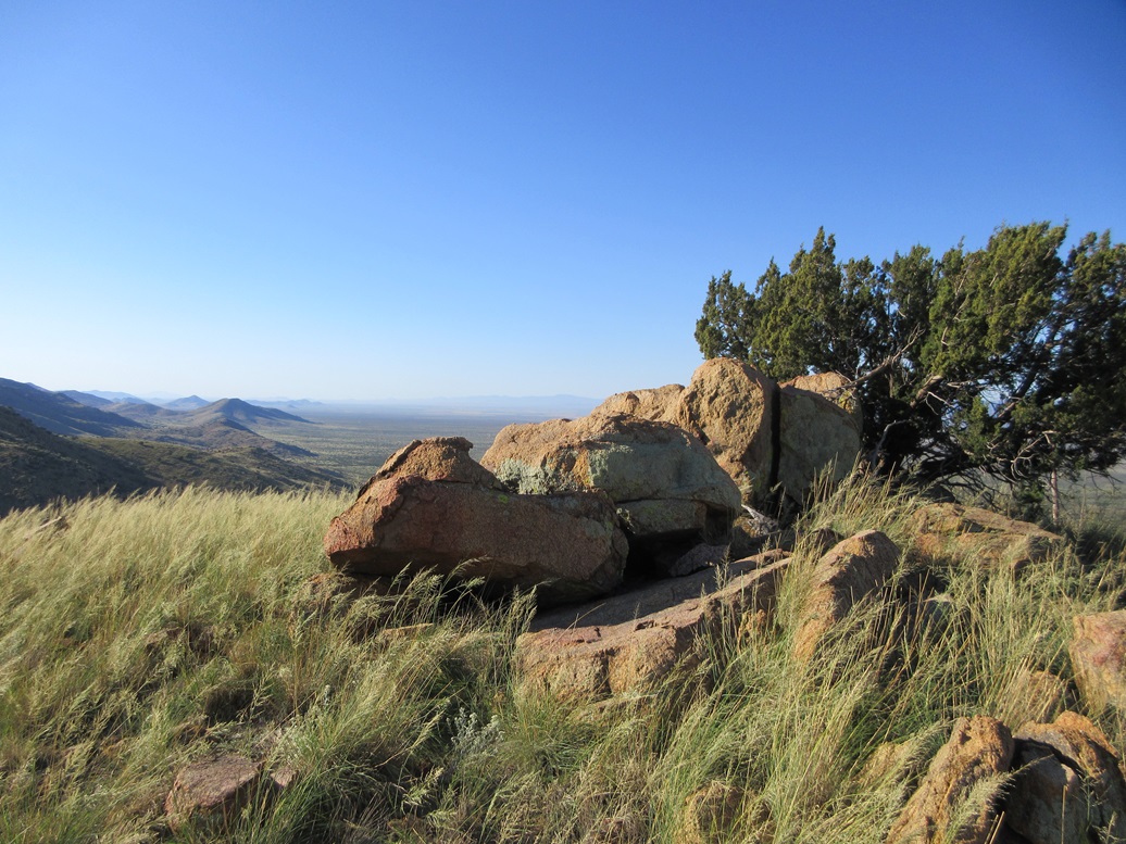
Looking southeast
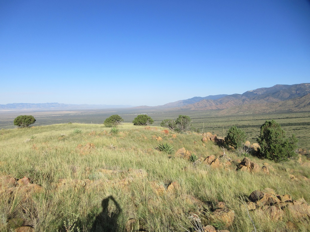
West. The white buildings is the Fort Grant State Prison. The Galiuro Mountains are to the distant left. The Santa Teresa Range is to the distant right, and the Pinaleño Mountains closer in
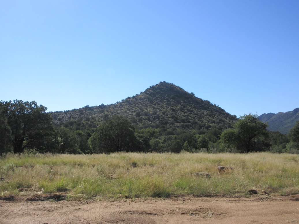
Peak 6047
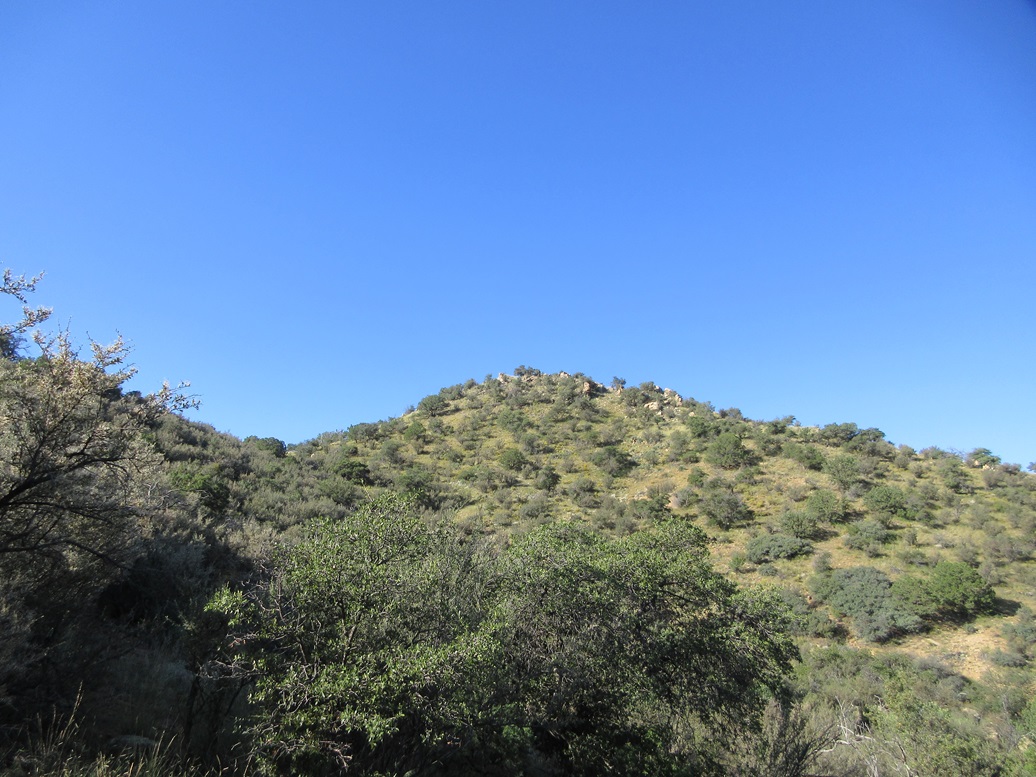
Halfway up
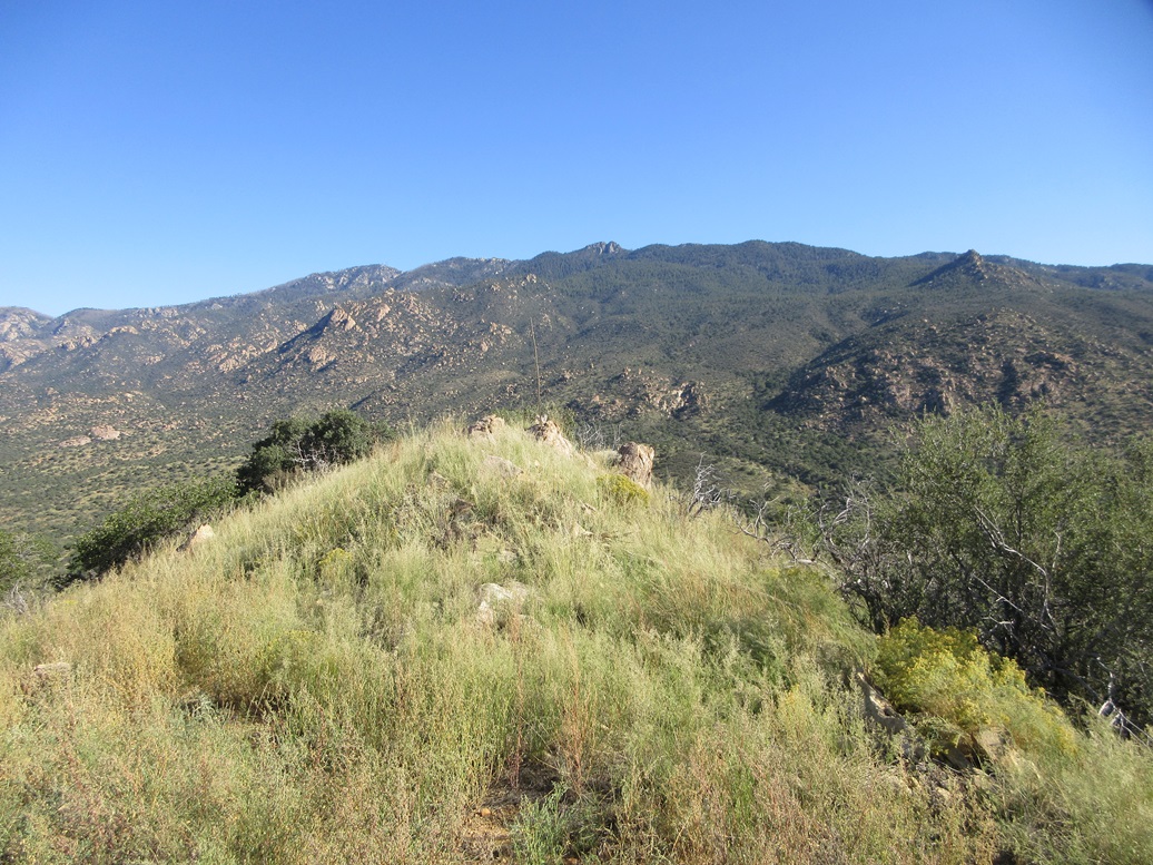
The top rocks
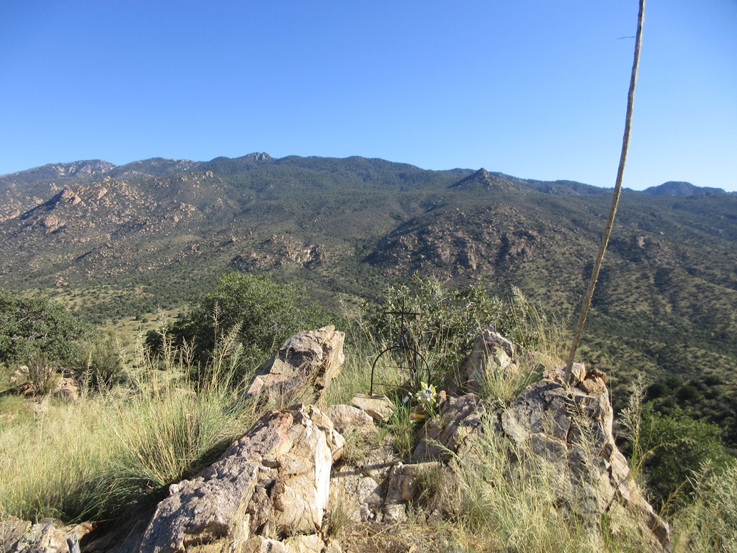
A memorial
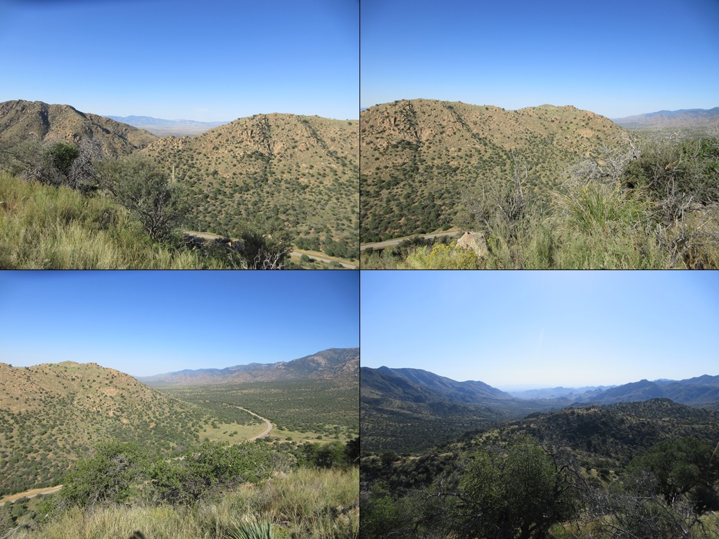
23-Caliber Peak as seen from Peak 6047, plus some other views from the top

The Bonita Store, where Billy the Kid killed his first

A different angle
Arizona Page • Main Page • Trip Report
(c) 2024 Scott Surgent. For entertainment purposes only. This report is not meant to replace maps, compass, gps and other common sense hiking/navigation items. Neither I nor the webhost can be held responsible for unfortunate situations that may arise based on these trip reports. Conditions (physical and legal) change over time! Some of these hikes are major mountaineering or backpacking endeavors that require skill, proper gear, proper fitness and general experience.