
The Mountains of Arkansas
www.surgent.net |
| North Mountain |
• Hot Springs National Park • Ouachita Mountains • Garland County |
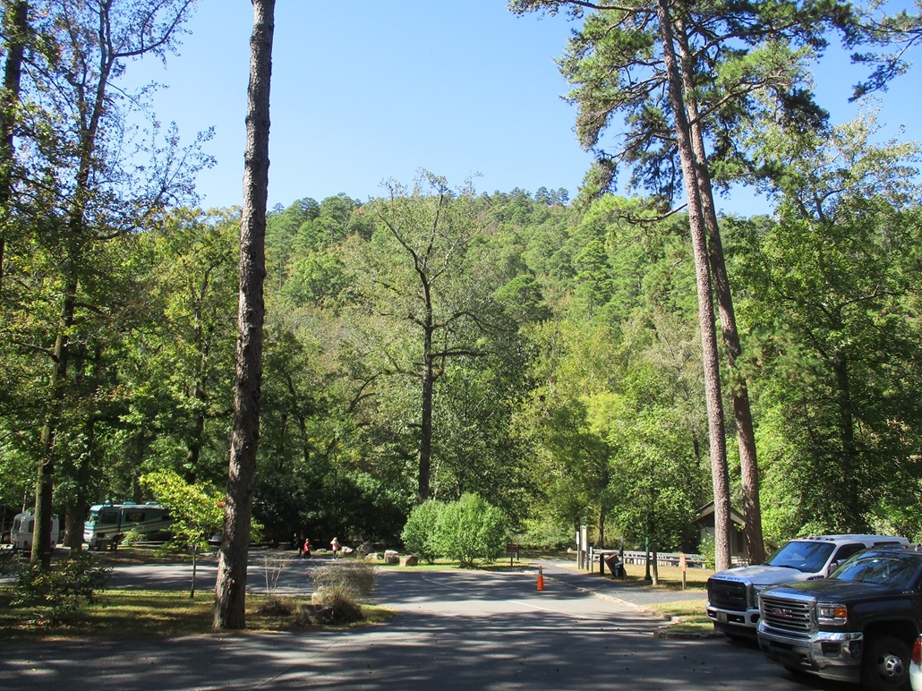 View from the Gulpha Gorge parking lot and trailhead
|
Date: October 18, 2019 • Elevation: 1,130 feet • Prominence: 420 feet • Distance: 3 miles • Time: 90 minutes • Gain: 600 feet • Conditions: Blue skies, calm and lovely
Main
•
PB
We were in Hot Springs, Arkansas, for a full day and two nights, a day with deliberately no long-distance driving. We both needed a day to veg. We came here via the scenic Talimena Parkway, which dropped us off inside Arkansas in the city of Mena. From there, it made sense to follow US-270 into Hot Springs, home to Hot Springs National Park.
Today being the off-day, so to speak, we had time on our hands. I wanted to do a short hike and check out Hot Springs National Park, but was not necessarily interested in the hot springs themselves, which I assumed would be choked with tourists. I honed in on North Mountain, a forested hill that includes a giant viewing tower on a lower ridge, and a number of paved roads with scenic overlooks. There was nothing special about North Mountain's summit, but it was something to aim for while getting the short nickel tour of the park.
I left the hotel and drove up the north-south main drag called Central Avenue towards downtown Hot Springs, battling traffic, people and construction. There's a big casino in the center of town and it was jammed with people and their cars. I got onto Business-US-70, also signed as Grand Avenue, and headed northeast. The boulevard morphs into a proper highway. I was looking for an exit for Gulpha Gorge Road, also marked as state route AR-7. I assumed the signs would say either "Gulpha Gorge Road" or "AR-7".
Heading northeastbound, I never saw any such sign and drove past the exit, not realizing it at the time. I ended up driving a couple extra miles until I was sure I had missed it, so I got back on the westbound lanes, and there, I saw a sign pointing to the National Park. The signage could be better, if you ask me.
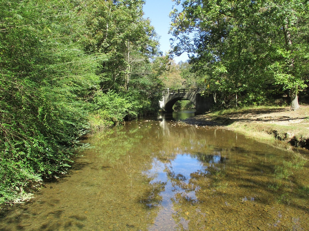
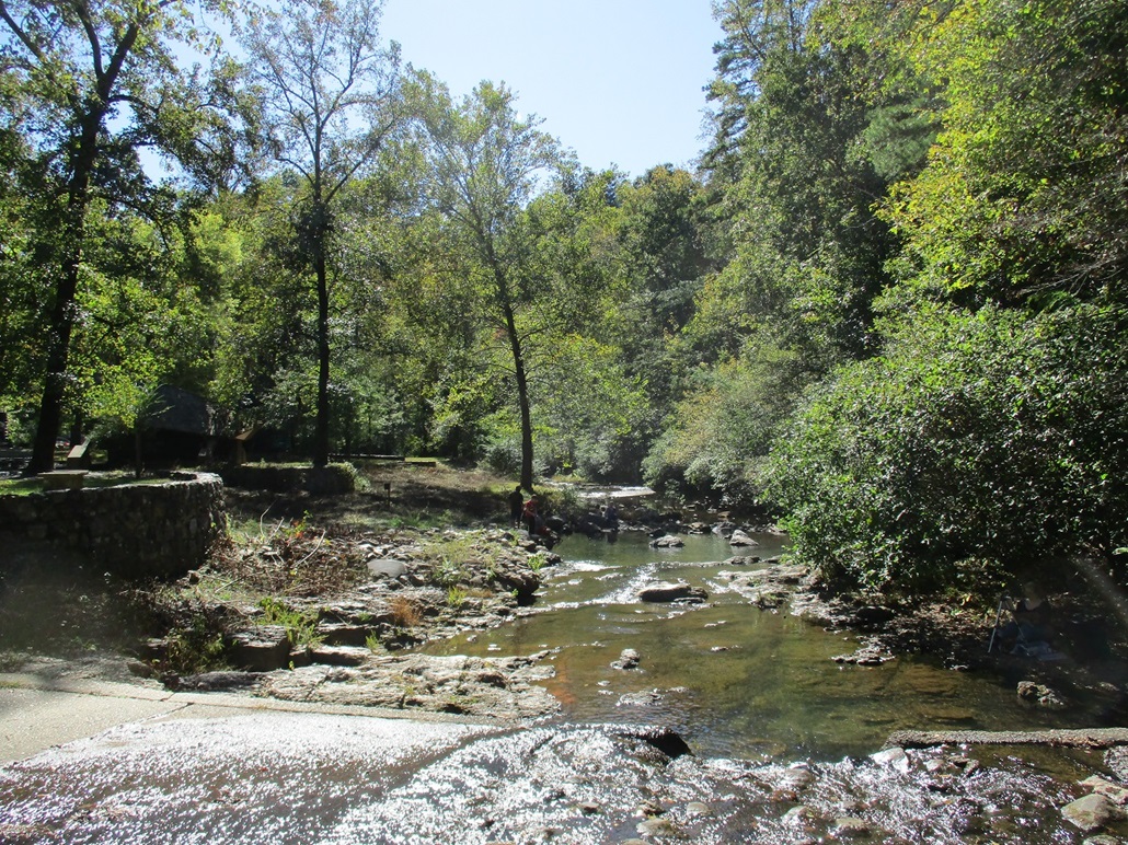
I drove north up the road and immediately angled left into a camping area and parking lot for the Gulpha Gorge Trail, one of about three hundred trails that get one to the top (I kid, of course, but there were many options). I parked at the north end near the amphitheater, and briefly talked with a group of guys about my age, all looking like they're out for a hike or some general wandering. Other people were there too, many of them fishing in Gulpha Creek.
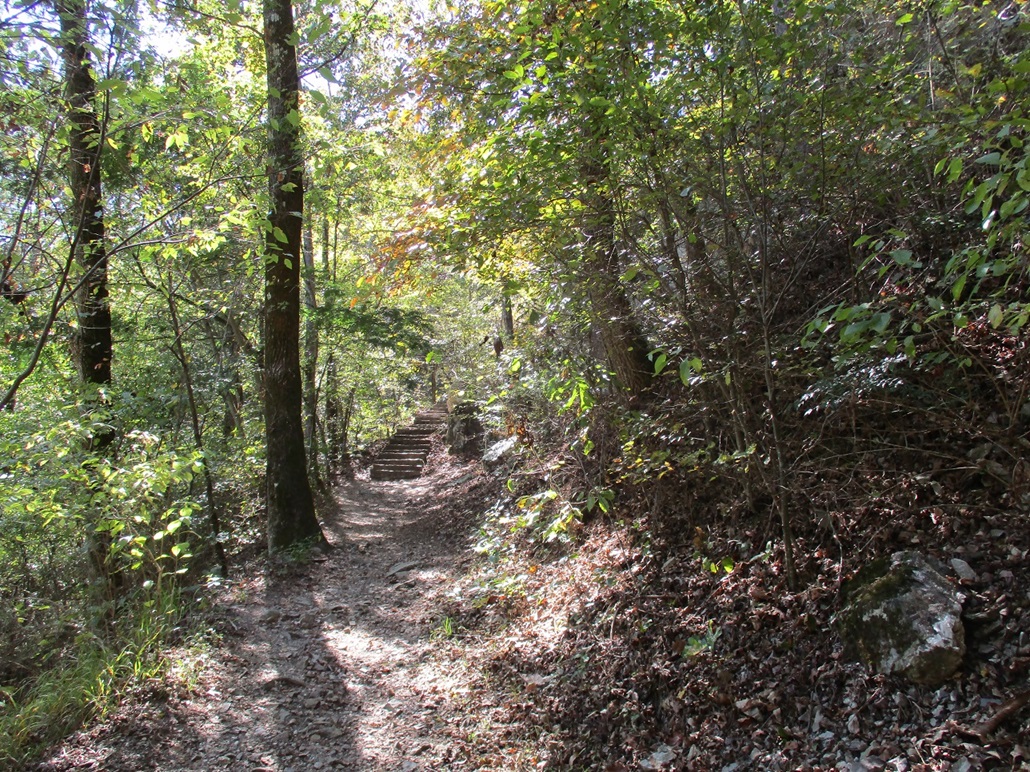
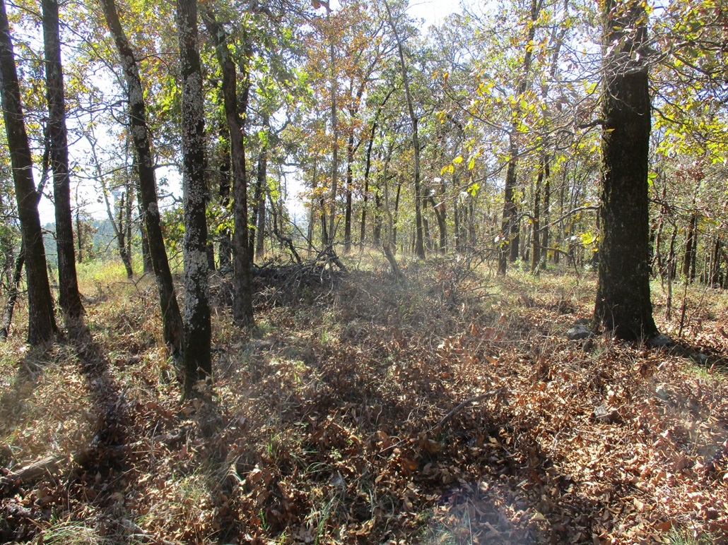
I walked across the creek over a concrete check dam, then on the trail itself. I expected more people to be on the trail, but only one guy from that group was on the trail as far as I could tell. I passed one older couple about half way up but otherwise, did not see anyone. The trail is well-built and pitched at a lenient grade. It gains about 500 feet in 0.8 mile, and I was at its top terminus in about 15 minutes.
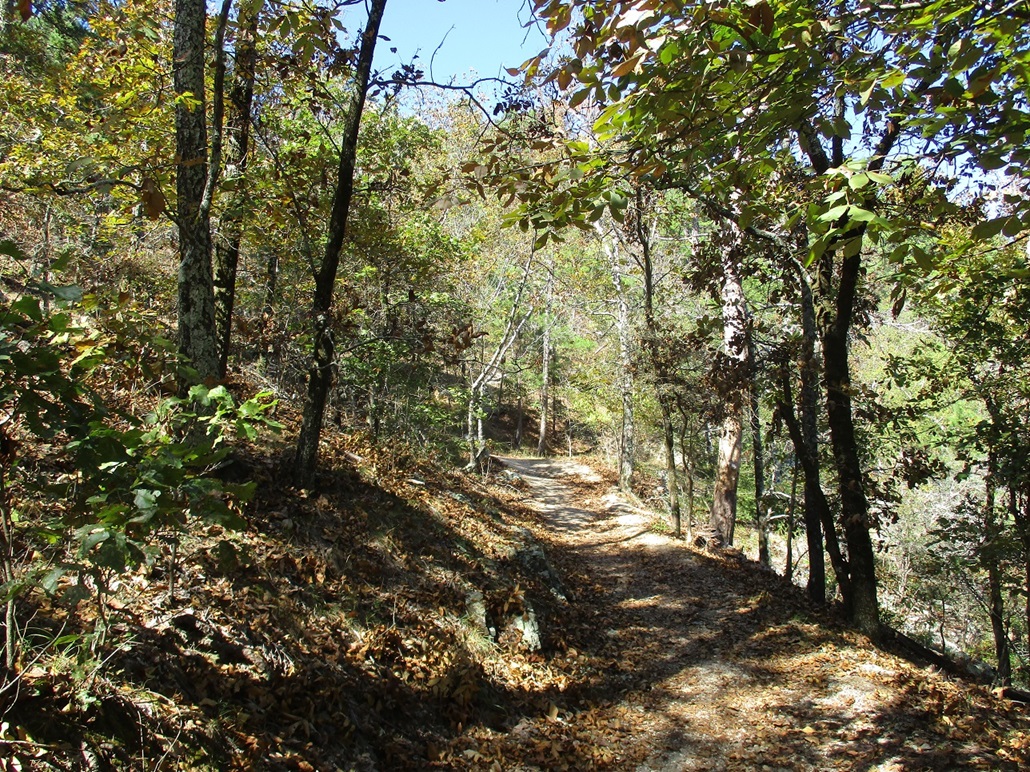
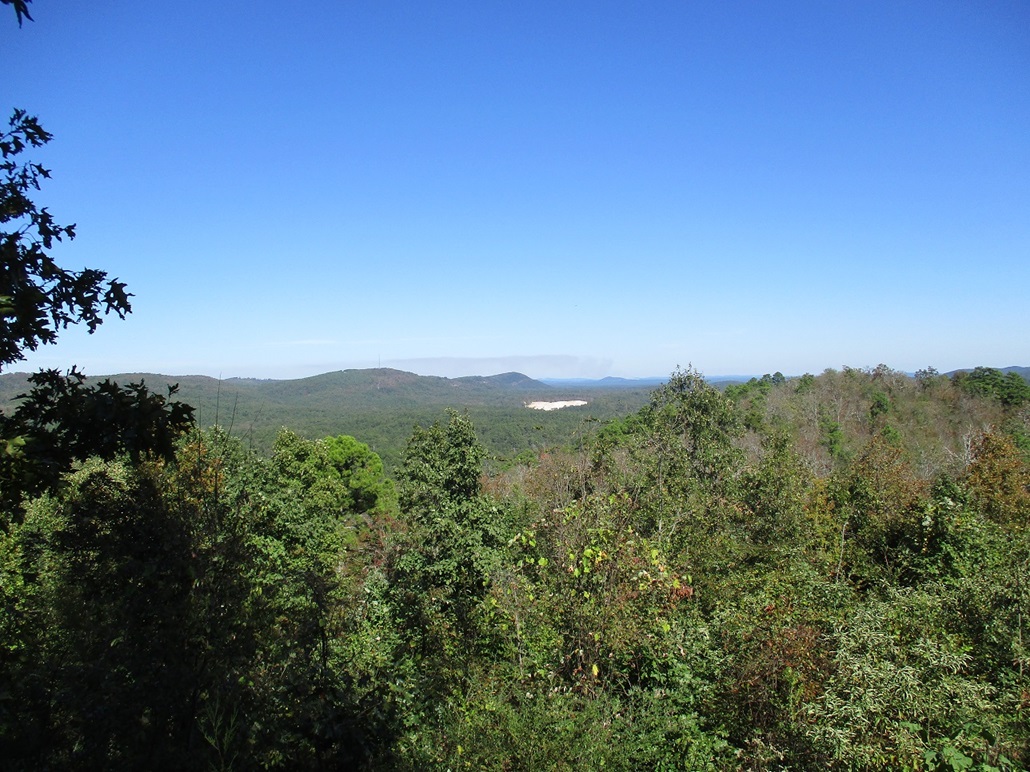
The trail ends at a shelter and one of the paved roads. I walked the paved road heading northeast, North Mountain above and to my left. It does not appear there are any developed routes to the top, and most people up here were driving to the viewing platforms. I walked to the far end of the road to an overlook. There was a brush fire burning about 20 miles away. I snapped an image of the viewscape and the smokey plumes.
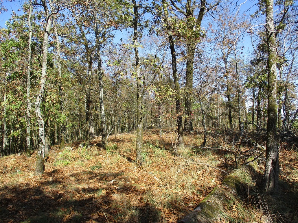
I was hoping that I'd find some unofficial footpath up the steep slopes to North Mountain, but found nothing. I picked a spot and busted up about ten feet of steep loose slope, putting me on a lesser slope covered in leaves and twigs. I walked uphill and soon was at the top, a gentle hump in the trees with no views. I did not stay long and retreated the way I came, entering back onto the road at nearly the same spot (I could see my bootprints).
I walked the remainder of the road back to the shelter, then back down the trail to Gulpha Creek. Two of the guys from that group were relaxing near the amphitheater, so I talked with them for about 10 minutes. They are locals and it was a good chance to get their take on the area, what to see and do. They were good guys.
The hike took me a little over an hour and was a good tour of the kind of trees and terrain that is in this part of the country. It was still early with time to kill, so I drove out and toured the main roads in and around the national park, which appears to be non-contiguous segments interspersed in and around the city.
I drove north on the road about a mile or two to where it intersected Park Avenue, around the back side of the mountains relative to the main part of the city, which lies south of the mountains. Here, Park Avenue runs in a small valley with older buildings, homes, hotels and hot springs resorts. This area is rough around the edges but looks like it has aged well. I then followed Park Avenue as it curled south and then through the narrow canyon where the big bath-houses stand. These buildings are massive and elaborate. I enjoyed the tour and the architecture.
I was back to the hotel soon, total time gone about three hours. I was happy to get this hike in and enjoyed my brief time exploring the park. We spent the remainder of the day relaxing and watching television, plus a later meal at the local Cracker Barrel.
|

|